Saltese - St. Paul Pass
Total Miles
9.0
Technical Rating
Best Time
Spring, Summer, Fall
Trail Type
Full-Width Road
Accessible By
Trail Overview
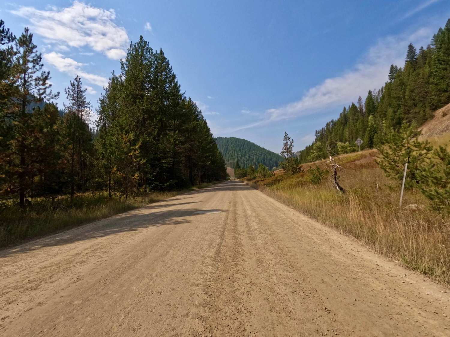
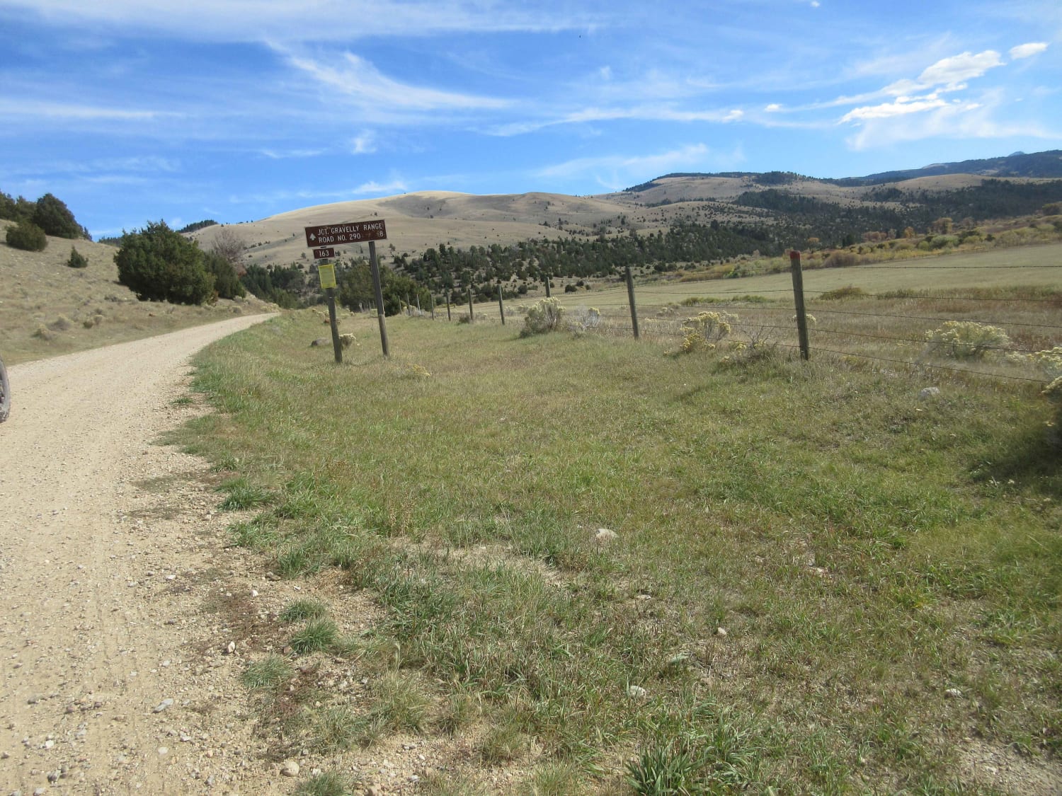
The route begins on the Haugan/Randolph Creek Loop Rd from Saltese. The route parallels both the St. Regis River and Old Milwaukee Grade. The route is two lanes and made up of a smooth gravel base with gentle curves and open areas to view. The route can be very dusty in dry conditions, but great to ride after rain. The route passes the entrance road to the Route of the Hiawatha Bicycle Trail. The end of the route leads you to Cliff Creek Road and the Idaho State Line Road.
Photos of Saltese - St. Paul Pass
Difficulty
The route is flat, wide, and smooth for the majority of it. Some water potholes could be encountered after rain. The route can be very dusty at times.
Saltese - St. Paul Pass can be accessed by the following ride types:
- High-Clearance 4x4
- SUV
- SxS (60")
- ATV (50")
- Dirt Bike
Saltese - St. Paul Pass Map
Popular Trails
The Good, the Bad and the Ugly
Continental Divide/Upper Ruby Road (FS100) (Parital)
The onX Offroad Difference
onX Offroad combines trail photos, descriptions, difficulty ratings, width restrictions, seasonality, and more in a user-friendly interface. Available on all devices, with offline access and full compatibility with CarPlay and Android Auto. Discover what you’re missing today!

