South Fork Second Creek Road-Nine Mile Divide Trailhead
Total Miles
8.8
Technical Rating
Best Time
Spring, Summer, Fall
Trail Type
High-Clearance 4x4 Trail
Accessible By
Trail Overview
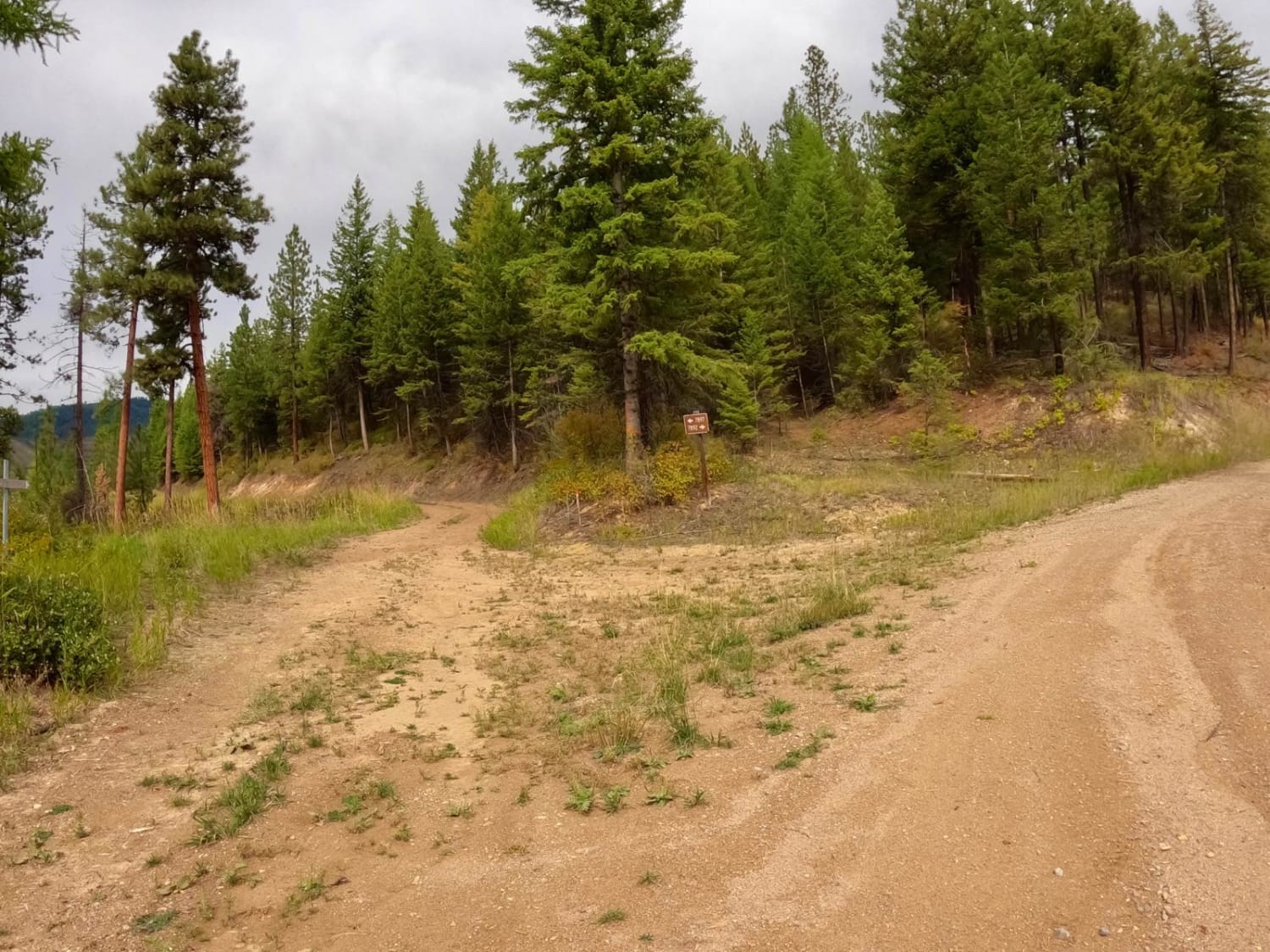
The route begins from where Kings Ridge Road and South Fork of Second Creek Road meet. The route is mainly gravel but will have spots of packed dirt and grass. There are many sharp curves and drop-offs that the route passes through. The route is very scenic to both the east and west of the South Fork of Second Creek. The route has a gain of close to 2,400 feet and tops off at an elevation of close to 6,500. The route is one lane with no room to pass for the last couple of miles, but it's mainly two lanes for the most part. There are stops to enjoy the scenery and have a snack along many parts of the route. Offline maps are needed for parts of the route with sporadic cell service. Wildlife has been observed while on the route. Parts of the route have been extensively logged, but no logging operations are ongoing now. The trailhead from the South Fork of Second Creek Road to First Creek Road along the Nine Mile Divide begins at the end of the route. It is a one-mile hike from the start of the trailhead to First Creek Road.
Photos of South Fork Second Creek Road-Nine Mile Divide Trailhead
Difficulty
Sharp rocks and boulders could be in the route in many places. Sharp curves and steep embankments are along the route. There are spots where the route turns to one lane with no passing room.
History
Areas of the route have been logged in the past
South Fork Second Creek Road-Nine Mile Divide Trailhead can be accessed by the following ride types:
- High-Clearance 4x4
- SxS (60")
- ATV (50")
- Dirt Bike
South Fork Second Creek Road-Nine Mile Divide Trailhead Map
Popular Trails

Sunshine Ridge

South Fork Nemote Creek - Sheridan Ridge Loop
Bush Moose Ridge
Cliff Creek Trail
The onX Offroad Difference
onX Offroad combines trail photos, descriptions, difficulty ratings, width restrictions, seasonality, and more in a user-friendly interface. Available on all devices, with offline access and full compatibility with CarPlay and Android Auto. Discover what you’re missing today!
