Off-Road Trails in Montana

Discover off-road trails in Montana

Learn more about $50,000 Silver Dollar Inn - FSR 288
$50,000 Silver Dollar Inn - FSR 288

$50,000 Silver Dollar Inn - FSR 288

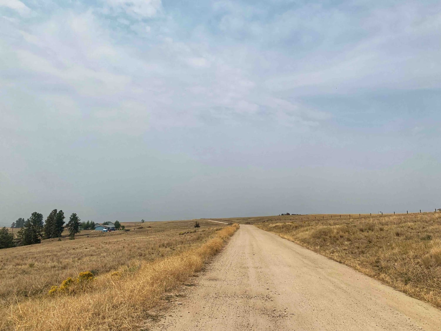
This trail starts just to the North of the Old Montana Club on Timber Creek Road. The route is very wide and made up of gravel and some small areas of pavement. Gentle curves and…
Learn more about $50,000 Silver Dollar Inn - FSR 288
Total Miles
7.5
Tech Rating
1 Easy
Best Time
Spring, Summer, Fall
Learn more about 2103 West Fork Gold Creek
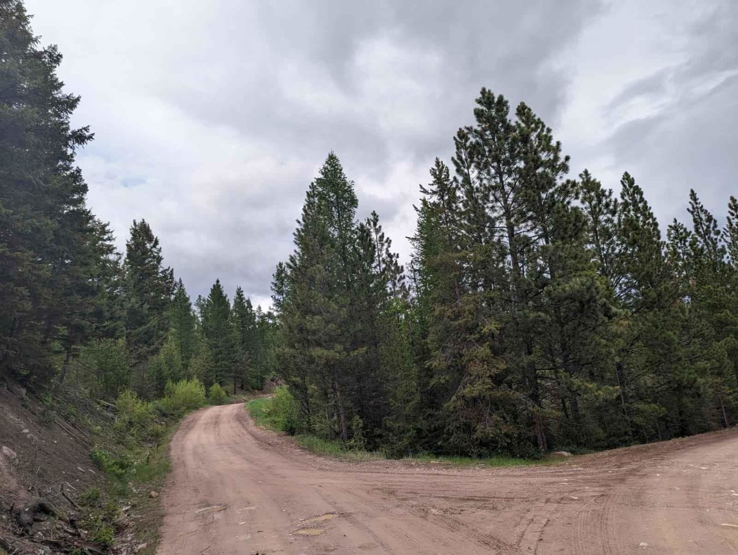
2103 West Fork Gold Creek

2103 West Fork Gold Creek

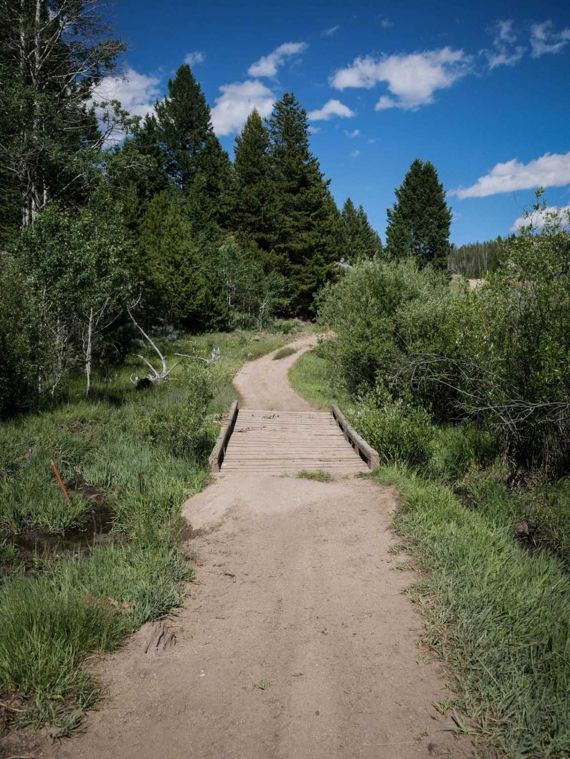
This trail starts as a spur off of Gold Creek road just before the locked gate at mile 7 bridge. The trail is a fairly high use road that was built for logging trucks so…
Learn more about 2103 West Fork Gold Creek
Total Miles
5.7
Tech Rating
3 Easy
Best Time
Spring, Summer, Fall, Winter
Learn more about 620 Character Ridge Road
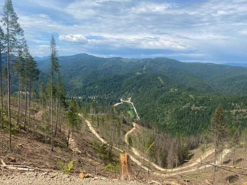
620 Character Ridge Road

620 Character Ridge Road

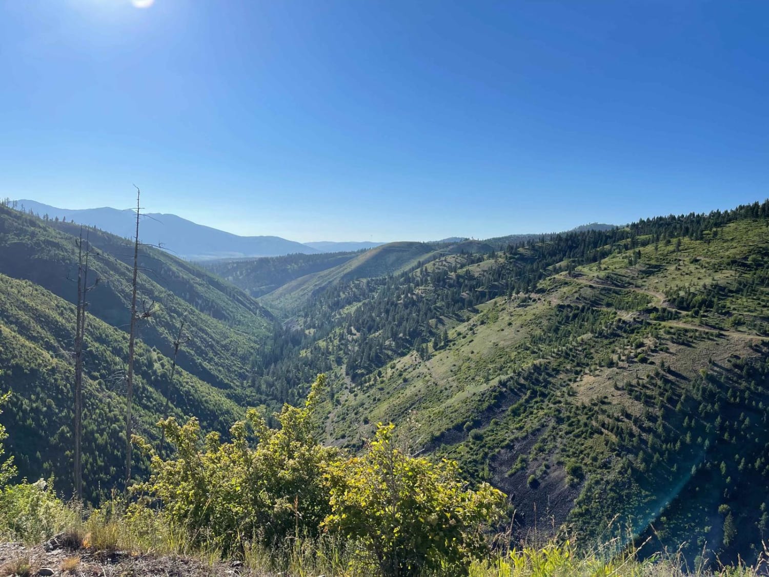
This road winds along Character Ridge from Moon Saddle and down to the North Fork Coeur d'Alene River. Active logging operations have expanded and improved the existing road with new grading and plenty of room…
Learn more about 620 Character Ridge Road
Total Miles
10.6
Tech Rating
1 Easy
Best Time
Spring, Summer, Fall
Learn more about 7268
7268

7268

This is a 1 mile ATV trail through the Deerlodge National Forest in the Pipestone OHV area. Two boulders lining the trail at the west entrance prevent full-width vehicles from entering, but it continues as…
Learn more about 7268
Total Miles
0.9
Tech Rating
2 Easy
Best Time
Spring, Summer, Fall
Learn more about 8 Mile
8 Mile

8 Mile

This narrow, easy climb heads from the Bitterroot valley into the sapphire mountains. It begins in a residential area and then hits loose, steep switchbacks to begin the ascent. The trail gets relatively narrow in…
Learn more about 8 Mile
Total Miles
14.5
Tech Rating
3 Easy
Best Time
Fall, Summer, Spring
Learn more about 812 ATV Trail
812 ATV Trail

812 ATV Trail

This is one of very few 50" trails on the Flathead National Forest. It's a short but fun trail that climbs in elevation quickly and the end of the trail has great views overlooking Ashley…
Learn more about 812 ATV Trail
Total Miles
3.9
Tech Rating
3 Easy
Best Time
Spring, Summer, Fall
Learn more about 832 WP
832 WP

832 WP

This is a 1.4-mile long 50" trail that follows some powerlines through the Pipestone OHV area in the Deerlodge National Forest. The west end is accessed off of Delmoe Lake Road at a rock pinch…
Learn more about 832 WP
Total Miles
1.3
Tech Rating
4 Moderate
Best Time
Spring, Summer, Fall
Learn more about Acton Recreation Area
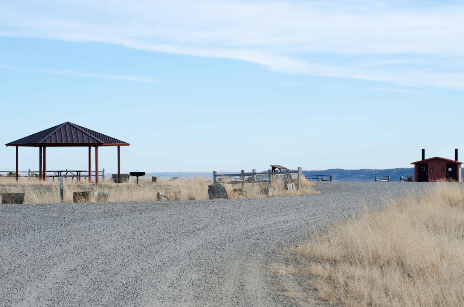
Acton Recreation Area

Acton Recreation Area

There are approximately 6.5 miles of roads used for motorized use in this area. Although not very technical, the roads provide off-roaders of all skill level an area to practice and explore on their mountain…
Learn more about Acton Recreation Area
Total Miles
3.6
Tech Rating
2 Easy
Best Time
Spring, Summer, Fall
Learn more about Albert Lothrop Rd 5563
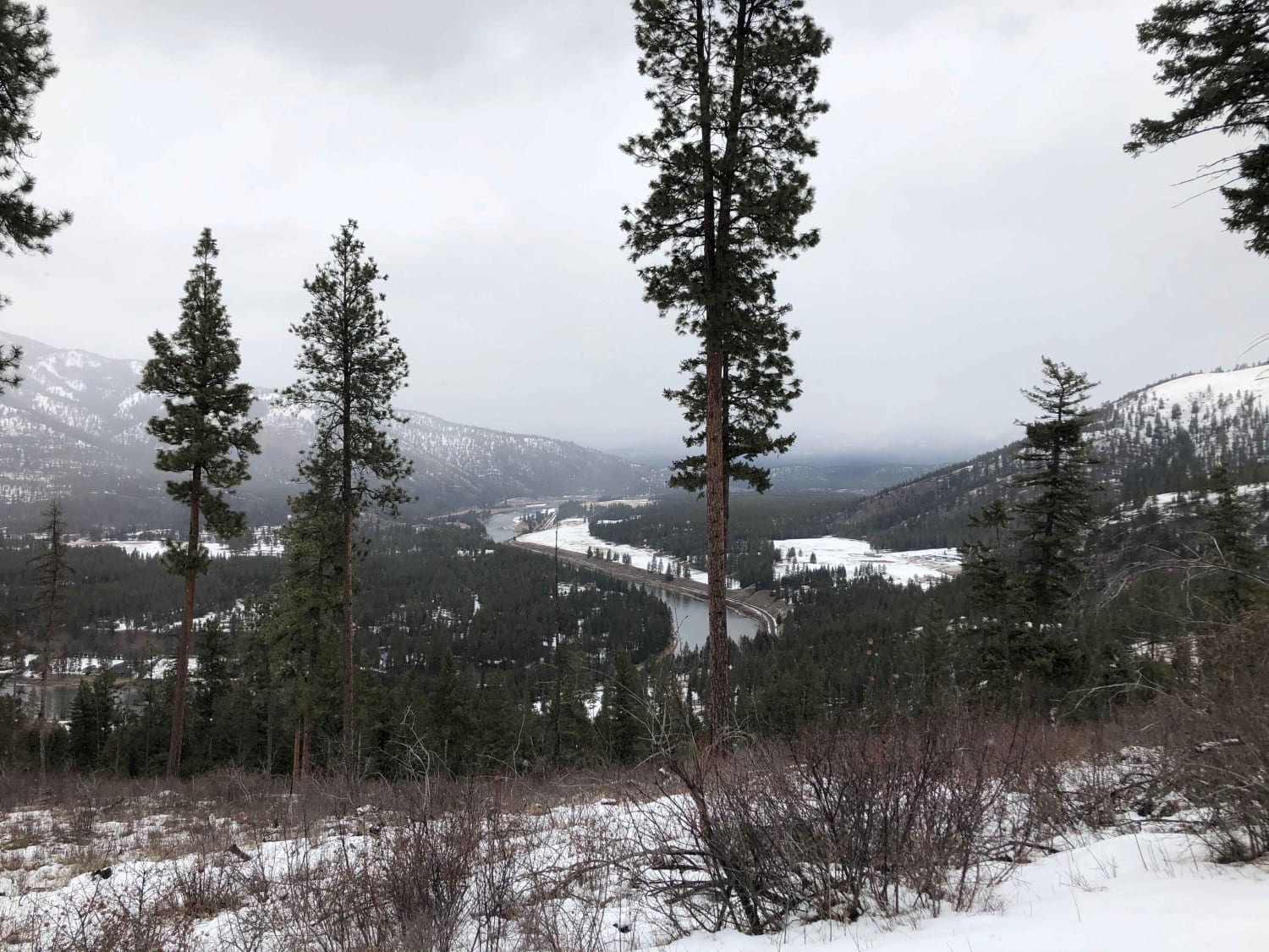
Albert Lothrop Rd 5563

Albert Lothrop Rd 5563

Climb your way up into the hills above Alberton and enjoy the views of the Clark Fork river as well as the hills of the Lolo National Forest. This well maintained dirt road is open…
Learn more about Albert Lothrop Rd 5563
Total Miles
13.6
Tech Rating
3 Easy
Best Time
Spring, Summer, Fall
Learn more about Alpine #7
Alpine #7

Alpine #7

This trail is packed full of views of alpine ridge tops and mountain peaks. You can make some really fun loops out of some of the access trails and the Alpine trail. The Alpine trail…
Learn more about Alpine #7
Total Miles
14.7
Tech Rating
5 Moderate
Best Time
Summer
Learn more about Ambrose Trail
Ambrose Trail

Ambrose Trail

A wide well-grated dirt trail that begins at the base of the Sapphire Mountain range and gains elevation up into the mountains. It is a great trail to access other trails including the Sawmill Ridge…
Learn more about Ambrose Trail
Total Miles
7.7
Tech Rating
1 Easy
Best Time
Summer, Fall
Learn more about Anaconda Microwave Overlook
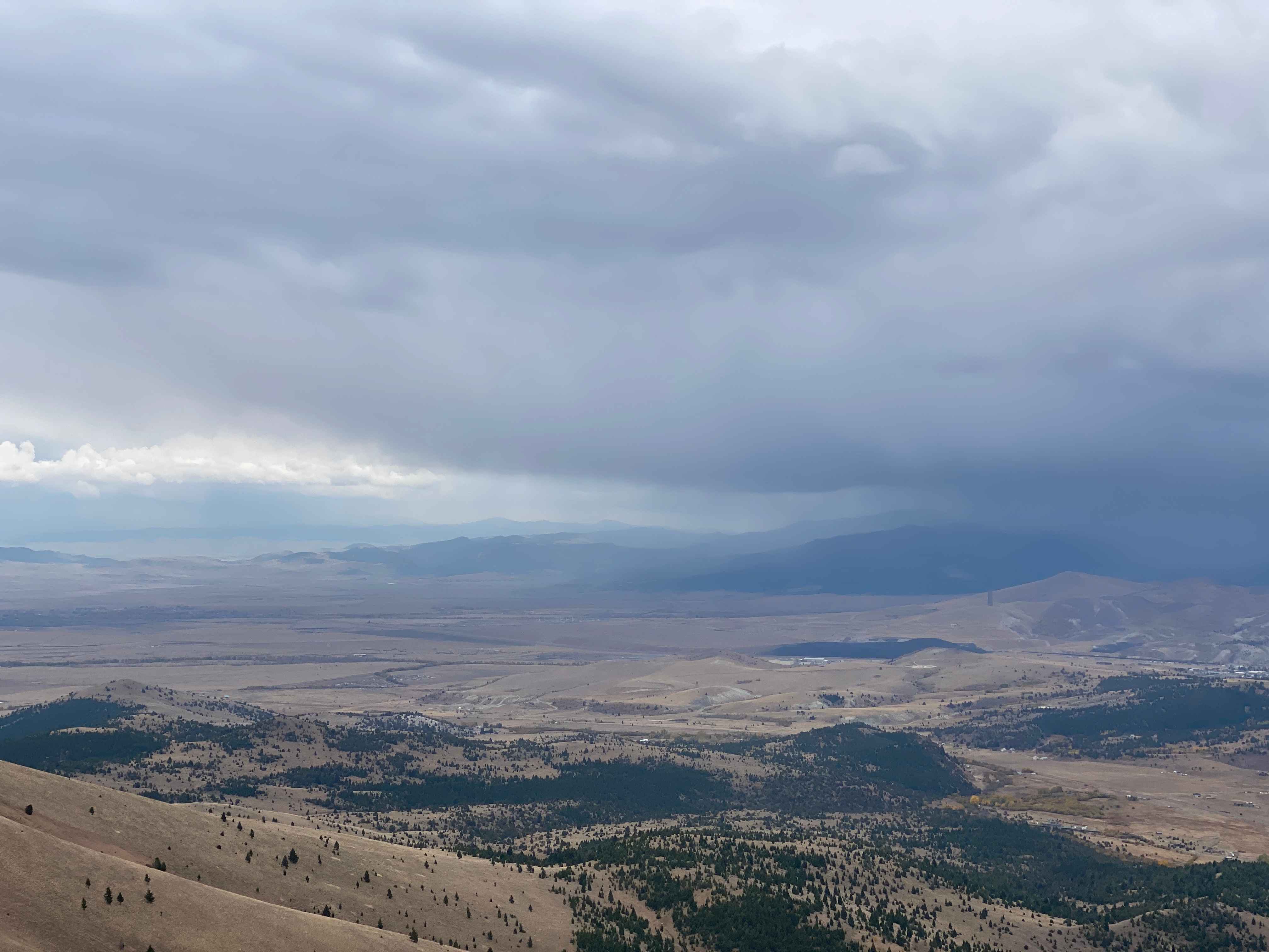
Anaconda Microwave Overlook

Anaconda Microwave Overlook

On the trail, you will go past a few residential homes and generally stay left to avoid their driveways and stay on the route. After passing through an H1 wide wallow, you will go through…
Learn more about Anaconda Microwave Overlook
Total Miles
5.1
Tech Rating
3 Easy
Best Time
Spring, Summer, Fall
Learn more about Antelope Basin (FS 230)
Antelope Basin (FS 230)

Antelope Basin (FS 230)

If toured at the correct time of the year, this is an exceptionally beautiful area with tall grasses and fields of wildflowers. In addition, there are many unique and spectacular rock formations. One that struck…
Learn more about Antelope Basin (FS 230)
Total Miles
6.9
Tech Rating
2 Easy
Best Time
Summer, Fall
Learn more about Archibald Loop
Archibald Loop

Archibald Loop

The stunning scenic trail rises far above Seeley Lake into the hills. There are incredible vistas of the lakes and surrounding mountains but no real places to camp unless a pullout in front of a…
Learn more about Archibald Loop
Total Miles
7.2
Tech Rating
2 Easy
Best Time
Fall, Summer, Spring
Learn more about Ashley Divide
Ashley Divide

Ashley Divide

This trail climbs up to a ridgeline and follows the ridgeline to four other trails. This trail is also referred to as "Shale Trail" by the locals. It starts off rocky and turns into a…
Learn more about Ashley Divide
Total Miles
6.6
Tech Rating
4 Moderate
Best Time
Spring
Learn more about Ashley Mountain
Ashley Mountain

Ashley Mountain

This trail starts out on an old logging road and then starts to climb up Ashley Mountain. In late spring and early summer, the trail is surrounded by wildflowers. Although this is a shorter trail…
Learn more about Ashley Mountain
Total Miles
4.5
Tech Rating
3 Easy
Best Time
Spring, Summer, Fall
Learn more about Auggie Cutoff Trail
Auggie Cutoff Trail

Auggie Cutoff Trail

Auggie Cutoff TrailThis short cutoff trail is a great way to hop from Rice Ridge to Morrell Clearwater. There are plenty of pullouts to make camp close to town and a few bars of LTE…
Learn more about Auggie Cutoff Trail
Total Miles
3.3
Tech Rating
2 Easy
Best Time
Spring, Summer, Fall
Learn more about Aurora Basin Road
Aurora Basin Road

Aurora Basin Road

Fun trail with a great hike at the end to Doris Mountain. The trail is narrow, rocky, and slow going in some parts. 4x4 isn't necessary, but good tires are. Parking at the trailhead is…
Learn more about Aurora Basin Road
Total Miles
11.6
Tech Rating
4 Moderate
Best Time
Spring, Summer, Fall
Learn more about Axolotl Lakes Road
Axolotl Lakes Road

Axolotl Lakes Road

Axolotl Lakes Road is like a fine sampling of the beauty Montana has to offer. It begins in one of the state's charming towns, Virginia City, complete with weathered wooden buildings and small restaurants and…
Learn more about Axolotl Lakes Road
Total Miles
11.7
Tech Rating
3 Easy
Best Time
Summer, Fall
Learn more about Badger Creek
Badger Creek

Badger Creek

The Badger Creek Trail is just under 3 miles and connects Indian Creek Trail with Merrel Springs Trail. The highest elevation on this trail is 7353 feet, and you drop down to 6400 feet at…
Learn more about Badger Creek
Total Miles
2.8
Tech Rating
2 Easy
Best Time
Spring, Summer, Fall
1 2 3 4 5 6 7 8 9 10 ... 32

The onX Offroad Difference

onX Offroad combines trail photos, descriptions, difficulty ratings, width restrictions, seasonality, and more in a user-friendly interface. Available on all devices, with offline access and full compatibility with CarPlay and Android Auto. Discover what you’re missing today!