5 Canyon Pass
Total Miles
4.1
Elevation
2,170.57 ft
Duration
0.5 Hours
Technical Rating
Best Time
Spring, Summer, Fall, Winter
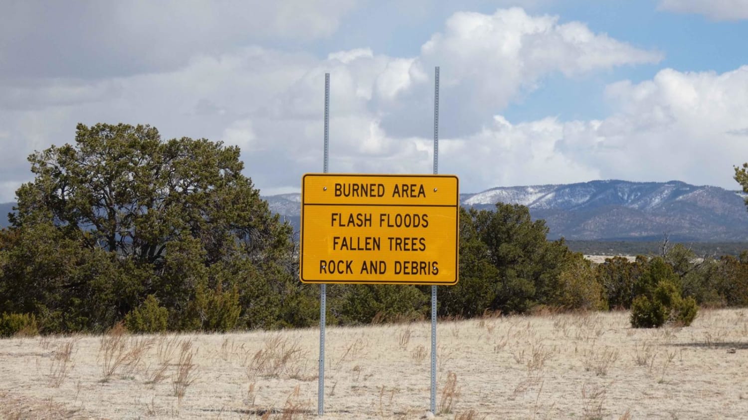
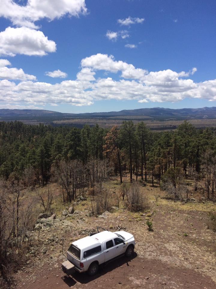
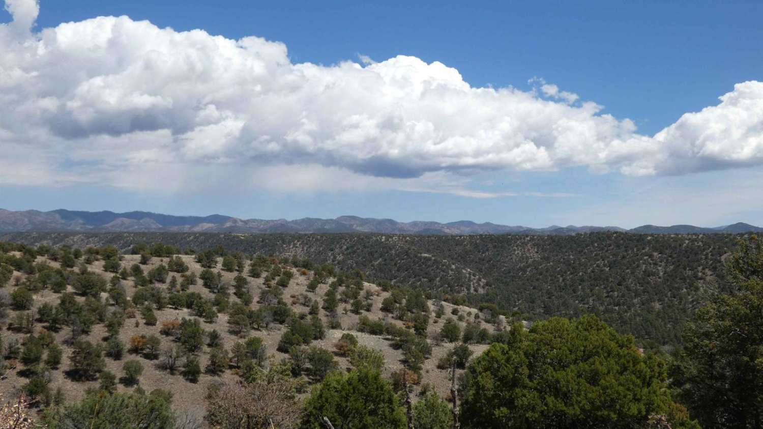
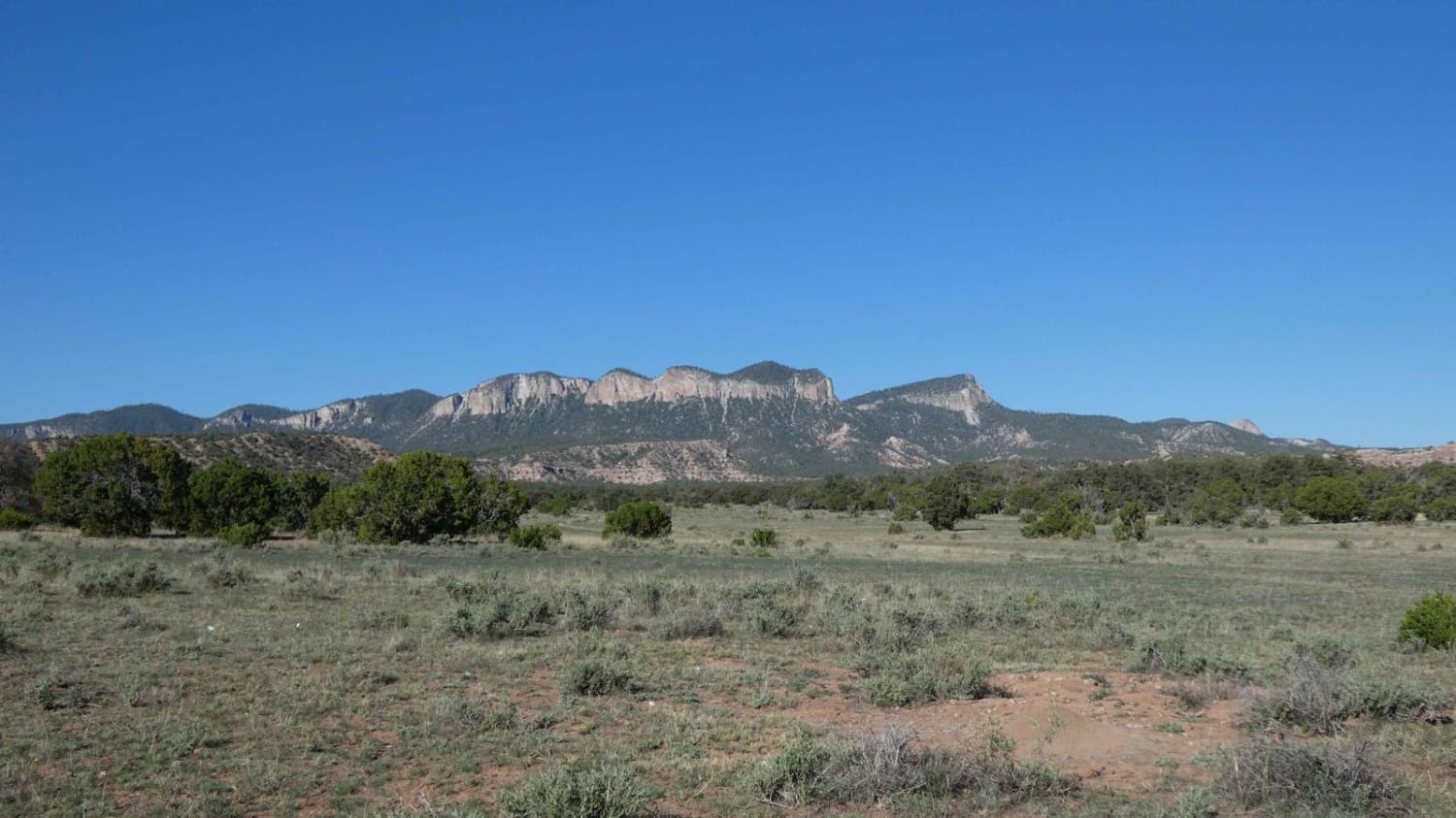
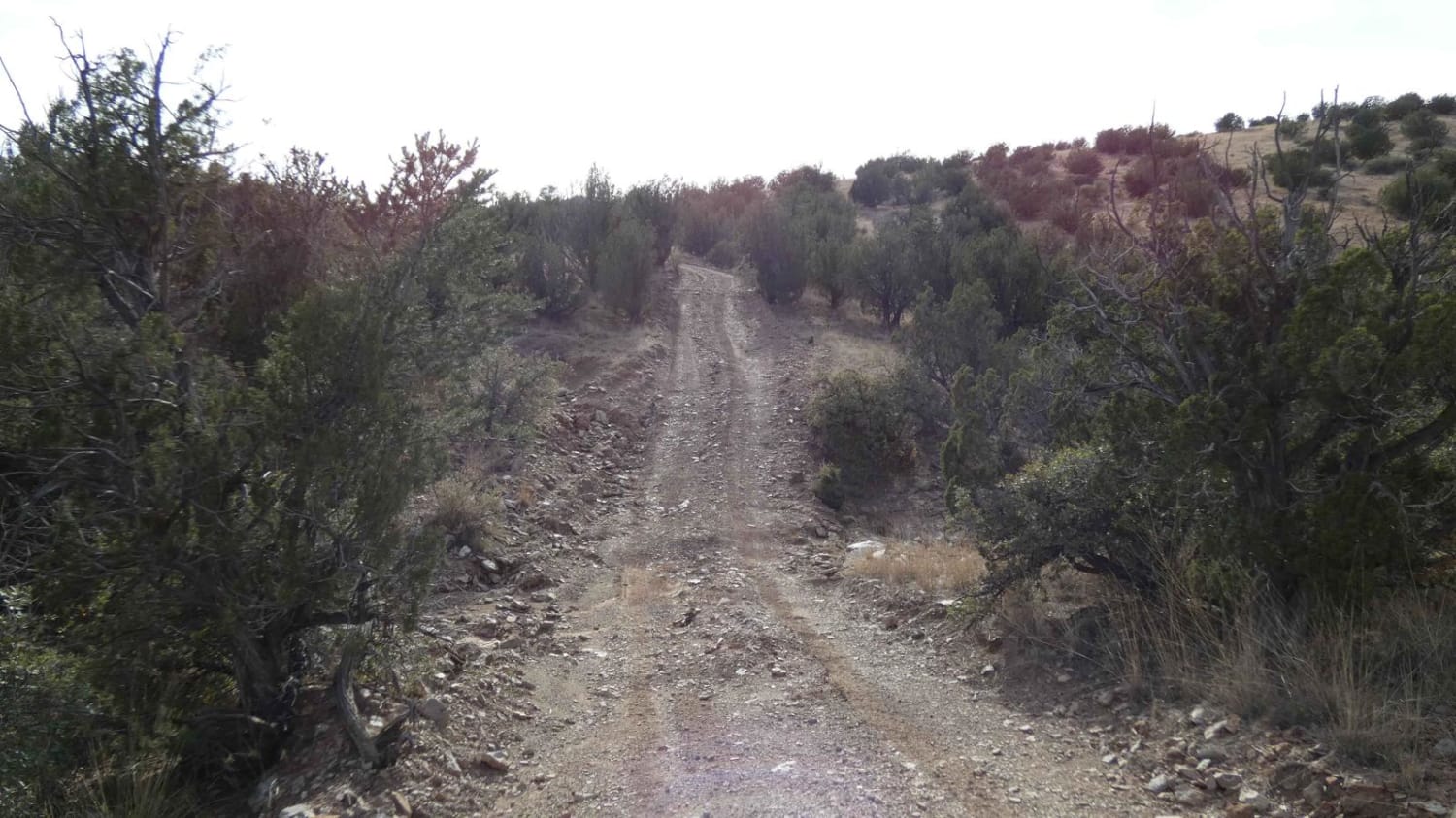
Trail Overview
Cutting through 5 different canyons, this out-and-back trail begins on a recently maintained two-track that changes to a rocky drive riverbed after crossing the first deeper wash section. Drivers will have to navigate through a section of a sandy washbed before coming across sections of larger rocks up to 18 inches in size as the trail cuts through a riverbed. The trail progressively becomes more narrow, with the last couple of miles having little to no room for passing, and a small amount of room to turn around. The out-and-back trail abruptly ends at areas where trees and brush have overgrown onto the trail that continues through the riverbed. This is a burn scar area, and while there are little signs of the scarring, there are indications of flooding, with water possibly being more than 12 inches deep in some areas. Cell service is strong at the beginning of the trail but after 1 mile in, the service drops to no signal.
Photos of 5 Canyon Pass

Difficulty
Drivers will encounter sandy washes, potential water crossings, and larger rocks. One section of the trail has several larger rocks, approximately 18 inches in size, that will need to be navigated. The trail ends at a tight section next to the small riverbed and gives very little room to turn around.
Status Reports
Popular Trails
Chloride Canyon
Powderhorn Ridge
Davenport Canyon FS6
Deer Spring
The onX Offroad Difference
onX Offroad combines trail photos, descriptions, difficulty ratings, width restrictions, seasonality, and more in a user-friendly interface. Available on all devices, with offline access and full compatibility with CarPlay and Android Auto. Discover what you’re missing today!