Deer Spring
Total Miles
8.7
Elevation
1,968.02 ft
Duration
1 Hours
Technical Rating
Best Time
Spring, Summer, Fall, Winter
Trail Overview
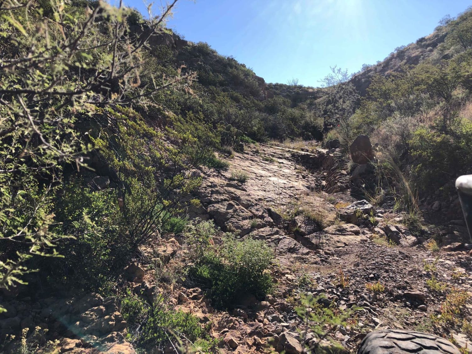
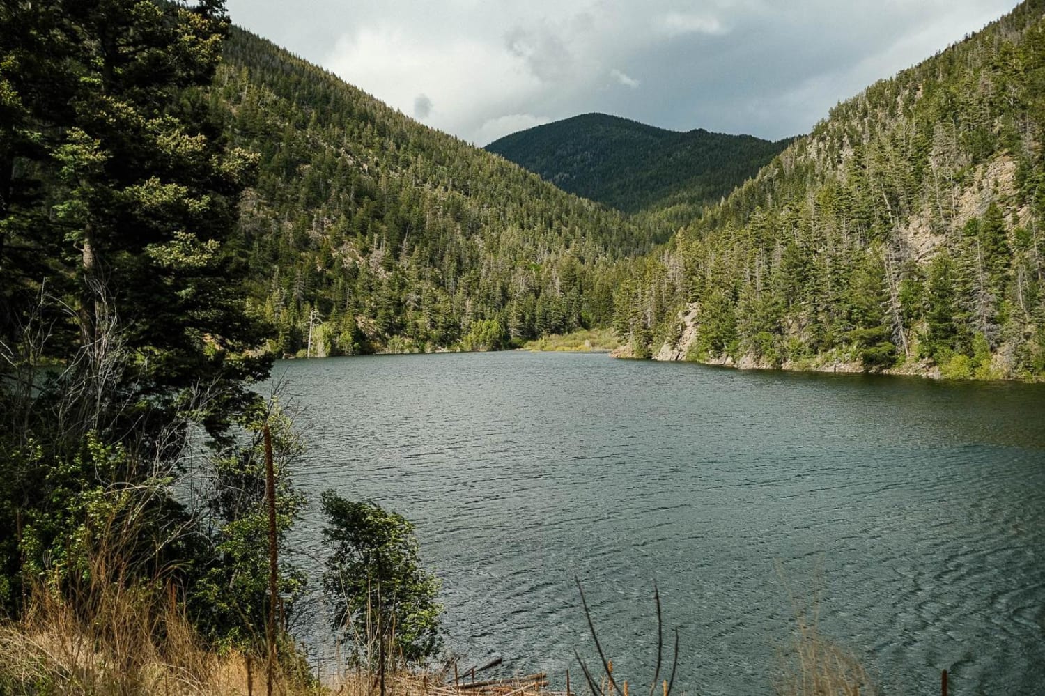
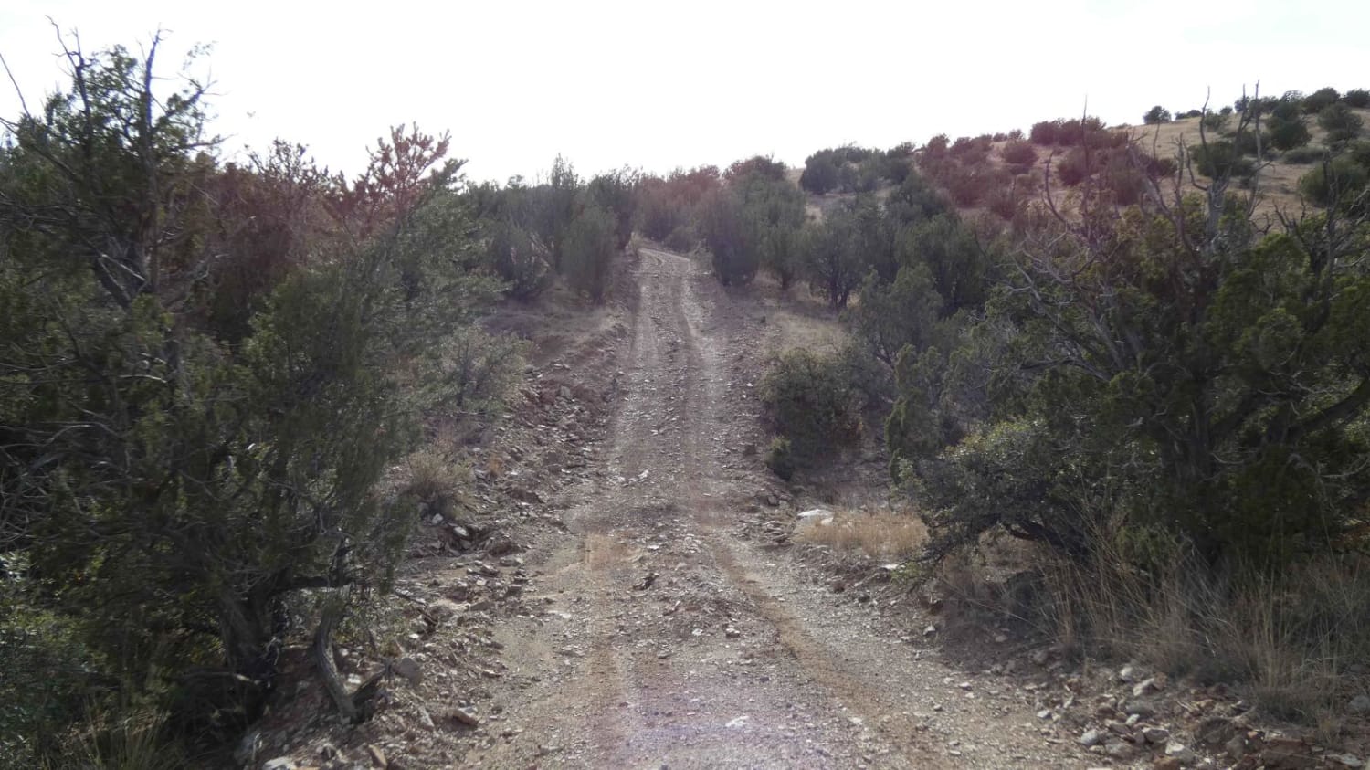
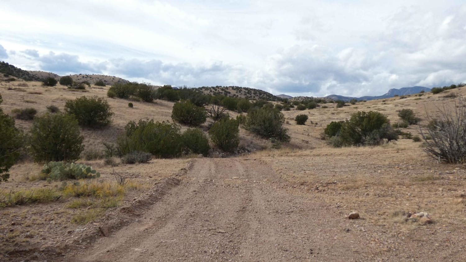
Deer Spring is a point-to-point trail that connects FSR-139/Red Rock to FSR-936/Penasco Springs to the north. If the trail is accessed at the north end from Penasco Springs, drivers will start on a dirt and rock surface with some short, low-grade hills and a few small washes. Approximately 1 mile into the trail, there is a short steep grade that is noted as the "X Ranch High Spot". This 15% grade climb is on a loose rocky surface that leads to a great vantage point that gives great views of the surrounding area. The rest of the trail is comprised of some very small rock gardens and a tight river bed that winds out of the canyon with a soft sand and shale surface. The trail is primarily single-vehicle-wide with very little room to pass in most areas. The dry river bed is lined with trees and brush for a majority of its length before turning back onto a dirt surface road towards the south. Cell service is only present at the south end of the trail near Red Rock and at the X Ranch High Spot. Dispersed camping is permitted on the entire length of this trail.
Photos of Deer Spring
Difficulty
Drivers will encounter loose rocky surfaces, a steep 15% grade hill, and a dry river bed with a soft sand and shale surface. Some small washes have the potential to be shallow water crossings after rains. There are small rock gardens along the trail and some larger loose rocks up to 12 inches in size.
Status Reports
Popular Trails

American Canyon - FSR 310

The Mine Shaft

Cabresto Lake - FS 134A

Sargent Canyon
The onX Offroad Difference
onX Offroad combines trail photos, descriptions, difficulty ratings, width restrictions, seasonality, and more in a user-friendly interface. Available on all devices, with offline access and full compatibility with CarPlay and Android Auto. Discover what you’re missing today!

