Mt. Taylor Peak 4x4 Road
Total Miles
17.5
Technical Rating
Best Time
Spring, Summer, Fall
Trail Type
Full-Width Road
Accessible By
Trail Overview
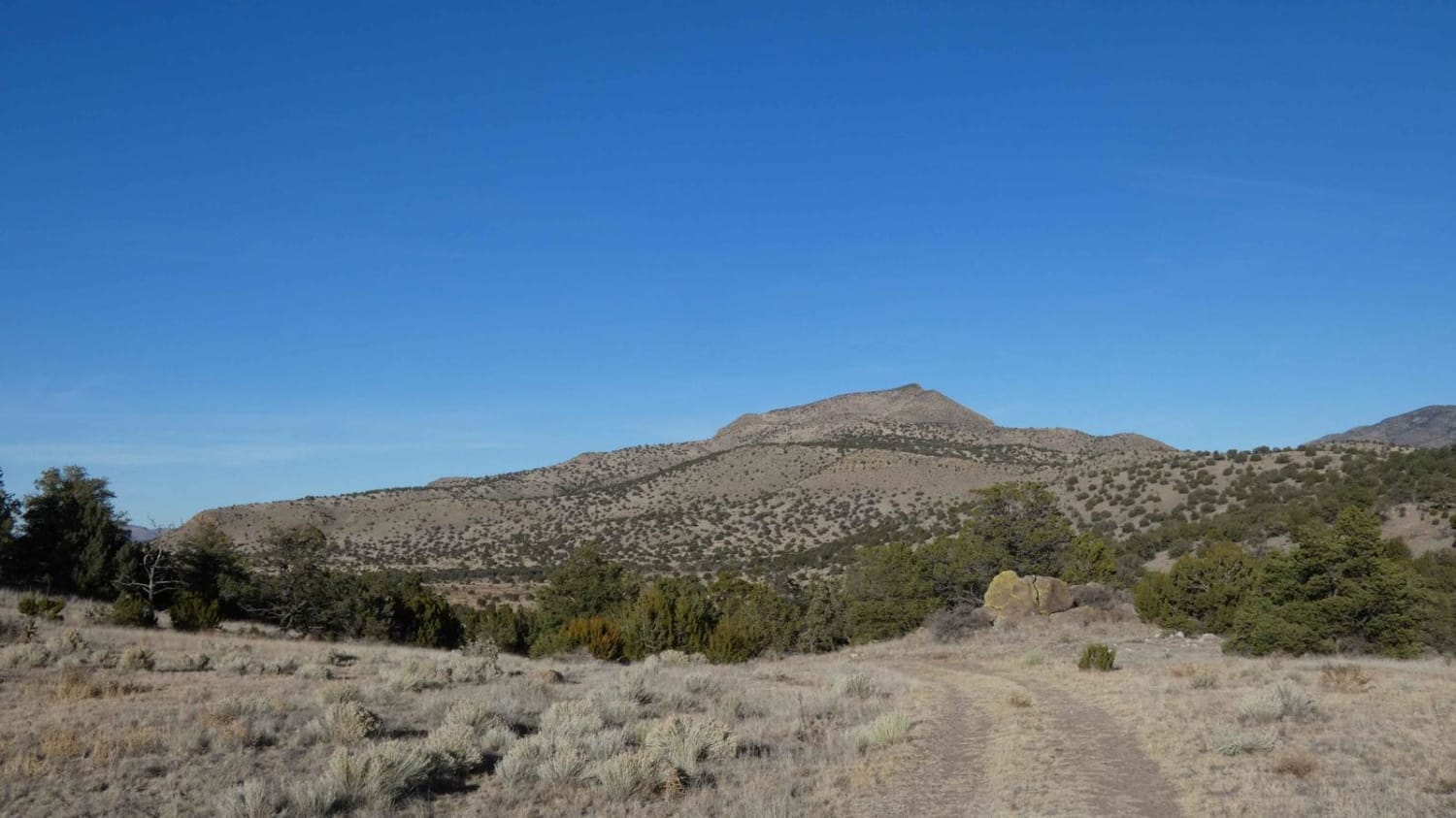
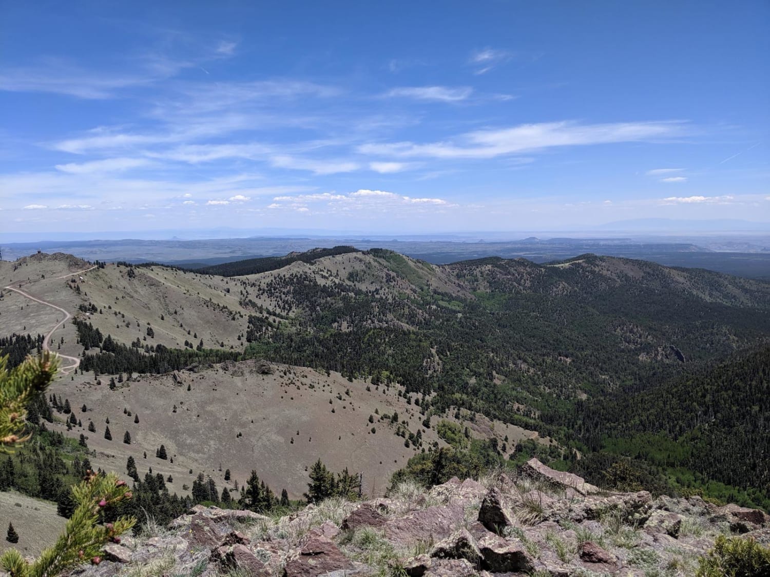
This 4x4 road is a great intro to overlanding, with stunning views and minimal technical obstacles. Starting from Grants, the road climbs almost 5000 feet to within 1/2 mile of Mt. Taylor peak. The road starts off as graded gravel, giving way to a more primitive dirt road, which is easily passable in any 4x4 or AWD up until the saddle between Mosca Lookout and Mt. Taylor. The last 3 miles of the trail feature some very moderate slopes, which require low range for controlled ascent. A full size pickup can easily make it to the peak, though the road narrows in places leading to pinstriping from branches on either side for these larger vehicles. Along the way, views of aspen covered hillsides give way to long vistas across the desert towards Arizona. The final hike to the peak is steep, but short, and on a well-maintained path that is well worth the hike. This trail closes periodically in winter, depending on the snow patterns in NM. During the late summer, watch for monsoon rains, which can rapidly make the road significantly more difficult to drive. There is minimal cell service once leaving Grants, so make sure to download your onX maps before hand, and let people know where you are going. Local traffic up to the saddle is typically in the 5-10 vehicles range in the summer, with significantly less in the late fall and winter. Road is mostly 1 vehicle wide, with plenty of places to pass as there are very few times the trail is near an edge.
Photos of Mt. Taylor Peak 4x4 Road
Difficulty
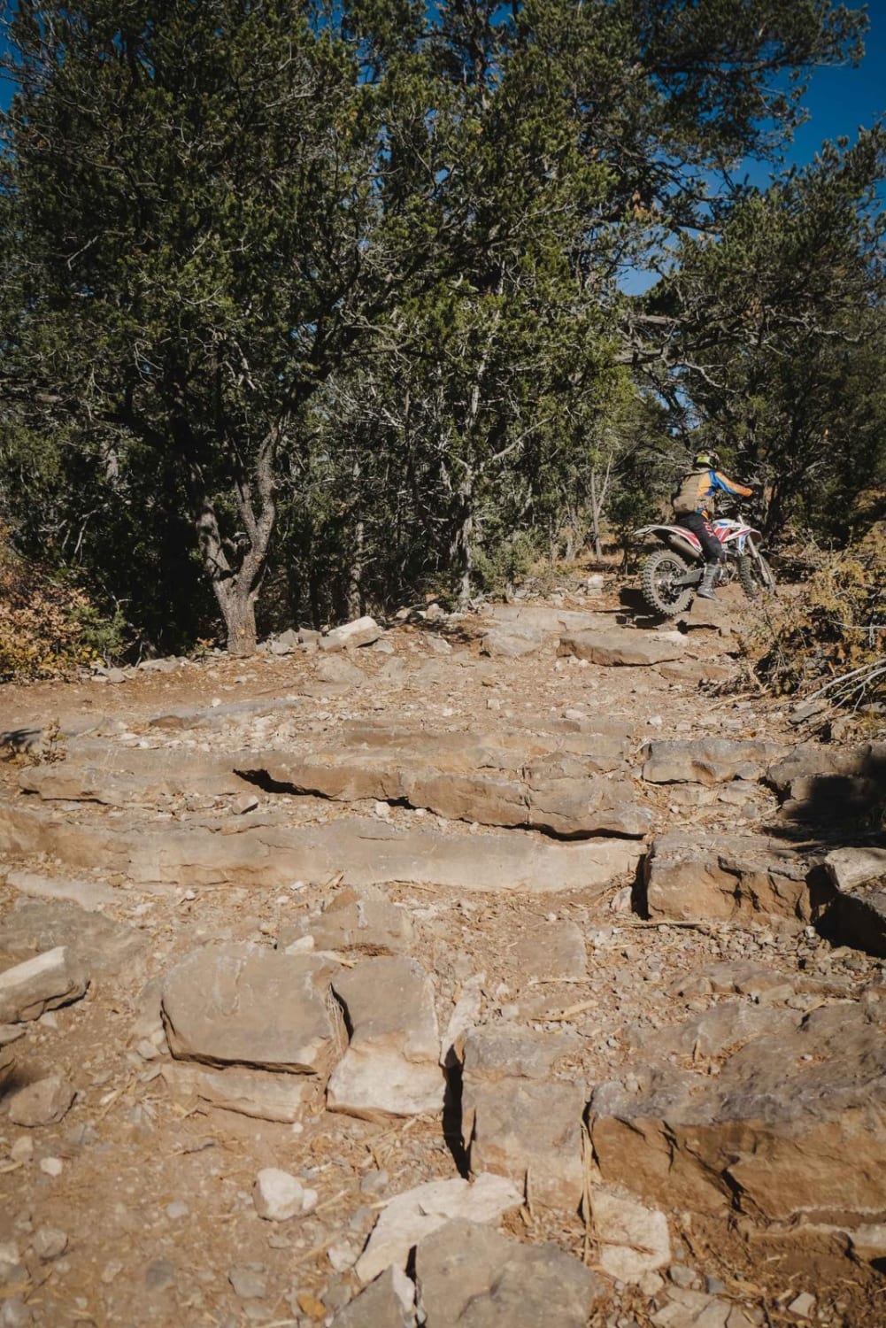
This trail can be completed in its entirety in any vehicle with low range. The last portion of the ascent requires low range, purely because there are a couple of washouts where control makes it much easier to traverse. Someone in a crossover would be capable of crossing these washes, but would likely damage their bumper given the momentum necessary to get up and out of them without low range.
Status Reports
Mt. Taylor Peak 4x4 Road can be accessed by the following ride types:
- High-Clearance 4x4
- SUV
- SxS (60")
- ATV (50")
- Dirt Bike
Mt. Taylor Peak 4x4 Road Map
Popular Trails

Cerro Pelon Base

Hill Road Pueblito

Mt. Taylor Peak 4x4 Road
The onX Offroad Difference
onX Offroad combines trail photos, descriptions, difficulty ratings, width restrictions, seasonality, and more in a user-friendly interface. Available on all devices, with offline access and full compatibility with CarPlay and Android Auto. Discover what you’re missing today!

