Tioughnioga Wildlife Management Area
Total Miles
3.4
Technical Rating
Best Time
Spring, Summer, Fall
Trail Type
Full-Width Road
Accessible By
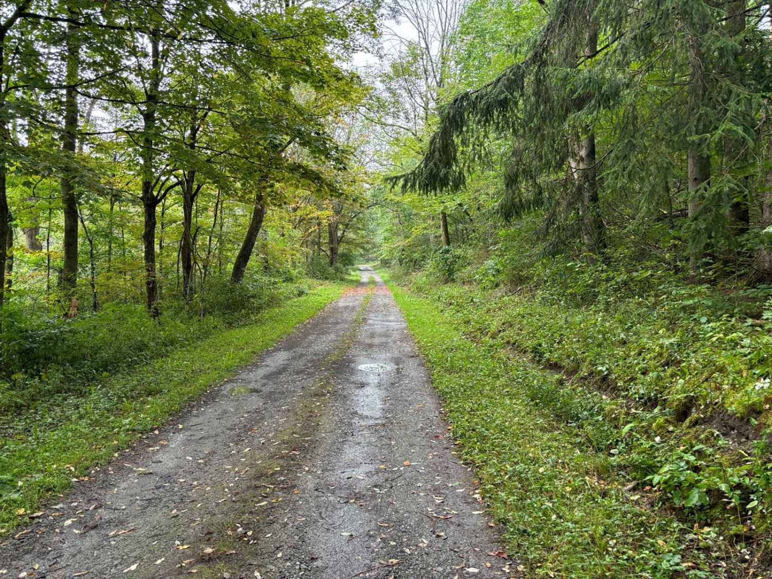
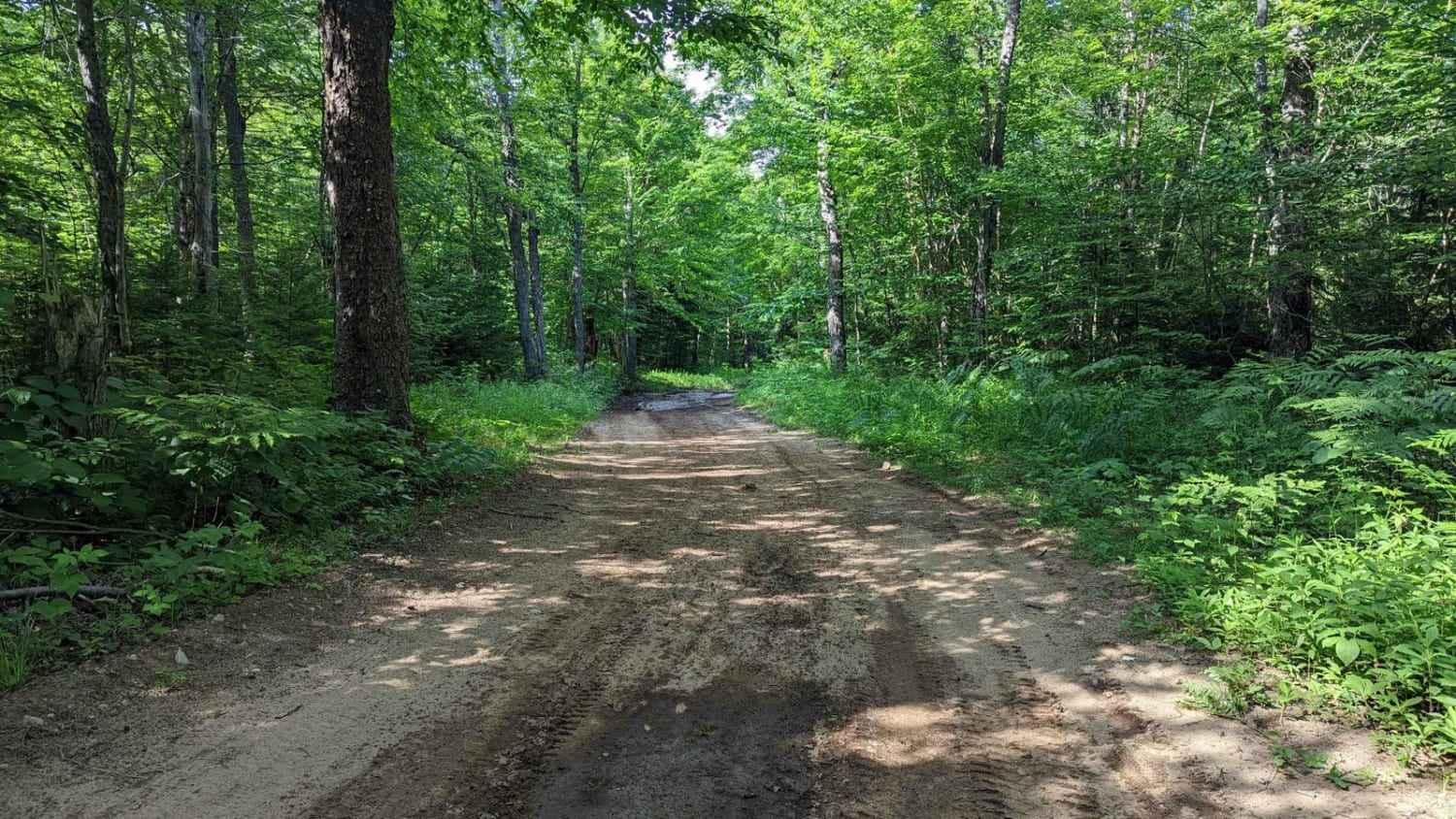
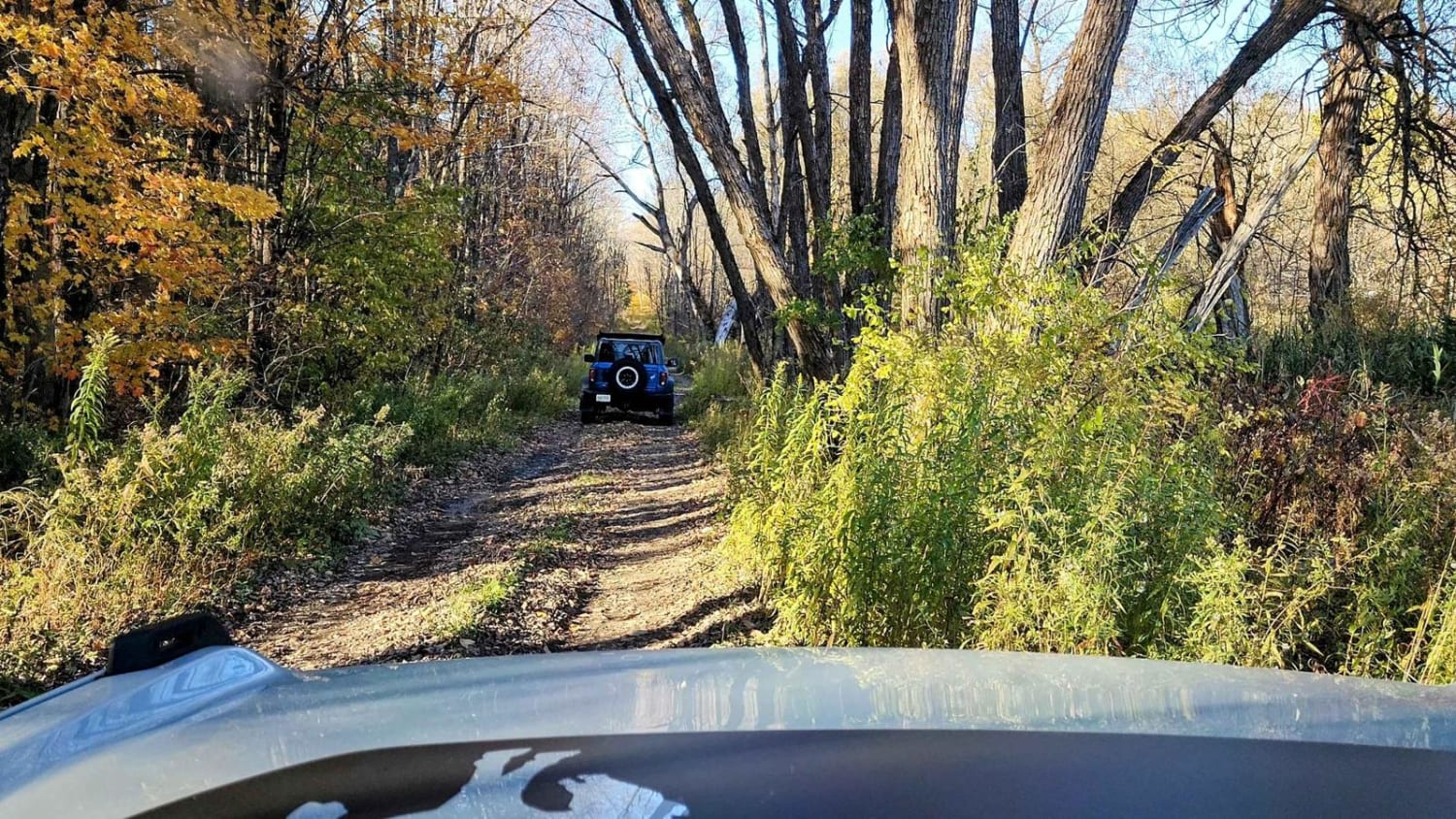
Trail Overview
This route covers seasonal roads with many sections that are washed out or have very low-hanging branches. The route is less maintained than many others in the area, making driving more interesting. The two-track feels like a forest road and while easily navigated, it is much tighter in spots than other state forest roads. If you are interested in a road that is a little rougher and want to feel like you are out in the forest you will enjoy this route.
Photos of Tioughnioga Wildlife Management Area

Difficulty
Several sections have large rocks ( < 12") and washouts (6"-12") which make it more interesting to navigate.
History
The primary purposes of Tioughnioga Wildlife Management Area (WMA) are for wildlife management, wildlife habitat management, and wildlife-dependent recreation. This WMA totals 3,744 acres and is located in southwestern Madison County between the villages of New Woodstock and Erieville, about six miles southeast of Cazenovia. Tioughnioga lies in the physiographic region of New York known as the Appalachian Highlands with the many hills and valleys of the region forming a rolling topography. The area is on a divide that separates the St. Lawrence River drainage from the Susquehanna River drainage and has an altitude ranging from 1,500 to 2,100 feet above sea level. Prior to 1935, the area was used for dairy farming. However, poor soils, harsh climate, and difficult economic conditions resulted in much of the area being purchased by the US Department of Agriculture as part of a resettlement program. The land was later transferred to New York State.
Status Reports

Popular Trails

Timmy's Hill Climb

Old Forge Backcountry 1
Hertz Road & Buck Hill Truck Trail
The onX Offroad Difference
onX Offroad combines trail photos, descriptions, difficulty ratings, width restrictions, seasonality, and more in a user-friendly interface. Available on all devices, with offline access and full compatibility with CarPlay and Android Auto. Discover what you’re missing today!