Bell Mountain to Rye Mountain
Total Miles
4.3
Technical Rating
Best Time
Summer, Fall
Trail Type
Full-Width Road
Accessible By
Trail Overview
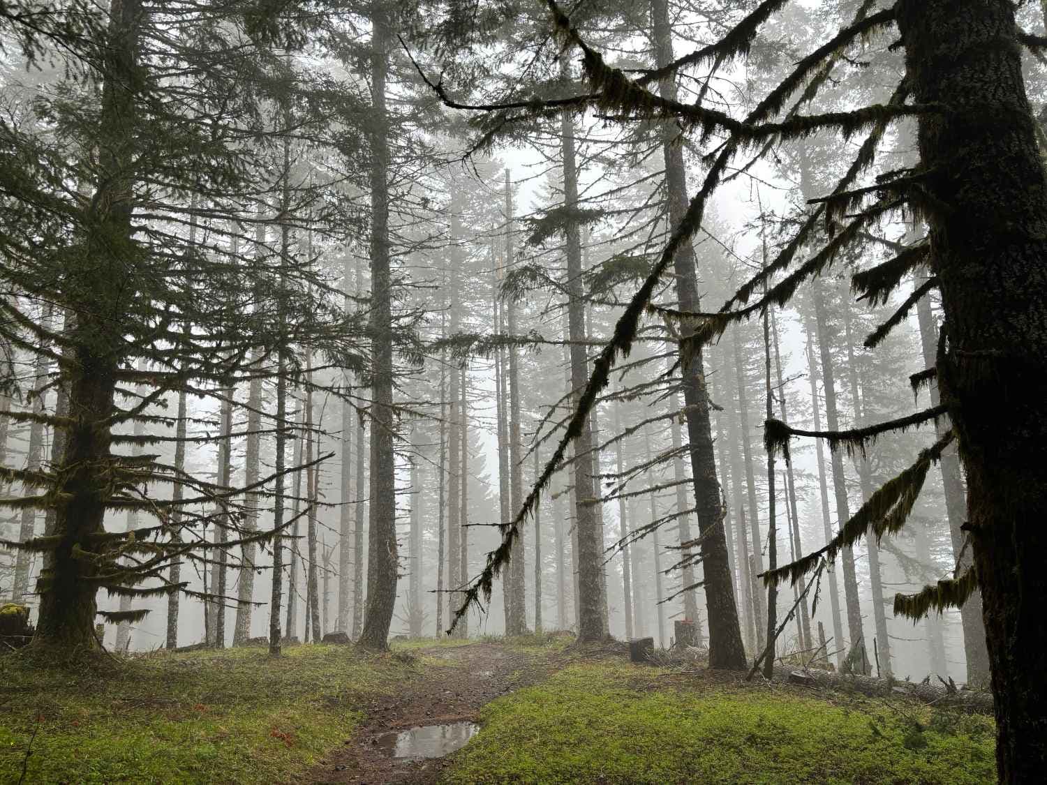
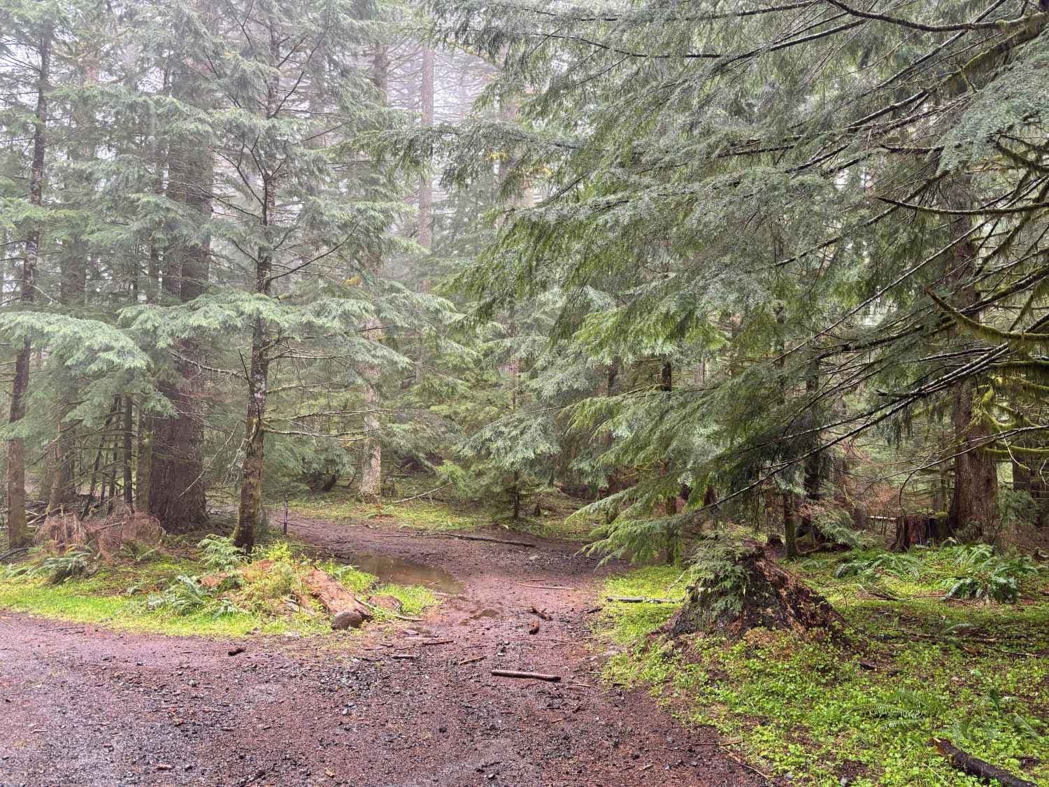
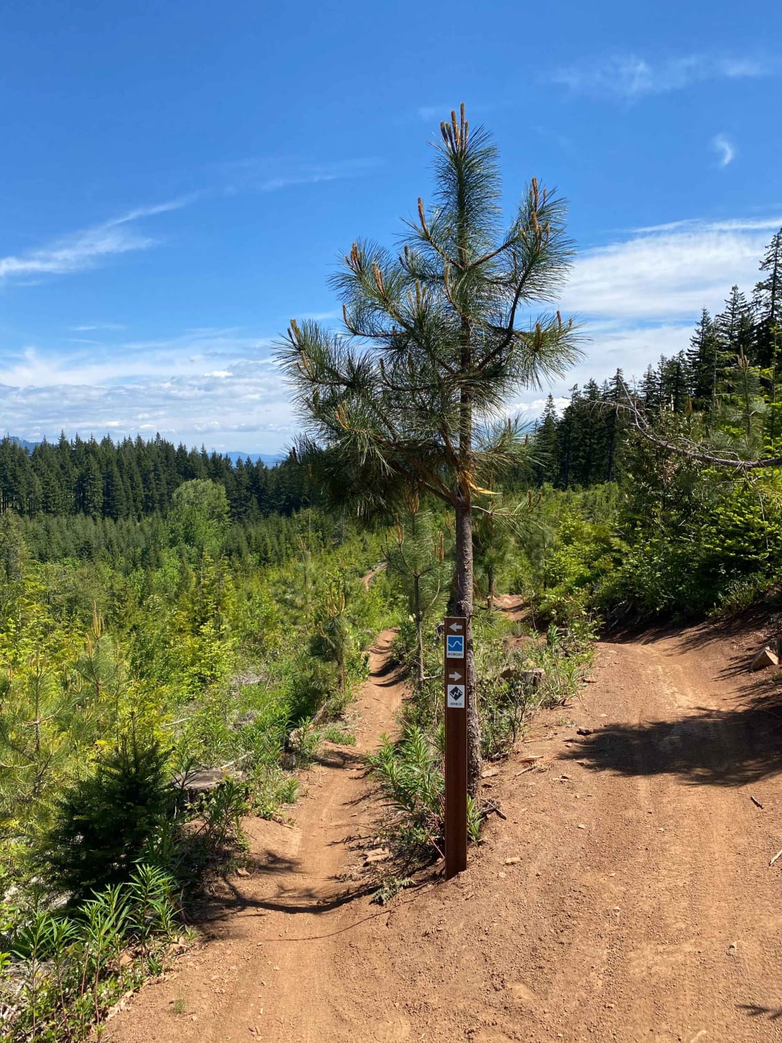
Bell Mountain is located in the Upper Nestucca OHV Area west of McMinnville, Oregon. Bell Mountain is 2,608 feet and once housed a fire lookout tower which was removed in 1951. You can park nearby and it's a short hike to the top of the area. Rye Mountain is due west of Bell Mountain and is 2,425 feet in elevation. It's generally an easy trail, although in the spring, there may be debris in the way. Like Bell Mountain, you can't drive to the very top of Rye Mountain, so park near the route and walk the Hop & Jump Motorcycle Trail to the top while looking out for traffic. Back on the trail, the route goes another 600 yards to the west. Although maps may show that Trail 4790 continues, there is actually a dead end. Proceed back and there is a spur that goes to Bald Mountain Road.
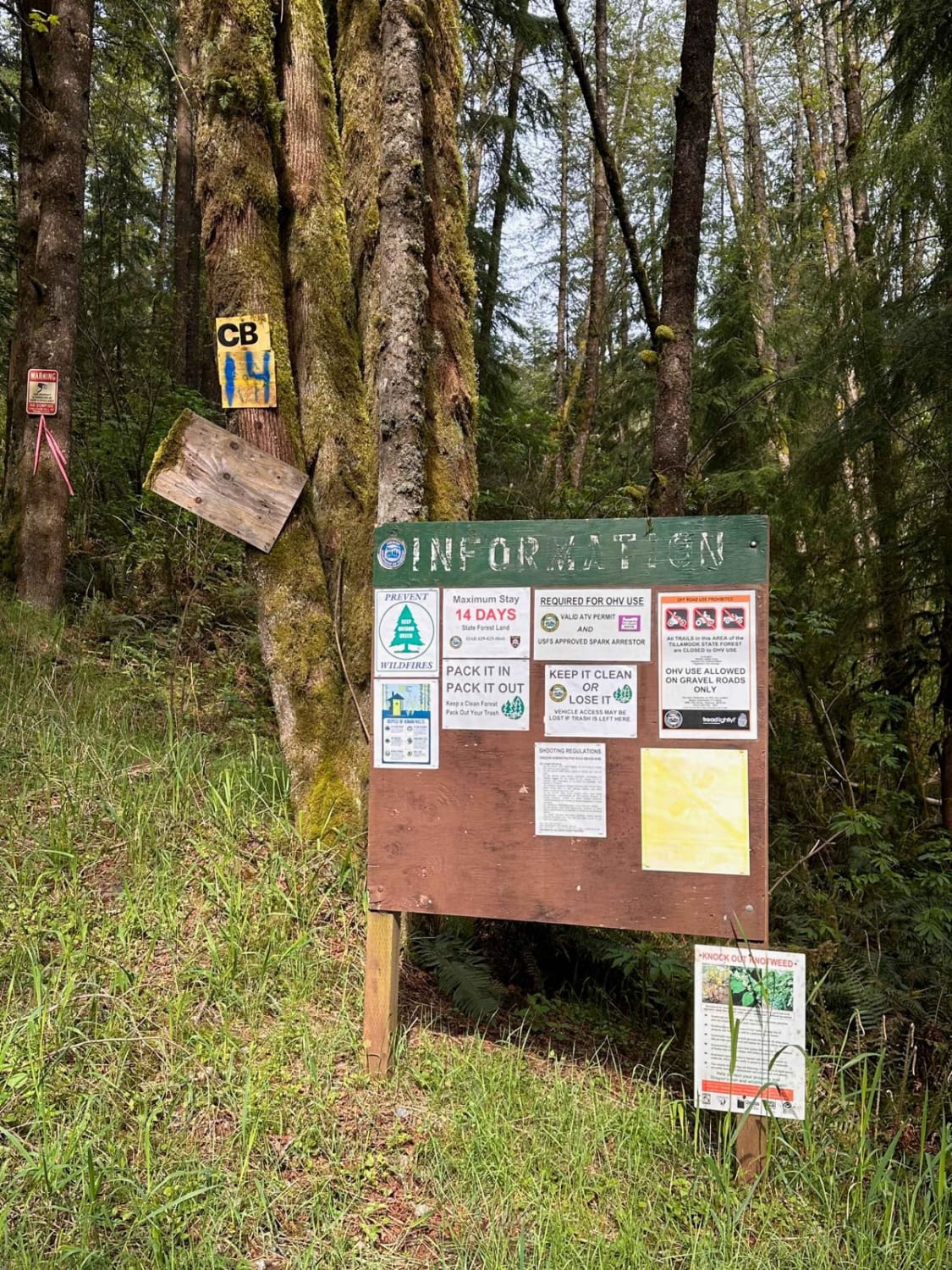
Photos of Bell Mountain to Rye Mountain
Difficulty
The route is a single-lane gravel road and there are steep grades, deep potholes, and drainage culverts to navigate. Low-clearance vehicles may have a difficult time.
Status Reports
Popular Trails
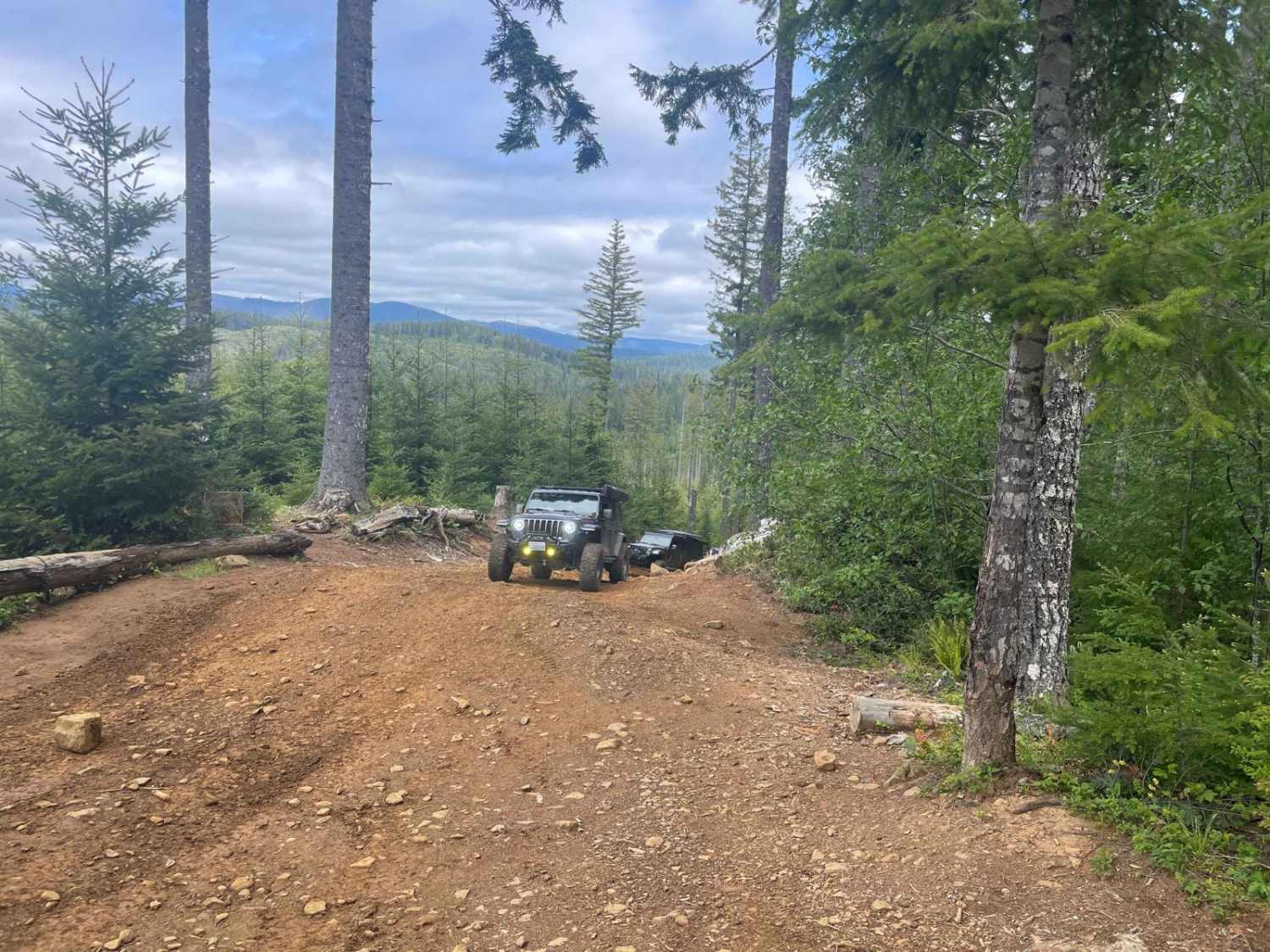
Firebreak 5 Jeep Badge of Honor Trail

Dovre Peak Bypass
Hood River OHV 160 to 140 to 133
The onX Offroad Difference
onX Offroad combines trail photos, descriptions, difficulty ratings, width restrictions, seasonality, and more in a user-friendly interface. Available on all devices, with offline access and full compatibility with CarPlay and Android Auto. Discover what you’re missing today!
