Mickey Alvord Wells Road
Total Miles
14.5
Technical Rating
Best Time
Spring, Summer, Fall
Trail Type
Full-Width Road
Accessible By
Trail Overview
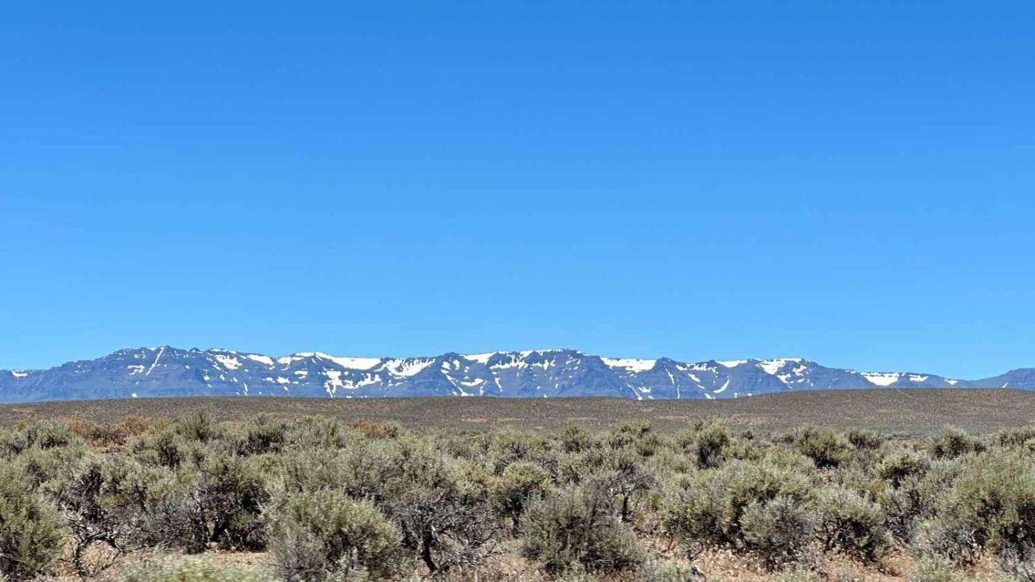
This connector road runs east-west and is a great way to get from the Alvord Desert to the lesser-visited Coyote Lake bed. The road itself is a soft silty material that lines the playa and is a double track, with plenty of room for passing. The views are expansive with the Steen Mountains always off in the distance. Stay the night on the Playa as the Alvord and southeastern Oregon is apart of the largest Dark Sky Sanctuary.
Photos of Mickey Alvord Wells Road
Difficulty
This is not a difficult road, it is a single lane with a lot of silt so just be cautious following others.
Mickey Alvord Wells Road can be accessed by the following ride types:
- High-Clearance 4x4
- SUV
- SxS (60")
- ATV (50")
- Dirt Bike
Mickey Alvord Wells Road Map
Popular Trails
Gobblers Knob
Pioneer Gulch #2149
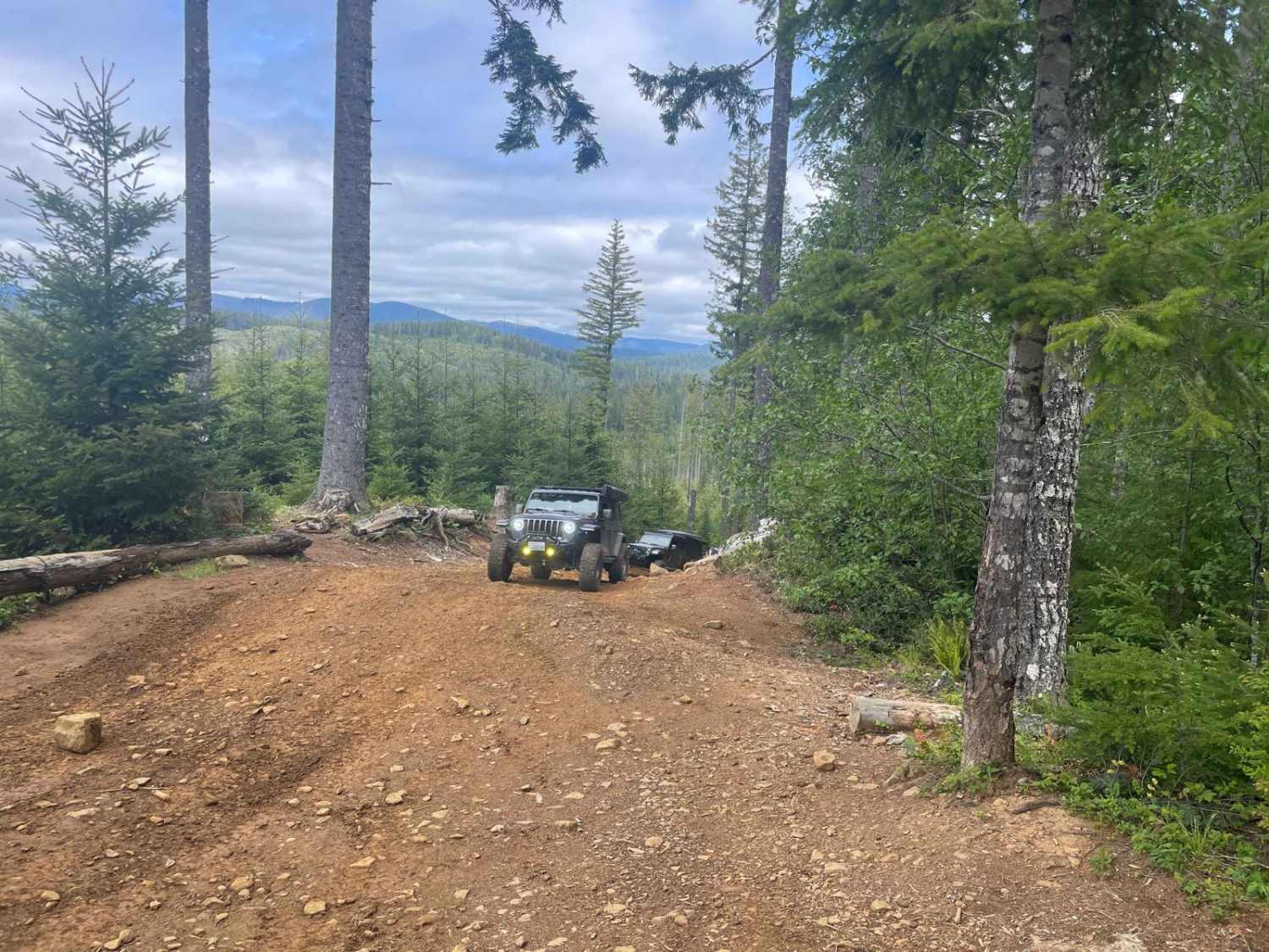
Firebreak 5 Jeep Badge of Honor Trail
The onX Offroad Difference
onX Offroad combines trail photos, descriptions, difficulty ratings, width restrictions, seasonality, and more in a user-friendly interface. Available on all devices, with offline access and full compatibility with CarPlay and Android Auto. Discover what you’re missing today!

