Road to Zigzag Mountain Hiking Trail
Total Miles
0.5
Technical Rating
Best Time
Spring, Summer, Fall, Winter
Trail Type
Full-Width Road
Accessible By
Trail Overview
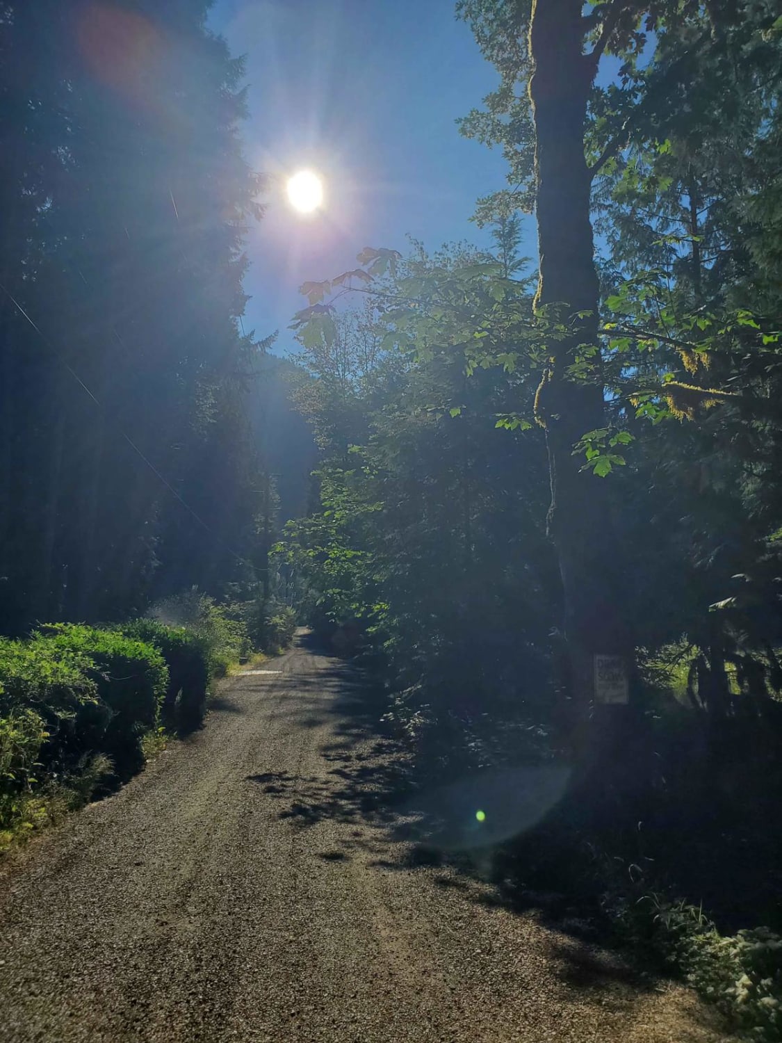
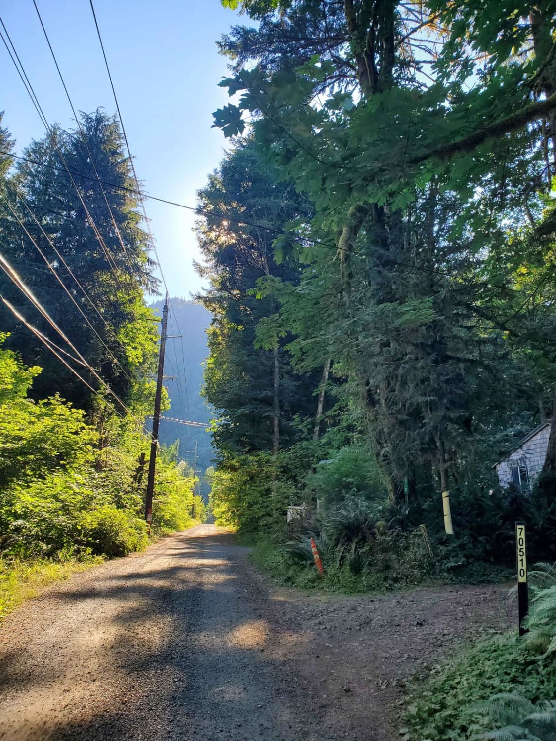
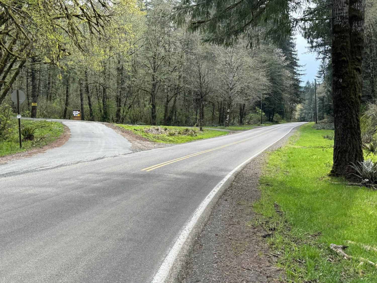
Turn down what seems to be a residential gravel road until the forest opens up in front of you. Feel the temperature drop as you enter the tree line and find yourself quickly at horse, hiking, and biking trails. To the left at the end of this road, you will find Zigzag Mountain Trailhead #775 and Road 19 Trail.
Photos of Road to Zigzag Mountain Hiking Trail
Difficulty
This road is one car wide with no passing spots for most of the length. It has gravel and dirt terrain.
Status Reports
Popular Trails
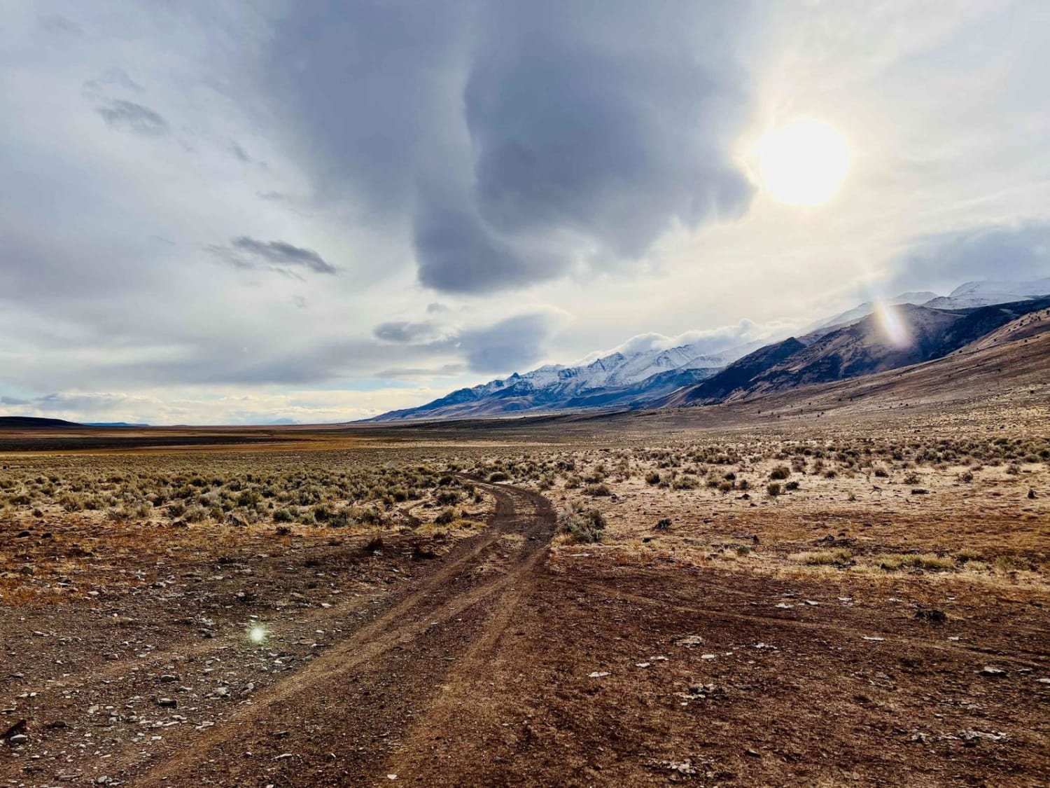
The Back Way to Mann Lake
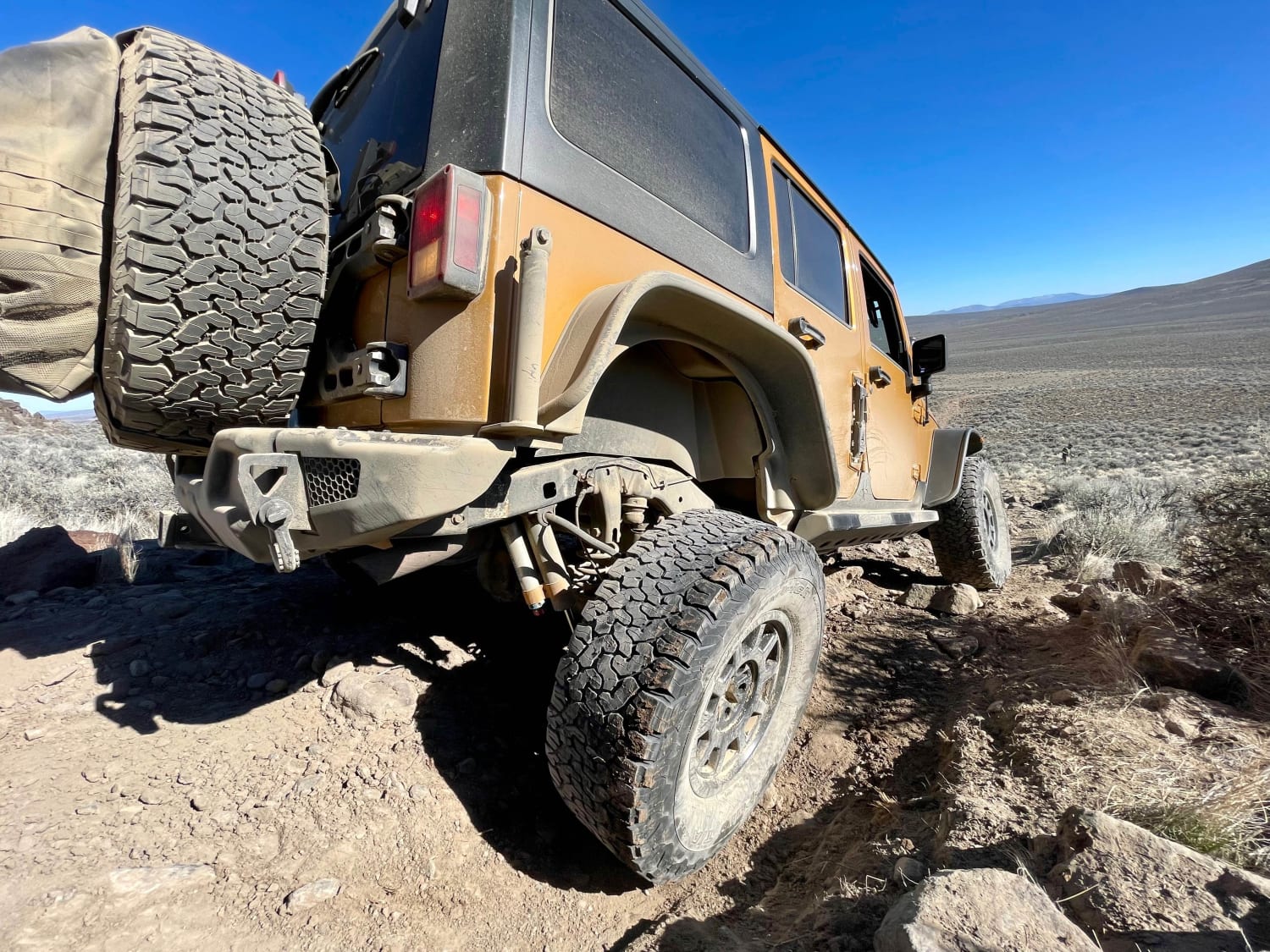
A-6 Crash Site
North Fork Trask River Road
Horse Creek Road
The onX Offroad Difference
onX Offroad combines trail photos, descriptions, difficulty ratings, width restrictions, seasonality, and more in a user-friendly interface. Available on all devices, with offline access and full compatibility with CarPlay and Android Auto. Discover what you’re missing today!
