Off-Road Trails in Oregon
Discover off-road trails in Oregon
Learn more about Tillamook Loop
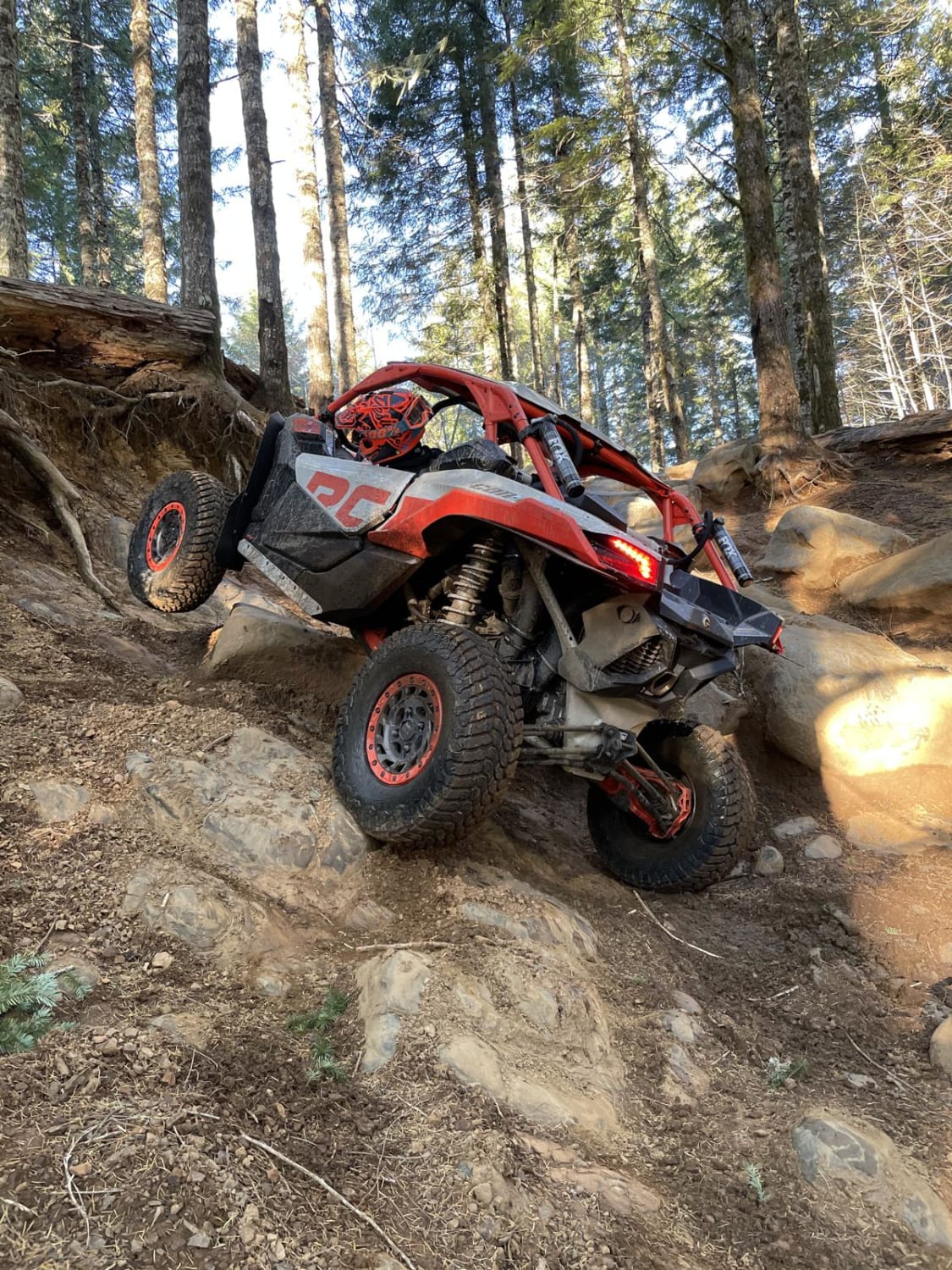
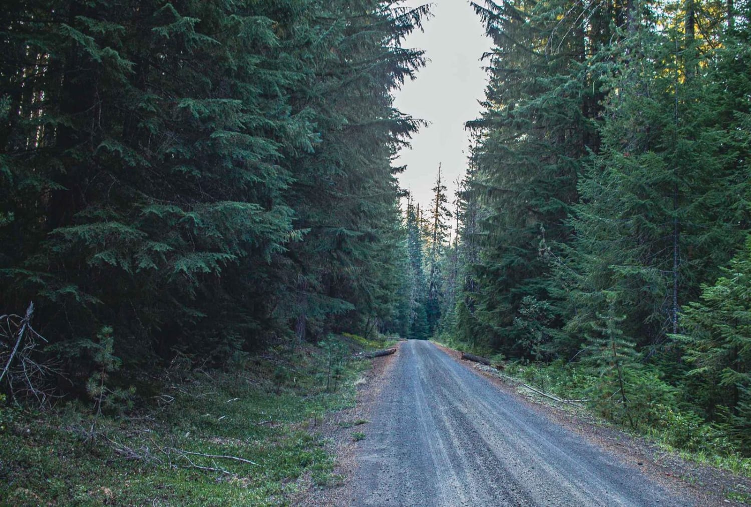
Tillamook Loop
Total Miles
42.0
Tech Rating
Difficult
Best Time
Spring, Summer, Fall
Learn more about Timber Creek
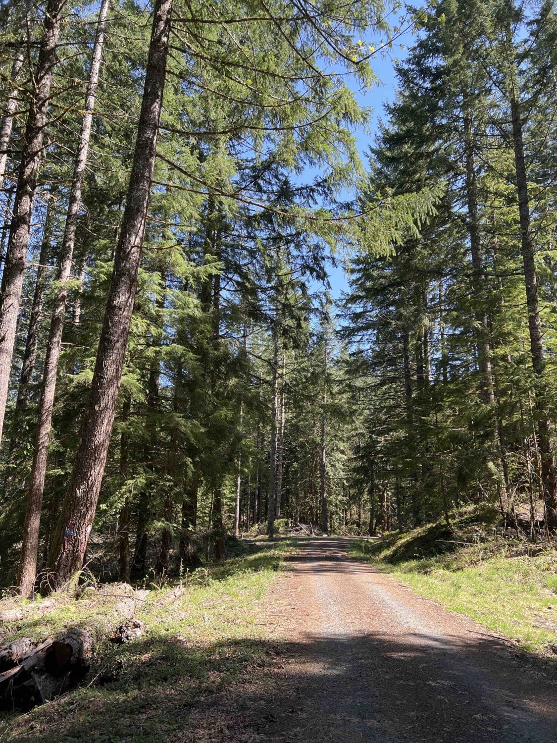
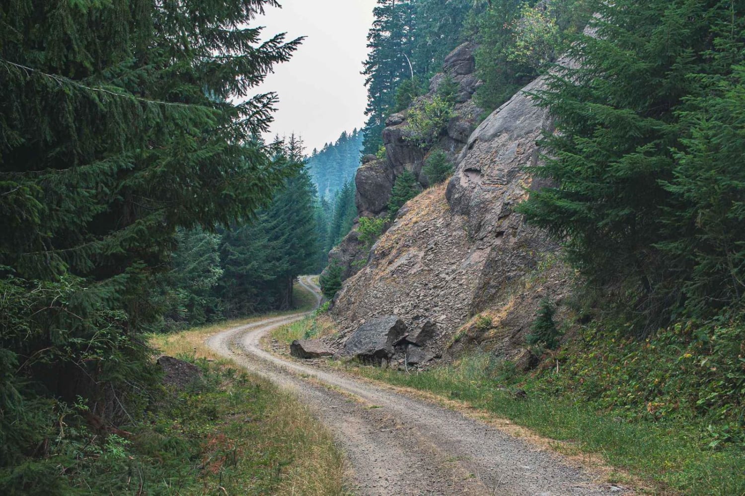
Timber Creek
Total Miles
6.0
Tech Rating
Easy
Best Time
Spring, Summer, Fall
Learn more about Timpanogas 2154
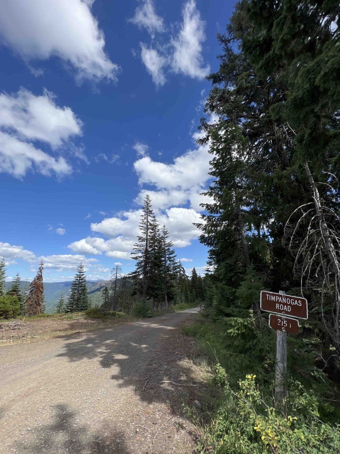
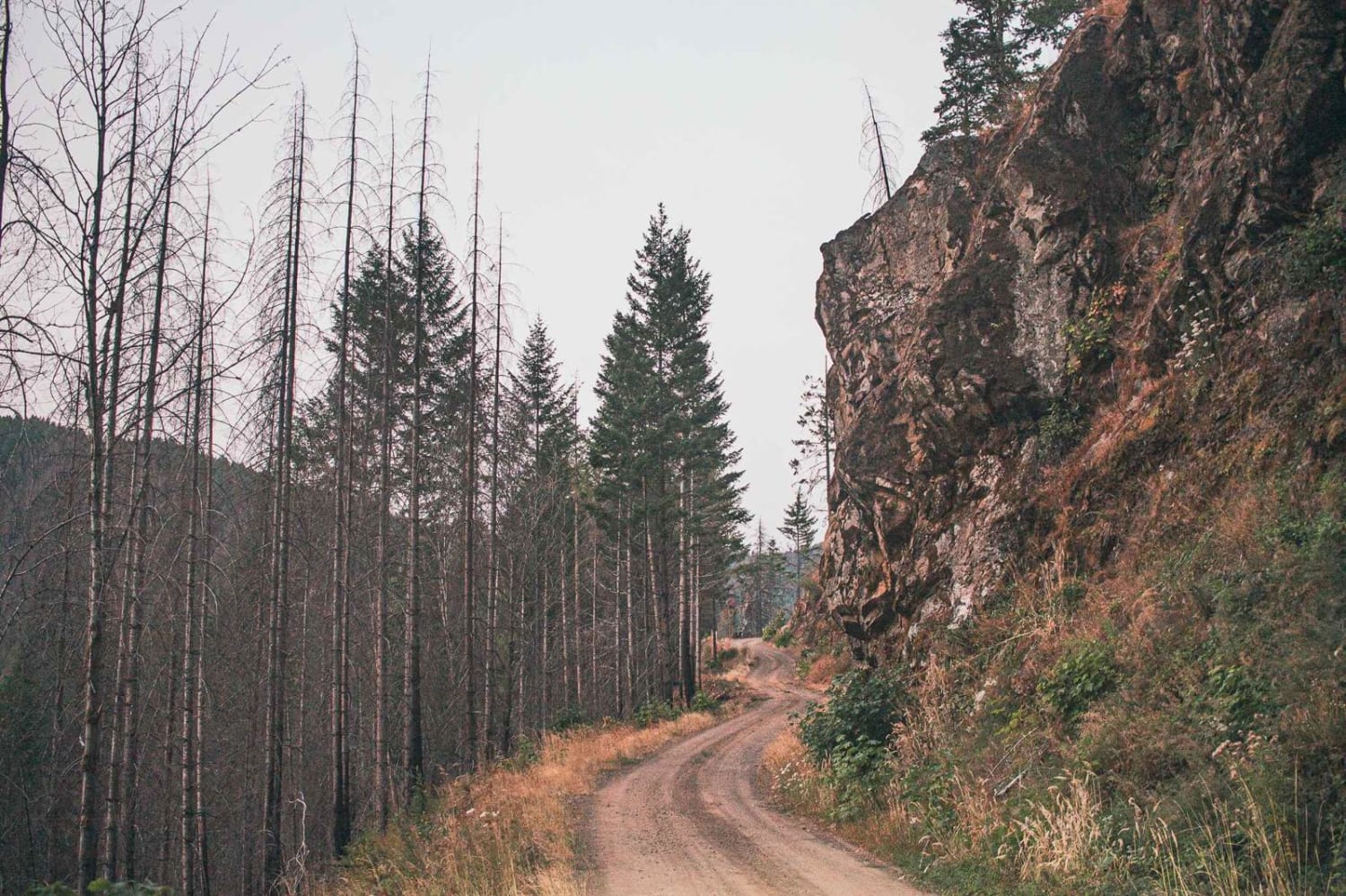
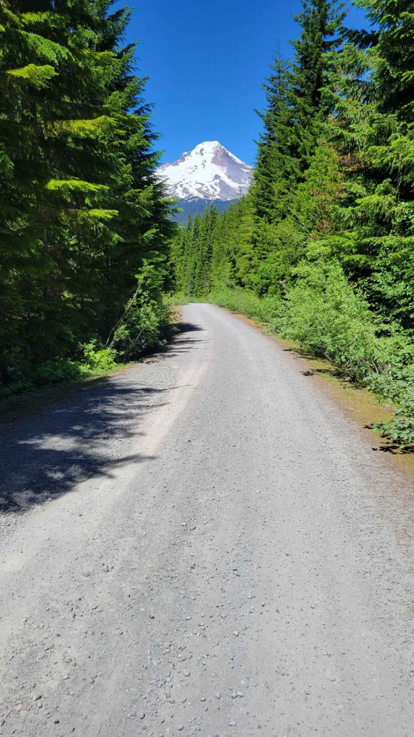
Timpanogas 2154
Total Miles
14.0
Tech Rating
Difficult
Best Time
Spring, Summer, Fall
Learn more about Tipton to South Fork
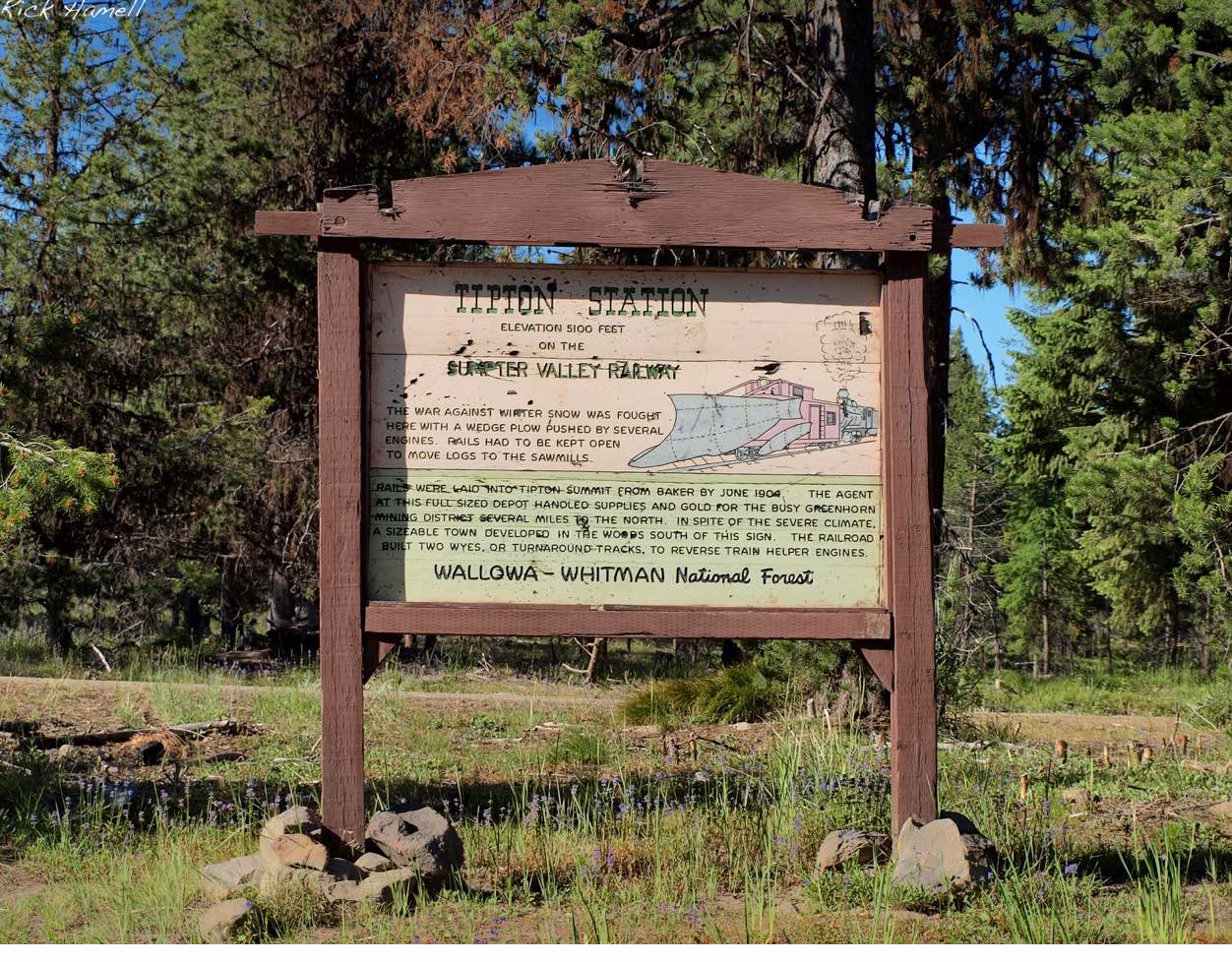
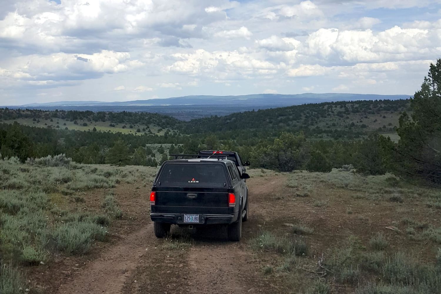
Tipton to South Fork
Total Miles
51.7
Tech Rating
Moderate
Best Time
Spring, Summer, Fall, Winter
Learn more about Trail #34
Trail #34
Total Miles
1.1
Tech Rating
Moderate
Best Time
Spring, Summer, Fall
Learn more about Trail 20 - Hoodraiser
Trail 20 - Hoodraiser
Total Miles
2.6
Tech Rating
Moderate
Best Time
Spring, Summer, Fall
Learn more about Trail 21 The Chute
Trail 21 The Chute
Total Miles
1.0
Tech Rating
Moderate
Best Time
Spring, Summer, Fall
Learn more about Trail 45 Log Jam - Leg 1
Trail 45 Log Jam - Leg 1
Total Miles
2.3
Tech Rating
Moderate
Best Time
Spring, Summer, Fall
Learn more about Trail 45 Log Jam - Leg 2
Trail 45 Log Jam - Leg 2
Total Miles
1.5
Tech Rating
Moderate
Best Time
Fall, Summer, Spring
Learn more about Trail 800
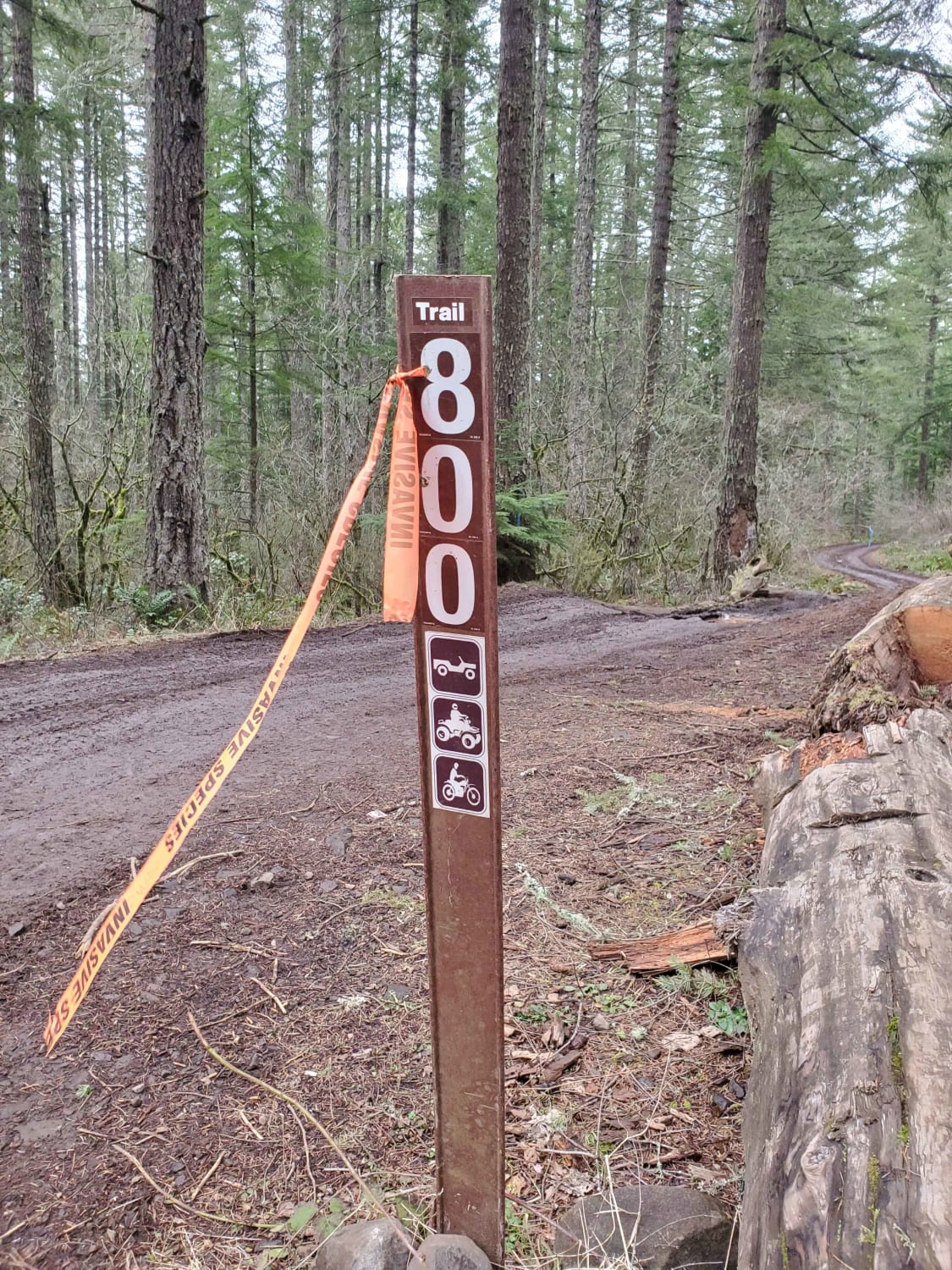
Trail 800
Total Miles
1.1
Tech Rating
Moderate
Best Time
Spring, Summer, Fall, Winter
Learn more about Trap Creek Loop
Trap Creek Loop
Total Miles
5.6
Tech Rating
Easy
Best Time
Spring, Summer, Fall
Learn more about Trapper Creek
Trapper Creek
Total Miles
6.8
Tech Rating
Easy
Best Time
Spring, Summer, Fall
Learn more about Trillium Lake Loop
Trillium Lake Loop
Total Miles
6.8
Tech Rating
Easy
Best Time
Fall, Summer
Learn more about Triple Spring Obsidian Mine
Triple Spring Obsidian Mine
Total Miles
0.9
Tech Rating
Moderate
Best Time
Summer, Fall
Learn more about Trout Creek Butte Summit
Trout Creek Butte Summit
Total Miles
4.9
Tech Rating
Easy
Best Time
Spring, Summer, Fall
Learn more about Tumalo Reservoir to Pickers Paradise
Tumalo Reservoir to Pickers Paradise
Total Miles
6.2
Tech Rating
Easy
Best Time
Spring, Summer, Fall
Learn more about Twin Lakes
Twin Lakes
Total Miles
4.5
Tech Rating
Easy
Best Time
Spring, Summer, Fall
Learn more about Upper Cold Spring
Upper Cold Spring
Total Miles
2.6
Tech Rating
Easy
Best Time
Fall, Summer
The onX Offroad Difference
onX Offroad combines trail photos, descriptions, difficulty ratings, width restrictions, seasonality, and more in a user-friendly interface. Available on all devices, with offline access and full compatibility with CarPlay and Android Auto. Discover what you’re missing today!