Donnelly WMA PT.6
Total Miles
2.3
Technical Rating
Best Time
Spring, Summer, Fall, Winter
Trail Type
Full-Width Road
Accessible By
Trail Overview
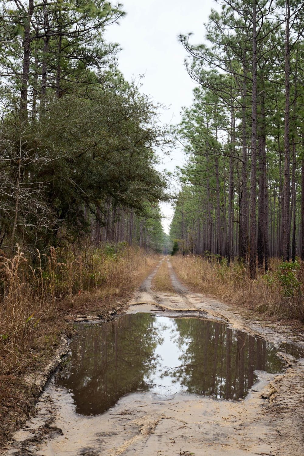
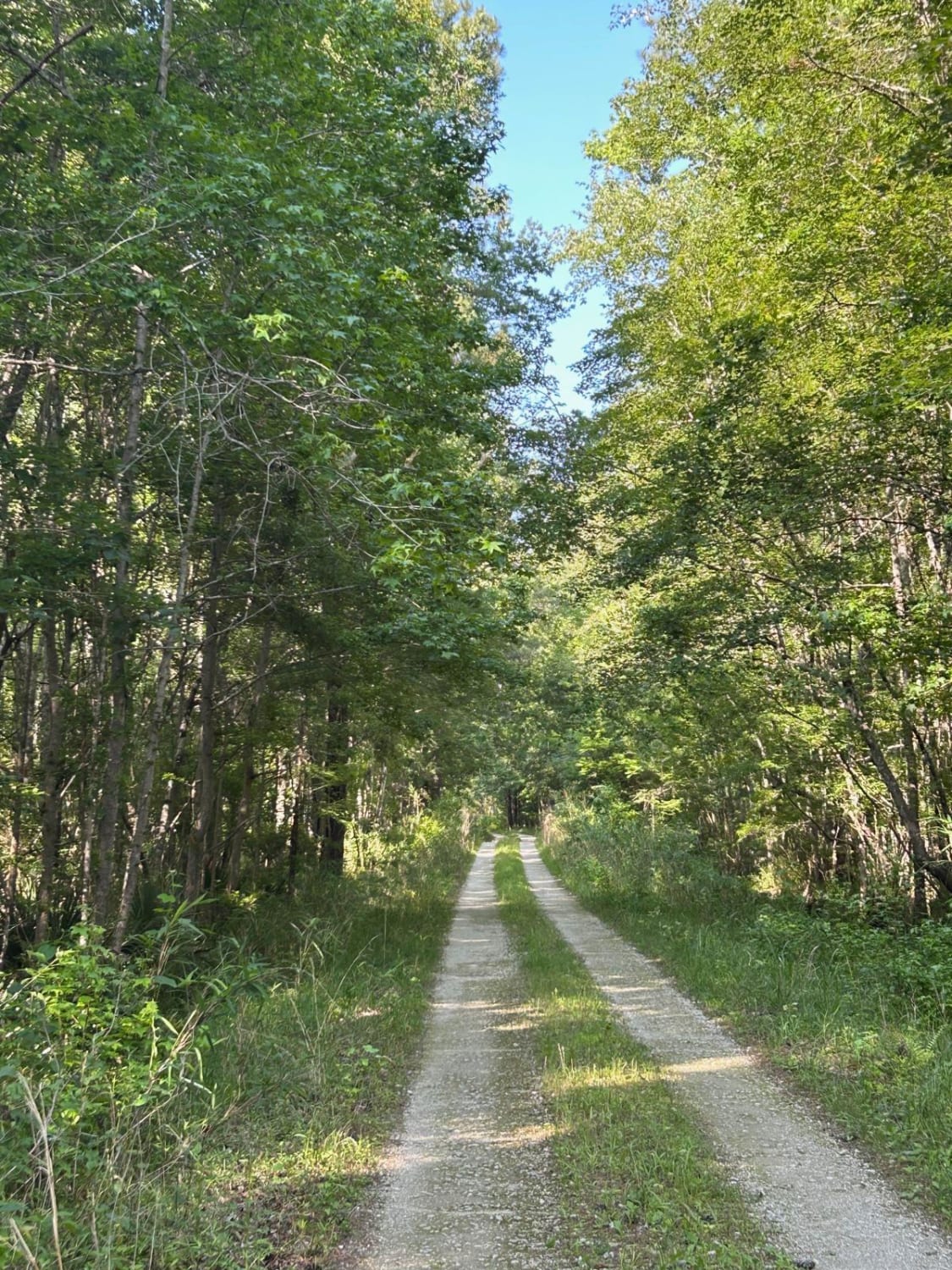
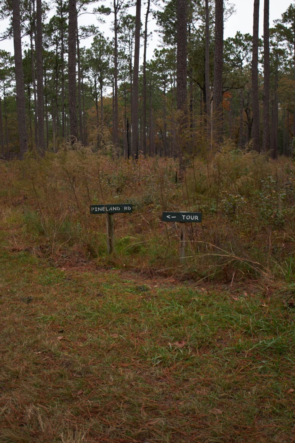
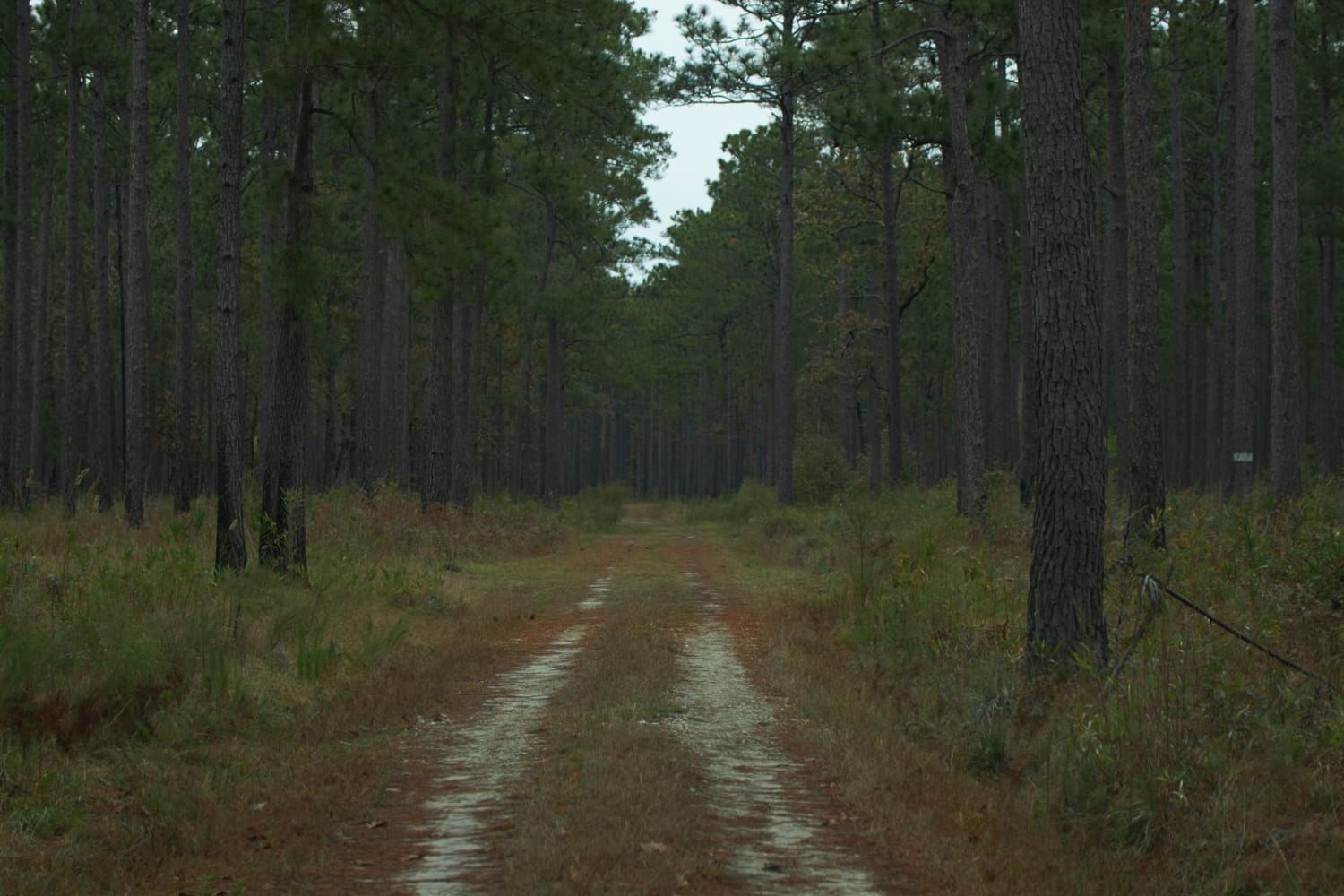
These routes add to the existing Donnelly WMA route to complete the mapping of the entire Wildlife Management Area. Donnelly Wildlife Management Area is located in the low county of South Carolina. Like the nearby Bear Island WMA; Donnelly WMA is home to many migratory bird species that can be observed on the various dikes. During select times of the year duck, dove, quail and other fowl hunting do occur on the property. More information on these activities and potential closures can be found on the SCDNR Website. The route through the WMA is a hard-packed gravel road with little to no elevation gain. Note that after heavy rains the road does get slippery and difficult to navigate in some areas. Most Areas are open year-round with some being closed from November to February for migratory birds nesting.
Photos of Donnelly WMA PT.6
Difficulty
Road can be difficult after heavy rains!
Status Reports
Donnelly WMA PT.6 can be accessed by the following ride types:
- High-Clearance 4x4
- SUV
- SxS (60")
- ATV (50")
- Dirt Bike
Donnelly WMA PT.6 Map
Popular Trails

Secret Passage

French Quarter - FSR229

Horseshoe Loop

Wythewood Rd - FSR 238
The onX Offroad Difference
onX Offroad combines trail photos, descriptions, difficulty ratings, width restrictions, seasonality, and more in a user-friendly interface. Available on all devices, with offline access and full compatibility with CarPlay and Android Auto. Discover what you’re missing today!

