Off-Road Trails in Texas

Discover off-road trails in Texas
Trail Length
Best Time of Year
Sort By
We can’t find any trails
Learn more about Davy Crockett National Forest Route
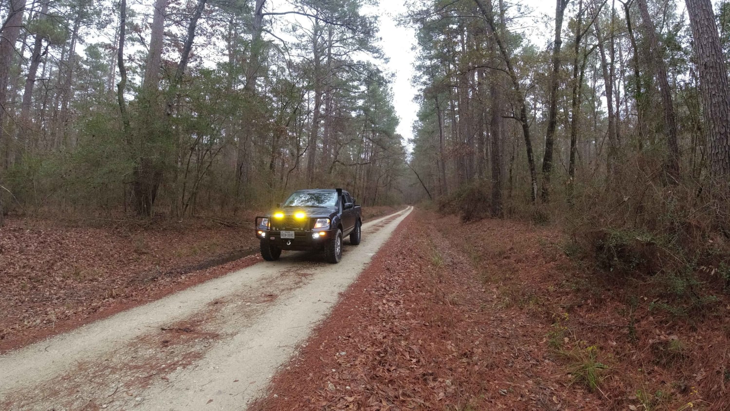
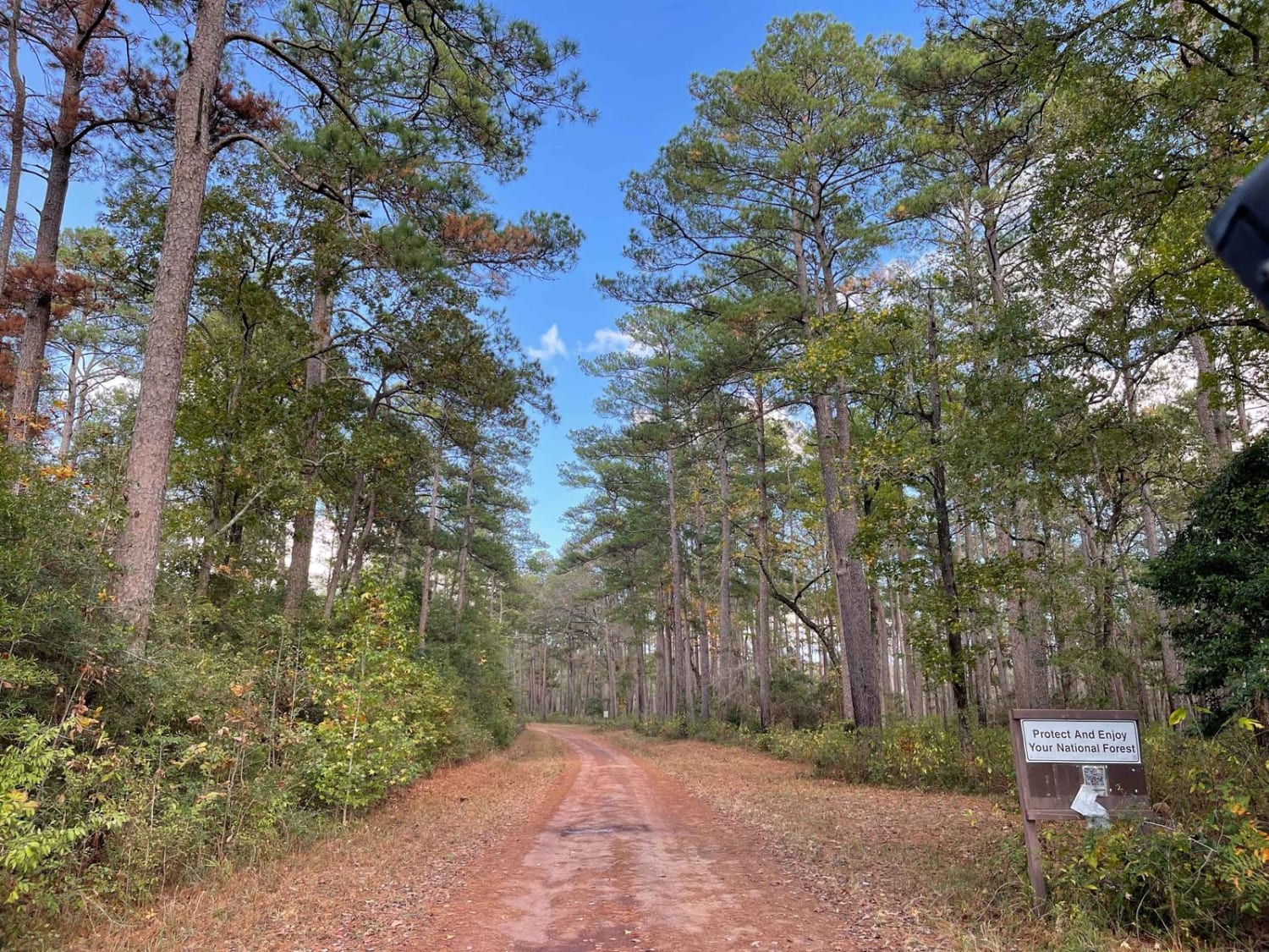
Davy Crockett National Forest Route
Total Miles
42.2
Tech Rating
Easy
Best Time
Winter, Summer, Fall, Spring
Learn more about Deep Creek

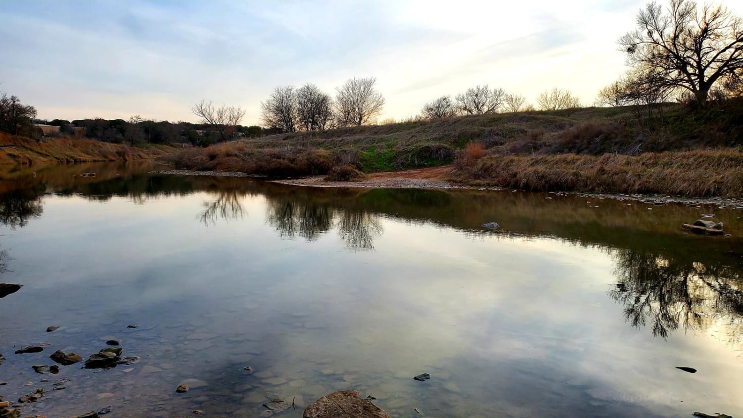
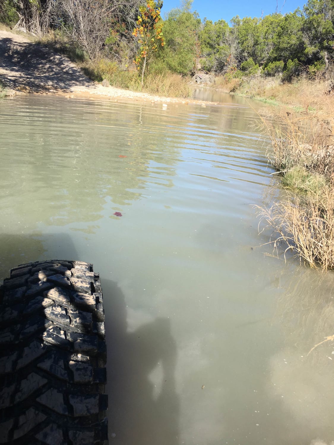
Deep Creek
Total Miles
0.9
Tech Rating
Easy
Best Time
Spring, Summer, Fall, Winter
Learn more about Devils Draw - Harder Section

Devils Draw - Harder Section
Total Miles
0.2
Tech Rating
Moderate
Best Time
Spring, Fall
Learn more about Devils Draw #7
Devils Draw #7
Total Miles
0.3
Tech Rating
Easy
Best Time
Spring, Fall
Learn more about Devils River State Natural Area
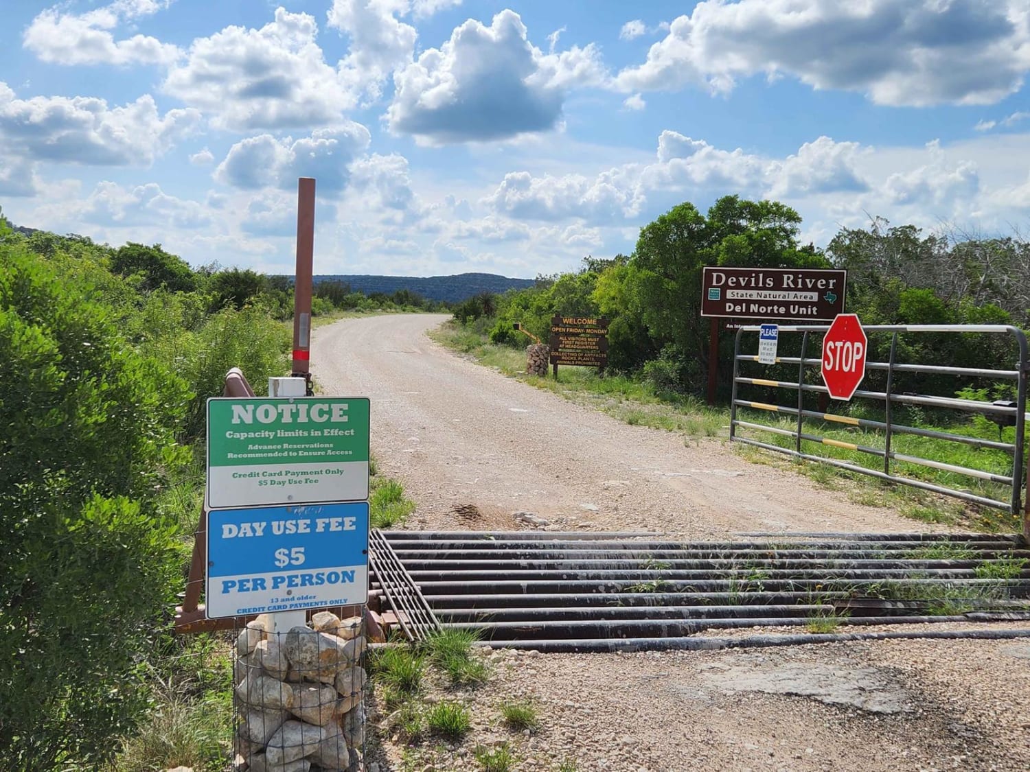
Devils River State Natural Area
Total Miles
7.0
Tech Rating
Easy
Best Time
Spring, Summer, Fall, Winter
Learn more about Dolan Creek Road to DRSNA
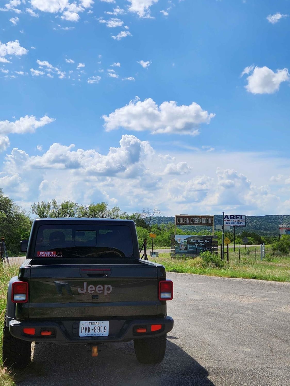
Dolan Creek Road to DRSNA
Total Miles
18.5
Tech Rating
Easy
Best Time
Spring, Summer, Fall, Winter
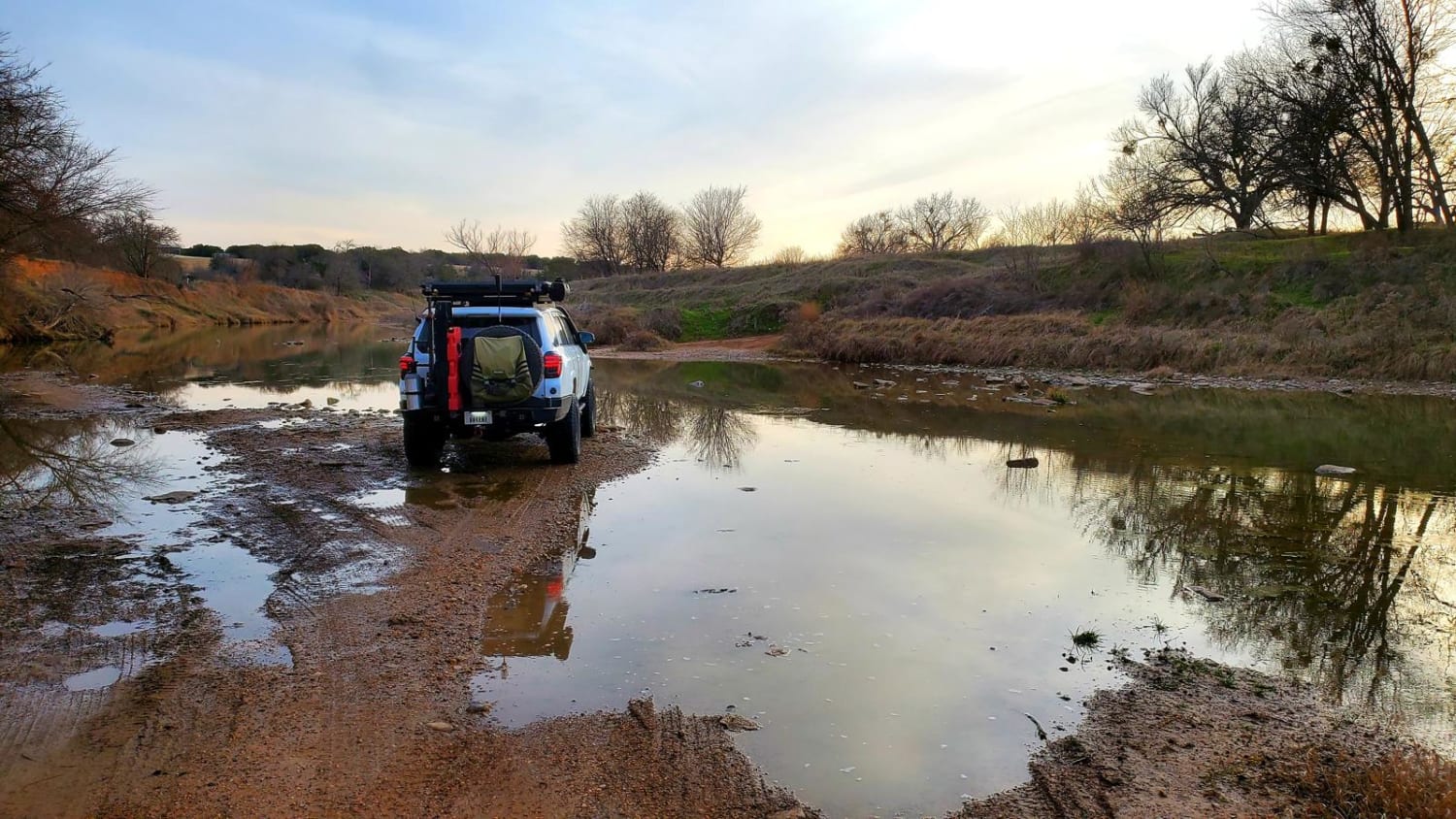
Learn more about Double Ford
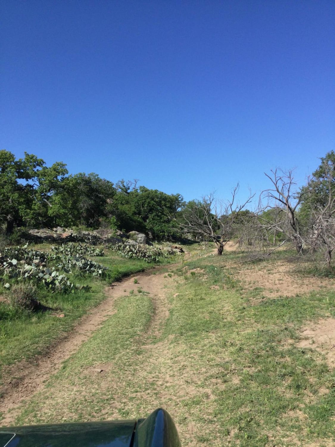
Double Ford
Total Miles
22.0
Tech Rating
Easy
Best Time
Spring, Summer, Fall, Winter
Learn more about Drop Zone

Drop Zone
Total Miles
0.2
Tech Rating
Difficult
Best Time
Spring, Summer, Fall, Winter
Learn more about East Rise Point Trail

East Rise Point Trail
Total Miles
0.6
Tech Rating
Easy
Best Time
Spring, Summer, Fall, Winter
Learn more about Easter Eggs #16
Easter Eggs #16
Total Miles
0.2
Tech Rating
Easy
Best Time
Spring, Fall
Learn more about Easy Street
Easy Street
Total Miles
0.3
Tech Rating
Easy
Best Time
Spring, Summer, Fall, Winter
Learn more about Enter Mars

Enter Mars
Total Miles
0.2
Tech Rating
Moderate
Best Time
Spring, Summer, Fall, Winter
Learn more about FENCELINE #11
FENCELINE #11
Total Miles
0.4
Tech Rating
Moderate
Best Time
Spring, Fall
Learn more about First Camp Trail

First Camp Trail
Total Miles
0.2
Tech Rating
Easy
Best Time
Spring, Summer, Fall, Winter
Learn more about FM TRO
FM TRO
Total Miles
2.1
Tech Rating
Moderate
Best Time
Spring, Fall, Summer, Winter
Learn more about FSR - 220
FSR - 220
Total Miles
2.0
Tech Rating
Easy
Best Time
Spring, Fall, Winter
Learn more about FSR 568 Hunters Camps

FSR 568 Hunters Camps
Total Miles
5.4
Tech Rating
Easy
Best Time
Spring, Summer, Fall, Winter
Learn more about Gateway to Red Sands
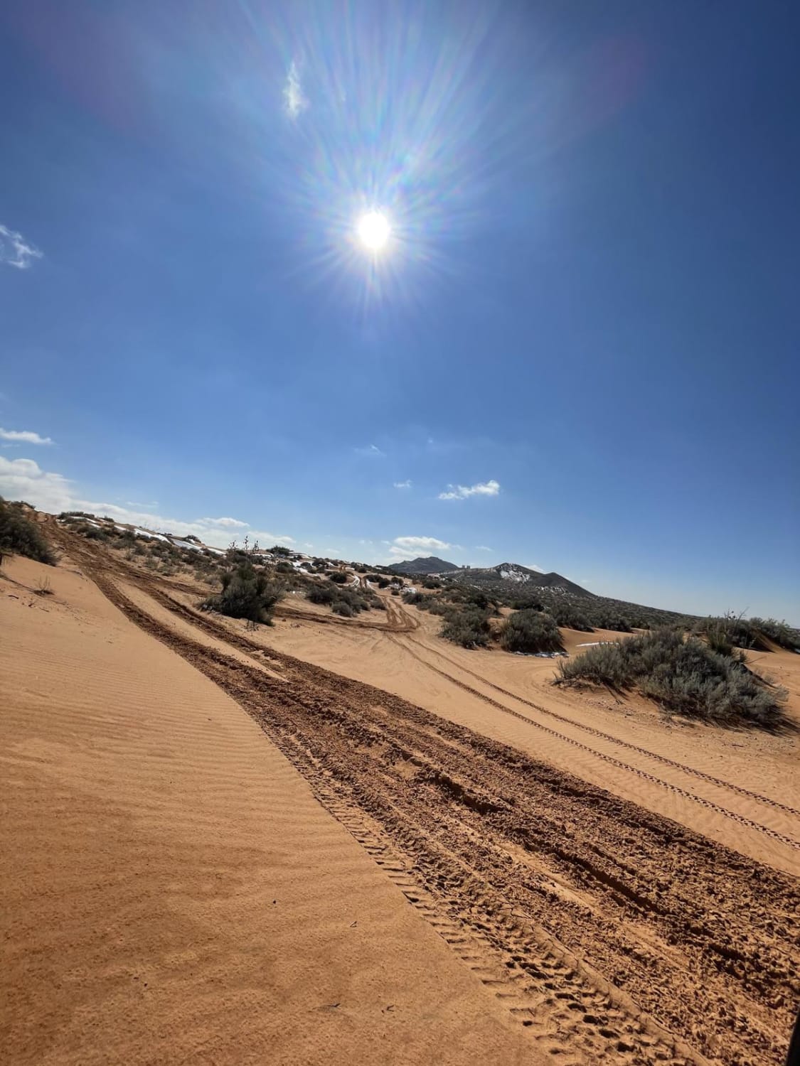
Gateway to Red Sands
Total Miles
3.2
Tech Rating
Easy
Best Time
Fall
Learn more about Glenn Springs Road
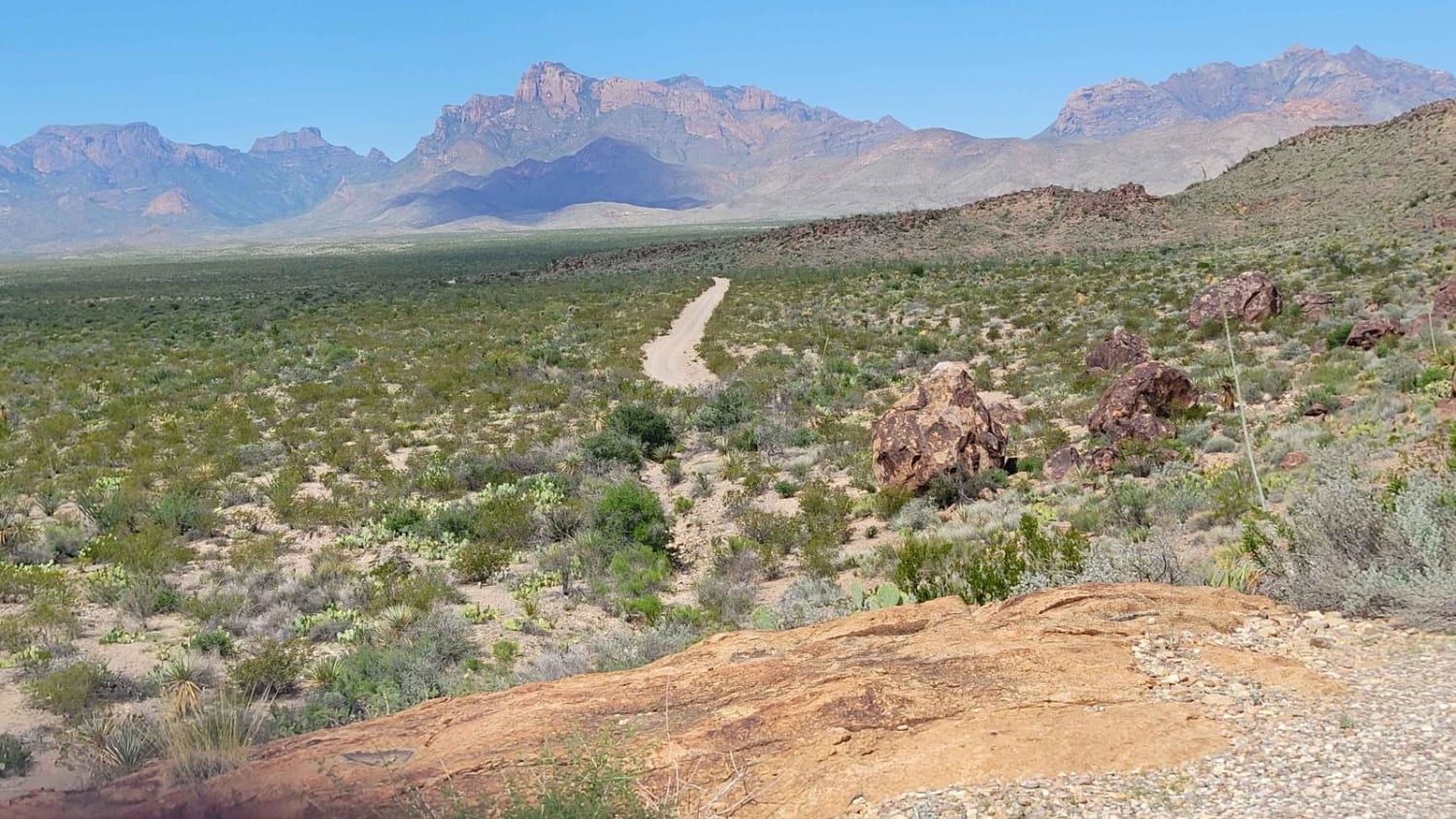
Glenn Springs Road
Total Miles
15.7
Tech Rating
Easy
Best Time
Spring, Summer, Fall, Winter
Learn more about Goldthwaite Gallop
Goldthwaite Gallop
Total Miles
20.5
Tech Rating
Easy
Best Time
Spring, Summer, Fall, Winter
The onX Offroad Difference
onX Offroad combines trail photos, descriptions, difficulty ratings, width restrictions, seasonality, and more in a user-friendly interface. Available on all devices, with offline access and full compatibility with CarPlay and Android Auto. Discover what you’re missing today!