Alta Dry Fork (FR 70198)
Total Miles
2.0
Technical Rating
Best Time
Summer, Fall
Trail Type
High-Clearance 4x4 Trail
Accessible By
Trail Overview
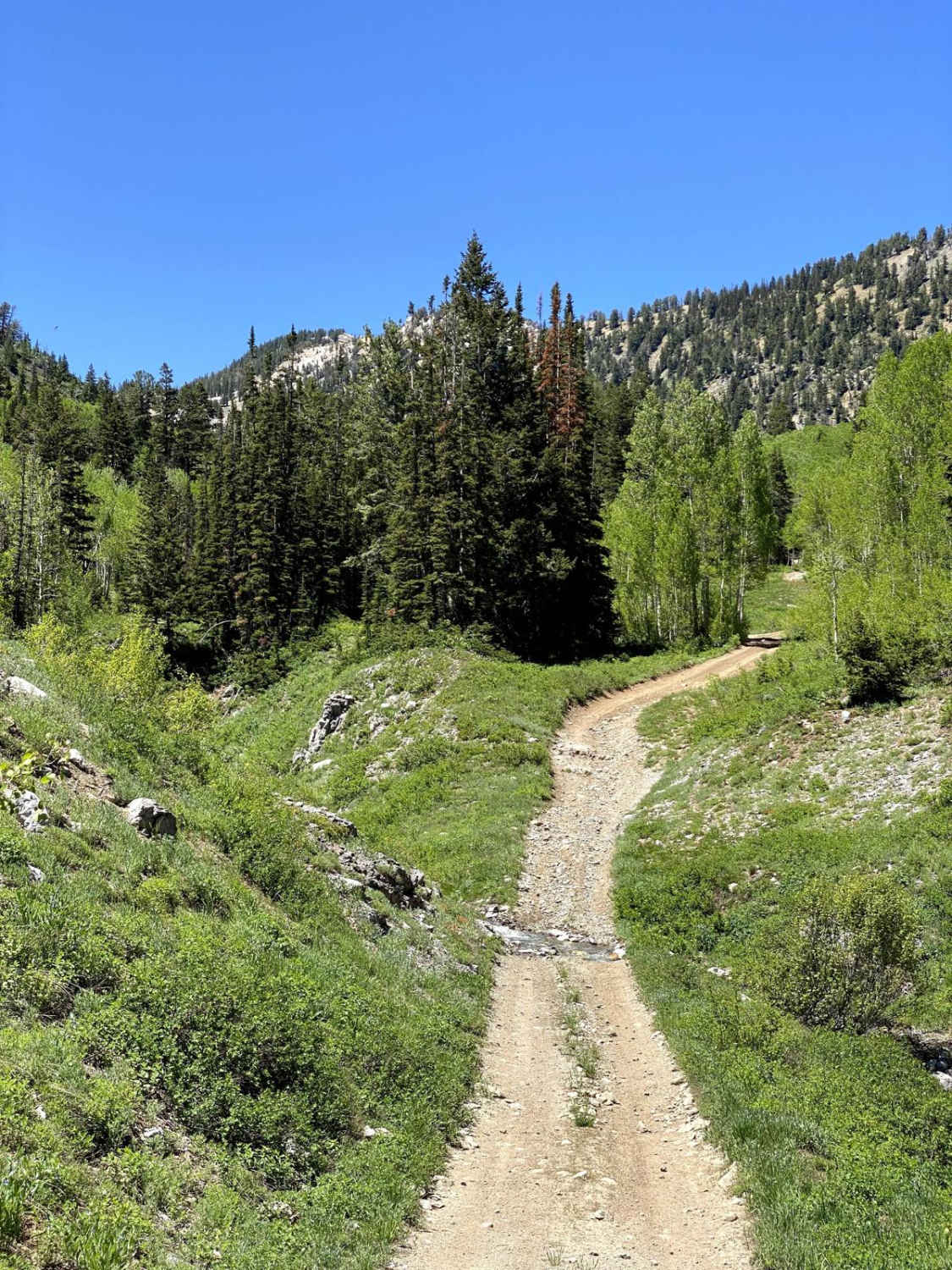
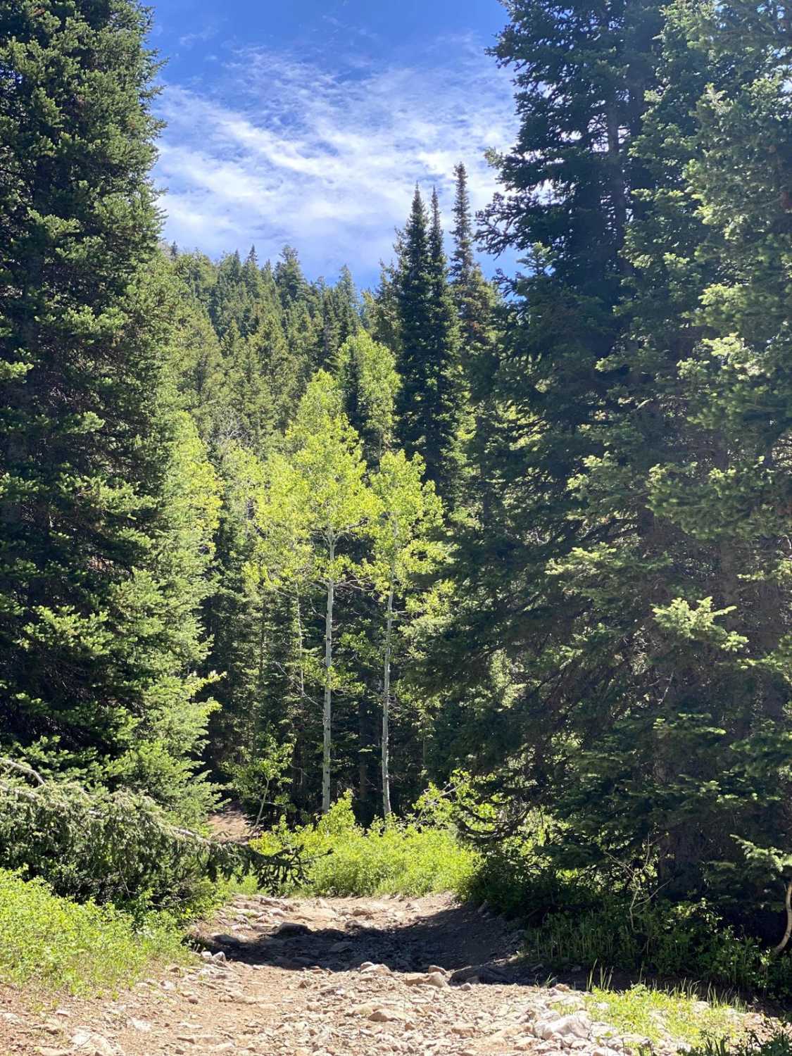
One of the most beautiful trails in the area, Alta Dry Fork will challenge beginners and offer some fun for intermediates. Ford low water crossings and navigate your way through pines, aspens, and verdant alpine meadows. Wildflowers trace the trail that follows the Alta Dry Fork Creek, which, depending on the time of year and weather conditions, may not be dry at all. The cost of this adventure could be a few pinstripes you hadn't planned on. The trail is narrow most of the time with few to no places to pass. Camping is very limited, and cell service is practically non-existent. Expect low-hanging branches, trees across the trail, and several low-water crossings depending on the time of the year. At an elevation of 8,910 feet, Alta Dry Fork ends where the Ridge Hiking Trail begins, giving you access to Lake Catherine, Mount Tuscarora, and a network of backcountry alpine hiking trails.
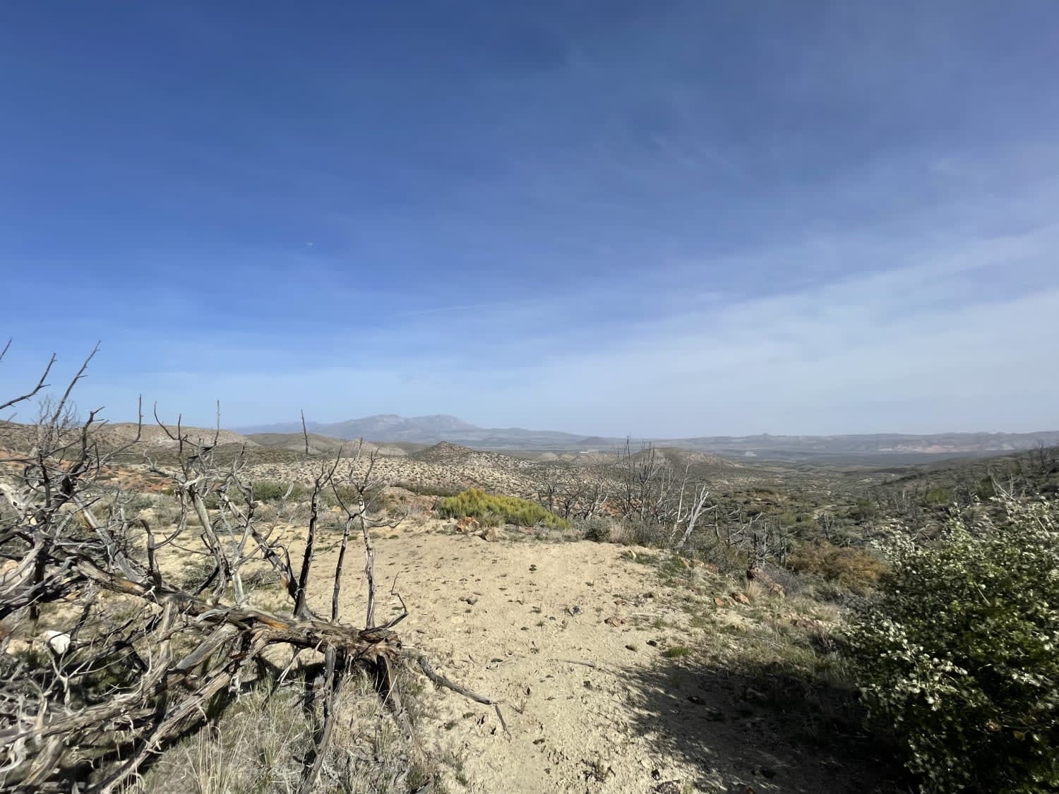
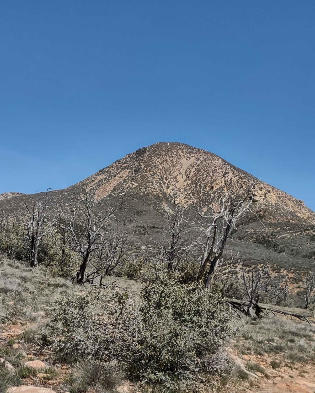
Photos of Alta Dry Fork (FR 70198)
Difficulty
The trail is uneven and narrow in places. Some inclines are covered in loose, baseball-sized rocks. Water crossings aren't deep, but, in late spring and early summer, the trail may be quite wet. Watch out for erosion at water crossings where the trail is on a ledge, creating a small waterfall to your side. Expect a few large rocks, sometimes next to deep ruts on off-camber portions of the trail.
Status Reports
Alta Dry Fork (FR 70198) can be accessed by the following ride types:
- High-Clearance 4x4
- SxS (60")
- ATV (50")
- Dirt Bike
Alta Dry Fork (FR 70198) Map
Popular Trails

Up & Out Of Oak Patch Wash

Parker Mountain Trail (PMT) 1 to PMT 15

Billy Goat Byway to Jackson Peak

Horseshoe Canyon
The onX Offroad Difference
onX Offroad combines trail photos, descriptions, difficulty ratings, width restrictions, seasonality, and more in a user-friendly interface. Available on all devices, with offline access and full compatibility with CarPlay and Android Auto. Discover what you’re missing today!

