Bearskin Cutoff (BC-20)
Total Miles
1.8
Technical Rating
Best Time
Summer, Fall
Trail Type
60" Trail
Accessible By
Trail Overview
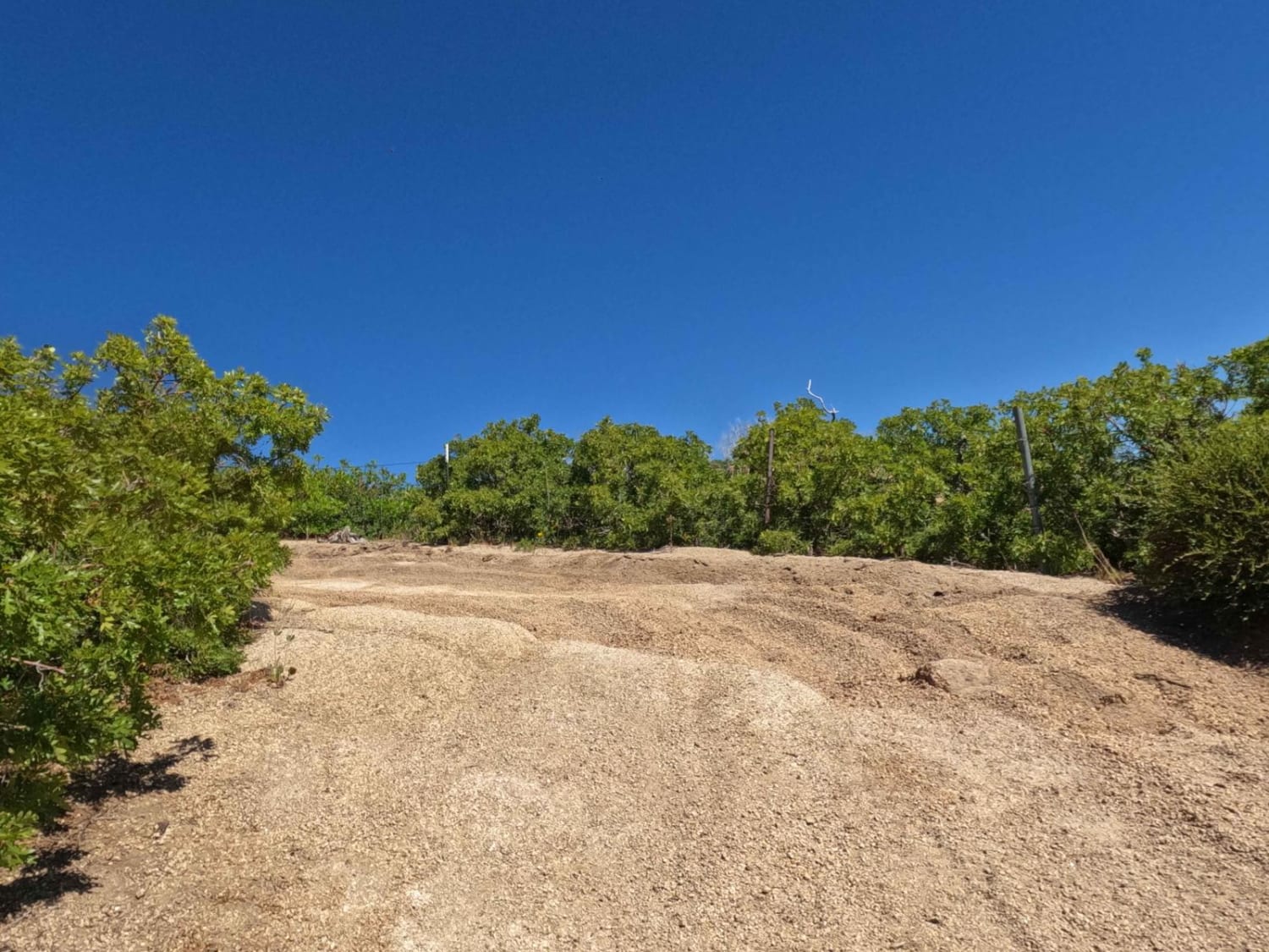
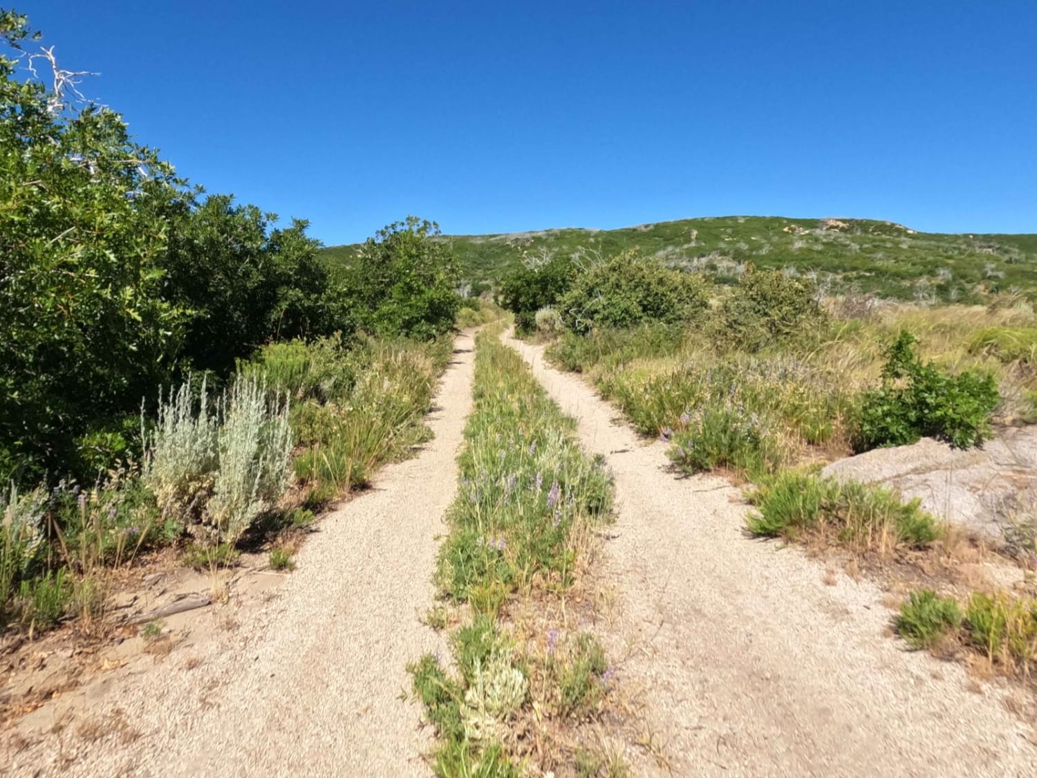
This is a quick way to get from the valley floor to the top of the ridge. Most of this track is easy two-track with some ruts and rocks. The last approximately 0.5 miles are more challenging but nothing that cannot be traversed with some care. If there has been recent heavy precipitation the upper portion can wash, adding marked difficulty. When you get to the top, go to the north about 0.25 miles. Looking to the left, you have a clear view of the valley to the west. This is a marvel of energy options including solar, wind, geothermal, and bio-decomposition for methane. By continuing down the ridge you will run into a geothermal power plant. This route does not open until late spring and will close when snow begins falling.
Photos of Bearskin Cutoff (BC-20)
Difficulty
This two-track trail is a quick way to climb the ridge. The lower 75% of this trail is easy two-track. The 800-foot elevation gain takes place in the final 25%. This has some narrow points with bushes on the side and rocks. Near the top, there is a sharp left turn that can result in some three-wheel for some vehicles. Picking a good line based on conditions makes this area easier. The trail is narrow at the top, so wider vehicles may get some scratches on the turns.
Bearskin Cutoff (BC-20) can be accessed by the following ride types:
- SxS (60")
- ATV (50")
- Dirt Bike
Bearskin Cutoff (BC-20) Map
Popular Trails
Full Frontage

Cross Border Excursion
UM Pass Trail
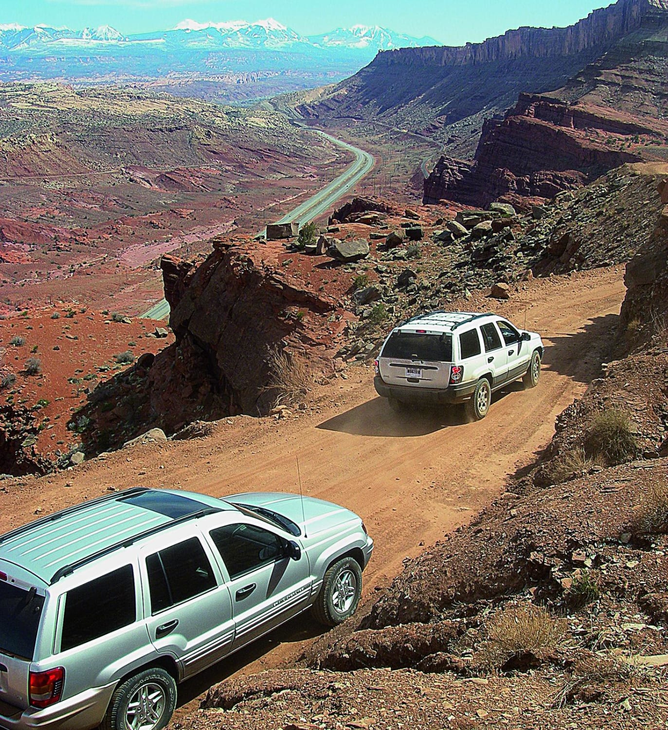
Gemini Bridges
The onX Offroad Difference
onX Offroad combines trail photos, descriptions, difficulty ratings, width restrictions, seasonality, and more in a user-friendly interface. Available on all devices, with offline access and full compatibility with CarPlay and Android Auto. Discover what you’re missing today!
