Copper Ridge
Total Miles
25.7
Technical Rating
Best Time
Spring, Summer, Fall, Winter
Trail Type
Full-Width Road
Accessible By
Trail Overview
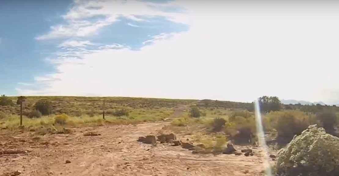
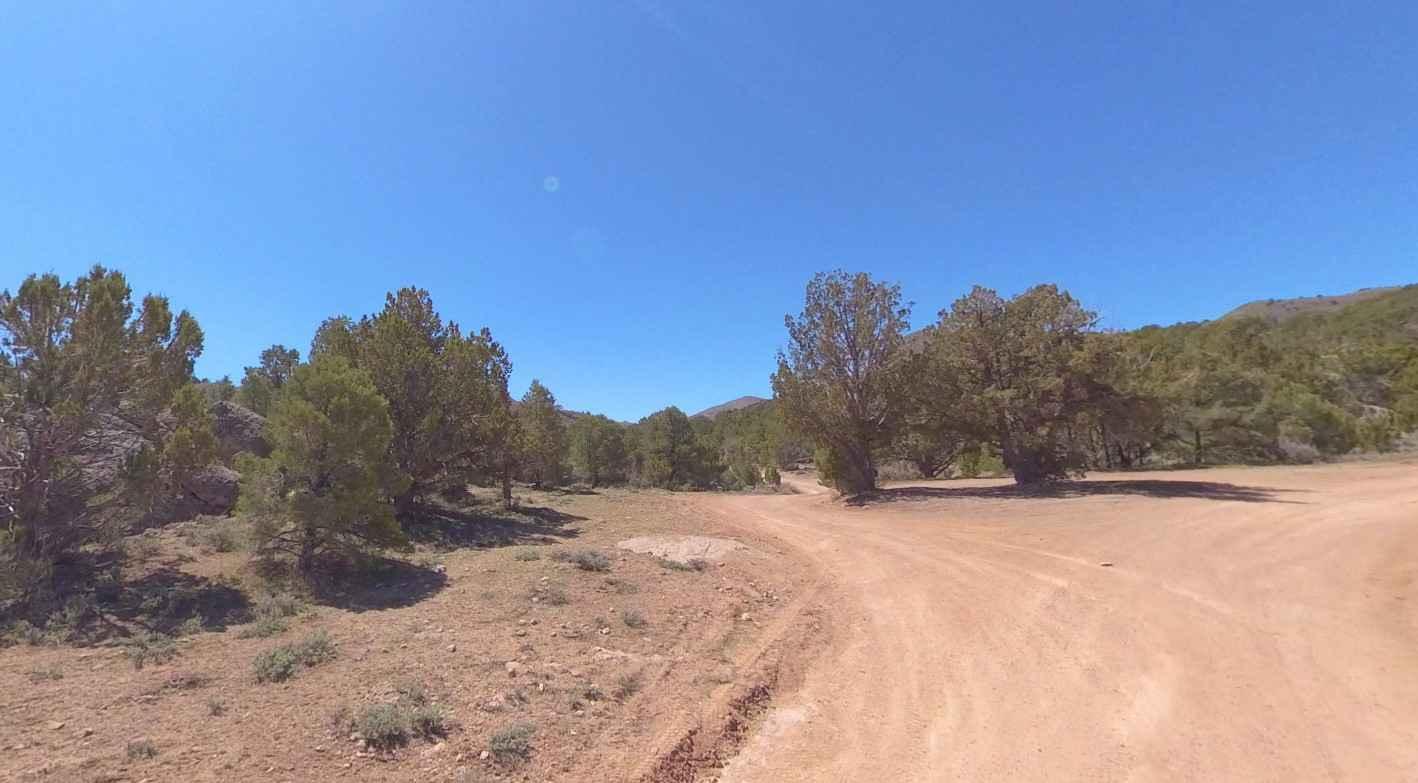
Copper Ridge is a 26-mile point-to-point trail rated 4 out of 10 located in X County. This trail is a combination of several roads north of Moab and near the western boundary of Arches National Park. It lies east of the Moab Fault, so the rock formations are younger than many of the trails to the west. The trail consists mostly of dirt and rocky dirt, but there are several stretches of slickrock as well as some broad sandy wash bottoms. Prominent scenic exposures are in an area called Klondike Bluffs; you may have seen a preview on your way here from Highway 191. Some of the trail is comprised of Mancos Shale and Morrison Formation (gray soils) and these soils are nearly impassible when wet, travel is not advised for several days after significant rain or with melting snow. When dry, most of the trail could have a lower rating, but there are eroded trail portions that can challenge stock vehicles. At the beginning the trail goes to an unexpected and beautiful pour-off of lower Sevenmile Canyon and past the slickrock area where Courthouse Wash first cuts into the Entrada Formation. The Klondike Bluffs' exposure of white-capped red rock towers and canyon walls are at a moderate distance. There is a good view of Tower Arch, and some other arches are seen at a distance. After running through the sandy Courthouse Wash the trail goes near colorful hills that have yielded dinosaur bones. About 16 miles along the track the trail passes by the remnants of an old 1960's movie set. Some of the film "Blue" with Ricardo Montalban was filmed at this location. Nearing the end the trail will bear east for a short distance to an area where a short hike will lead to preserved dinosaur tracks. Cell phone service is intermittent and the nearest services are in Moab.
Photos of Copper Ridge
Difficulty
Trail consisting of loose rock, dirt, and sand with some slickrock surfaces. Some erosion; washes, gulches, and rock steps no higher than 18". Tall tires (33" plus) and limited slip are a plus. 4WD is required. Enhanced suspension travel and good ground clearance are helpful. Good driving skills are a plus.
Status Reports
Copper Ridge can be accessed by the following ride types:
- High-Clearance 4x4
- SUV
- SxS (60")
- ATV (50")
- Dirt Bike
Copper Ridge Map
Popular Trails
Behind the Rocks
Long Hollow ATV
Clay Deposit Road-FR30274
The onX Offroad Difference
onX Offroad combines trail photos, descriptions, difficulty ratings, width restrictions, seasonality, and more in a user-friendly interface. Available on all devices, with offline access and full compatibility with CarPlay and Android Auto. Discover what you’re missing today!

