Cottonwood Canyon Road
Total Miles
38.7
Technical Rating
Best Time
Spring, Fall, Summer
Trail Type
Full-Width Road
Accessible By
Trail Overview
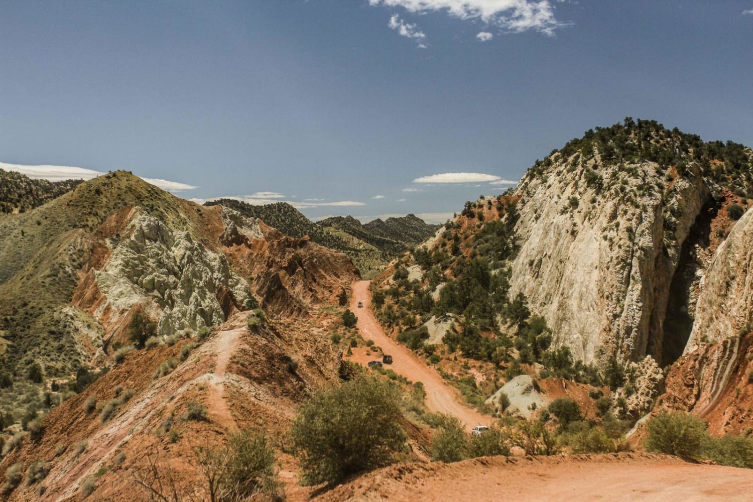
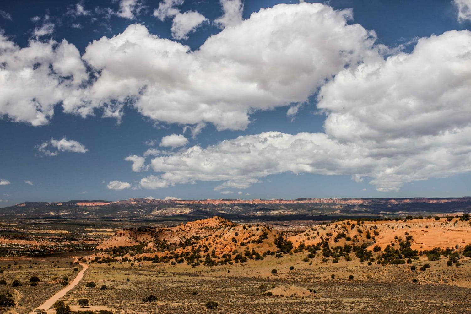
Cottonwood Canyon Road is a relatively easy route that serves as a shortcut between Bryce Canyon National Park / Utah SR-12, and Lake Powell / US-89. It follows Cottonwood Canyon and the Paria River, and the canyon is the dividing line for two different sections of the Grand Staircase Escalante National Monument. To the west is the Grand Staircase, and to the east is the Kaiparowits Plateau. The scenery is constantly changing over the course of the road, with expansive views of the canyon and rock formations.
Photos of Cottonwood Canyon Road
Difficulty
While the road surface is easy to contend with, there are large uphill and downhill sections with limited visibility. The presence of cows and other livestock is common on the road, as most of the National Monument is open range. Soft spots on the road are uncommon, but are possible with changing road texture. The road is not recommended in the winter or after rainfall, as the fine silt base of the road can make it extremely treacherous to attempt.
Status Reports
Cottonwood Canyon Road can be accessed by the following ride types:
- High-Clearance 4x4
- SUV
- SxS (60")
- ATV (50")
- Dirt Bike
Cottonwood Canyon Road Map
Popular Trails
Buckskin Wash Road (508)
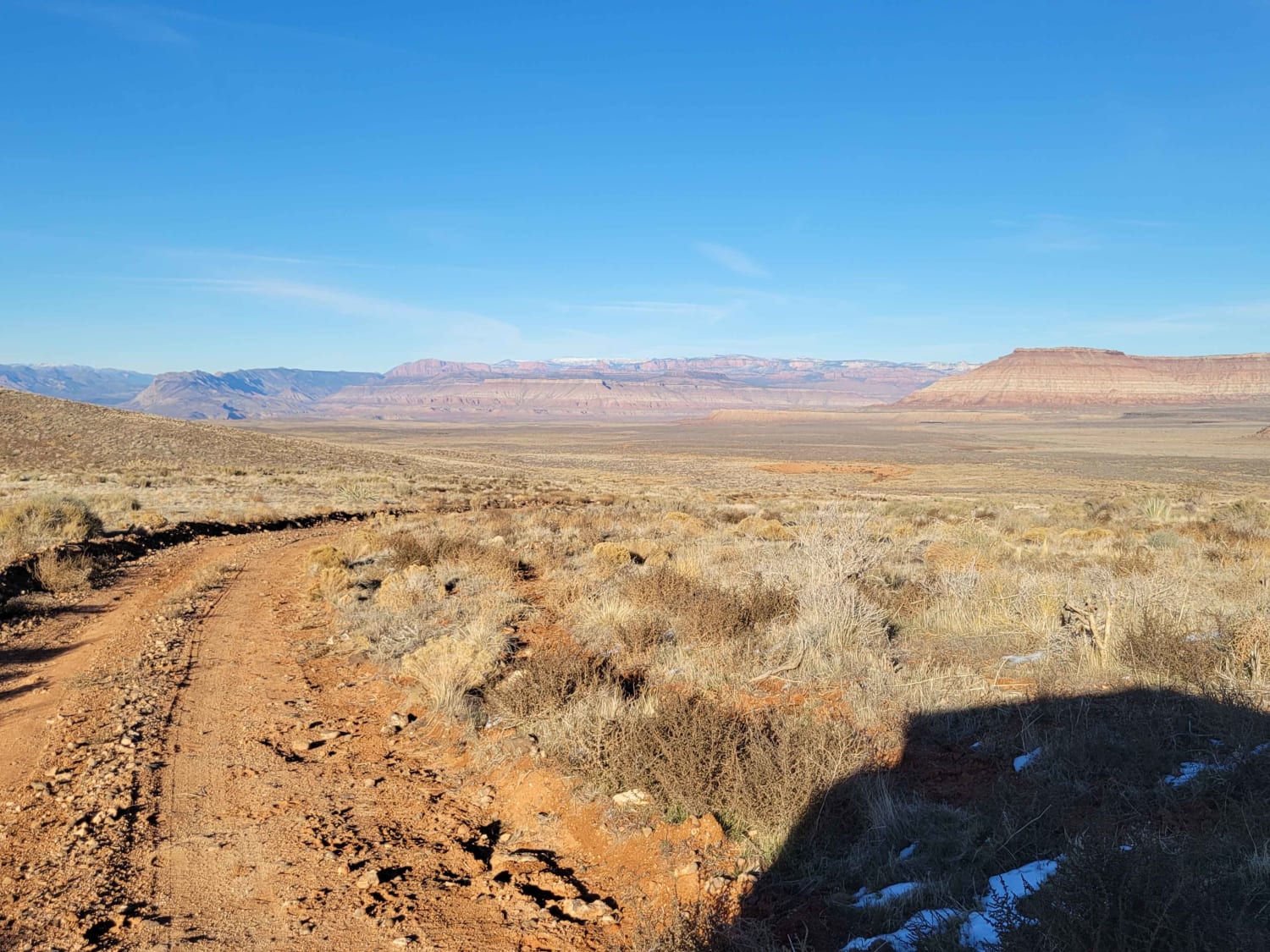
Hurricane Cliffs Trail
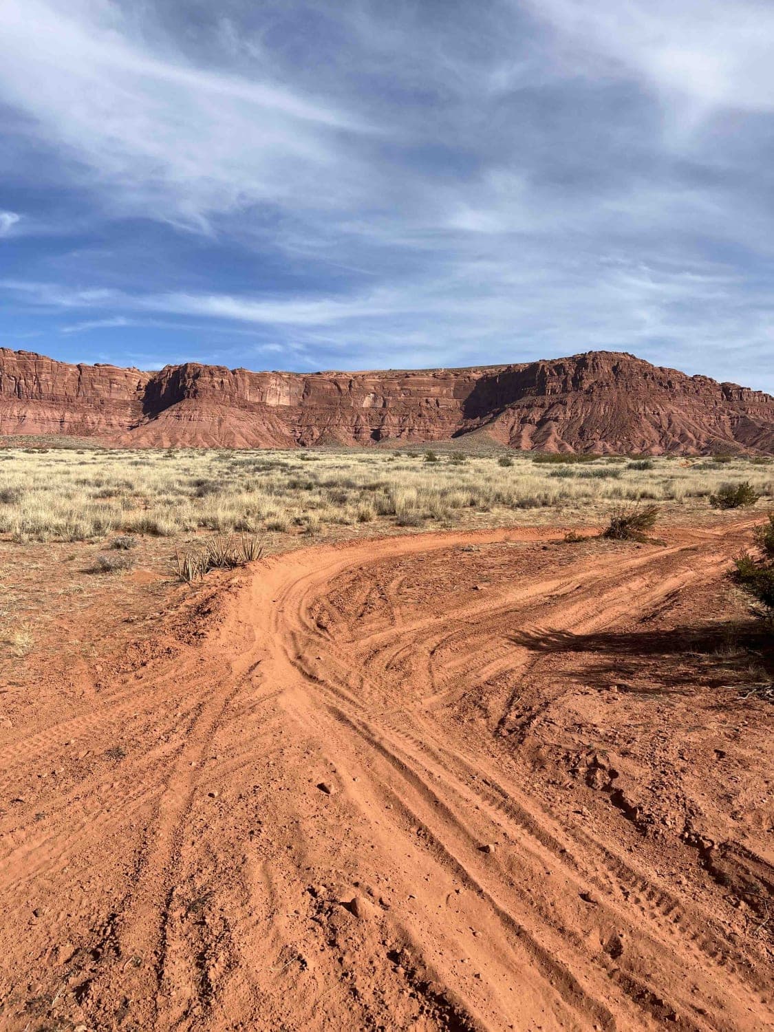
Valley Turn Track
The onX Offroad Difference
onX Offroad combines trail photos, descriptions, difficulty ratings, width restrictions, seasonality, and more in a user-friendly interface. Available on all devices, with offline access and full compatibility with CarPlay and Android Auto. Discover what you’re missing today!
