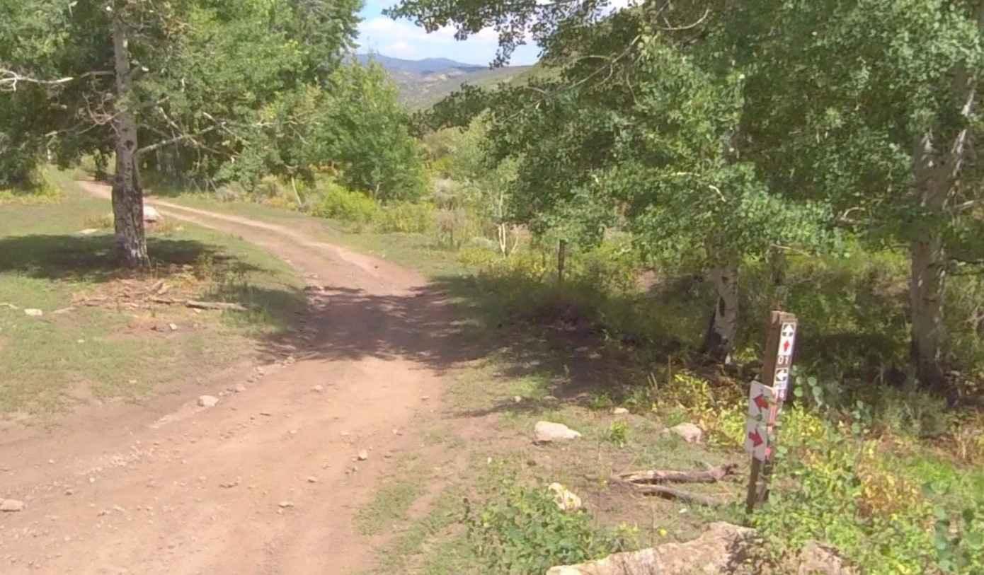
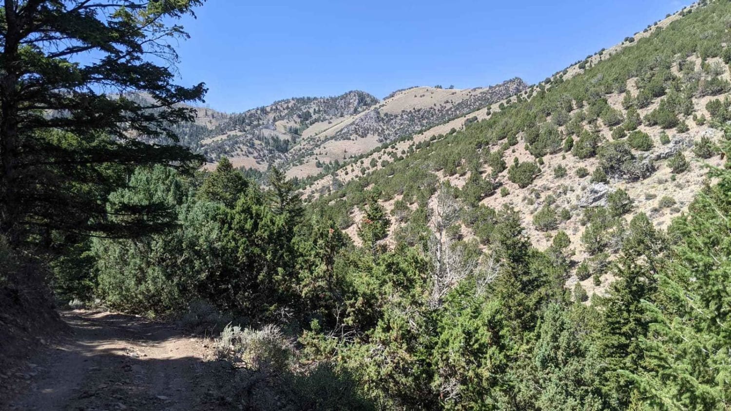
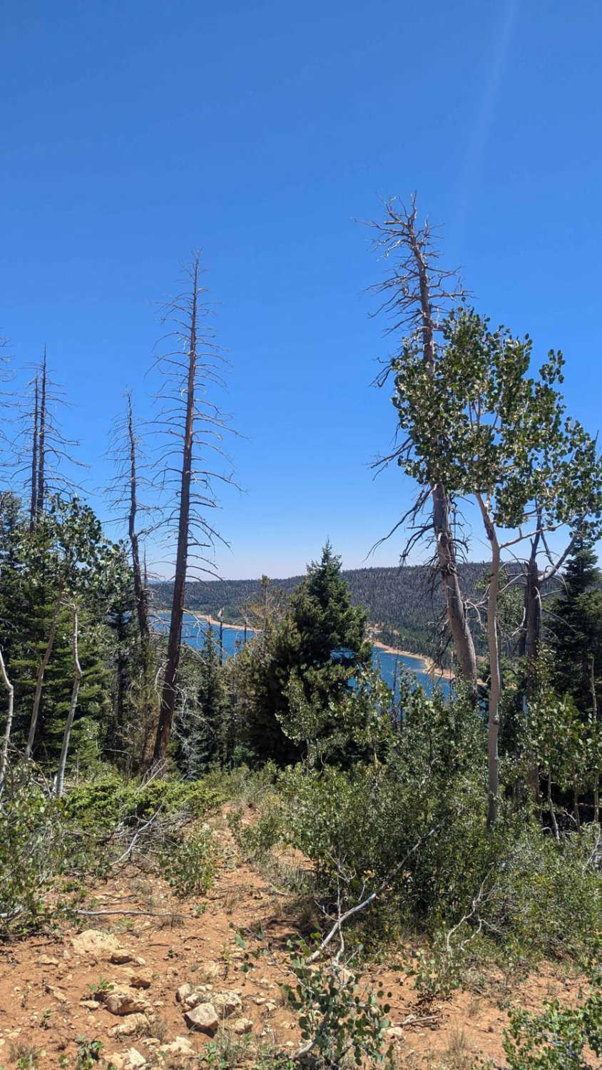
Cummings Creek Road- FS 41680
Total Miles
4.2
Elevation
2,359.42 ft
Duration
0.5 Hours
Technical Rating
Best Time
Summer, Spring, Fall
Trail Overview
Cummings Creek Road is a 4.3-mile point-to-point trail rated 3 of 10 located in Millard County. This trail runs along the west side of the Pavant Mountain Range and is within the Fishlake National Forest, Fillmore Ranger District. Cummings Creek Road is part of the original Paiute Trail Network the largest trail network in the country with more than 1650 trail miles. As part of Paiute Trail #1 this 4.3-mile section is only part of the 238-mile original loop. It was completely formed without environmental impact by merely organizing existing old roads and trails in the Fishlake National Forest and adjoining BLM-administered land, with the exception of a handful of narrow sections needed to complete the "backbone" #01 loop. Trail #01's 238-mile length provides connection with 800-plus miles of "official" side trails as well as the 1900-plus miles of other forest roads open to offroading vehicles. Cummings Creek is a single-vehicle track through wooded areas and a few minor stream crossings. The trail consists of mostly hard-pack dirt and has an altitude of about 7000 feet. This trail will be snow-covered in the winter and generally impassable by wheeled vehicles. Dispersed camping is allowed, and motor vehicle use off of designated roads and trails for the purpose of dispersed camping is permitted in Fishlake National Forest up to 150 feet from the centerline of the road or trail for the period year-round. Much of the Fishlake National Forest is remote. Medical assistance may not be readily available. Cellular telephones do not work in many areas of the Fishlake National Forest. The nearest services are located to the east in Richfield and Elsinore or to the west in Fillmore.
Photos of Cummings Creek Road- FS 41680

Difficulty
Trail consisting of loose rocks, dirt, and sand with some slick rock surfaces, mud holes possible, no steps higher than 12". 4WD may be required, aggressive tires are always a plus.
History
The Paiute Trail began in the small community of Circleville back in the summer of 1988 and was created by two lifelong schoolmates and good friends Clyde Lay a Forest Engineer for the Fishlake National Forest and Lindon Romine, a Piute County Commissioner. They rolled out some maps and plotted a large loop that crossed three mountain ranges and passed through four rural communities, including their beloved Circleville. Much of this initial 250-mile loop, which was later modified to the current 238-mile loop, already existed with only a few places needing actual construction. They took their proposal to the counties and towns that would be involved and got overwhelming support. The name "Paiute" was selected, utilizing the spelling of the local Native culture rather than that of the county by the same name. Today, the entire Paiute System is a 1679-mile network that crosses multiple mountain ranges ranging in elevation from 5,200 to over 11,400 feet, spans several counties, and connects 16 small southern Utah communities.
Popular Trails
Martin Fork

BLM 558/Inchworm

Johns Canyon Road - West
The onX Offroad Difference
onX Offroad combines trail photos, descriptions, difficulty ratings, width restrictions, seasonality, and more in a user-friendly interface. Available on all devices, with offline access and full compatibility with CarPlay and Android Auto. Discover what you’re missing today!