Goat Springs-Devil's Arm Chair-FSR40500
Total Miles
6.2
Technical Rating
Best Time
Spring, Summer, Fall
Trail Type
Full-Width Road
Accessible By
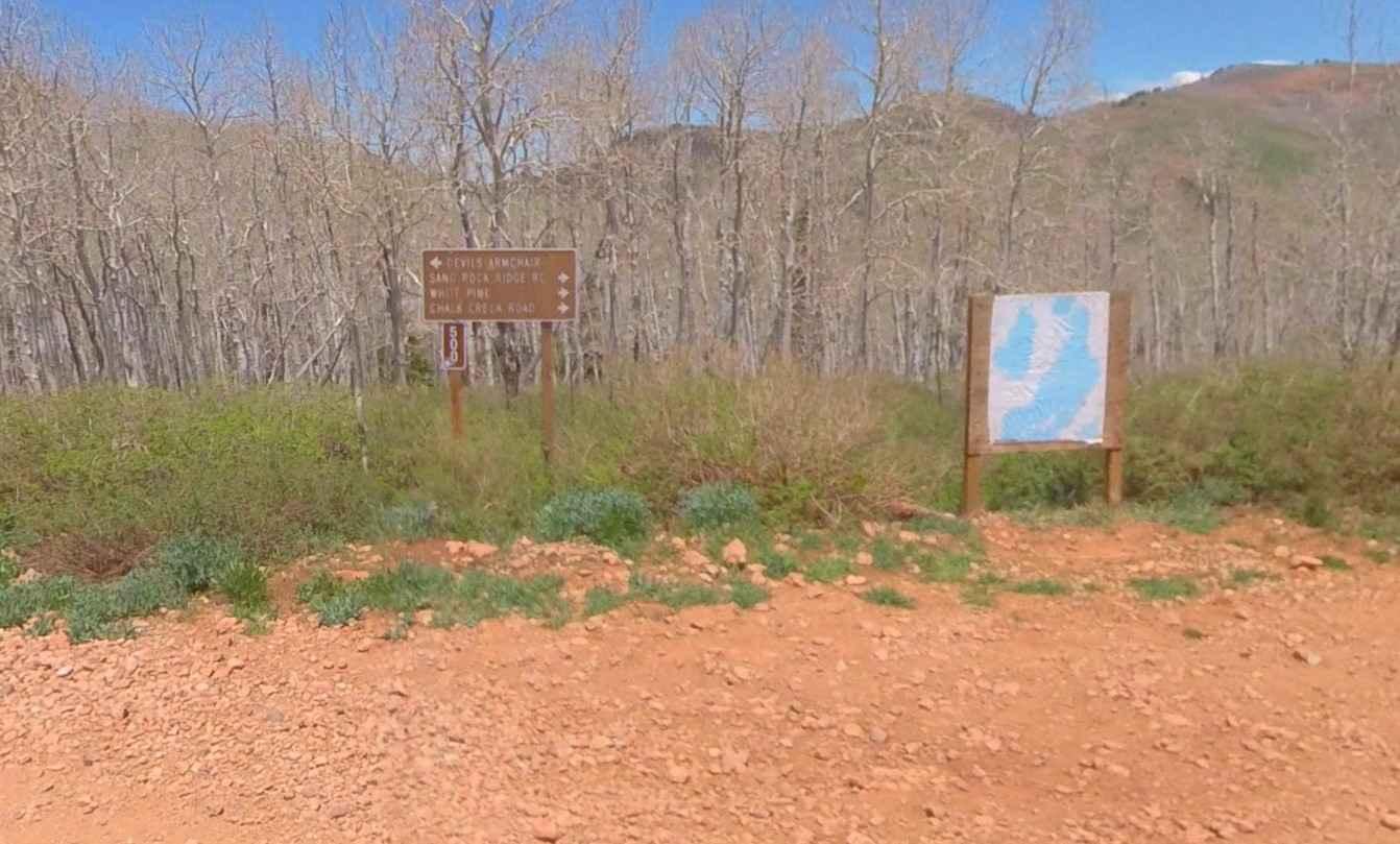
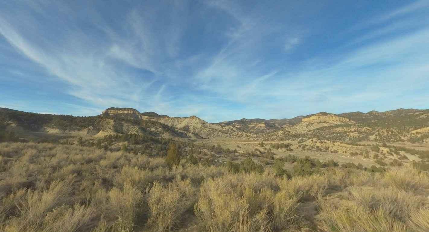
Trail Overview
Goat Springs-Devils Arm Chair is a 6.2-mile (12.4-mile round trip) out-and-back trail rated 3 of 10 located in Millard County. The trail is located within the Fishlake National Forest, Fillmore Ranger District. Goats Springs trail is a destination trail that leads out to the Devil's Arm Chair a unique rock formation rising out of the forest floor. The trail is an out-and-back route with the northern portion being graded gravel and the southern portion being compacted dirt and embedded rock. The trail is part of the Paiute Trail Network and is a side trail from Paiute Trail #1. This is Paiute Side Trail #00. The Devil's Arm Chair may be viewed from the highest point along the trail looking west. There are a couple of hiking trail markers at this location as well. Views to the west include the armchair as well as the Great Basin. On a clear day, it is possible to look west across the Great Basin all the way to Nevada and see the mountains of the Great Basin National Park. Continuing down the trail a little way offers views across the valley to the southeast and the southern portion of the Pavant Range and the Interstate 70 corridor. The trail is generally accessible by any 2 or 4WD high-clearance vehicle. The trail is mostly above 9000' elevation so don't expect snow to clear until late spring or early summer. Cell phone service is intermittent and the nearest service is located in Richfield to the east.
Photos of Goat Springs-Devil's Arm Chair-FSR40500

Difficulty
Trail consisting of loose rocks, dirt, and sand with some slick rock surfaces, mud holes possible, no steps higher than 12". 4WD may be required, aggressive tires are a plus.
Status Reports

Popular Trails
Trail Canyon

Blue Castle

Farley Road
Cricket Mountain OHV Route 11
The onX Offroad Difference
onX Offroad combines trail photos, descriptions, difficulty ratings, width restrictions, seasonality, and more in a user-friendly interface. Available on all devices, with offline access and full compatibility with CarPlay and Android Auto. Discover what you’re missing today!