Iron Mine Road 80414
Total Miles
6.0
Technical Rating
Best Time
Summer, Fall
Trail Type
Full-Width Road
Accessible By
Trail Overview
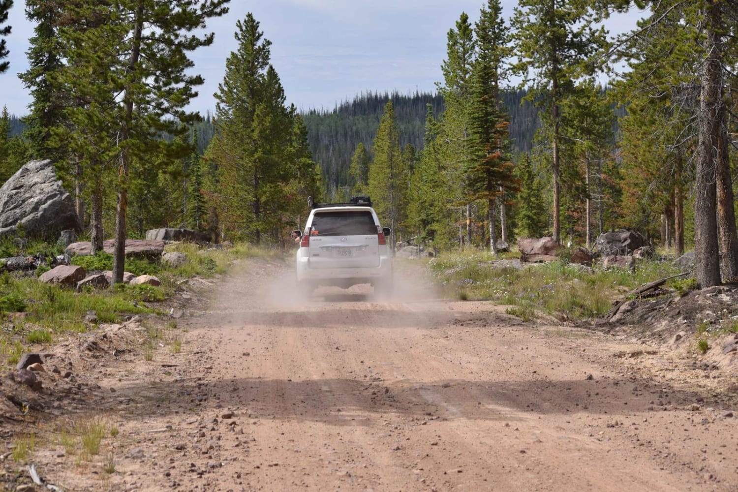
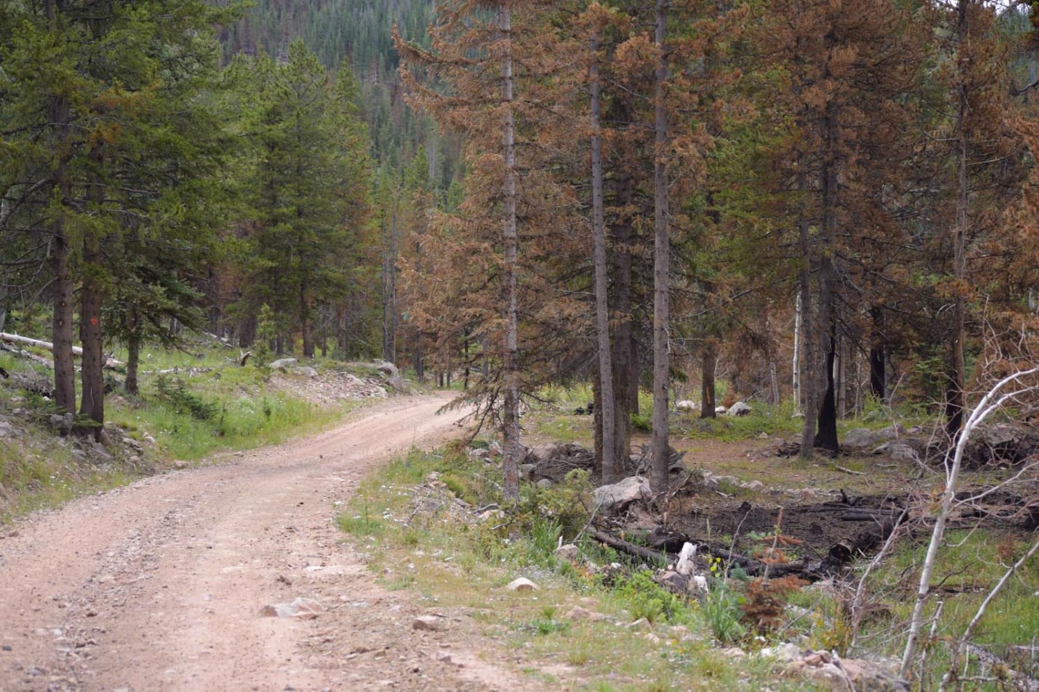
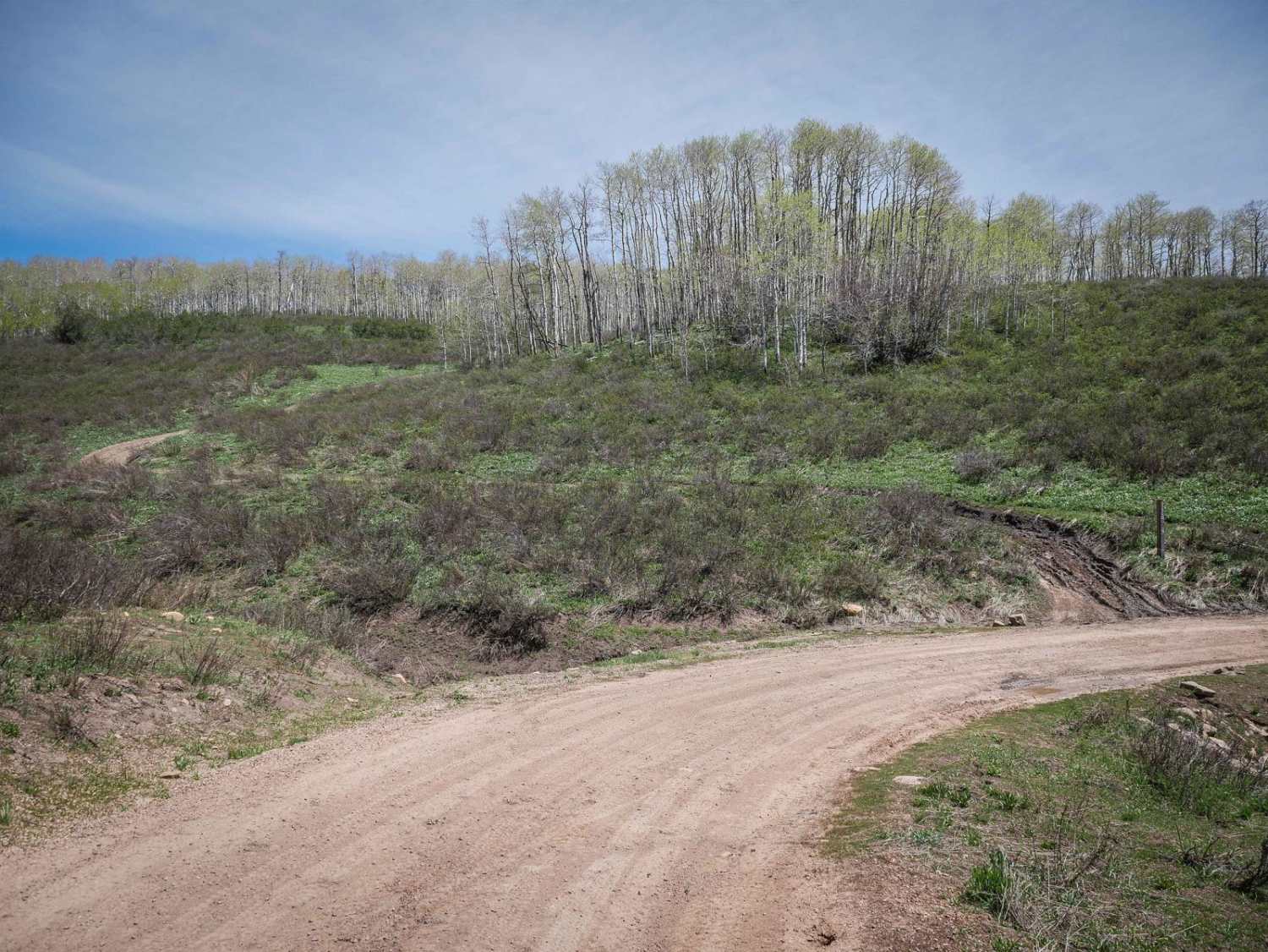
After turning left onto the Iron Mine trail and leaving the main dirt road through the Soapstone area, the road will narrow a bit. It is wide enough to pass another vehicle most of the trail. There are a few sections of the trail where you will find dips and potholes, definitely some washboard. One section has a sizeable dip where a stream has cut through, leaving a bit of a void to cross-not recommended for lower-clearance vehicles. Overall the trail is rocky and dusty. There are multiple places to camp along the route. After this mapped section, there are some areas closed to the public for logging.
Photos of Iron Mine Road 80414
Difficulty
Trail is recommended to be run with a high-clearance vehicle due to a few technical sections.
Status Reports
Popular Trails
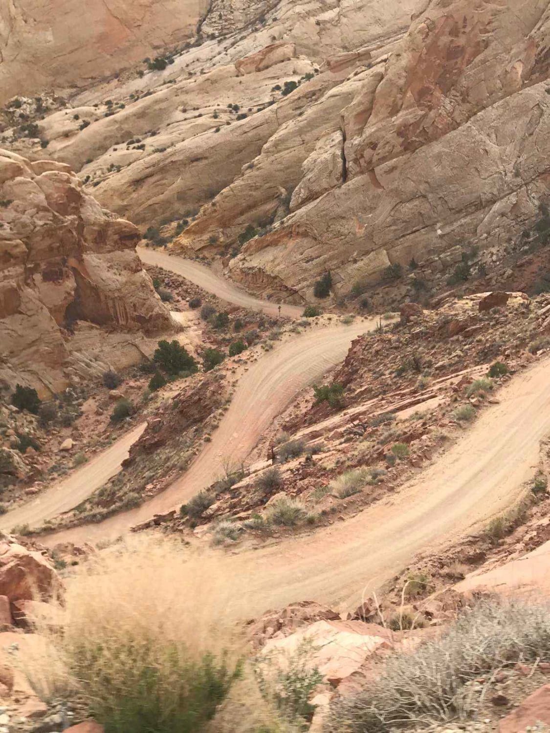
Burr Trail Switchbacks

We're In A Tight Spot - BLM 5145
Gwt Strawberry Ridge ATV
The onX Offroad Difference
onX Offroad combines trail photos, descriptions, difficulty ratings, width restrictions, seasonality, and more in a user-friendly interface. Available on all devices, with offline access and full compatibility with CarPlay and Android Auto. Discover what you’re missing today!
