We're In A Tight Spot - BLM 5145
Total Miles
2.2
Technical Rating
Best Time
Summer, Fall
Trail Type
60" Trail
Accessible By
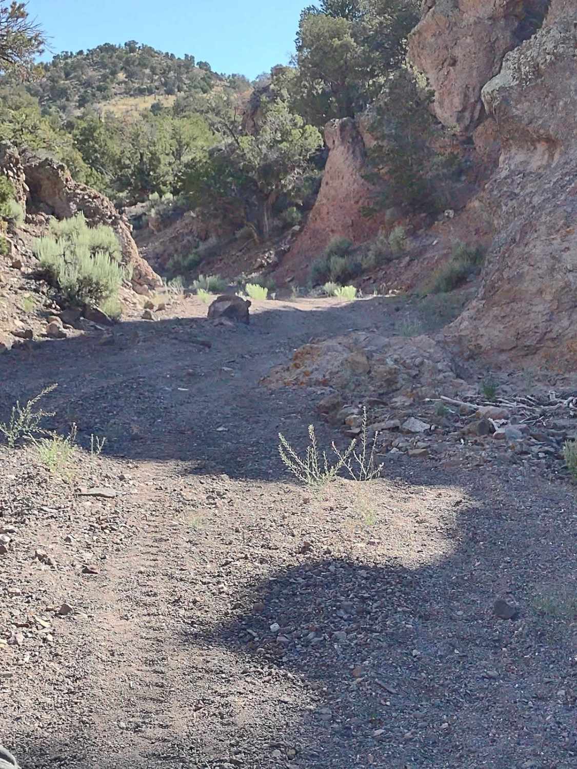
Trail Overview
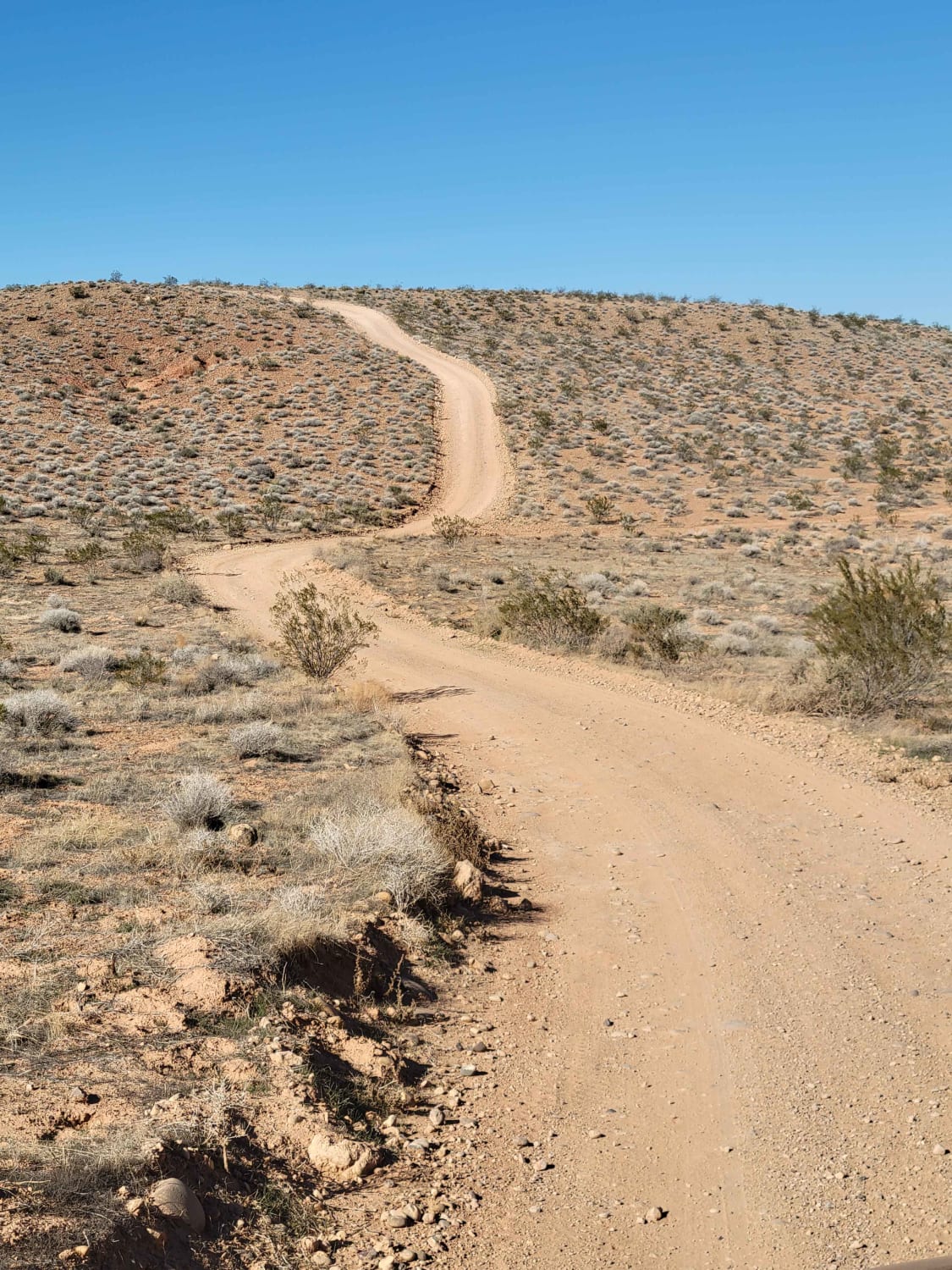
This track follows a two-track trail across BLM-managed lands, and it goes up through a wash in a canyon to the end, where you U-turn and drive back out. The two-track trail looks like it exits the canyon, but we have not been able to find that part of the trail. There are rock obstacles, tree obstacles, erosion and washout areas, sharp and tight turns, and adventure at every turn. The 4-seater in our group was 72" wide, high-centered at one spot, and needed winching. One of the 2-seaters needed winching off of a stump that was threatening skid plate damage. The bushes and trees that grow in the wash are close to the trail in places, so taking flags off and folding in mirrors is a good idea. You drive in and out of the wash, as the trail navigates around boulders too large for vehicles to go over. At times, you get off-camber going in and out of the wash, but they're short stretches of off-camber. In places, you're straddling the wash with tires up on both sides. In one location, the driver's side tires are up on a dead tree that's embedded in the wash, and the passenger tires or down on the dirt. Good ground clearance is required - this is a skid plate tester. There is one spot on the way south through the wash where 4-seaters have to literally back down an embankment, turning to the left, so they can drive straight on out of the wash. The turn is too tight for 4-seaters to drive into it. 2-seaters are able to make this tight turn without backing into it.
Photos of We're In A Tight Spot - BLM 5145

Difficulty
In early July, we only had one muddy area in the canyon. But there are tight turns, big rocks, tree obstacles, areas of erosion, and washout all through the wash.
Status Reports
We're In A Tight Spot - BLM 5145 can be accessed by the following ride types:
- SxS (60")
- ATV (50")
- Dirt Bike
We're In A Tight Spot - BLM 5145 Map
Popular Trails
CR 244 Johns Canyon Road
Dry Canyon Trail to Jacob City Loop
Mapleton-Sawmill Hollow (8013)
The onX Offroad Difference
onX Offroad combines trail photos, descriptions, difficulty ratings, width restrictions, seasonality, and more in a user-friendly interface. Available on all devices, with offline access and full compatibility with CarPlay and Android Auto. Discover what you’re missing today!