Kamikaze
Total Miles
2.4
Elevation
1,819.29 ft
Duration
1.5 Hours
Technical Rating
Best Time
Spring, Summer, Fall
Trail Overview
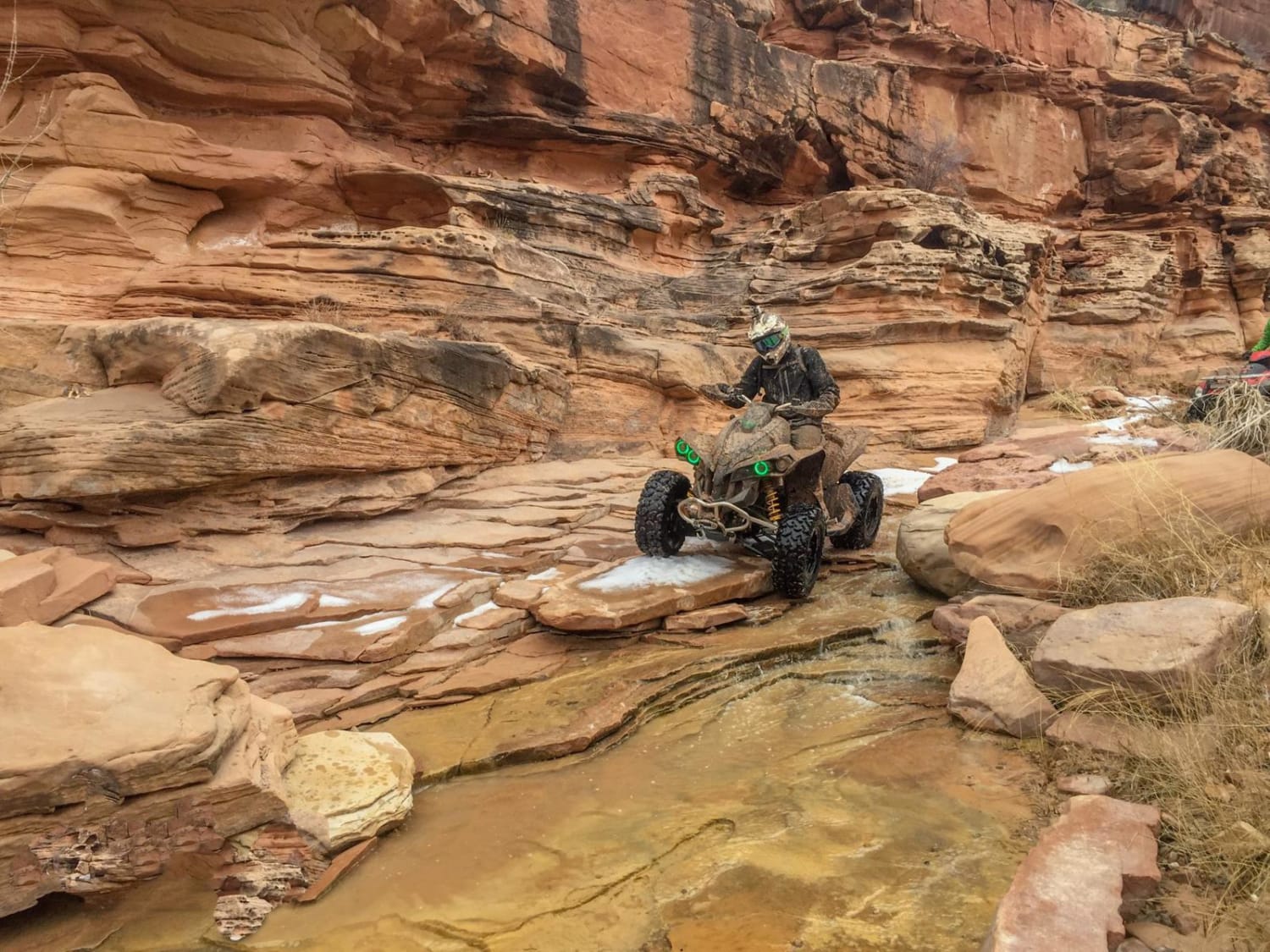
This is a short but super steep and fun side trip from Box Car Loop. The middle portion of the route takes you along a shelf road, and finishes in a straight, flat section. It's a great ATV and UTV route, and the trailhead is located at the exit of Box Car Loop, Trail #64, so its easy to do both of these trails in the same day.
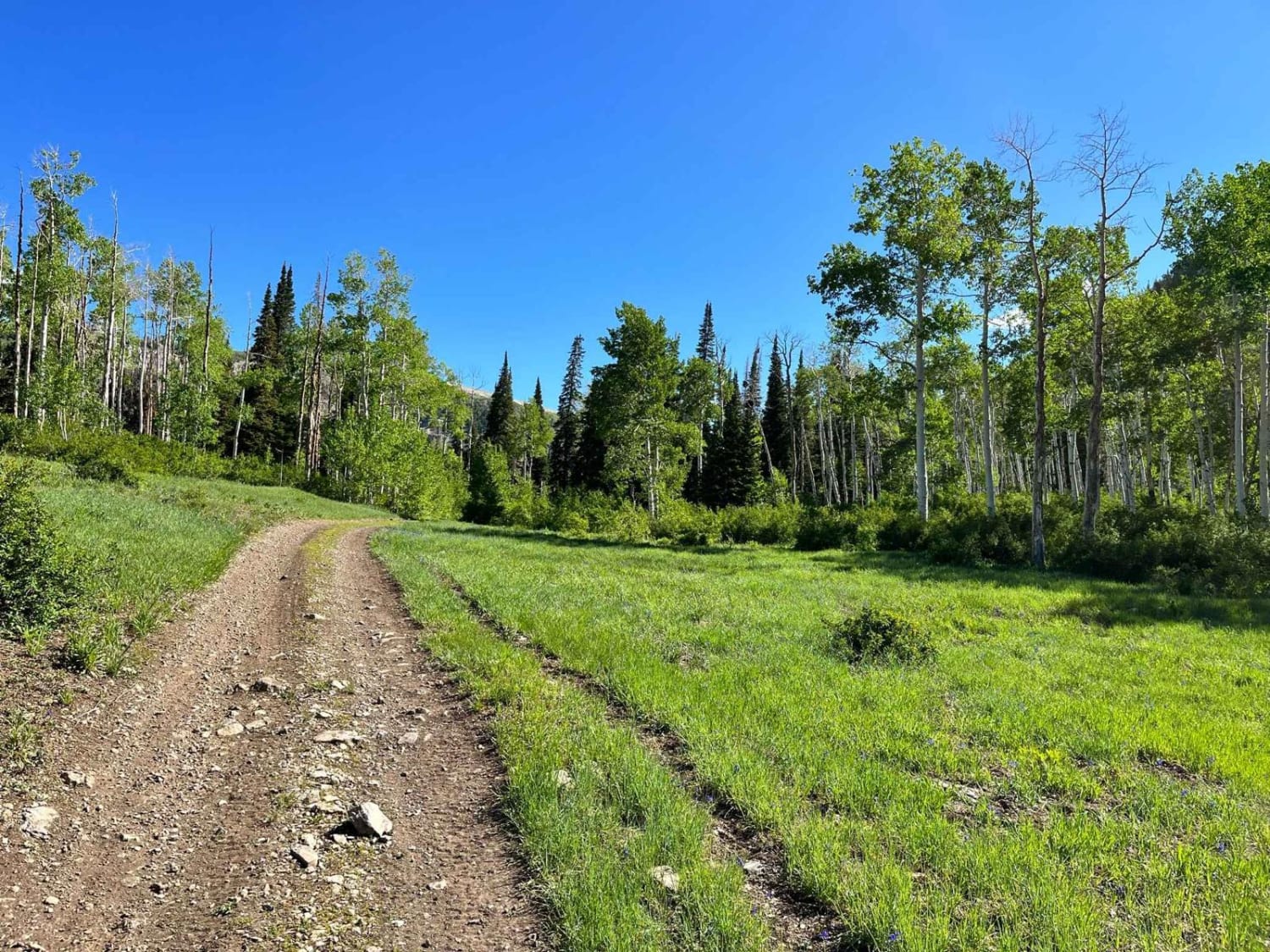
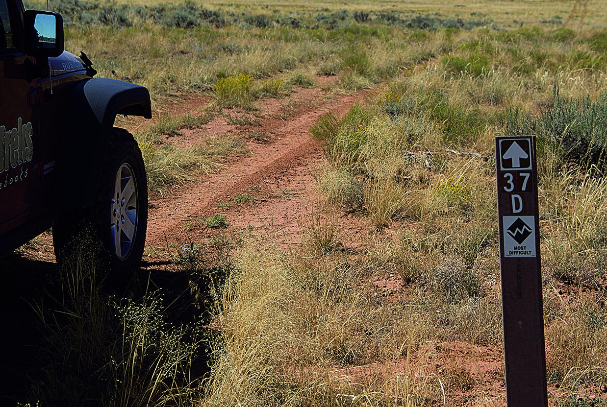
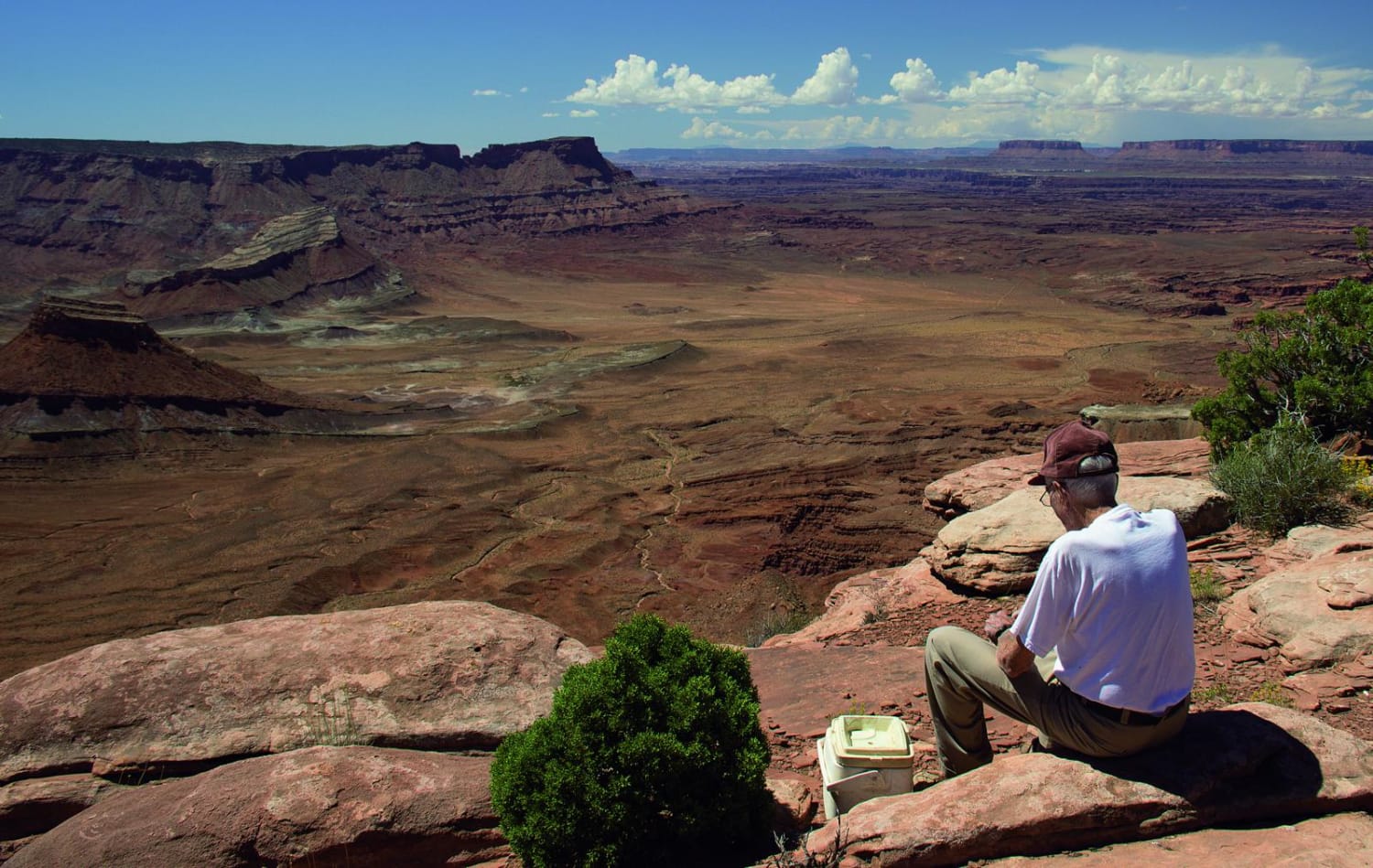
Photos of Kamikaze
Difficulty
Difficult. Hardest part of trail is the initial short stairstep descent. This is followed by a longer smooth slickrock descent, which has a higher pucker factor, but is not as difficult. Aggressive, stock, high-clearance 4x4 SUVs can do this trail with experienced driver. Rear locker helps coming back up the steep stairsteps (pictured above).
Status Reports
Popular Trails

Fourth Water #017

Lowry Fork Fox Run

Sheep Creek Connector ATV Trail
The onX Offroad Difference
onX Offroad combines trail photos, descriptions, difficulty ratings, width restrictions, seasonality, and more in a user-friendly interface. Available on all devices, with offline access and full compatibility with CarPlay and Android Auto. Discover what you’re missing today!


