Short Canyon Road
Total Miles
15.3
Technical Rating
Best Time
Spring, Summer, Fall, Winter
Trail Type
Full-Width Road
Accessible By
Trail Overview
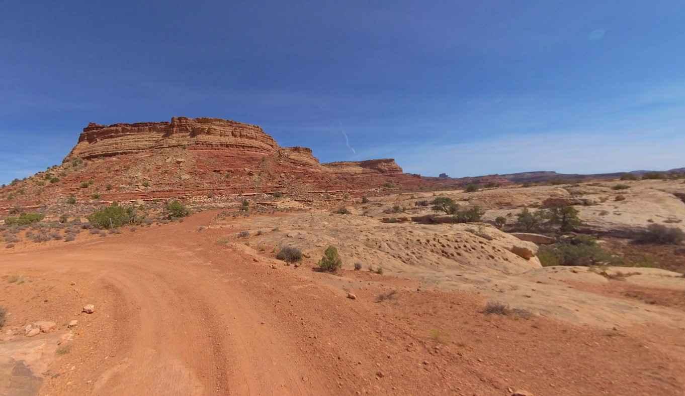
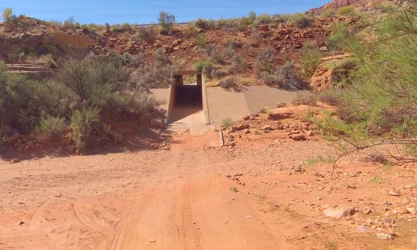
Short Canyon Road is a 15.3-mile point-to-point trail rated 3 of 10 located in San Juan County. The trail starts in the staging area and loops through a tunnel running under Highway 95. It comes out into Short Canyon wash and eventually climbs out onto the mesa above. Most of the trail offers fantastic vistas in any direction. The trail consists of hard-packed dirt with rocks and multiple crossings of side slope gullies which slow travel. At times, the trail narrows, making it precarious for full-sized vehicles to negotiate. Care should be taken to watch for large rocks that may have slid down from above and may create a hazard in the trail. Along the trail, there are several old relics as well as an old miner's shack. Remember to leave any artifacts you come across (this includes anything older than 50 years in the area). This is an extremely remote area, so plan your trip accordingly. There are no services for 70 miles in any direction. The trail is marked with standard brown Carsonite signage with the number 43. The trail intersects with Jacobs Chair Trail, which is a 13-mile trail to the west leading back to Highway 95 and about 4 miles south of the trailhead. Travelers will find signs at both trailheads reminding them to remain on designated trails. The closest medical help (over an hour from the trailhead) is the San Juan Hospital in Monticello.
Photos of Short Canyon Road
Difficulty
The trail consists of loose rocks, dirt, and sand with some slick rock surfaces and mud holes possible. No steps are higher than 12 inches. 4WD may be required, and aggressive tires are a plus.
Status Reports
Short Canyon Road can be accessed by the following ride types:
- High-Clearance 4x4
- SUV
- SxS (60")
- ATV (50")
- Dirt Bike
Short Canyon Road Map
Popular Trails

FSR 42642 To 40454
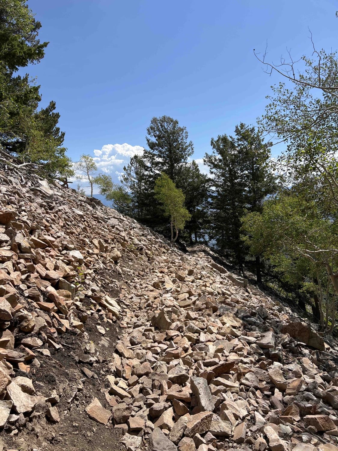
East Ridge (2038)

Sand/Lamb Point Loop Road (BLM05)
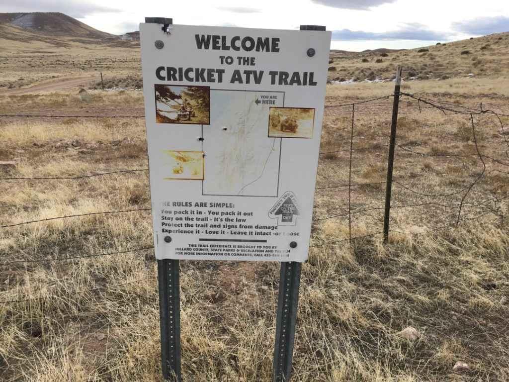
Cricket Mountain OHV Route 2
The onX Offroad Difference
onX Offroad combines trail photos, descriptions, difficulty ratings, width restrictions, seasonality, and more in a user-friendly interface. Available on all devices, with offline access and full compatibility with CarPlay and Android Auto. Discover what you’re missing today!
