South Mytoge
Total Miles
6.2
Technical Rating
Best Time
Spring, Summer, Fall
Trail Type
Full-Width Road
Accessible By
Trail Overview
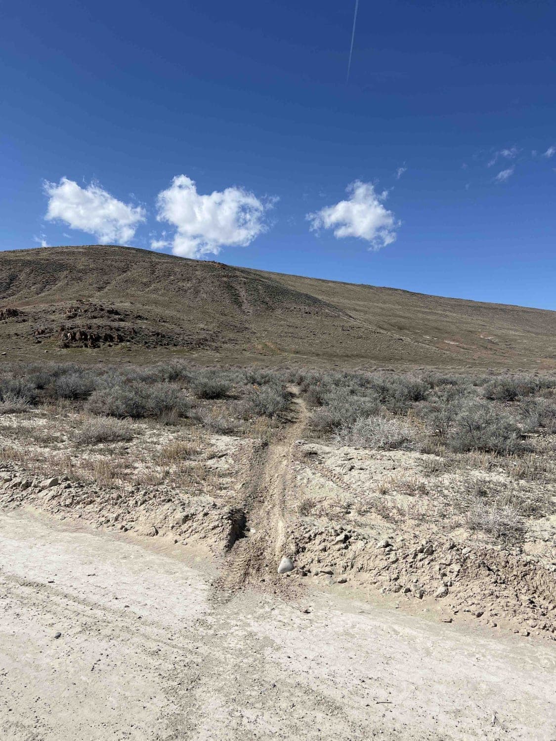
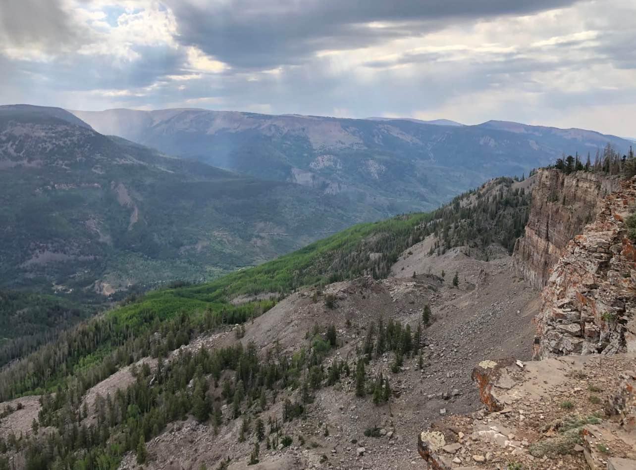
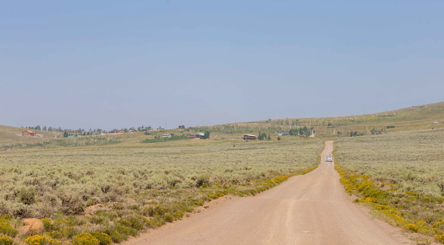
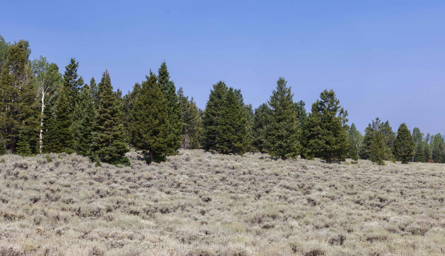
South Mytoge Road offers access to the South and East side of Fish Lake. The road is maintained around the South end of the lake as it offers access to many campgrounds and primitive camping spots. As the road approaches the Eastside rim of the lake, it becomes rougher and can be difficult to traverse in inclement weather. There are a few primitive camping sites in this area too. Pine, aspen, and cedar trees, along with many different types of grass, can make for some incredible views. Keep your eye out for the many species of wildlife that inhabit the area. Made up of elk, deer, bear, cougar, and smaller rabbit, squirrel, and chipmunks.
Photos of South Mytoge
Difficulty
Small washes across the road, ruts and short, steep grades and can be very slick and difficult in inclement weather.
Status Reports
South Mytoge can be accessed by the following ride types:
- High-Clearance 4x4
- SUV
- SxS (60")
- ATV (50")
- Dirt Bike
South Mytoge Map
Popular Trails

Richfield Pioneer Road North

Bushmaster

Sage Draw - FS 80341

Top of the World Loop
The onX Offroad Difference
onX Offroad combines trail photos, descriptions, difficulty ratings, width restrictions, seasonality, and more in a user-friendly interface. Available on all devices, with offline access and full compatibility with CarPlay and Android Auto. Discover what you’re missing today!

