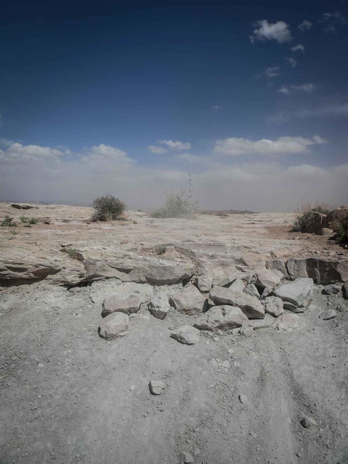
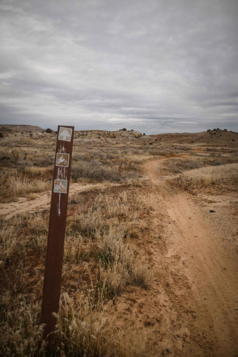
Off-Road Trails in Utah

Discover off-road trails in Utah

Learn more about Abajo Peak Trail
Abajo Peak Trail

Abajo Peak Trail

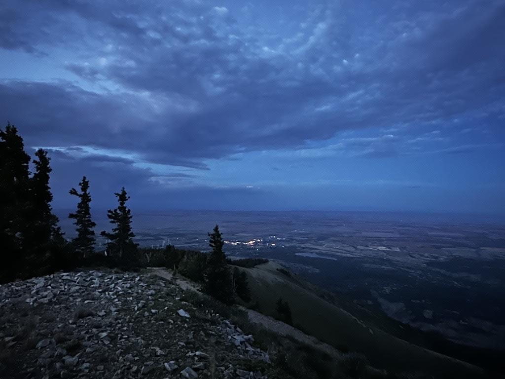
Welcome to the Abajo Peak Off-Road Trail! Nestled within the breathtaking wilderness of Monticello Utah, this mountain dirt off-road trail offers a delightful adventure for beginners and seasoned explorers alike. The trail is renowned for…
Learn more about Abajo Peak Trail
Total Miles
12.6
Tech Rating
2 Easy
Best Time
Summer, Fall
Learn more about Adobe
Adobe

Adobe

This is a short connector trail you can take to connect the Overlook Trails and the Mesa/Arch Loop to the Western Rim. It's a short trail, but full of technical challenges and amazing views. It…
Learn more about Adobe
Total Miles
1.6
Tech Rating
6 Moderate
Best Time
Fall, Spring
Learn more about Agate Hills Road
Agate Hills Road

Agate Hills Road

This is a short 4x4 road in White Wash that goes from Ruby Ranch Road out to D7400. This is an easy Jeep road through a flat desert terrain that feels like it's heading into…
Learn more about Agate Hills Road
Total Miles
1.5
Tech Rating
2 Easy
Best Time
Spring, Winter, Fall
Learn more about Airport Connector
Airport Connector

Airport Connector

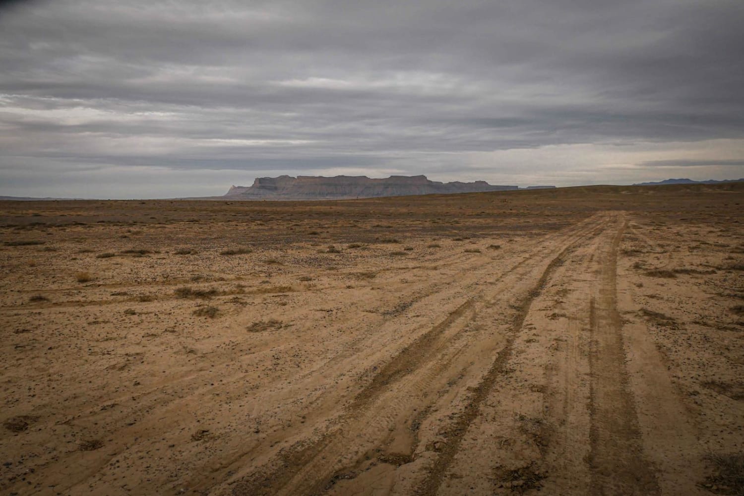
This trail starts halfway through Trail 9188 and climbs out of the wash up a steep dirt ledge on the north side of the wash. The rest of the trail is fast and flowy singletrack…
Learn more about Airport Connector
Total Miles
1.9
Tech Rating
2 Easy
Best Time
Fall, Spring
Learn more about Albinus Canyon- Elsinore Mountain Road- FS 40105
Albinus Canyon- Elsinore Mountain Road- FS 40105

Albinus Canyon- Elsinore Mountain Road- FS 40105

Albinus Canyon-Elsinore Mountain Road is a 7.3-mile point-to-point trail rated 2 of 10 located in Sevier County. The trail starts on the western side of the community of Elsinore and is the gateway into the…
Learn more about Albinus Canyon- Elsinore Mountain Road- FS 40105
Total Miles
7.3
Tech Rating
2 Easy
Best Time
Spring, Summer, Fall
Learn more about Alstrom Point - Rec Road 264
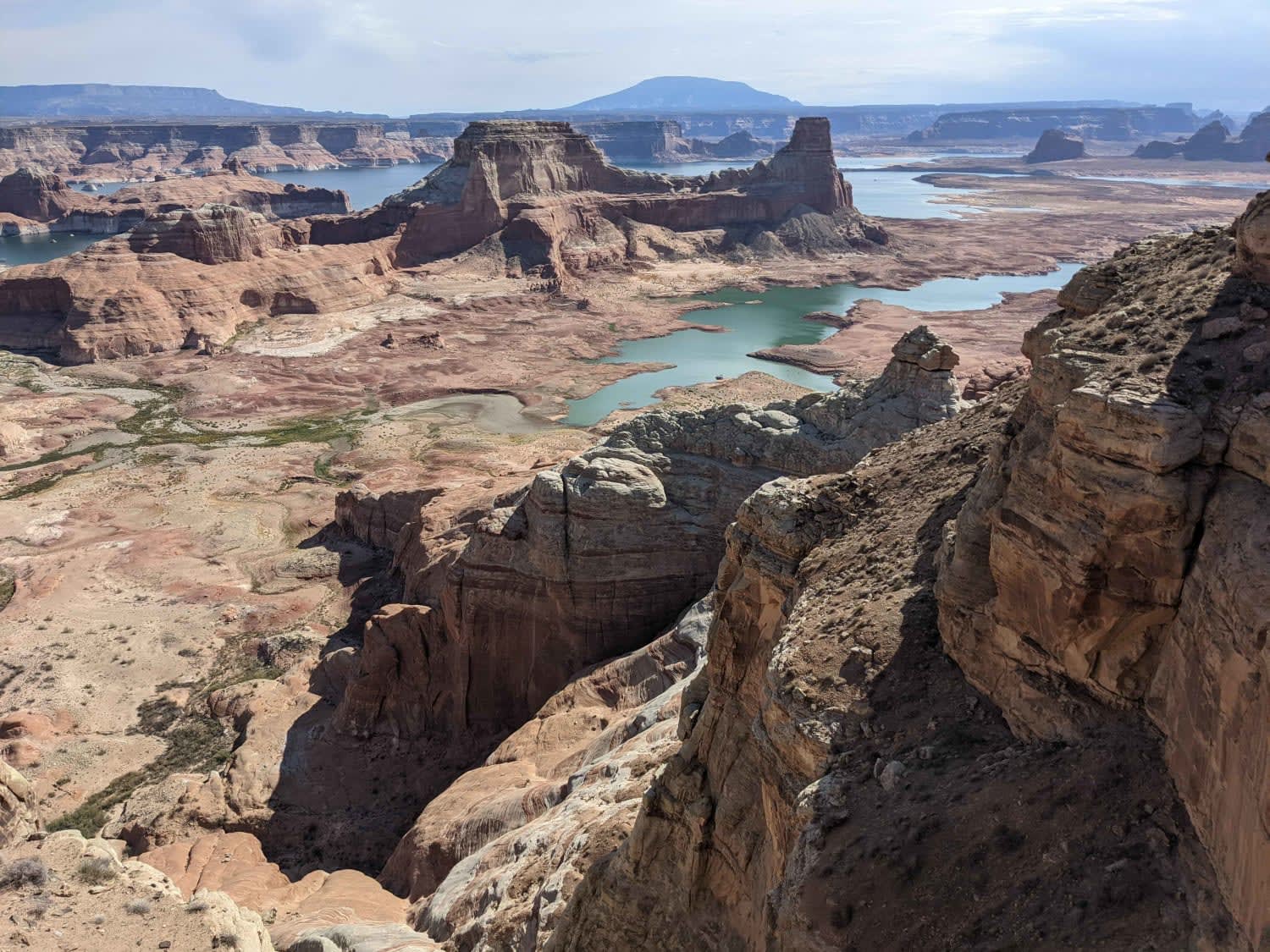
Alstrom Point - Rec Road 264

Alstrom Point - Rec Road 264

Unmaintained dirt road accessing Alstrom Point above Lake Powell in the Glen Canyon National Recreation Area. This is an easy drive out to a scenic viewpoint. It does have one section of a rock garden…
Learn more about Alstrom Point - Rec Road 264
Total Miles
6.9
Tech Rating
3 Easy
Best Time
Spring, Summer, Fall
Learn more about Alt Start Day Canyon Point Trail
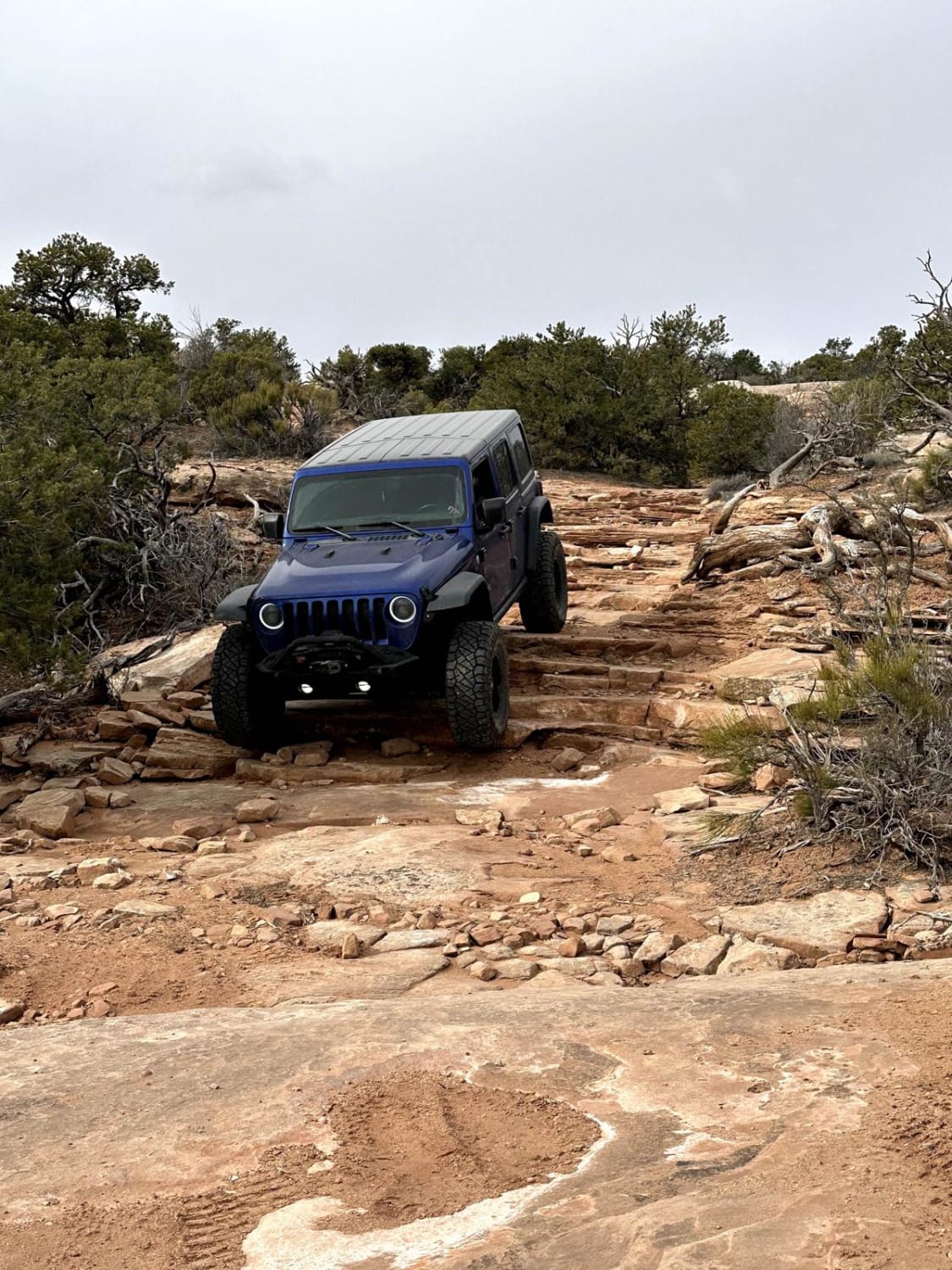
Alt Start Day Canyon Point Trail

Alt Start Day Canyon Point Trail

This 1-mile alternate start (or ending) for the Day Canyon Point Trail is a more challenging route than the start of the regular Day Canyon Point Trail. Several small ledges up to 18" in height…
Learn more about Alt Start Day Canyon Point Trail
Total Miles
0.9
Tech Rating
4 Moderate
Best Time
Spring, Summer, Fall
Learn more about Alta Dry Fork (FR 70198)
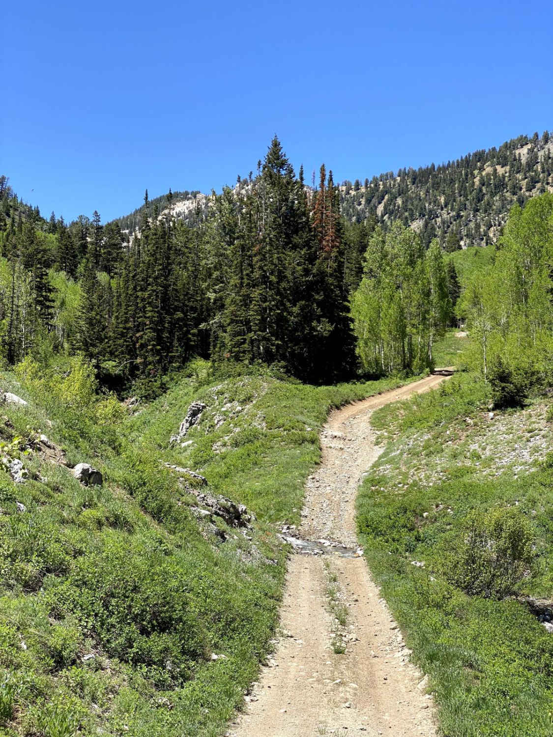
Alta Dry Fork (FR 70198)

Alta Dry Fork (FR 70198)

One of the most beautiful trails in the area, Alta Dry Fork will challenge beginners and offer some fun for intermediates. Ford low water crossings and navigate your way through pines, aspens, and verdant alpine…
Learn more about Alta Dry Fork (FR 70198)
Total Miles
2.0
Tech Rating
4 Moderate
Best Time
Summer, Fall
Learn more about Alternate Smith Canyon Access (FS# 4923)
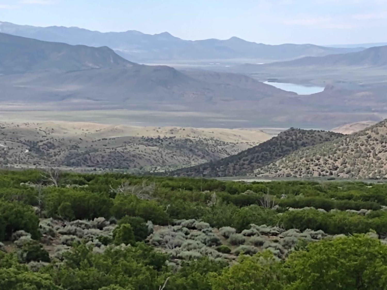
Alternate Smith Canyon Access (FS# 4923)

Alternate Smith Canyon Access (FS# 4923)

Forest Service #4923 is another route to access Smith Canyon. The trail moves up through pine trees and oak brush. In the fall, the colors in this area will be fantastic as the oak brush…
Learn more about Alternate Smith Canyon Access (FS# 4923)
Total Miles
0.8
Tech Rating
2 Easy
Best Time
Spring, Summer, Fall
Learn more about Alvies Bench (FR 70192)
Alvies Bench (FR 70192)

Alvies Bench (FR 70192)

Alvies Bench cuts through a shady aspen and pine forest. There is little camping right off the trail. However, an unnamed spur trail on the east side of Alvies Bench will head north and may…
Learn more about Alvies Bench (FR 70192)
Total Miles
3.3
Tech Rating
3 Easy
Best Time
Summer, Fall
Learn more about Amasa ATV Route 1
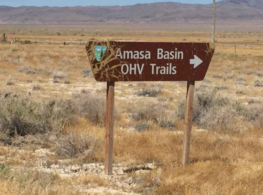
Amasa ATV Route 1

Amasa ATV Route 1

Amasa ATV Route 1 is a 19.1-mile point-to-point trail rated 3 of 10 located in Millard County, Utah. Route 1 is the longest of the 6 trails within the network. Route 1 starts in the…
Learn more about Amasa ATV Route 1
Total Miles
18.9
Tech Rating
3 Easy
Best Time
Spring, Summer, Fall, Winter
Learn more about American Fork Snake Creek
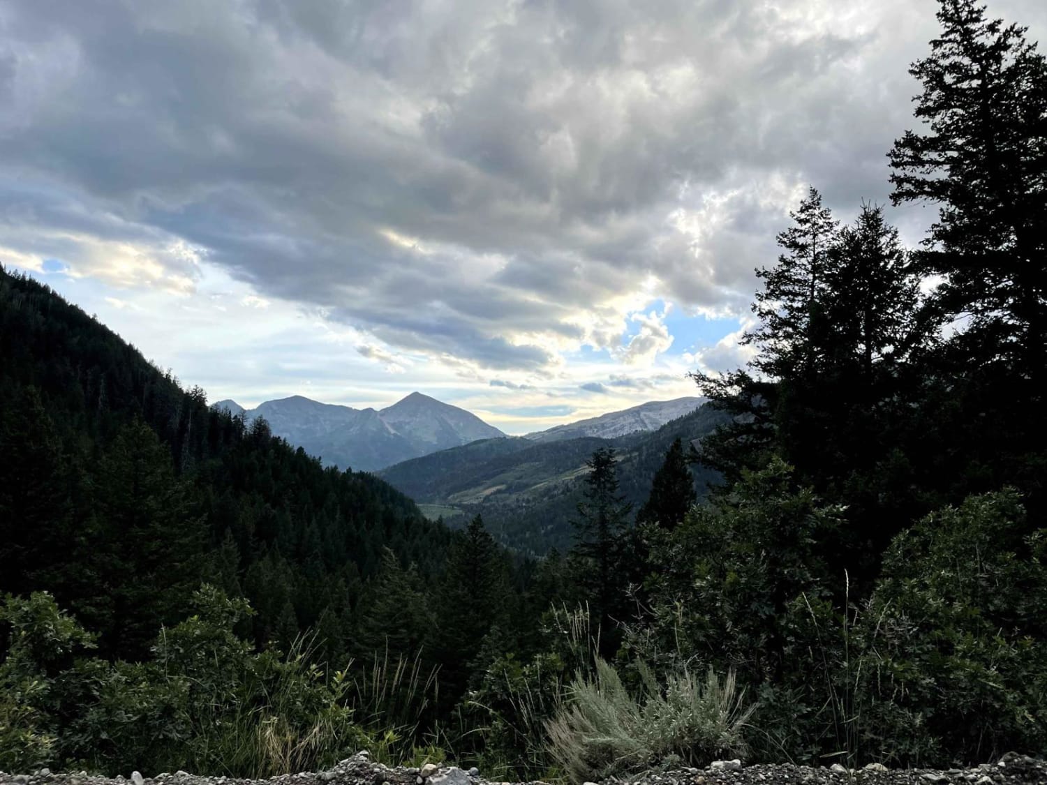
American Fork Snake Creek

American Fork Snake Creek

This trail is a low risk, high pay out trail with lots of jaw dropping views. The trail could honestly be done in a 2WD sedan if you don't explore any of the side trails.…
Learn more about American Fork Snake Creek
Total Miles
17.2
Tech Rating
1 Easy
Best Time
Summer, Fall
Learn more about Annabella Reservoir/Deep Lake - FS 40080
Annabella Reservoir/Deep Lake - FS 40080

Annabella Reservoir/Deep Lake - FS 40080

Just 3 miles west of Big Lake in southern Sevier County, Utah, you find Annabella Reservoir and Deep Lake. The trail goes through private land, but access is permitted if one stays on the trail.…
Learn more about Annabella Reservoir/Deep Lake - FS 40080
Total Miles
3.3
Tech Rating
1 Easy
Best Time
Spring, Summer, Fall
Learn more about Ant Flat Road Utah
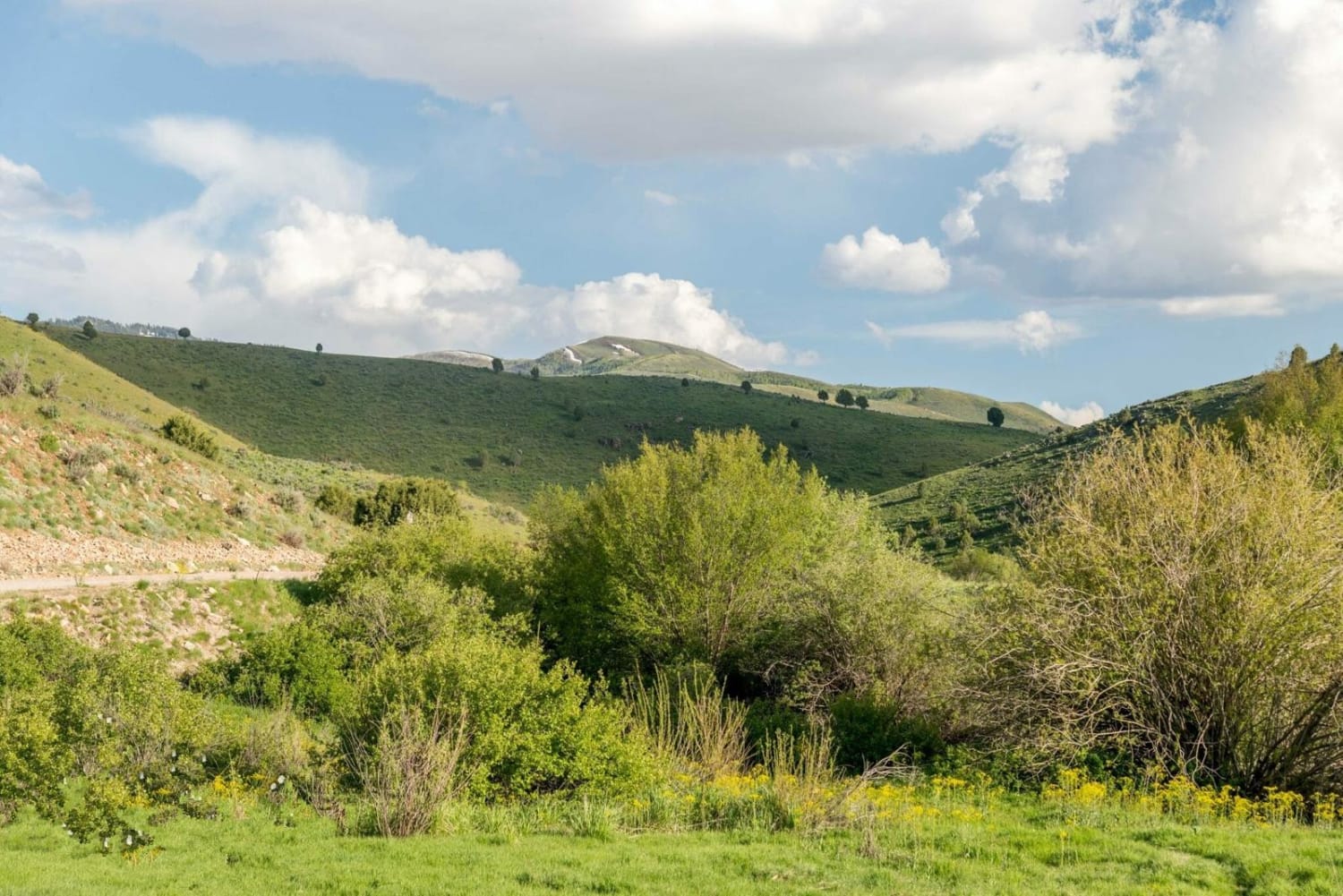
Ant Flat Road Utah

Ant Flat Road Utah

The Ant Flat Road is a pleasant and easy mountain drive that runs between Monte Cristo in Ogden Valley and Hardware Ranch in Cache County. The road is well graded making it very easy for…
Learn more about Ant Flat Road Utah
Total Miles
14.4
Tech Rating
1 Easy
Best Time
Spring, Summer, Fall, Winter
Learn more about Antelope Range Mining Tour
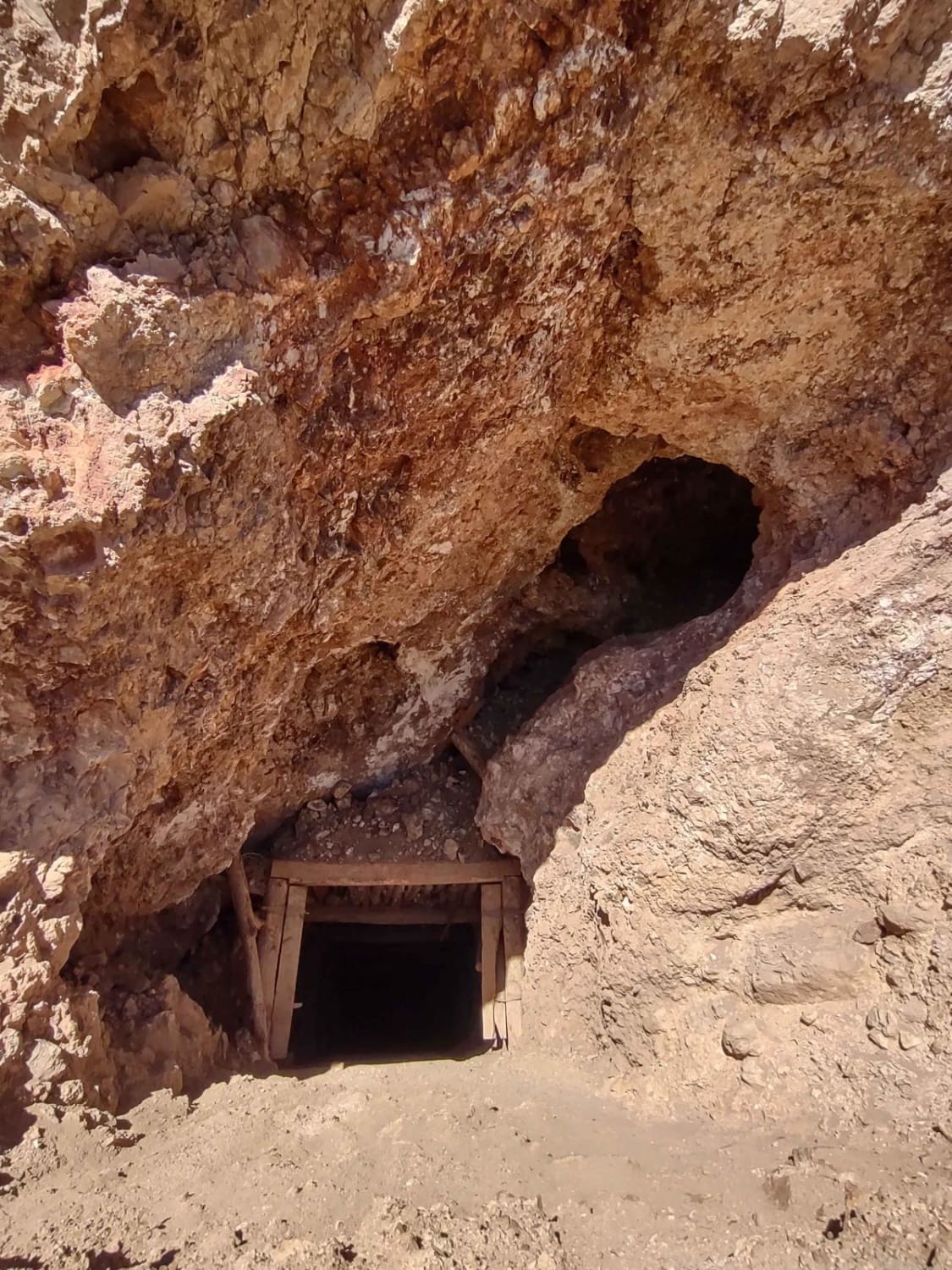
Antelope Range Mining Tour

Antelope Range Mining Tour

The Antelope Range Mining Tour begins on the west end in an area called Poverty Flat on the BLM maps. Several trails in this area are also called Poverty Flat. This track takes you to…
Learn more about Antelope Range Mining Tour
Total Miles
8.3
Tech Rating
3 Easy
Best Time
Spring, Summer, Fall
Learn more about Antelope/Honeymoon Trail (North)
Antelope/Honeymoon Trail (North)

Antelope/Honeymoon Trail (North)

This trail is a well-maintained gravel road that provides a shortcut between the ranches to the south to Hurricane City. It does connect to Highway 59 in the north. However, this route does not take…
Learn more about Antelope/Honeymoon Trail (North)
Total Miles
14.6
Tech Rating
2 Easy
Best Time
Winter, Fall, Summer, Spring
Learn more about Antones Hollow Trail
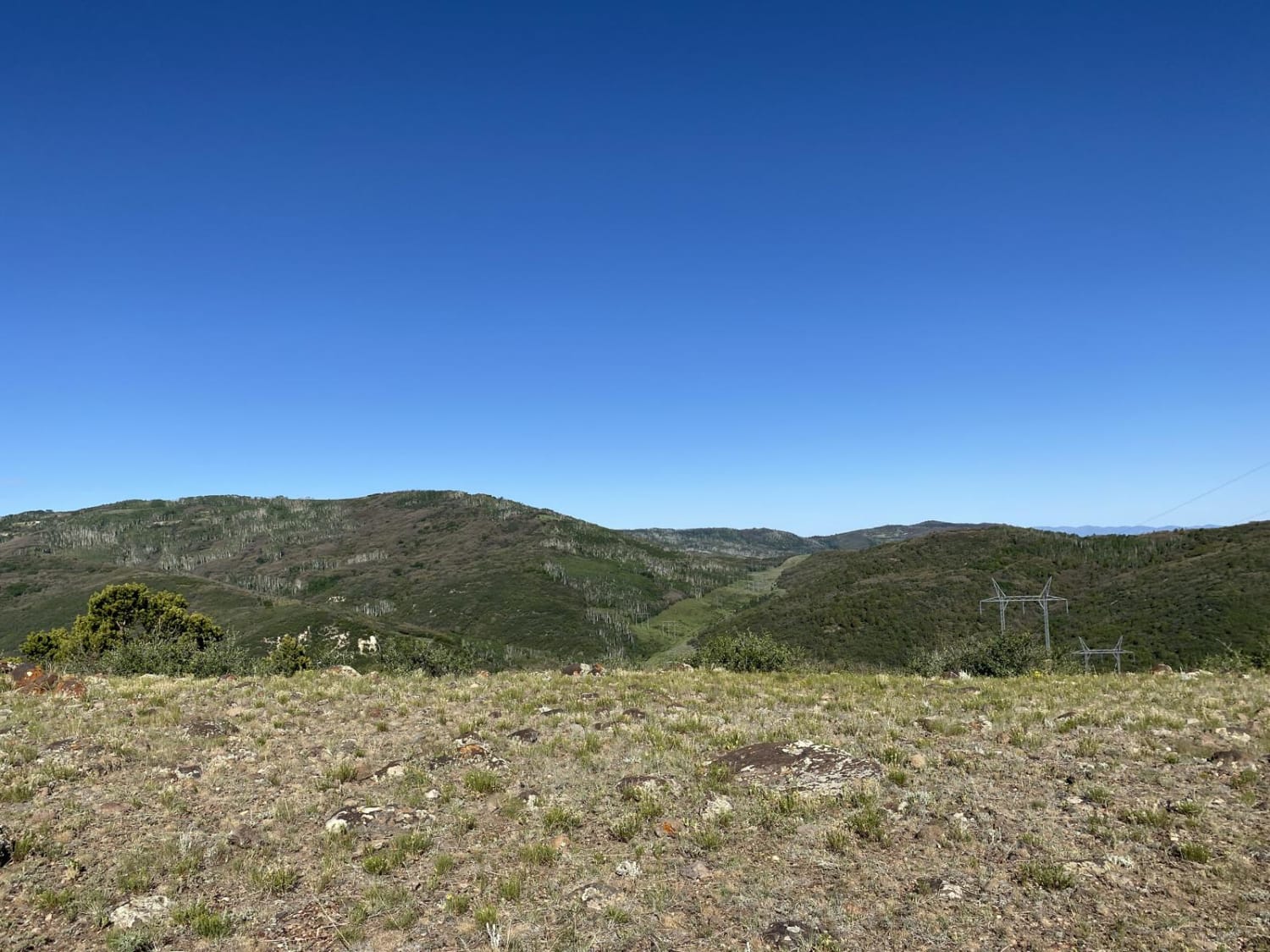
Antones Hollow Trail

Antones Hollow Trail

This trail is very scenic. When entering from Browns Hole, the trail borders a creek passing through scrub oak with views of quaking aspen. This portion of the trail does have some short steep sections…
Learn more about Antones Hollow Trail
Total Miles
11.9
Tech Rating
4 Moderate
Best Time
Spring, Summer, Fall
Learn more about Apex Mine Road
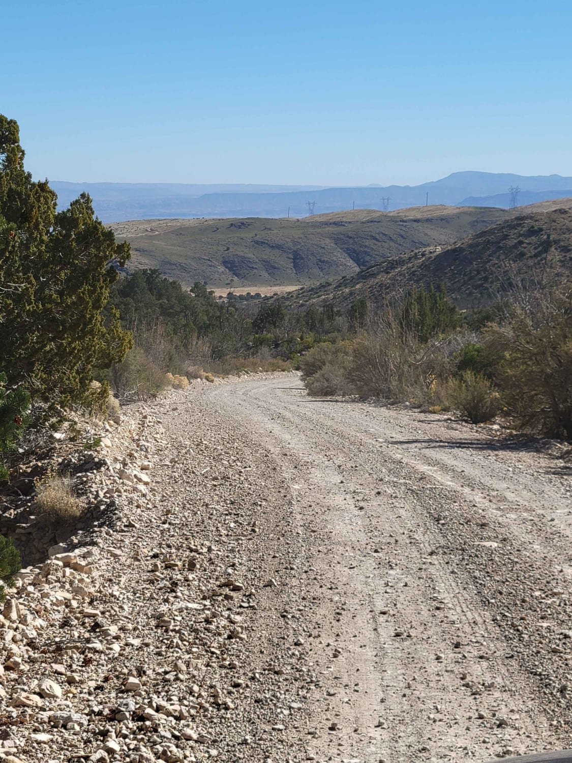
Apex Mine Road

Apex Mine Road

This short, easy dirt road weaves its way up into a small pocket of the Beaver Dam Mountains. The trail ultimately dead-ends at a turnaround spot. Mine tailings can be spotted up on the nearby…
Learn more about Apex Mine Road
Total Miles
1.6
Tech Rating
1 Easy
Best Time
Fall, Summer, Spring
Learn more about Aquarius Teasdale - NF154
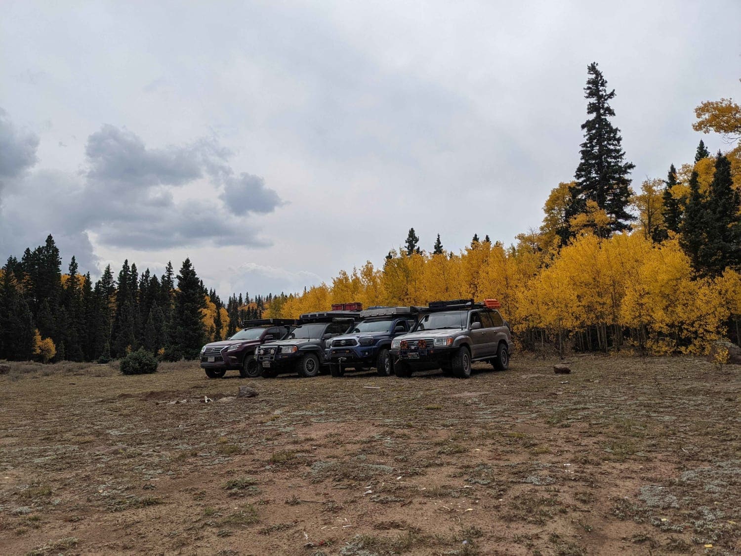
Aquarius Teasdale - NF154

Aquarius Teasdale - NF154

Easy gravel road climbing up onto Boulder Mountain above Escalante, UT. This road accesses Posey Lake, Cyclone Lake, and a number of high alpine lakes. Climbing over 9,500 feet, this is a great place to…
Learn more about Aquarius Teasdale - NF154
Total Miles
8.0
Tech Rating
1 Easy
Best Time
Spring, Summer, Fall
Learn more about Arapeen Ephraim Canyon to Joes Valley
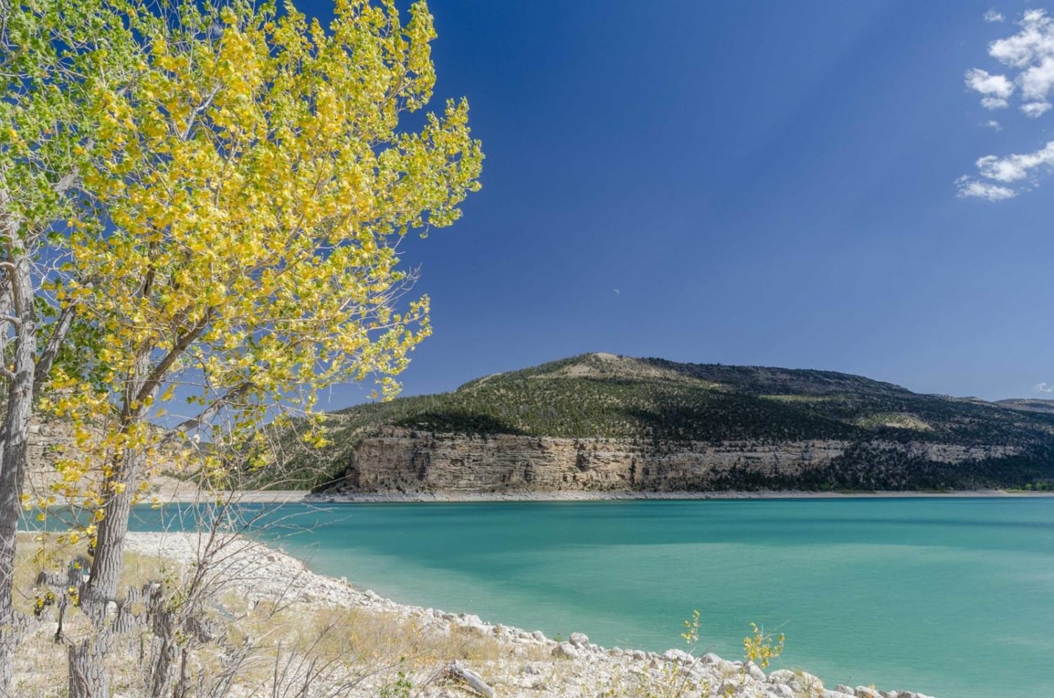
Arapeen Ephraim Canyon to Joes Valley

Arapeen Ephraim Canyon to Joes Valley

This trail climbs Ephraim Canyon to Skyline Drive before a few miles on Skyline. There is then a 50" trail that descends the back of the mountain to Joes Valley Reservoir before another trail climbs…
Learn more about Arapeen Ephraim Canyon to Joes Valley
Total Miles
41.8
Tech Rating
1 Easy
Best Time
Spring, Summer, Fall, Winter
1 2 3 4 5 6 7 8 9 10 ... 73

The onX Offroad Difference

onX Offroad combines trail photos, descriptions, difficulty ratings, width restrictions, seasonality, and more in a user-friendly interface. Available on all devices, with offline access and full compatibility with CarPlay and Android Auto. Discover what you’re missing today!