Explore Vermont Brookfield to Wells River
Total Miles
67.3
Technical Rating
Best Time
Summer, Fall
Trail Type
Full-Width Road
Accessible By
Trail Overview
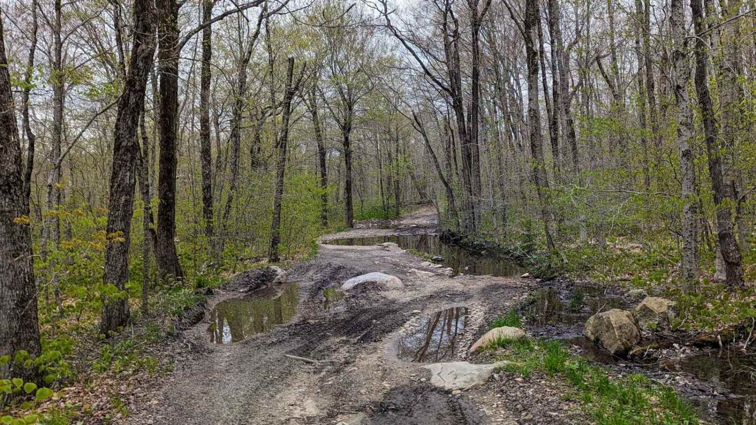
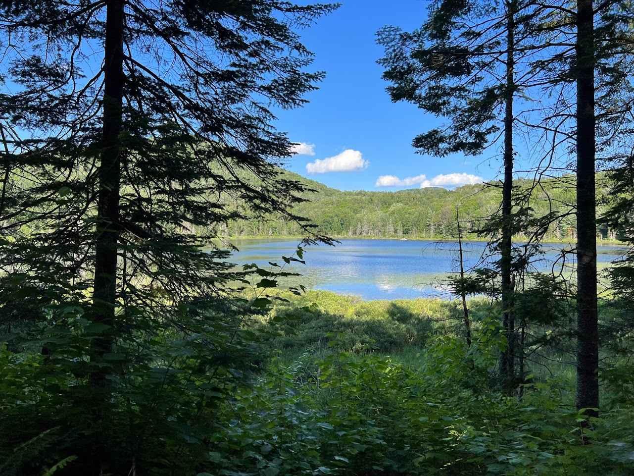
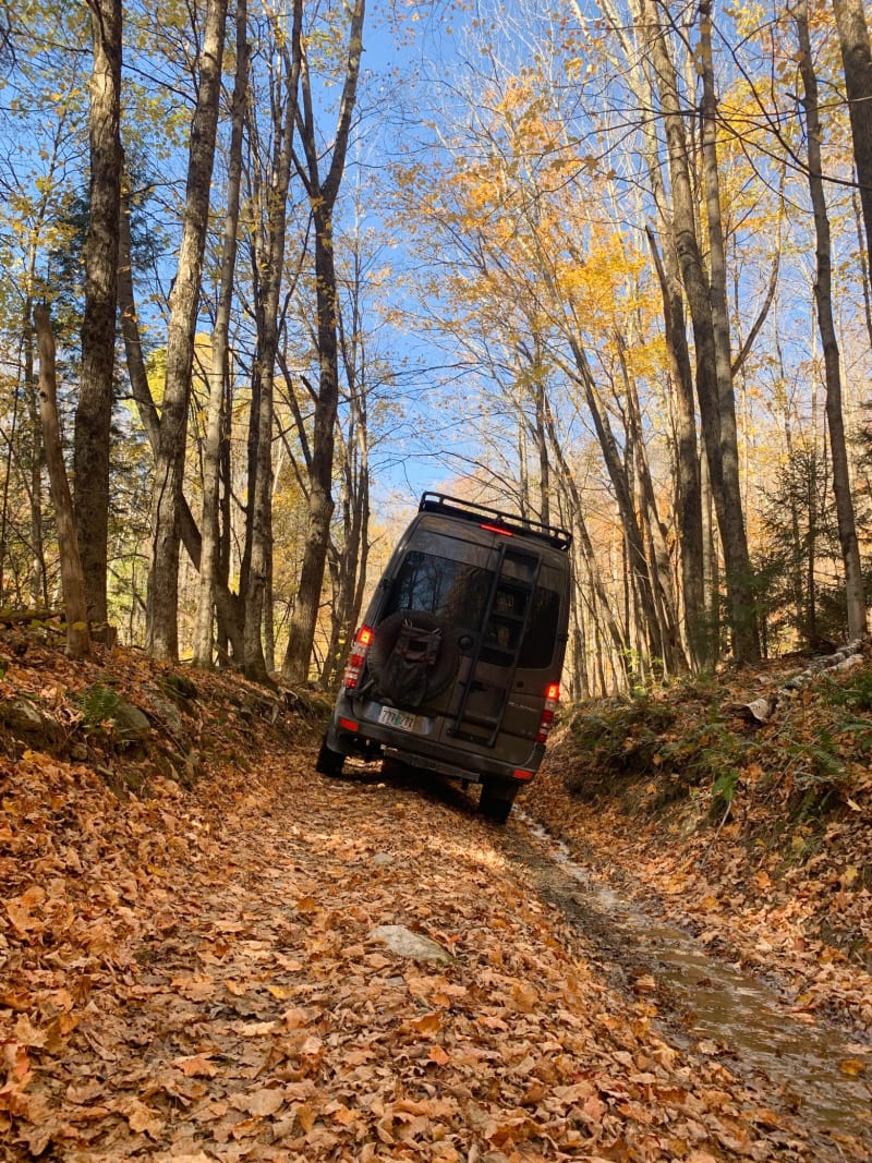
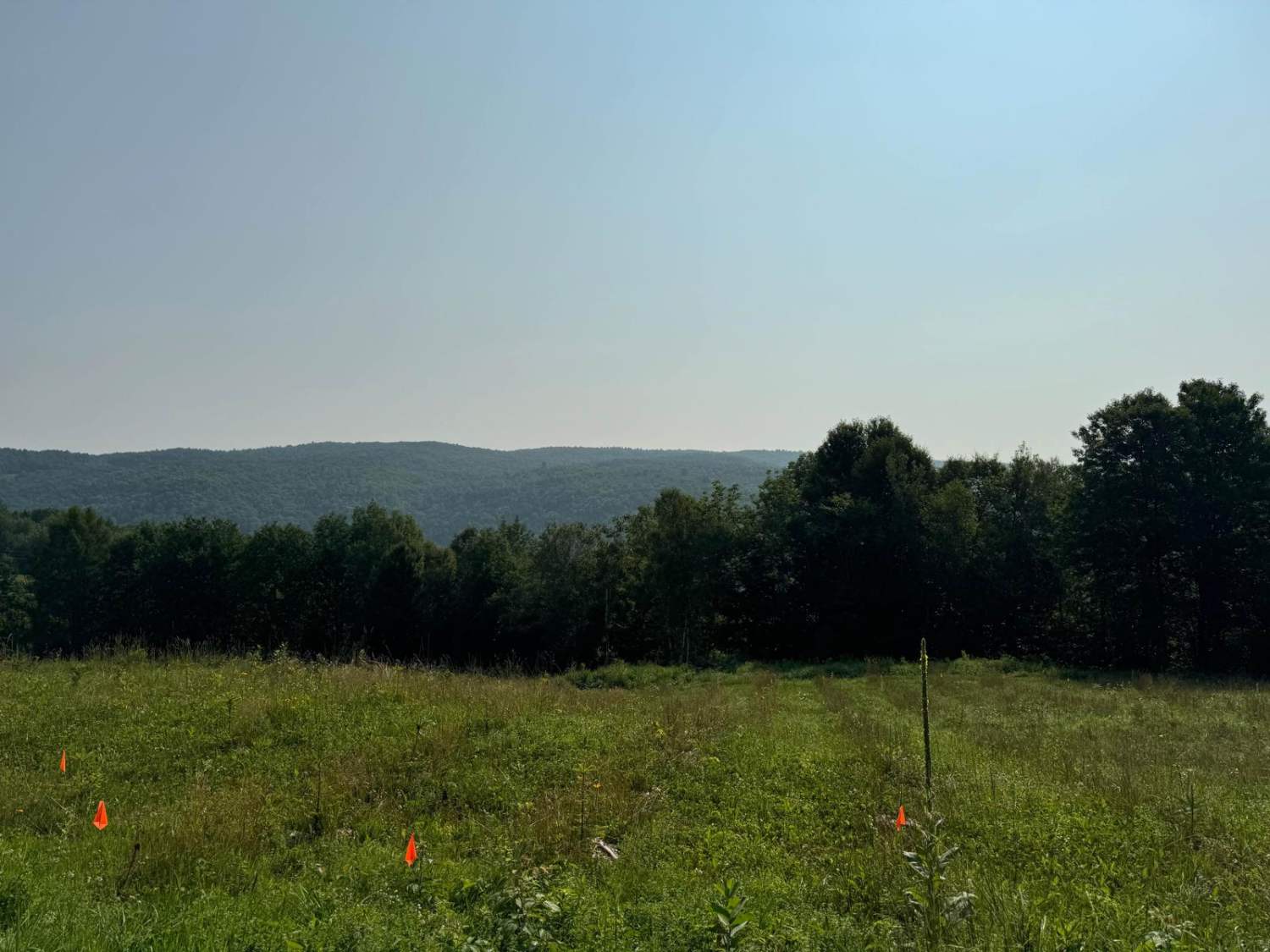
An amazing way to see real Vermont with never-ending views and just technical enough to keep you thinking. The route is a mix of dirt roads and class four roads with minimal pavement, probably only 10 miles total. If it has rained in the last few days the difficulty will increase a bit there are a number of spots that will hold water. There is very limited cell coverage for the entire thing so be prepared with downloaded maps. A stock 4x4 should be fully able to complete with some good spotting. This is one of the best I've mapped in Vermont so far.
Photos of Explore Vermont Brookfield to Wells River
Difficulty
The class four roads are in relatively good condition, but rain will increase the difficulty a bit. You will want to have ground clearance to avoid damage. There are very few drive-arounds for the technical portions.
Status Reports
Popular Trails

Risky Ranch Road (VT TR 302)

Wheeler Mountain Road

Beartown Road

Liberty Hill / FR 223
The onX Offroad Difference
onX Offroad combines trail photos, descriptions, difficulty ratings, width restrictions, seasonality, and more in a user-friendly interface. Available on all devices, with offline access and full compatibility with CarPlay and Android Auto. Discover what you’re missing today!


