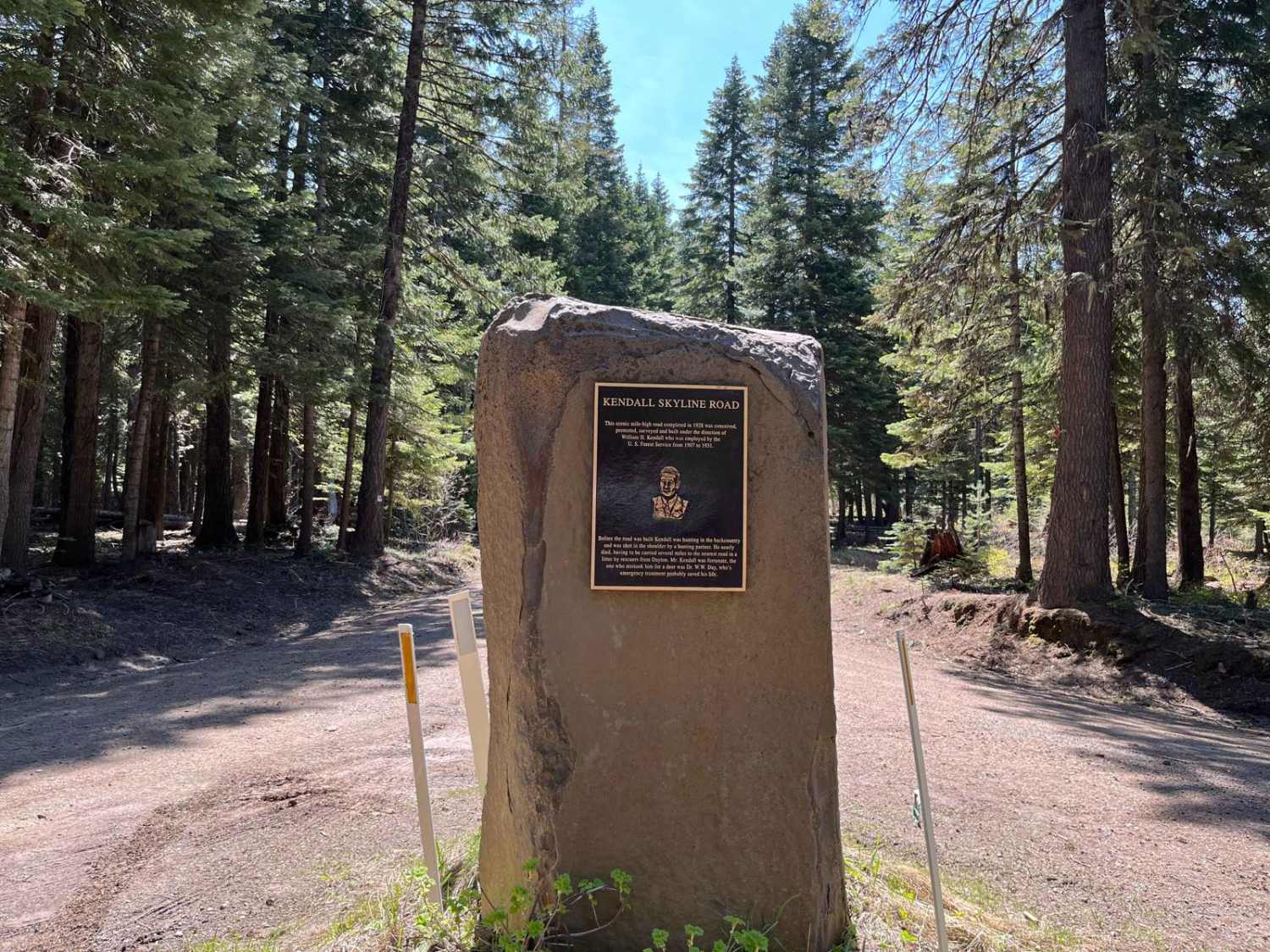
Kendall Monument Trail
Total Miles
21.5
Technical Rating
Best Time
Spring, Summer, Fall
Trail Type
Full-Width Road
Accessible By
Trail Overview
This route travels from the Kendall Monument to NF-64. It runs in either direction but is closed in the winter. It's not a difficult or technical trail, but it is slow-going due to potholes and generally rocky trail surfaces throughout. The southern end is accessible directly off of Touchet Road, and the northern end is right at the Kendall Monument at the summit of Patrick Grade. Cell service is spotty throughout the trip depending on your cellular carrier, so plan accordingly.
Photos of Kendall Monument Trail
Difficulty
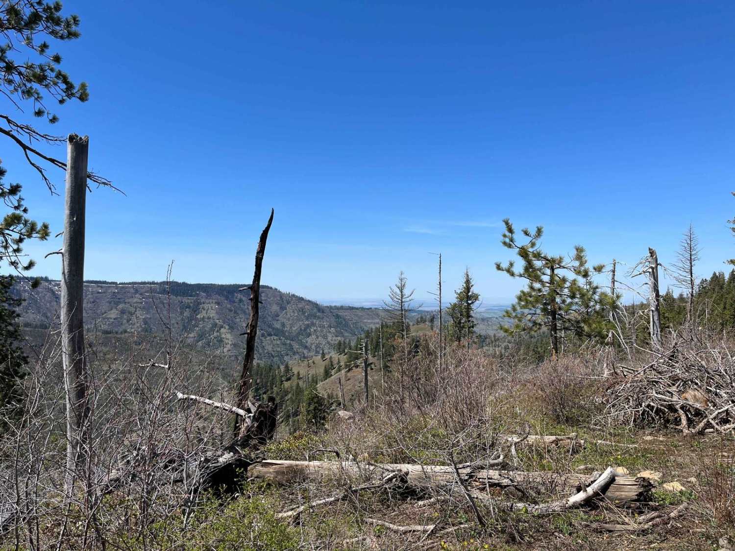
The trail is primarily forest two-track road with several areas of potholes and exposed rock making for a rough, slow travel surface.
Popular Trails
Northern Toats Coulee Road

Cougar Rock Connecting Trail
The onX Offroad Difference
onX Offroad combines trail photos, descriptions, difficulty ratings, width restrictions, seasonality, and more in a user-friendly interface. Available on all devices, with offline access and full compatibility with CarPlay and Android Auto. Discover what you’re missing today!
