Poch Peak Trail
Total Miles
4.2
Technical Rating
Best Time
Spring, Summer, Fall, Winter
Trail Type
Full-Width Road
Accessible By
Trail Overview
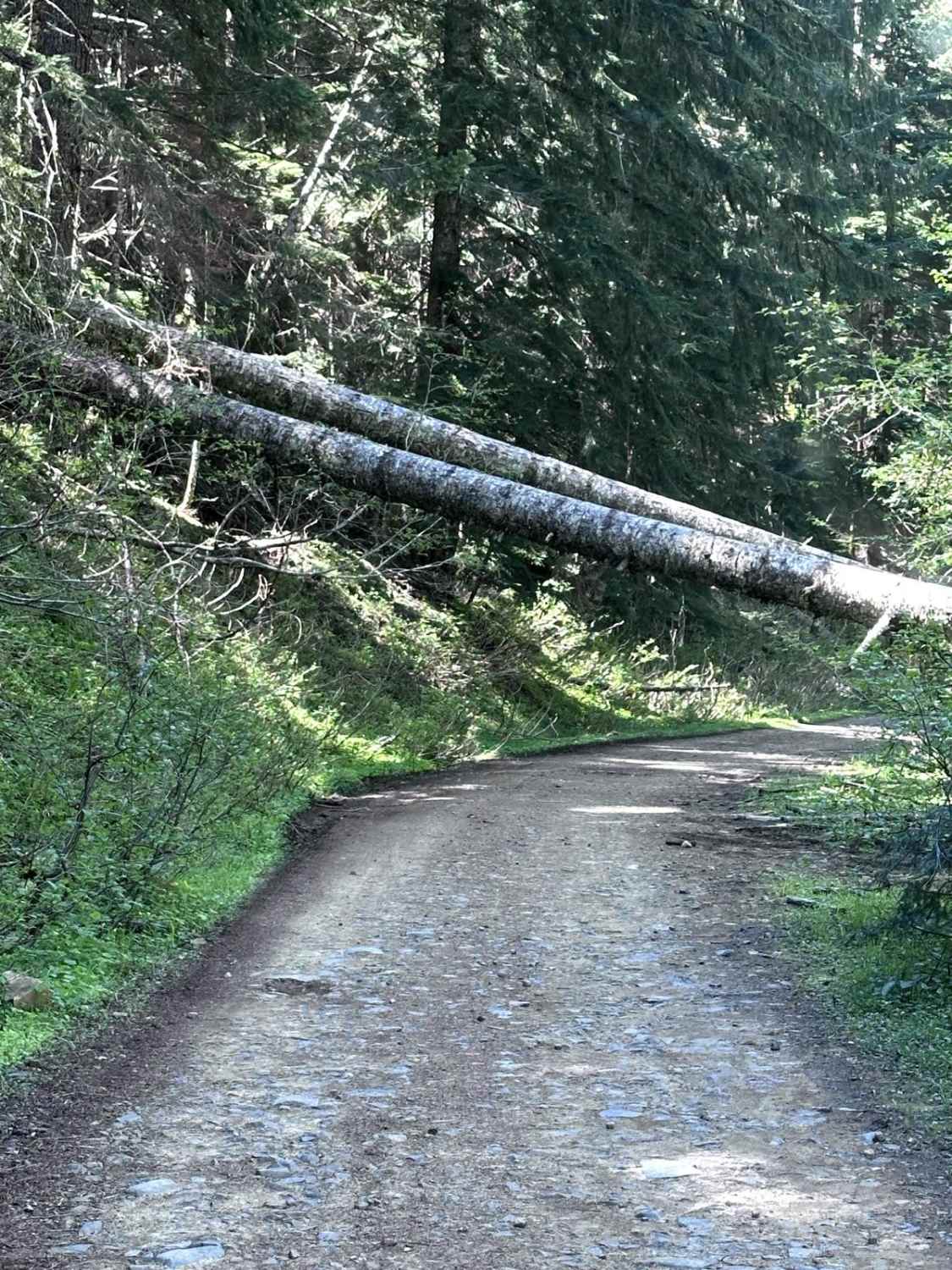
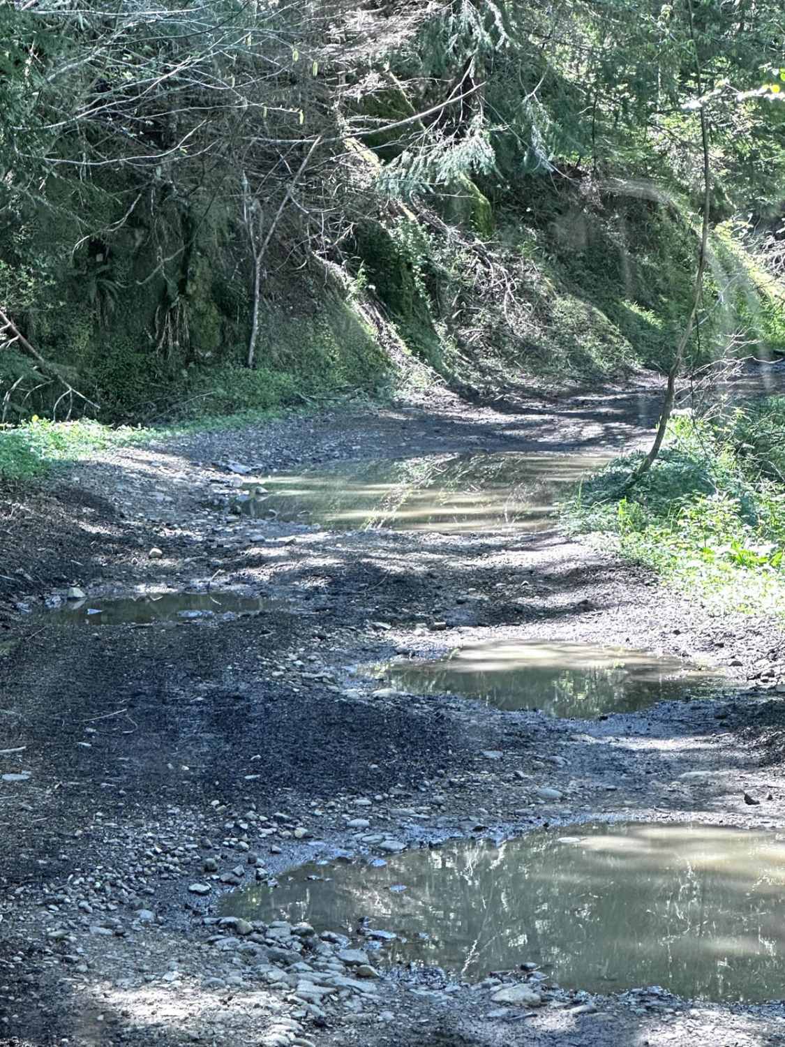
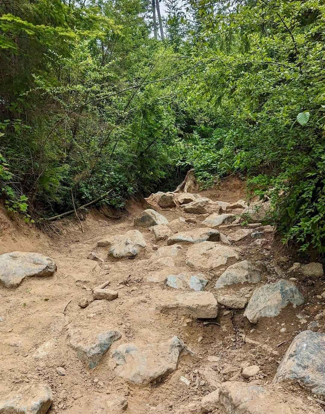
This 4.2-mile point-to-point trail starts at the Evans Creek Trailhead and goes up the west side of the ORV area. This trail is an easy drive with only shallow mud holes along the way. There is one washout that has short steep grades on each side. Several different trails are accessible from this trail.
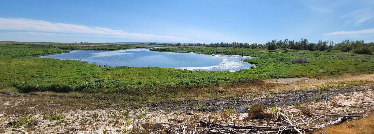
Photos of Poch Peak Trail
Difficulty
Expect shallow mud holes less than 12 inches in depth. There's one washed out area with steep grades in and out.
History
Evans Creek Trailhead provides access to 40 miles of combined 4WD and motorcycle/quad trails of varying difficulty. This is a fee area and requires a US Forest Pass or Interagency Pass.
Status Reports

Popular Trails

CG 1500 / CG 1400

North to South Trail
Expressway
The onX Offroad Difference
onX Offroad combines trail photos, descriptions, difficulty ratings, width restrictions, seasonality, and more in a user-friendly interface. Available on all devices, with offline access and full compatibility with CarPlay and Android Auto. Discover what you’re missing today!