Rocky Brook Road
Total Miles
11.7
Technical Rating
Best Time
Spring, Summer, Fall, Winter
Trail Type
Full-Width Road
Accessible By
Trail Overview
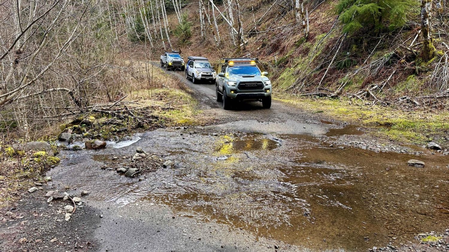
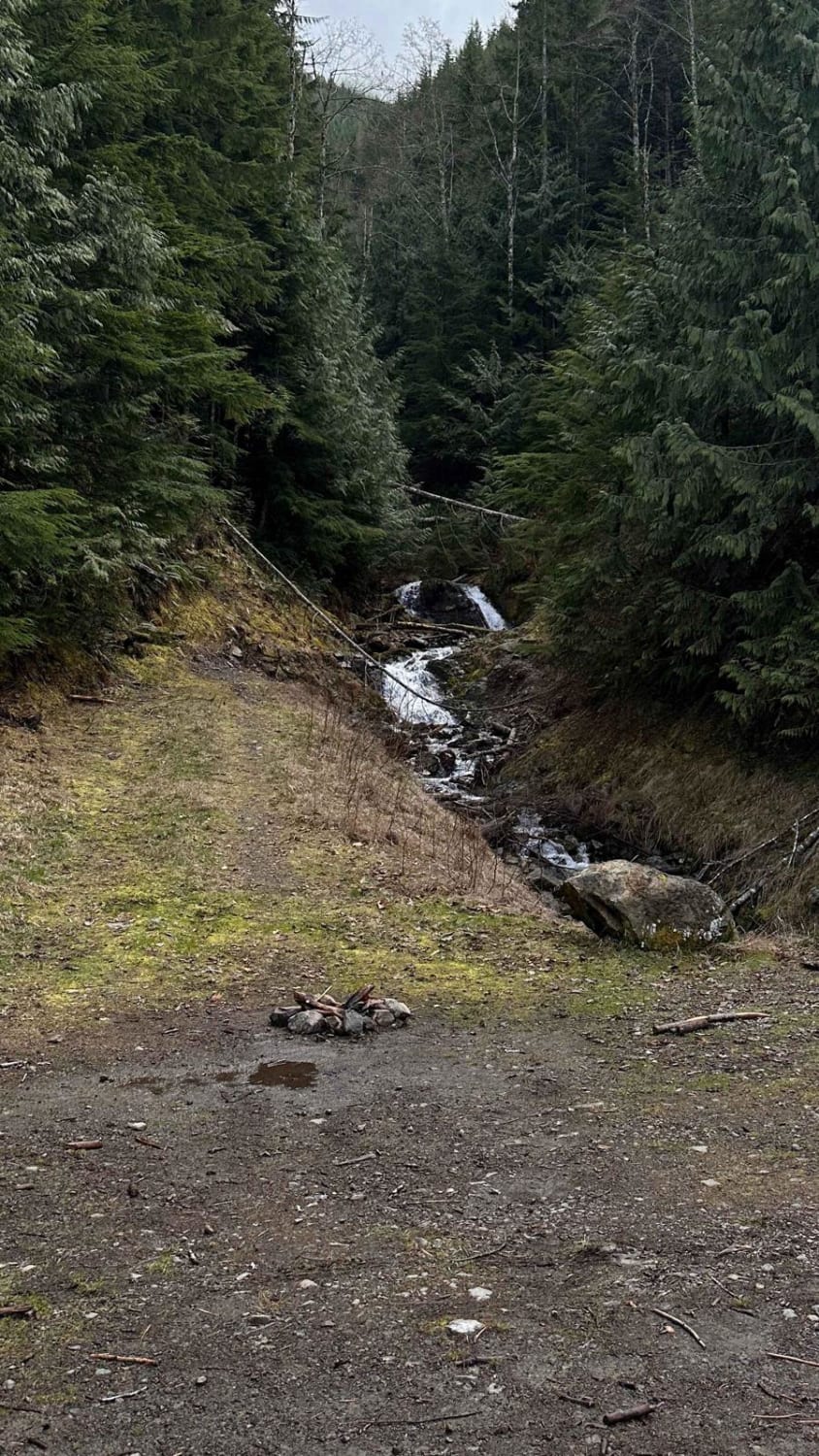
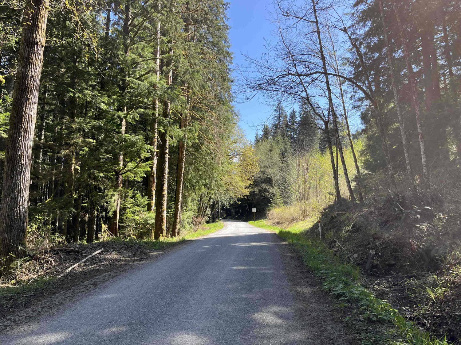
Rocky Brook Road starts on the 101 and will loop you back to the 101 via Dosewallips Road to the town of Brinnon. This road has some nice pull-over camp spots along the route and plenty of small waterfalls coming from the hillside. At the 2.2-mile mark, there is a water crossing known as the "Mile and a Half Creek" that has just a few inches of water flooding across the road. There are also a lot of downed trees that have recently been cut, so be prepared to turn around or be willing to cut trees if needed. This road is the main pass-through with a few spur trails to explore or hike.
Photos of Rocky Brook Road
Difficulty
This road has a few unavoidable potholes at the turn-off from the 101. There are some washouts that cross the road and are 6 to 8 inches deep but can be mostly avoided. There is one small water crossing that is only a few inches deep.
Status Reports
Popular Trails
Capitol Forest E-Line
Capitol Forest D-1000
Lake Cavanaugh Road

Little Brushy Road via Quilomene Ridge Road
The onX Offroad Difference
onX Offroad combines trail photos, descriptions, difficulty ratings, width restrictions, seasonality, and more in a user-friendly interface. Available on all devices, with offline access and full compatibility with CarPlay and Android Auto. Discover what you’re missing today!
