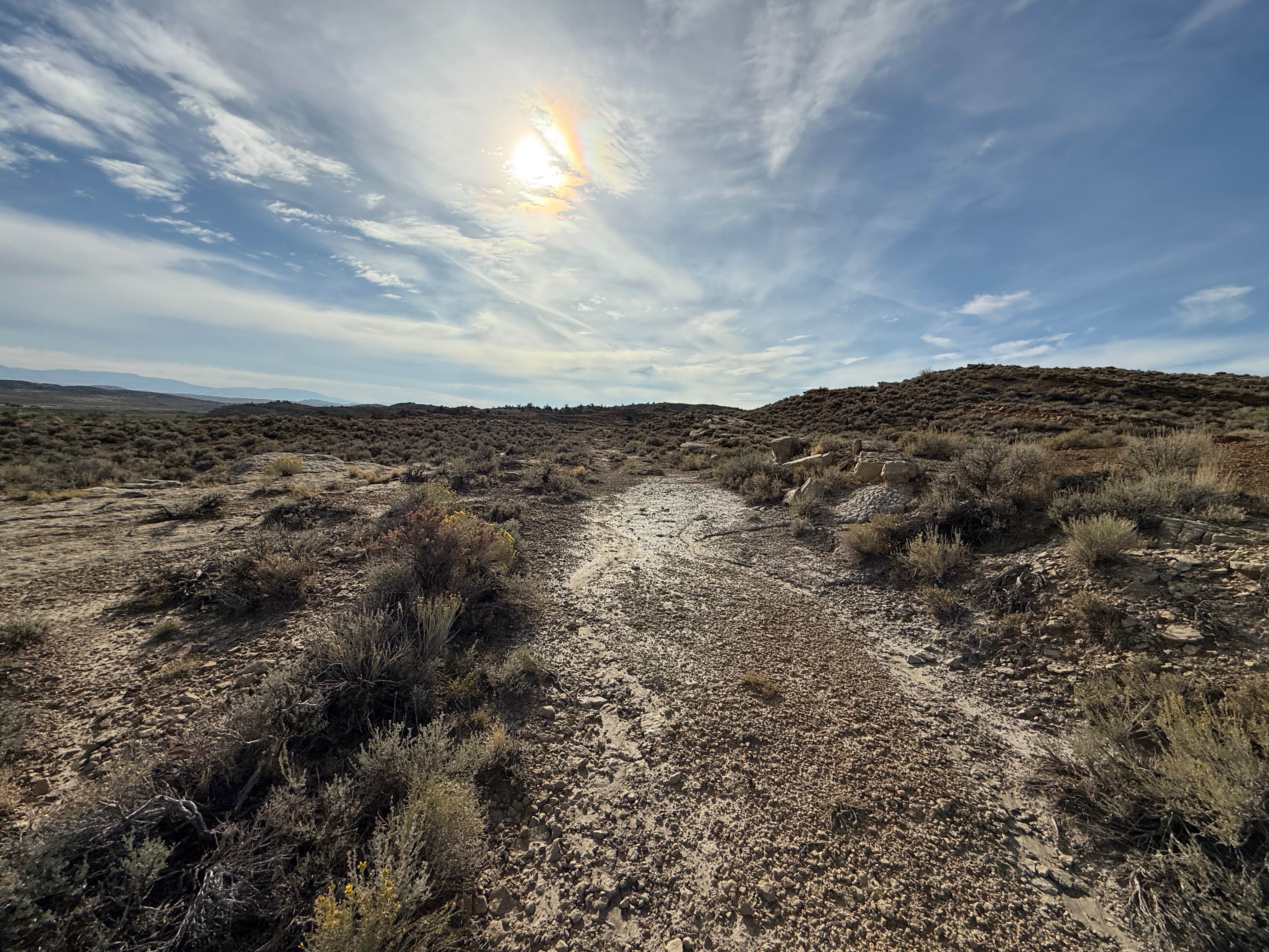
Clarks Fork Canyon
Total Miles
4.4
Technical Rating
Best Time
Summer, Fall
Trail Type
Full-Width Road
Accessible By
Trail Overview
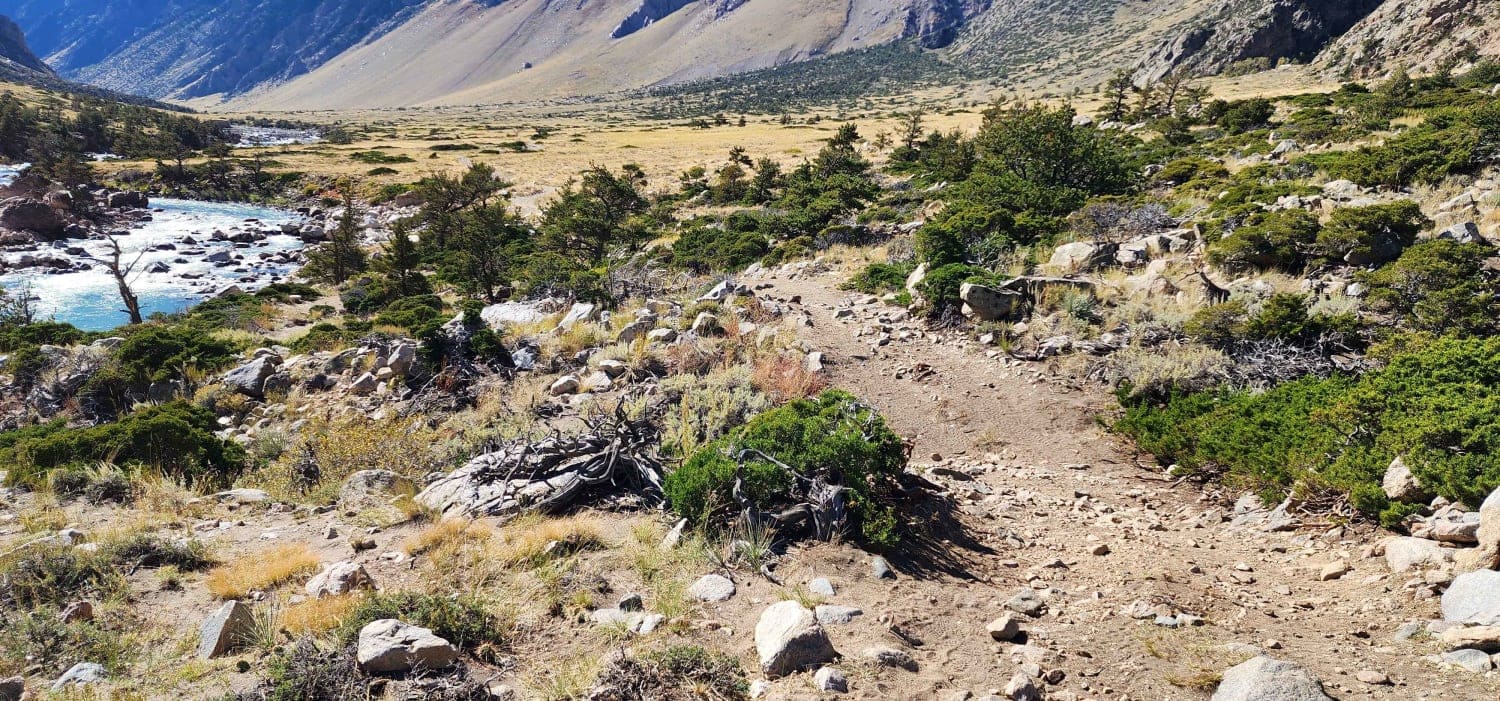
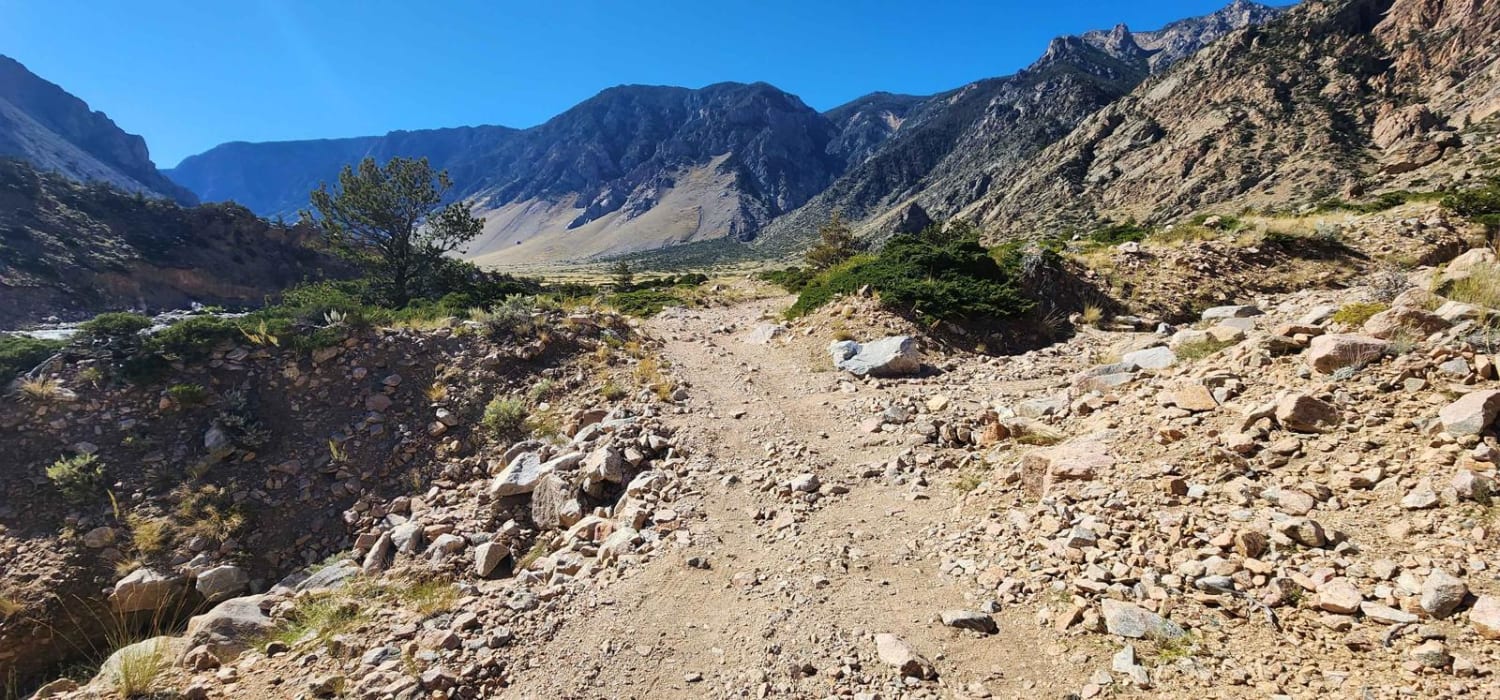
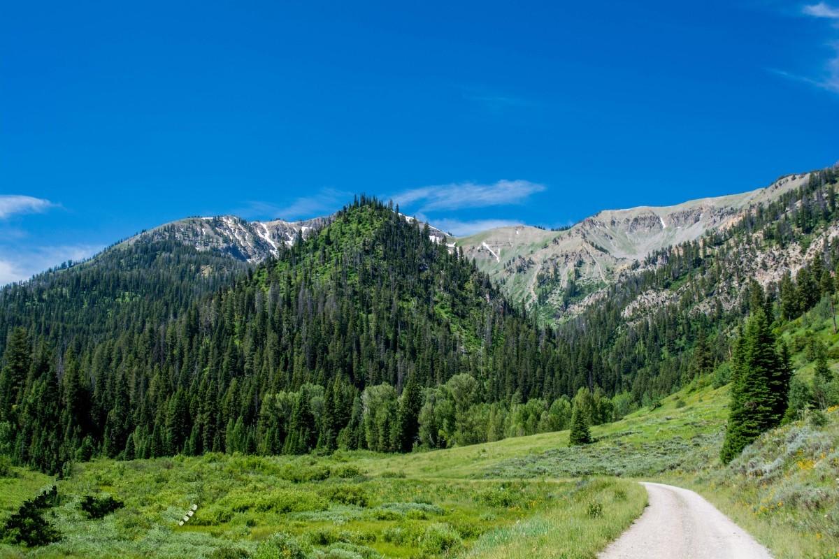
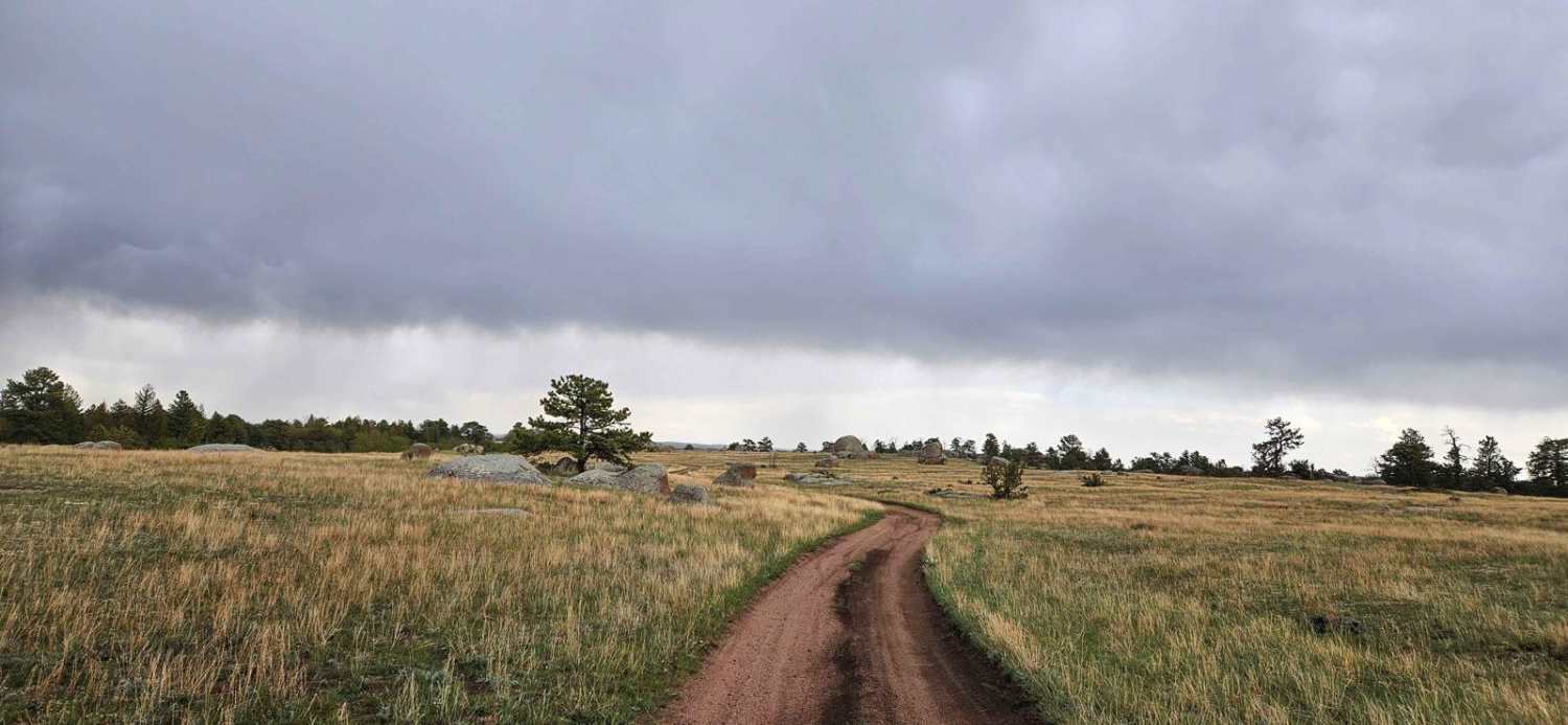
Clarks Fork Canyon is located in the Shoshone National Forest West of Clark, Wyoming. This is an out-and-back trail running East-West with a round trip distance of approximately 8 miles. Due to the flooding, the switchbacks are too treacherous to navigate with a vehicle, but it is still available to hike. This trail is easy with short technical areas containing sharp turns and large rocks. The road is mostly loose rocks and sandy washes. It is not well maintained, but it is clearly defined and easy to follow. Clarks Fork Canyon is home to Clarks Fork Yellowstone River which has world-class fly fishing and many stunning views of the Beartooth Mountains. This route also has a hike to Bridal Veil Falls, which is a quick walk up a side canyon following Falls Creek to a beautiful waterfall. There is no cell service anywhere in the canyon, so download all the needed maps before you leave. This is grizzly bear country, so bring bear spray or a firearm.
Photos of Clarks Fork Canyon
Difficulty
Most of the trail is rocky but doable with a high clearance 4x4. There are short sections with steep grades, large rocks, and sandy washouts that make this trail difficult. This trail was should be drive-able with a short SUV 4x4 with high clearance. It is not recommended to attempt this trail with a full-size truck due to the washout redirects and narrow parts of the route.
Status Reports
Clarks Fork Canyon can be accessed by the following ride types:
- High-Clearance 4x4
- SUV
- SxS (60")
- ATV (50")
- Dirt Bike
Clarks Fork Canyon Map
Popular Trails
Toppings Lake Trail Loop
The onX Offroad Difference
onX Offroad combines trail photos, descriptions, difficulty ratings, width restrictions, seasonality, and more in a user-friendly interface. Available on all devices, with offline access and full compatibility with CarPlay and Android Auto. Discover what you’re missing today!
