Fools Creek (FSR 178) - Ice Creek (FSR 142)
Total Miles
6.8
Elevation
3,026.66 ft
Duration
1 Hours
Technical Rating
Best Time
Spring, Summer, Fall
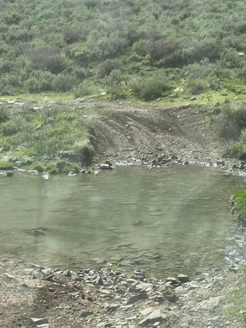
Trail Overview
Fools Creek to Ice Creek Trail starts near where Highway 14A crosses the North Tongue River. You can access it from Hunt Mtn Rd (with only a short ride on the the pavement) or down from Burgess Junction. You travel north and east, reaching almost 10,000 feet in elevation. The trail includes some steep inclines and some areas of rocky trail, and once you get over to Ice Creek (FSR 142), you find mud holes, deep ruts, water crossings, and a lot more fun! Ice Creek detours from Fools Creek and runs north to the Burgess Trail. Keep your eyes open for deer, elk, and moose, which are plentiful in this area. The scenery is simply spectacular!
Photos of Fools Creek (FSR 178) - Ice Creek (FSR 142)

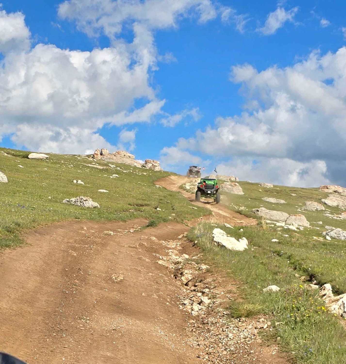
Difficulty
Steep inclines on rocky slopes and deep mud holes and water crossings. We rode this trail in mid July. Earlier in the spring it will be deeper and muddier from run-off. A great trail that's not hard, but good ground clearance is required. A winch may come in handy if you get stuck in the mud.
Status Reports
Popular Trails

Little Rock (FS 368)

Nickel Creek Spur

Shale Creek - Kinney Creek Loop
The onX Offroad Difference
onX Offroad combines trail photos, descriptions, difficulty ratings, width restrictions, seasonality, and more in a user-friendly interface. Available on all devices, with offline access and full compatibility with CarPlay and Android Auto. Discover what you’re missing today!