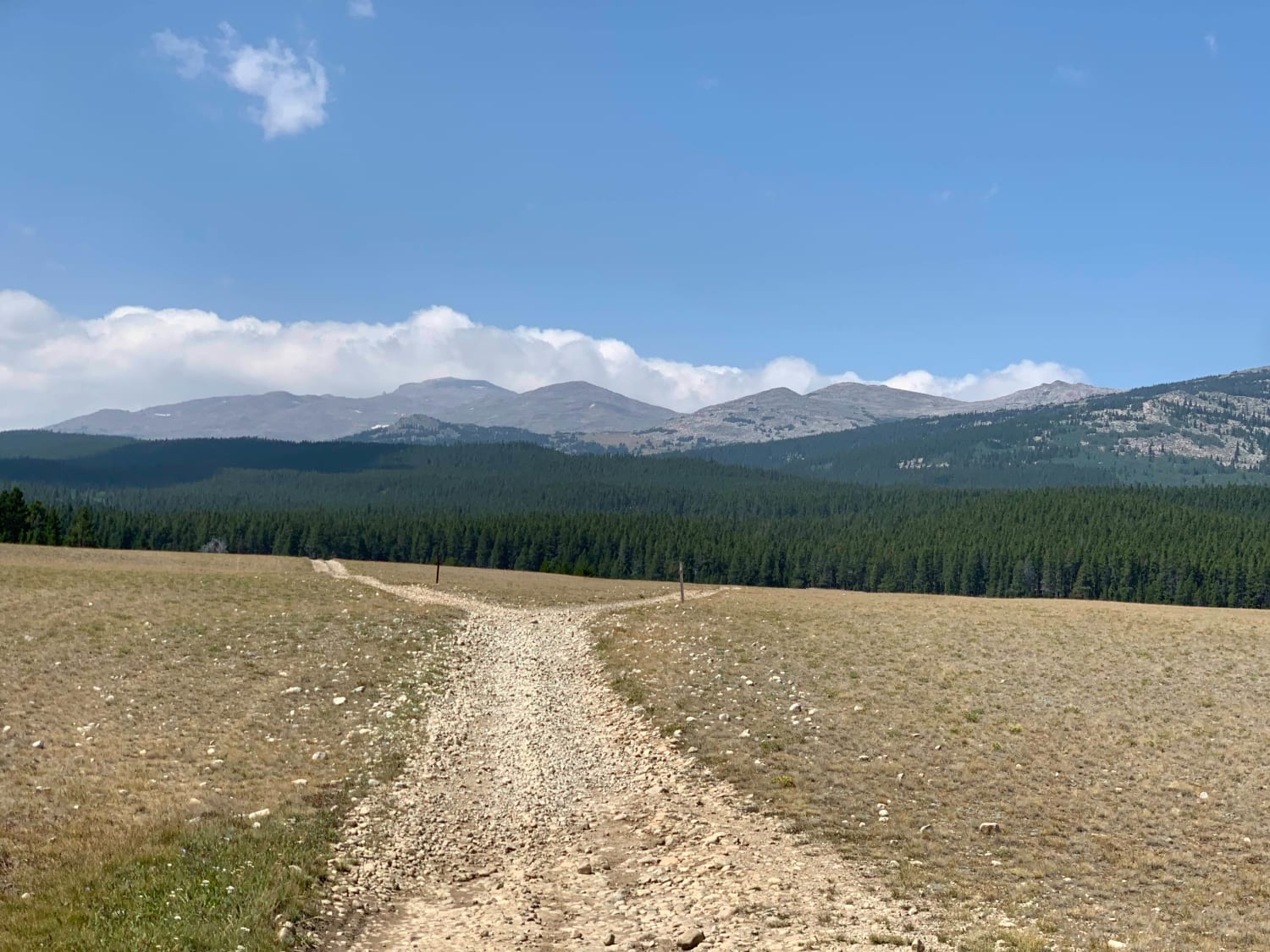
Nickel Creek Spur
Total Miles
2.3
Technical Rating
Best Time
Spring, Summer, Fall, Winter
Trail Type
Full-Width Road
Accessible By
Trail Overview
This is a spur off of Nickle Creek. It is not maintained and can get rutted and muddy. However, the rutted sections can be straddled, and the muddy areas have bypasses. If you are driving this counterclockwise, there is a fairly steep section at the end that will challenge 2WD vehicles. Running in a clockwise direction would be a safer alternative. There is a nice hiking trail at the peak of this road that takes you down to Tongue River.
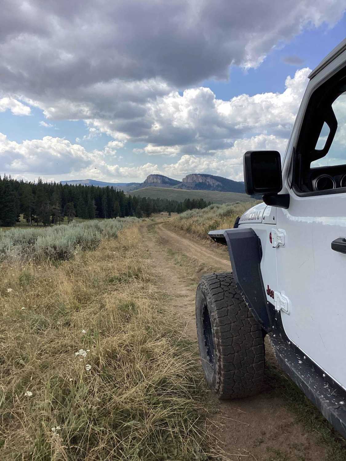
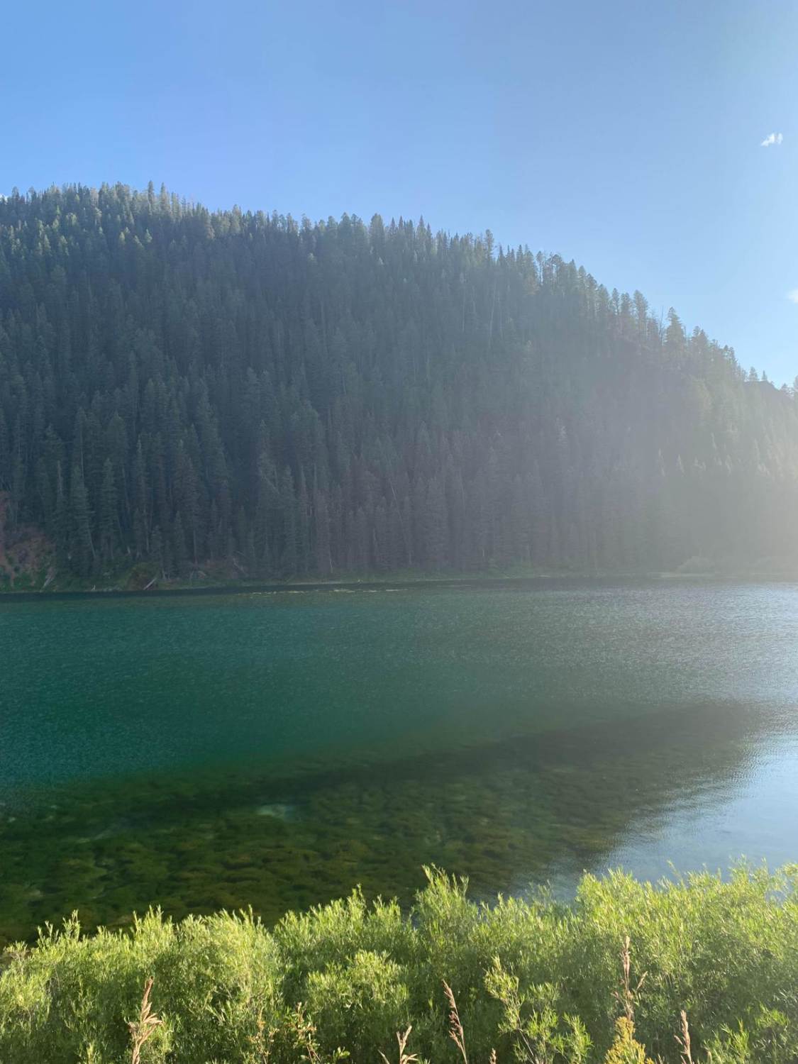
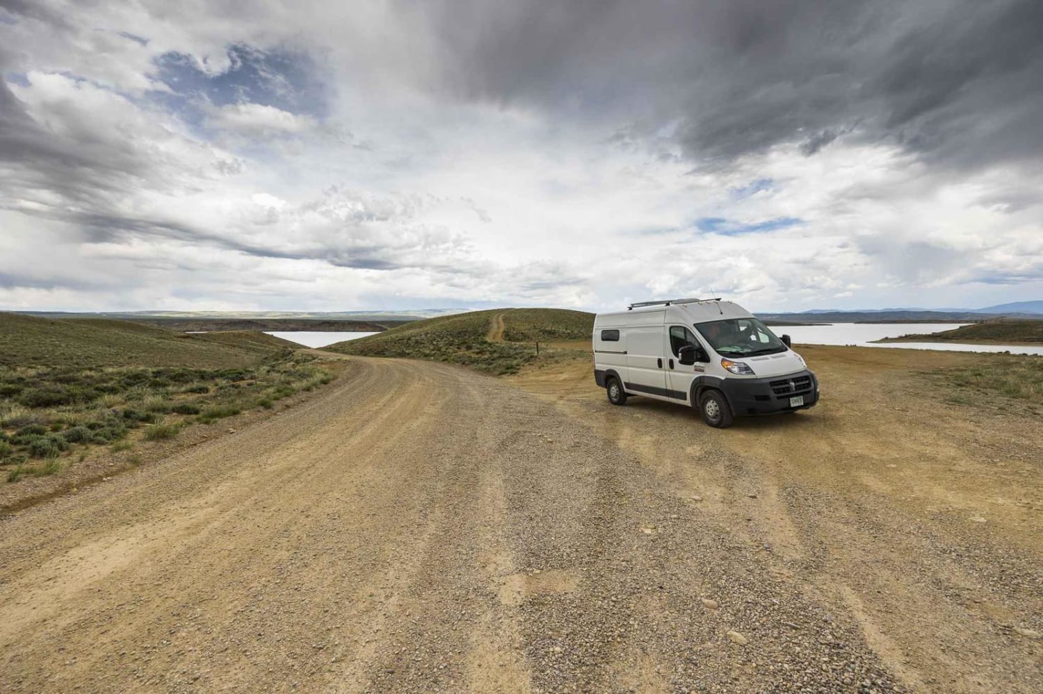
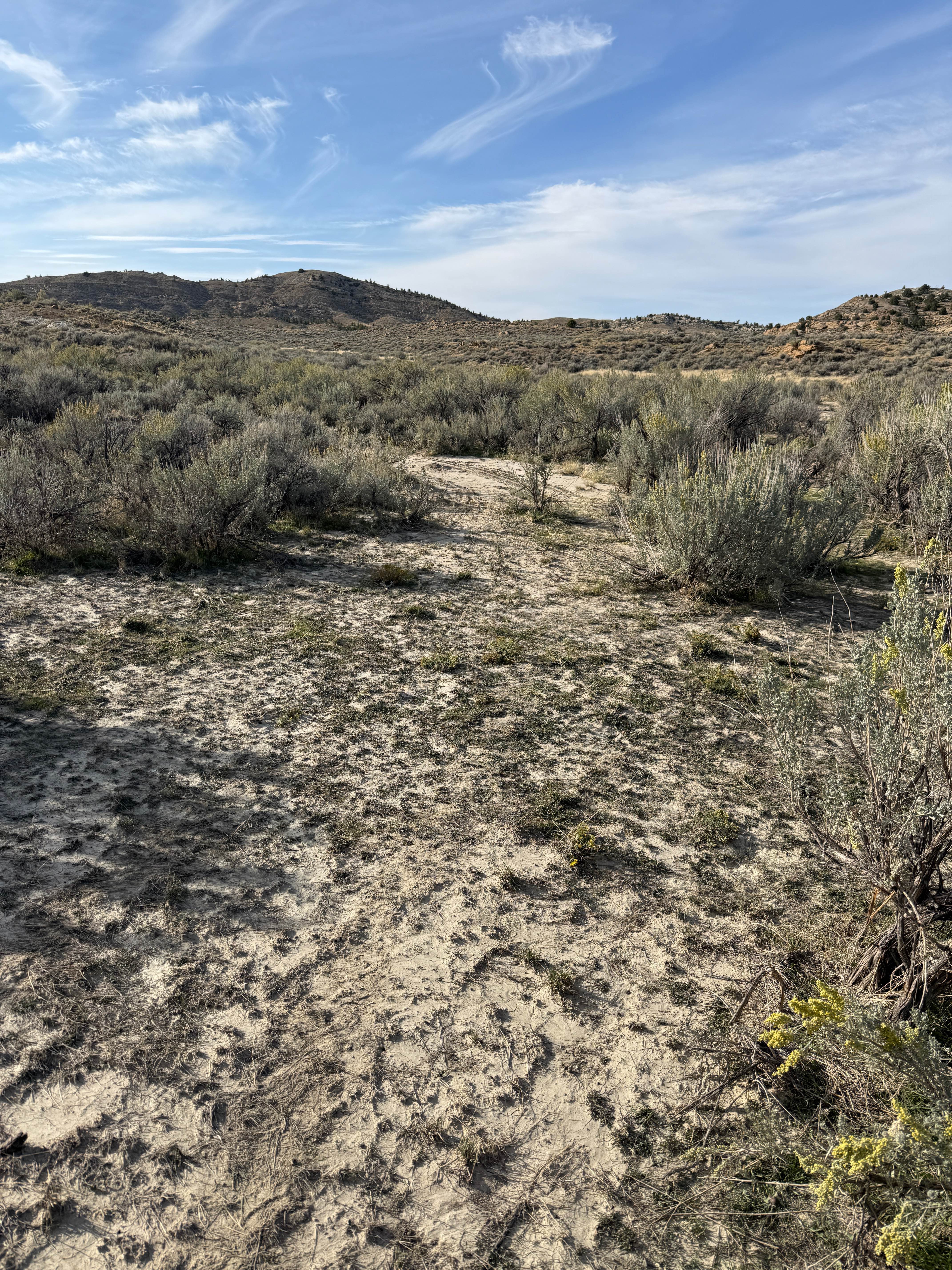
Photos of Nickel Creek Spur
Difficulty
There is a steep climb at the end of the trail if driving counter clockwise.
Status Reports
Nickel Creek Spur can be accessed by the following ride types:
- High-Clearance 4x4
- SUV
- SxS (60")
- ATV (50")
- Dirt Bike
Nickel Creek Spur Map
Popular Trails
The onX Offroad Difference
onX Offroad combines trail photos, descriptions, difficulty ratings, width restrictions, seasonality, and more in a user-friendly interface. Available on all devices, with offline access and full compatibility with CarPlay and Android Auto. Discover what you’re missing today!

