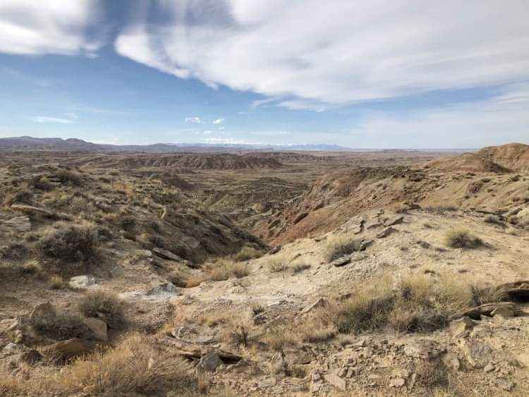
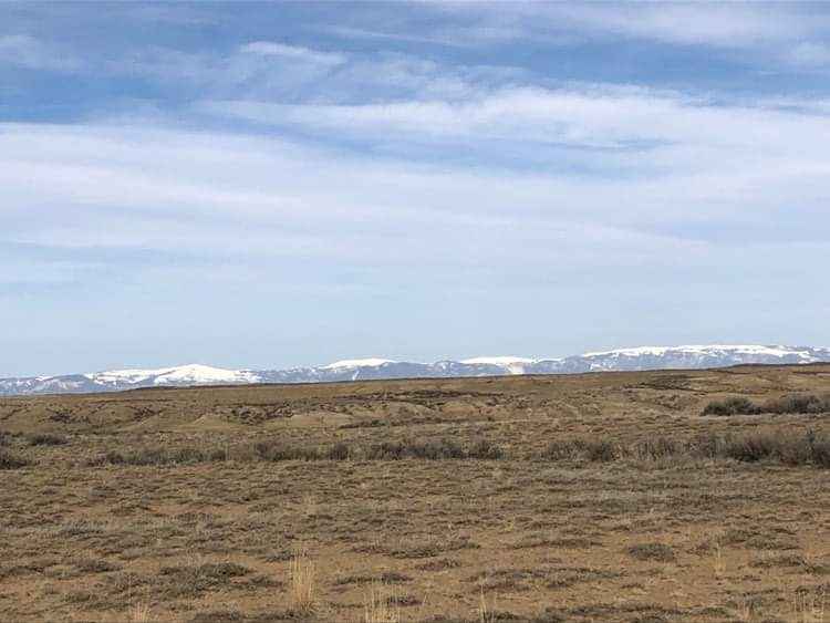
Gilmore Hill
Total Miles
16.7
Elevation
1,529.95 ft
Duration
--
Technical Rating
Best Time
Fall, Summer, Spring
Trail Overview
This route passes through the McCullough Peaks Wild Horse range following BLM roads. The Southern section is Gravel road. The Northern section is a maintained dirt road. Regulations require staying 300 feet away from horses and there are signs to remind you. There are beautiful badlands on the Northern section.
Photos of Gilmore Hill
Difficulty
This entire route is on maintained BLM Gravel and Dirt roads.
Status Reports
Popular Trails
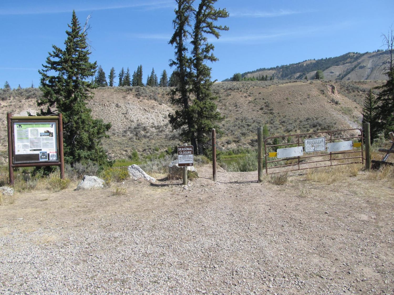
Slate Creek/Dry Dallas
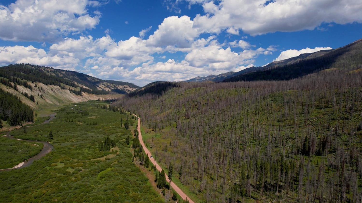
Greys River Road
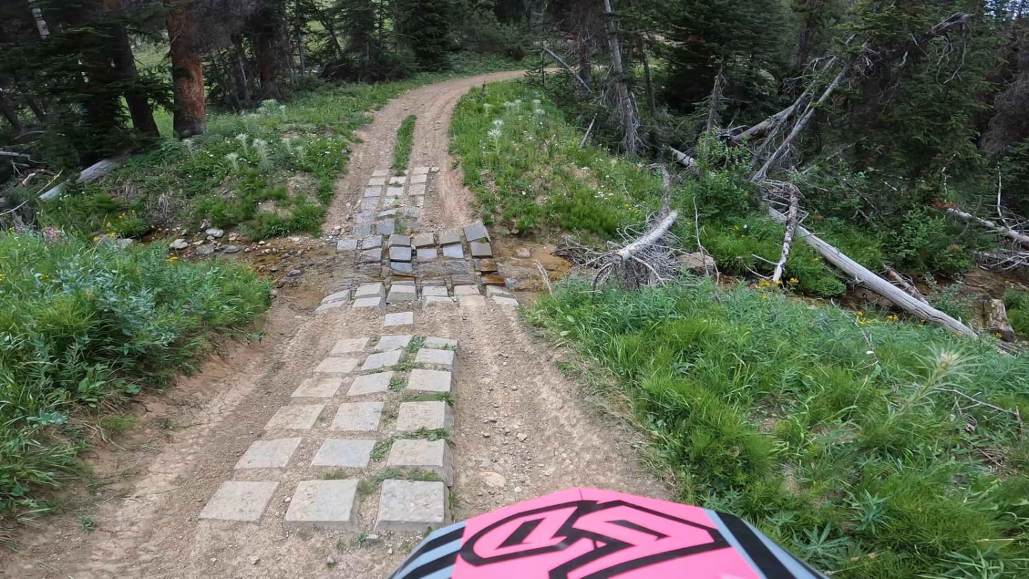
South Fork Ridge (MT13)

Palisades Indian Creek
The onX Offroad Difference
onX Offroad combines trail photos, descriptions, difficulty ratings, width restrictions, seasonality, and more in a user-friendly interface. Available on all devices, with offline access and full compatibility with CarPlay and Android Auto. Discover what you’re missing today!
