Greys River Road
Total Miles
75.9
Technical Rating
Best Time
Spring, Summer, Fall
Trail Type
Full-Width Road
Accessible By
Trail Overview
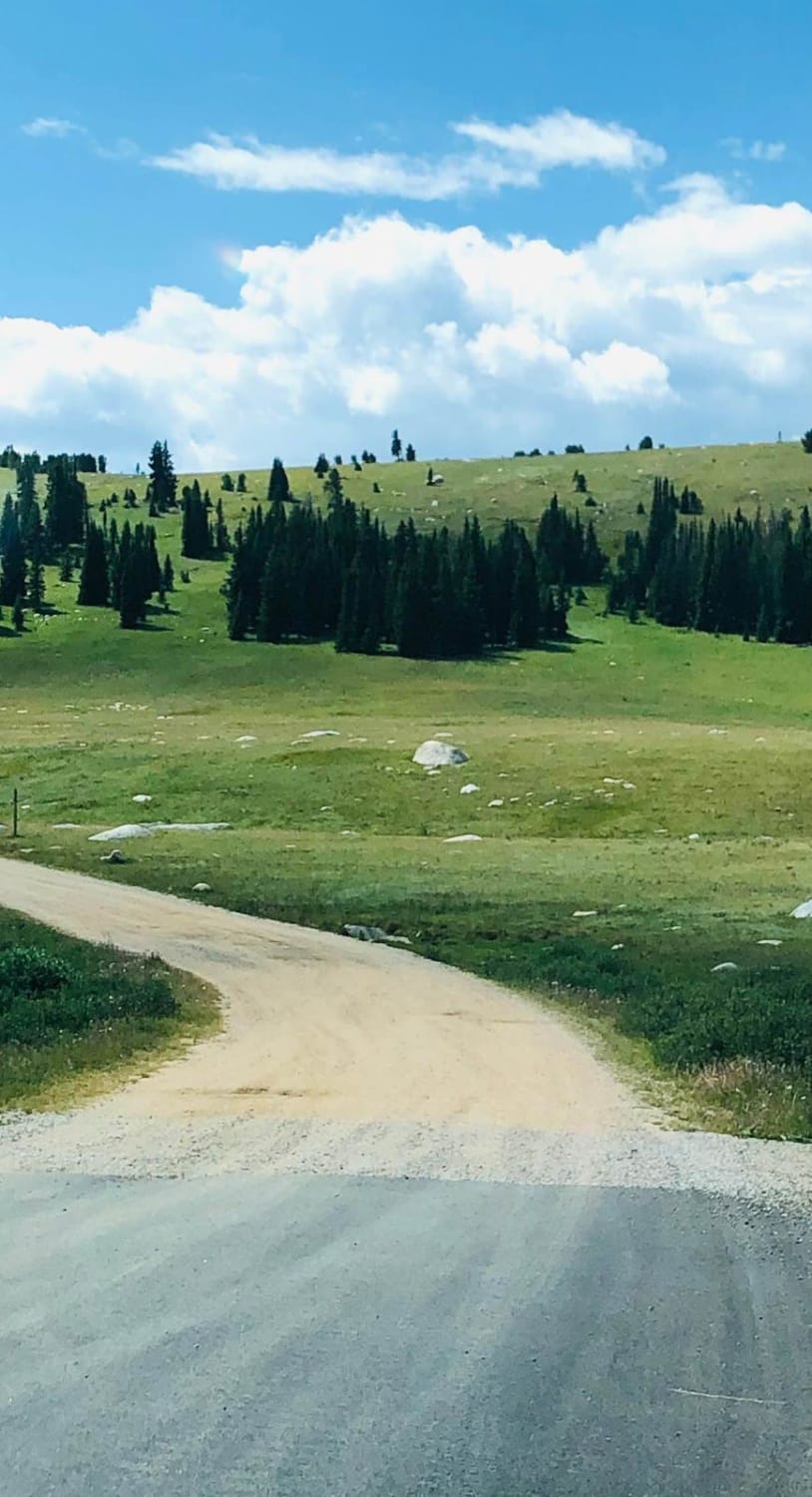
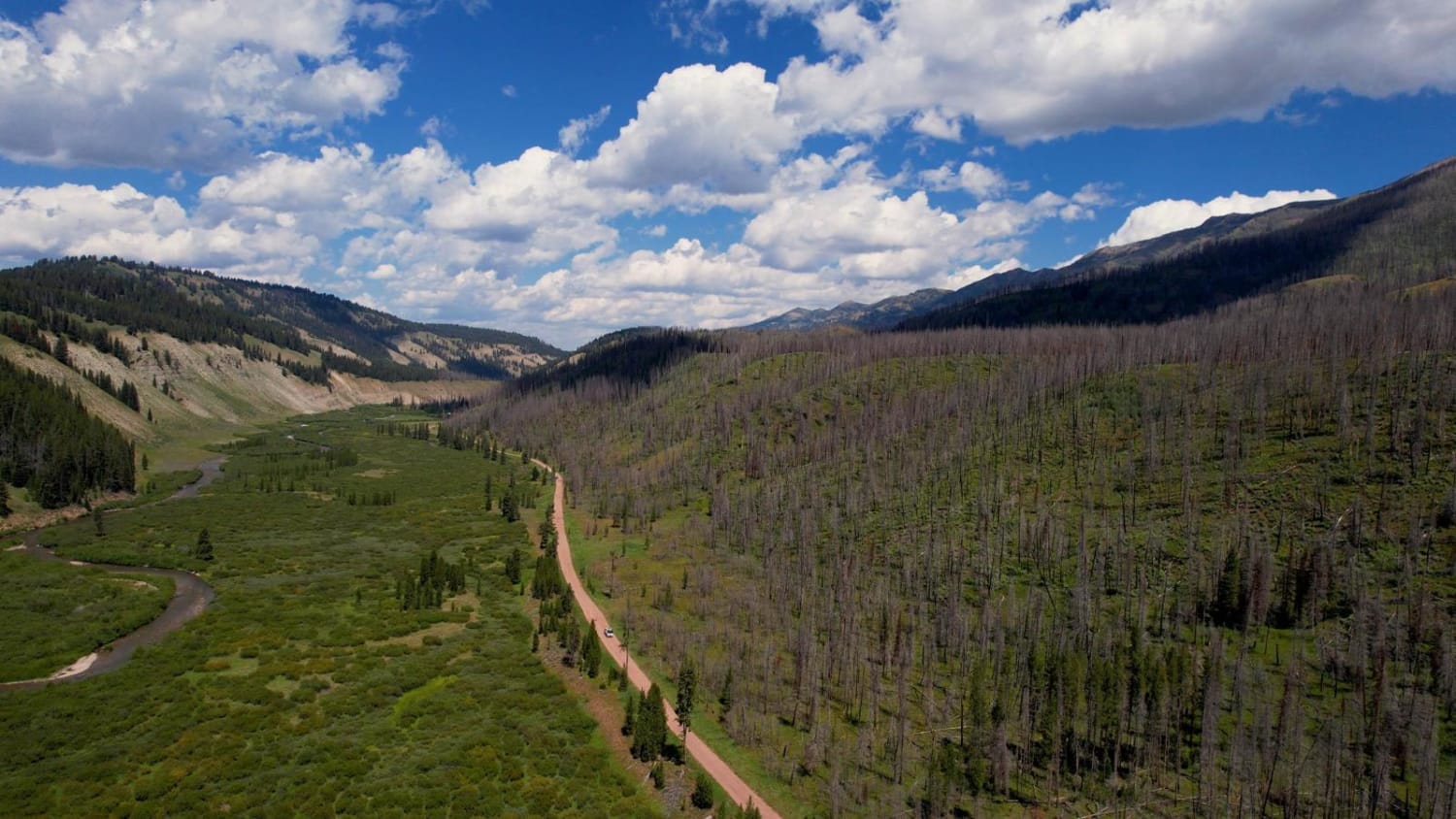
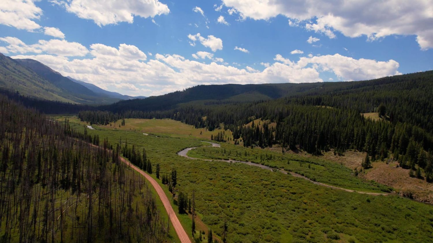
This route takes you the whole length of the Wyoming Range following the Greys River. Along the way, you'll experience mountain vistas, the beautiful Greys River, wildlife, alpine lakes, and hundreds of places to camp. The trail is not aggressive at all, minus a few water crossings and the occasional mud puddle. The road is graded and well maintained, even turning into a full-size 2-lane road on the northern end. 2WD cars, RVs, camper pullers, and so on will have no issues traveling the main road. The two offshoots on the trail take you to mountain hiking trails and alpine lake hiking trails. Make sure you have fuel and enjoy the beautiful Wyoming Range.
Photos of Greys River Road
Difficulty
This trail is easy, just watch out for mud holes.
Status Reports
Popular Trails

Nickle Creek

Fantan Loop to Sawtooth Lake

Shale Creek - Kinney Creek Loop

Torchlight Road
The onX Offroad Difference
onX Offroad combines trail photos, descriptions, difficulty ratings, width restrictions, seasonality, and more in a user-friendly interface. Available on all devices, with offline access and full compatibility with CarPlay and Android Auto. Discover what you’re missing today!


