North Red Desert Traverse
Total Miles
67.7
Technical Rating
Best Time
Spring, Summer, Fall
Trail Type
Full-Width Road
Accessible By
Trail Overview
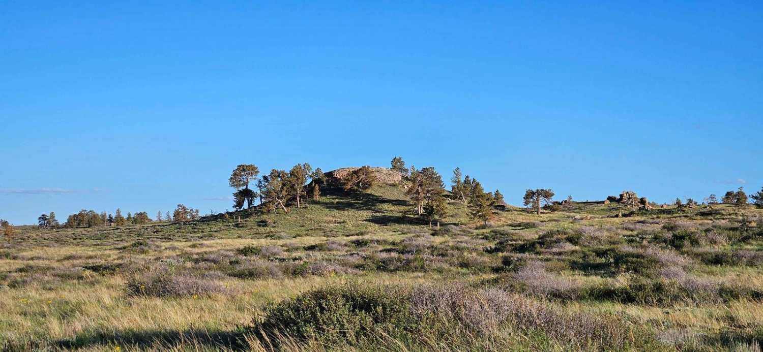
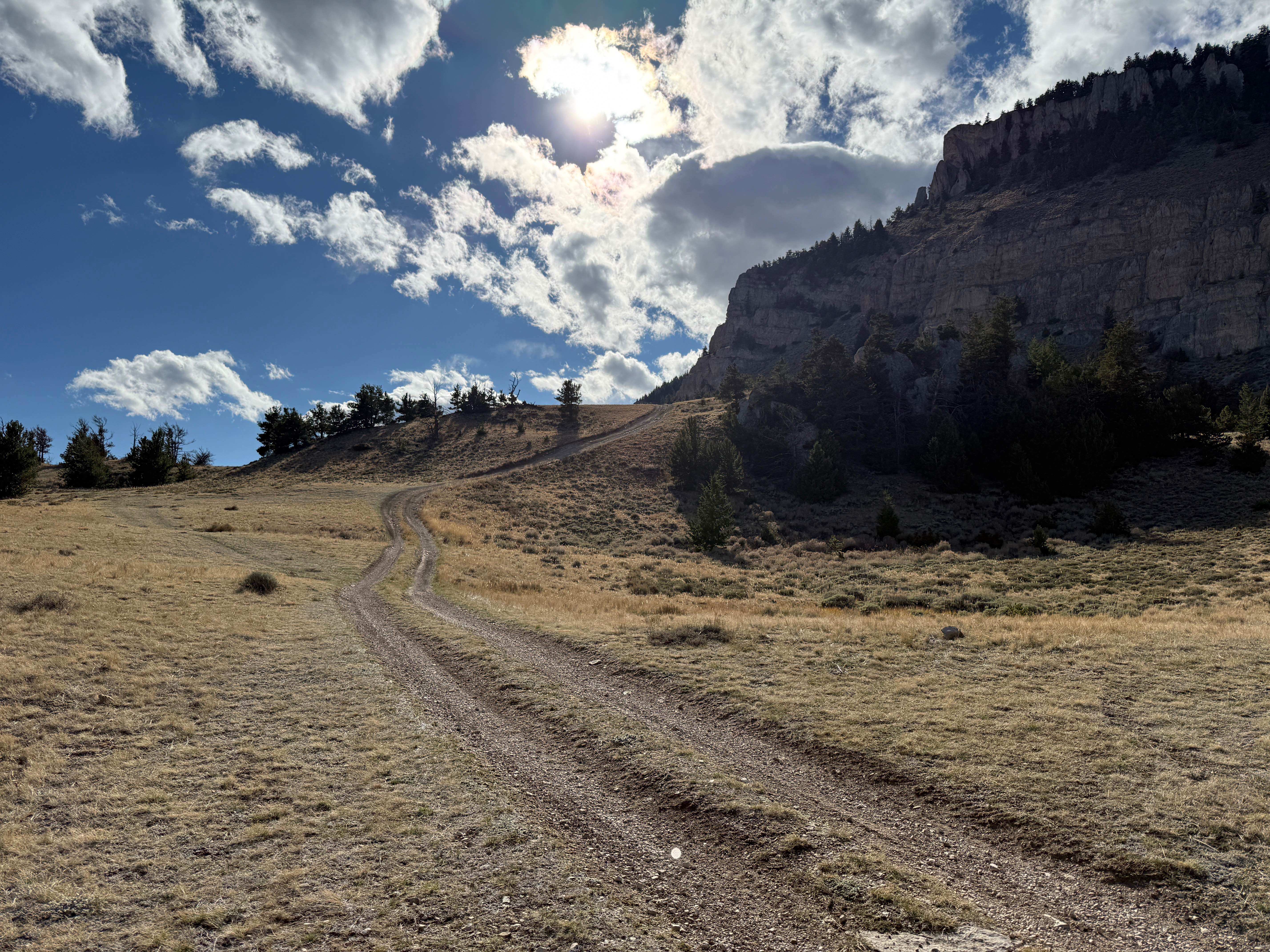
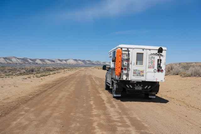
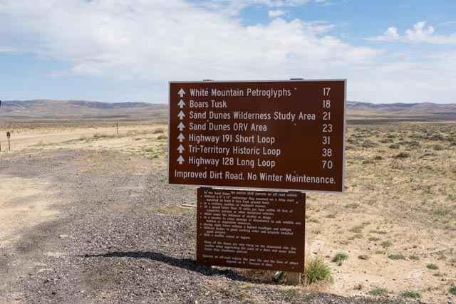
A grand tour of Wyoming's northern Red Desert passing a variety of points of interest and landscapes, including sweeping views of the Wind River Mountains in the distance. The route begins on County Road 17, a wide and well-graded two-lane trail passing the White Mountain Petroglyphs, Boars Tusk rock formation, and The Killpecker Sand Dunes OHV area. Thereafter, the trail becomes a narrower single lane with occasional ruts. After approximately 30 miles, the trail turns north (County Road 83/Freighter Gap Road), climbing switchbacks up the Leucite Hills (BLM 4104) to the Tri Territory Monument (BLM 4102) and sweeping views of the southern Wind River Mountains beyond before reconnecting with Freighter Gap Road, crossing terrain of rolling hills and scrub with an often packed sandy road surface that at times may be rutted and potholed from runoff. The trail exits to WY-28 via Bar X Road.
Photos of North Red Desert Traverse
Difficulty
Sections of the trail would likely be impassable when wet due to mud and loose sand or could become washed out due to heavy rain. The trail is mostly flat and well graded with a few ledges with steep drops driving up the switchbacks on the Leucite Hills.
Status Reports
North Red Desert Traverse can be accessed by the following ride types:
- High-Clearance 4x4
- SUV
- SxS (60")
- ATV (50")
- Dirt Bike
North Red Desert Traverse Map
Popular Trails

North Beaver Loop

Sheep Mountain Access

Spalding Bay Road
The onX Offroad Difference
onX Offroad combines trail photos, descriptions, difficulty ratings, width restrictions, seasonality, and more in a user-friendly interface. Available on all devices, with offline access and full compatibility with CarPlay and Android Auto. Discover what you’re missing today!


