The Upper Edge
Total Miles
1.2
Technical Rating
Best Time
Spring, Fall, Winter
Trail Type
High-Clearance 4x4 Trail
Accessible By
Trail Overview
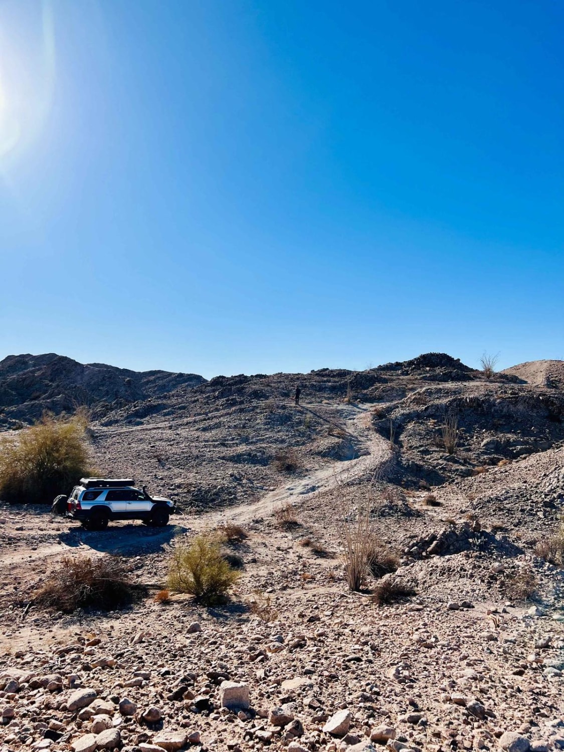
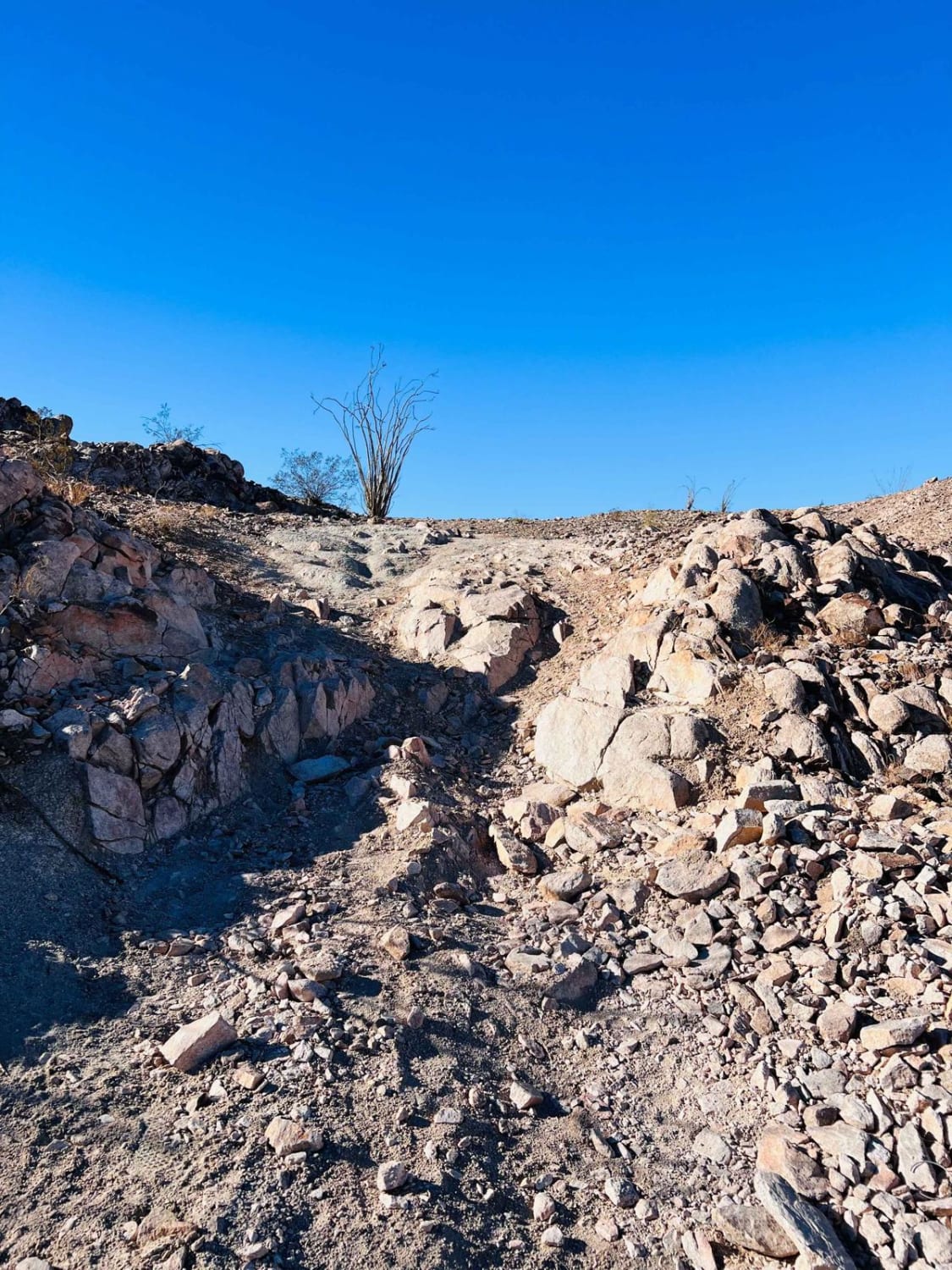
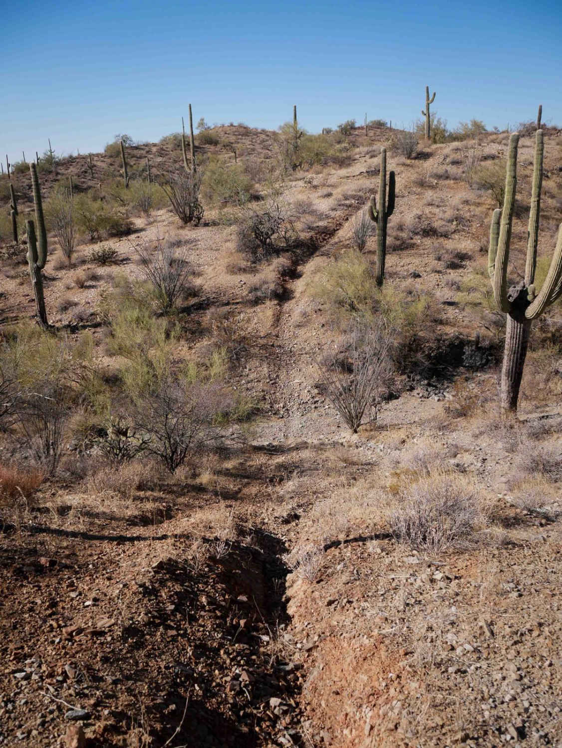
This challenging route travels across the higher trail system in the area. It's an SXS or motorcycle's dream with steep shelves, loose hills, and steep off-camber sections with severe drops into valleys below with improper tire placement. Be sure to watch for oncoming traffic. Many of the rigs out here are running flags which is a huge help. Heavy 4x4s may want to avoid attempting the trail as the loose off-camber sections may give out. If they can even make it out, there are a few lovely camping options for one or two rigs. 5G Verizon cell service fades from full to one bar and back again.
Photos of The Upper Edge
Difficulty
There are steep shelves, loose off-camber transitions, and long loose hill climbs and descents.
Status Reports
Popular Trails

Harquahala Palomas Wash - Ye1239

Little Connector

Woodchute Mtn/Smiley Rock Connector
The onX Offroad Difference
onX Offroad combines trail photos, descriptions, difficulty ratings, width restrictions, seasonality, and more in a user-friendly interface. Available on all devices, with offline access and full compatibility with CarPlay and Android Auto. Discover what you’re missing today!


