Little Connector
Total Miles
1.2
Technical Rating
Best Time
Spring, Fall, Winter
Trail Type
Full-Width Road
Accessible By
Trail Overview
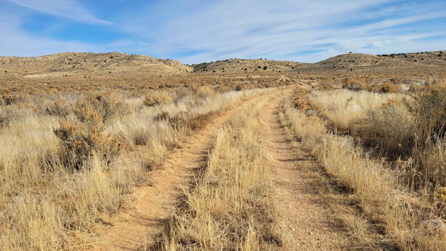
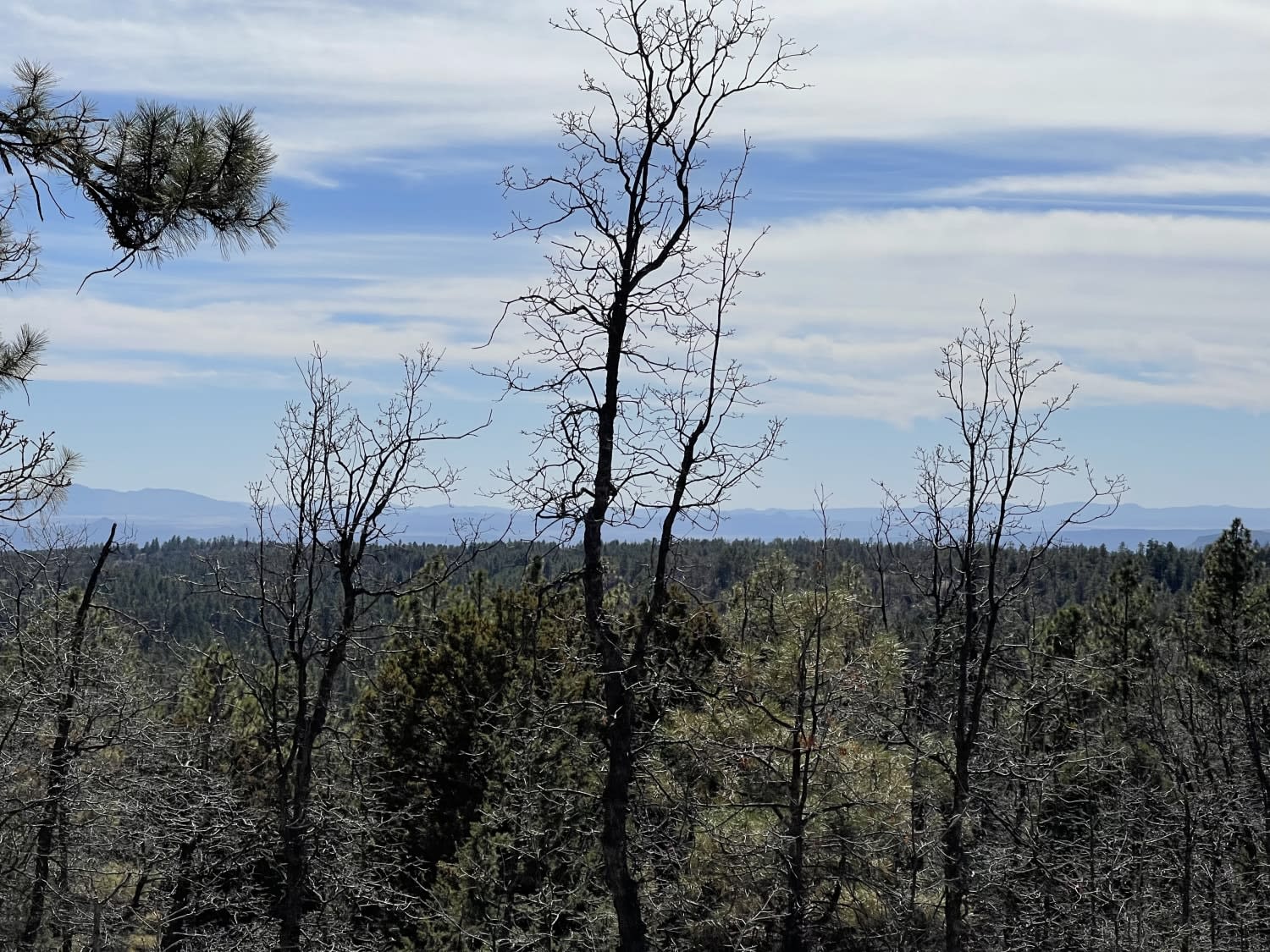
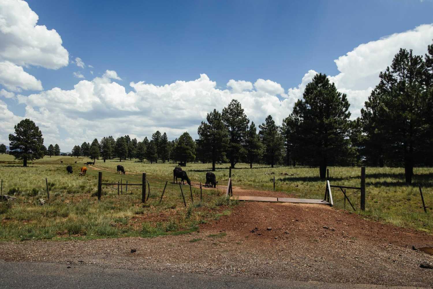
Little Connector is an unmarked and very short two-track trail that takes you from the valley floor up onto the plateau, or even further out to eventually connect with Highway 5 (Mount Trumbull School House Road). The multitude of tire tracks indicate it's a commonly used trail. The trail crosses washes a couple of times; you should potentially avoid it in wet conditions. There are a couple of brief rocky/rutted spots as you climb/descend the hill but it is not technical or difficult. There are several trails to explore off this one connector. Livestock are free-roaming and can be on the trail so be on the lookout. The Arizona Strip is incredibly remote with no service and hardly any visitors. Summer months will reach triple-digit temperatures and freezing temperatures in the winter months. Be prepared when venturing out here.
Photos of Little Connector

Difficulty
The trail crosses washes a couple of times; you should potentially avoid it in wet conditions. There are a couple of brief rocky/rutted spots as you climb/descend the hill but it is not technical or difficult.
Status Reports
Little Connector can be accessed by the following ride types:
- High-Clearance 4x4
- SUV
- SxS (60")
- ATV (50")
- Dirt Bike
Little Connector Map
Popular Trails

T-Six Canyon Loop

Natural Arches Loop
The onX Offroad Difference
onX Offroad combines trail photos, descriptions, difficulty ratings, width restrictions, seasonality, and more in a user-friendly interface. Available on all devices, with offline access and full compatibility with CarPlay and Android Auto. Discover what you’re missing today!