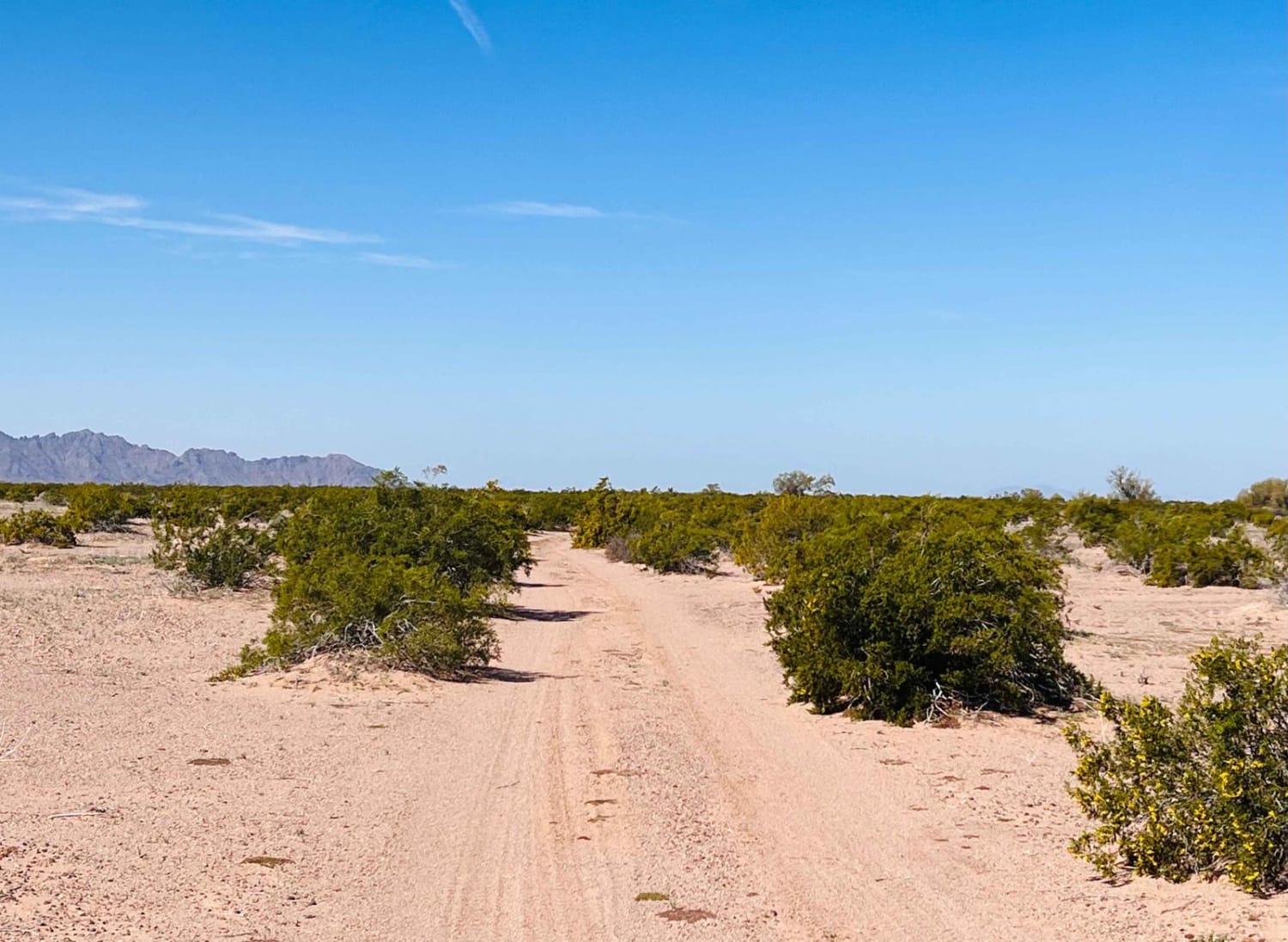
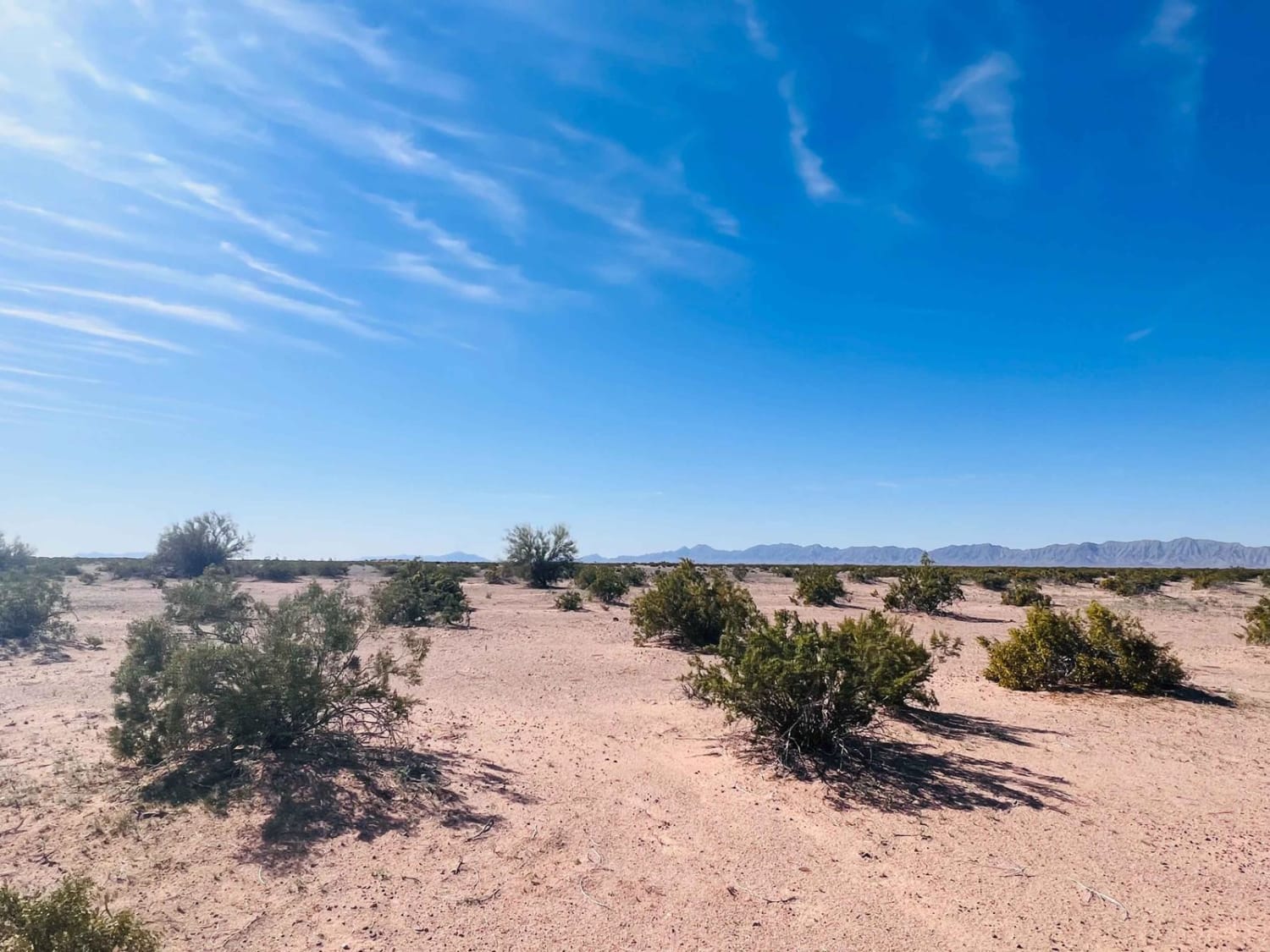
El Camino Del Sol to Dateland Hidden Canyon
Total Miles
8.0
Elevation
129.87 ft
Duration
0.5 Hours
Technical Rating
Best Time
Spring, Fall
Trail Overview
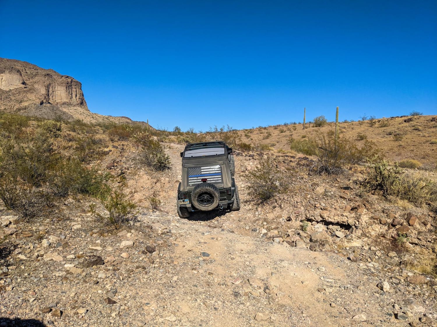
This is a fun trail if you want to bop around in the middle of the desert but avoid getting lost and eventually find a neat little canyon. The trail connects from the frontage road that runs along the 8 freeway just west of Dateland. The trail begins as a wide gravel and dirt trail heading towards some private property; it runs along some telephone lines and then turns into a wide open desert. The area has cell service, but we recommend downloading offline maps. Other tracks in the desert intersect with this trail and getting turned around and confused out there can be easy. Eventually, the trail links back up with a main gravel trail and ends at the turn for the Dateland Hidden Canyons Trail. Take this up to the little canyon or continue it back out to the tarmac.
Photos of El Camino Del Sol to Dateland Hidden Canyon
Difficulty
Any AWD SUV can make this trail. The trail surface is sand and dirt.
Status Reports
Popular Trails
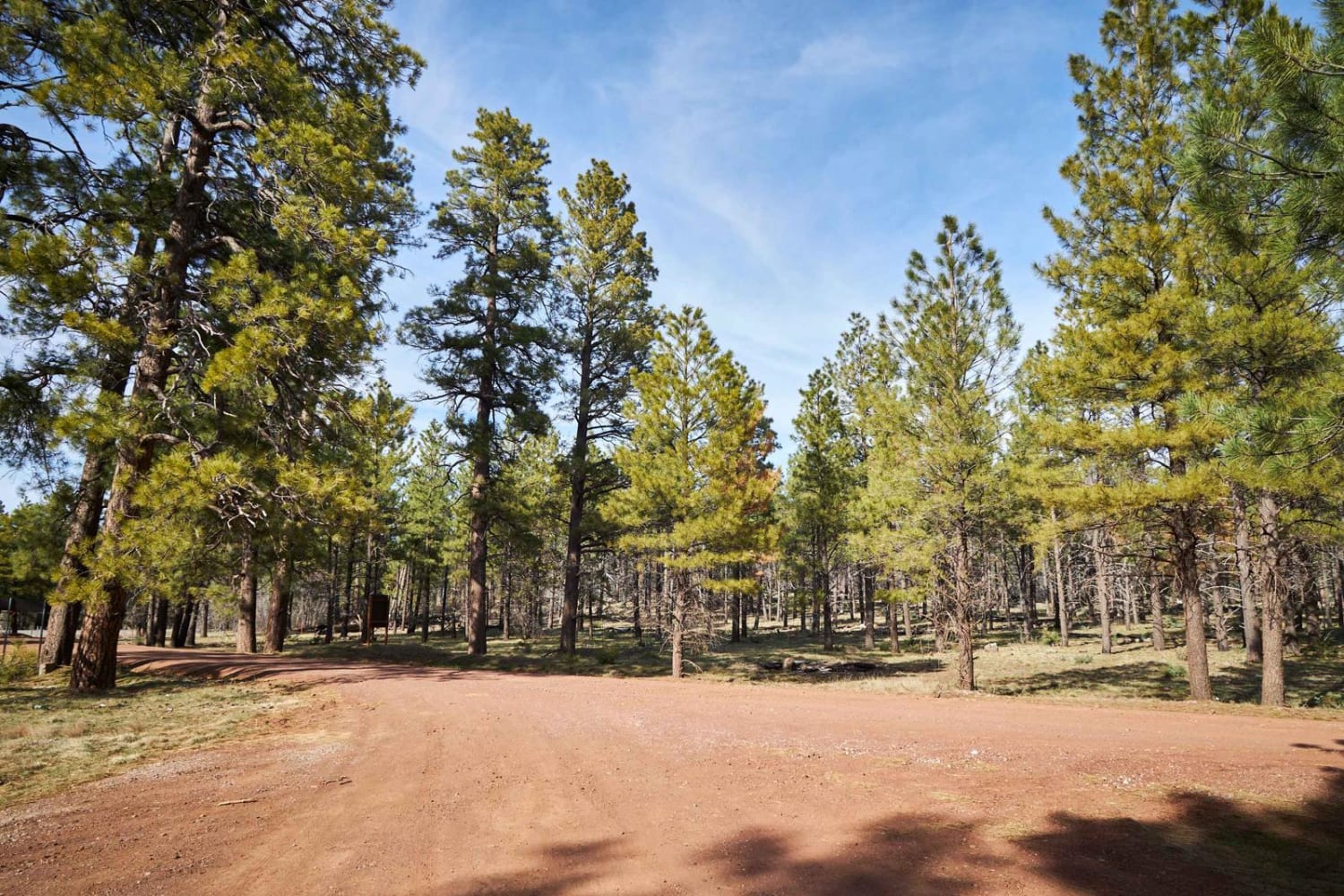
Loop Road N. / 108
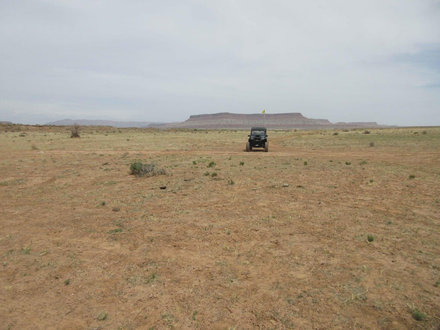
Antelope/Temple Trail (East)
Saddle Mountain Loop

Williamson Valley Tank
The onX Offroad Difference
onX Offroad combines trail photos, descriptions, difficulty ratings, width restrictions, seasonality, and more in a user-friendly interface. Available on all devices, with offline access and full compatibility with CarPlay and Android Auto. Discover what you’re missing today!
