Eastern Garnet Range Road
Total Miles
4.2
Elevation
1,826.13 ft
Duration
--
Technical Rating
Best Time
Fall, Summer, Spring
Trail Overview
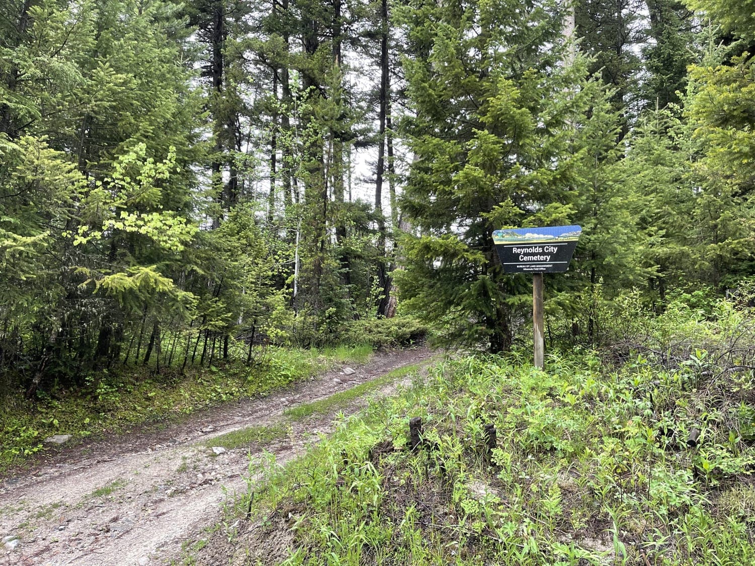
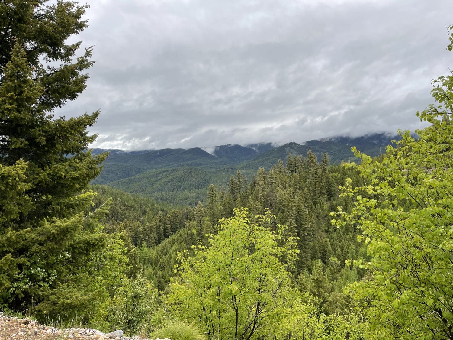
This easy section twists and turns through the hills and offers a lot of offshoots that have been blocked off with gates and a few pullouts with evidence of camping. If that is your jam, then there are spots for you. The trail passes by the access to the old Reynolds city cemetery as it twists and turns through the hills. You'll see fantastic mountain vistas and ride alongside a section of Elk creek. The trail surface is primarily rocky with many potholes. Two bars of LTE cell service fade in and out.
Photos of Eastern Garnet Range Road
Difficulty
Rocky with potholes, narrow in some spots, pullouts to pass oncoming, no winter maintenance.
Status Reports
Popular Trails

West Fork of Swamp Creek

Miller Trail #2496

Upper Spoon Creek
The onX Offroad Difference
onX Offroad combines trail photos, descriptions, difficulty ratings, width restrictions, seasonality, and more in a user-friendly interface. Available on all devices, with offline access and full compatibility with CarPlay and Android Auto. Discover what you’re missing today!


