Mingus Mountain
Total Miles
18.7
Elevation
2,299.25 ft
Duration
3 Hours
Technical Rating
Best Time
Summer, Fall
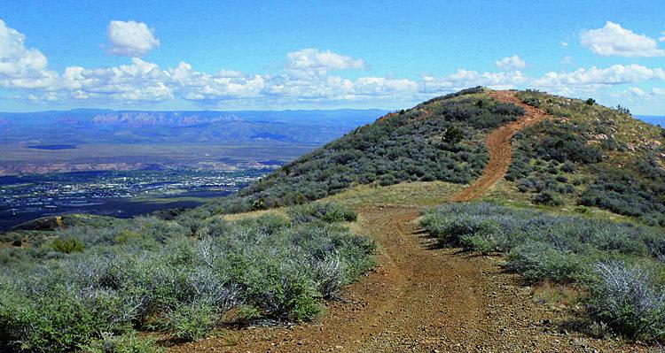
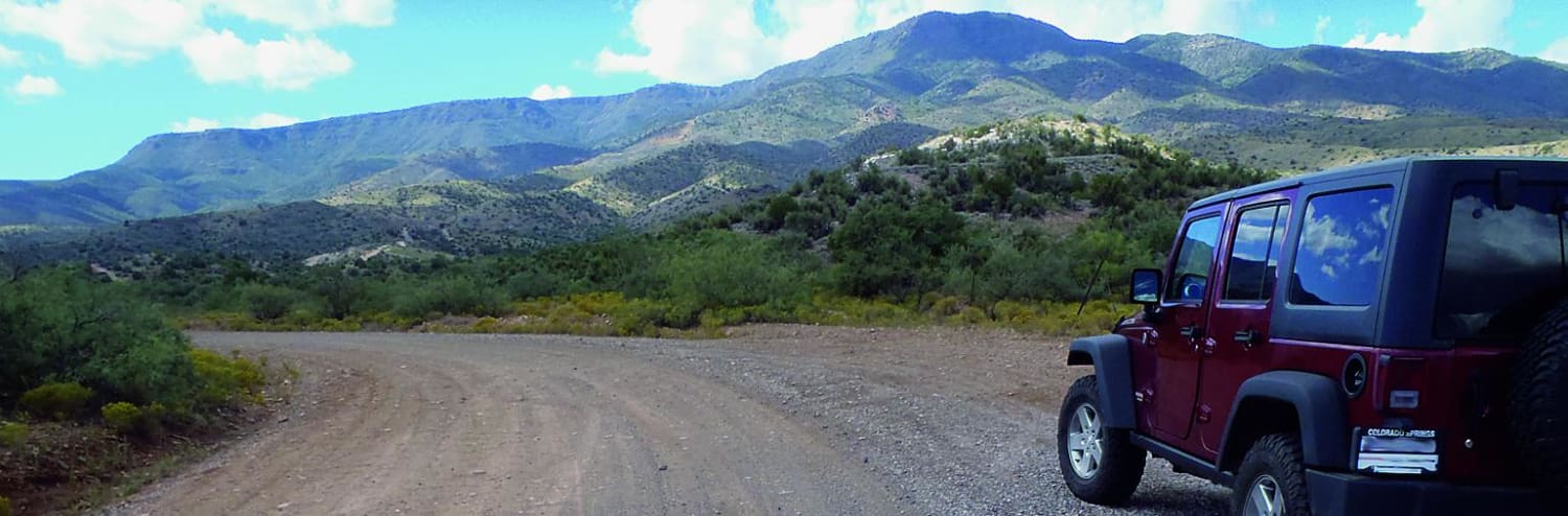
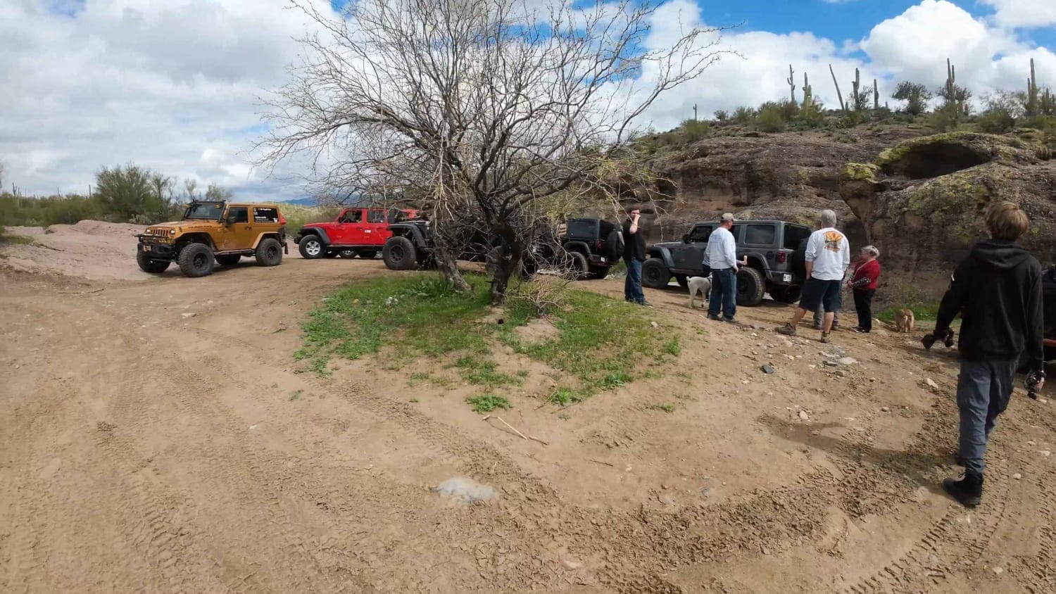
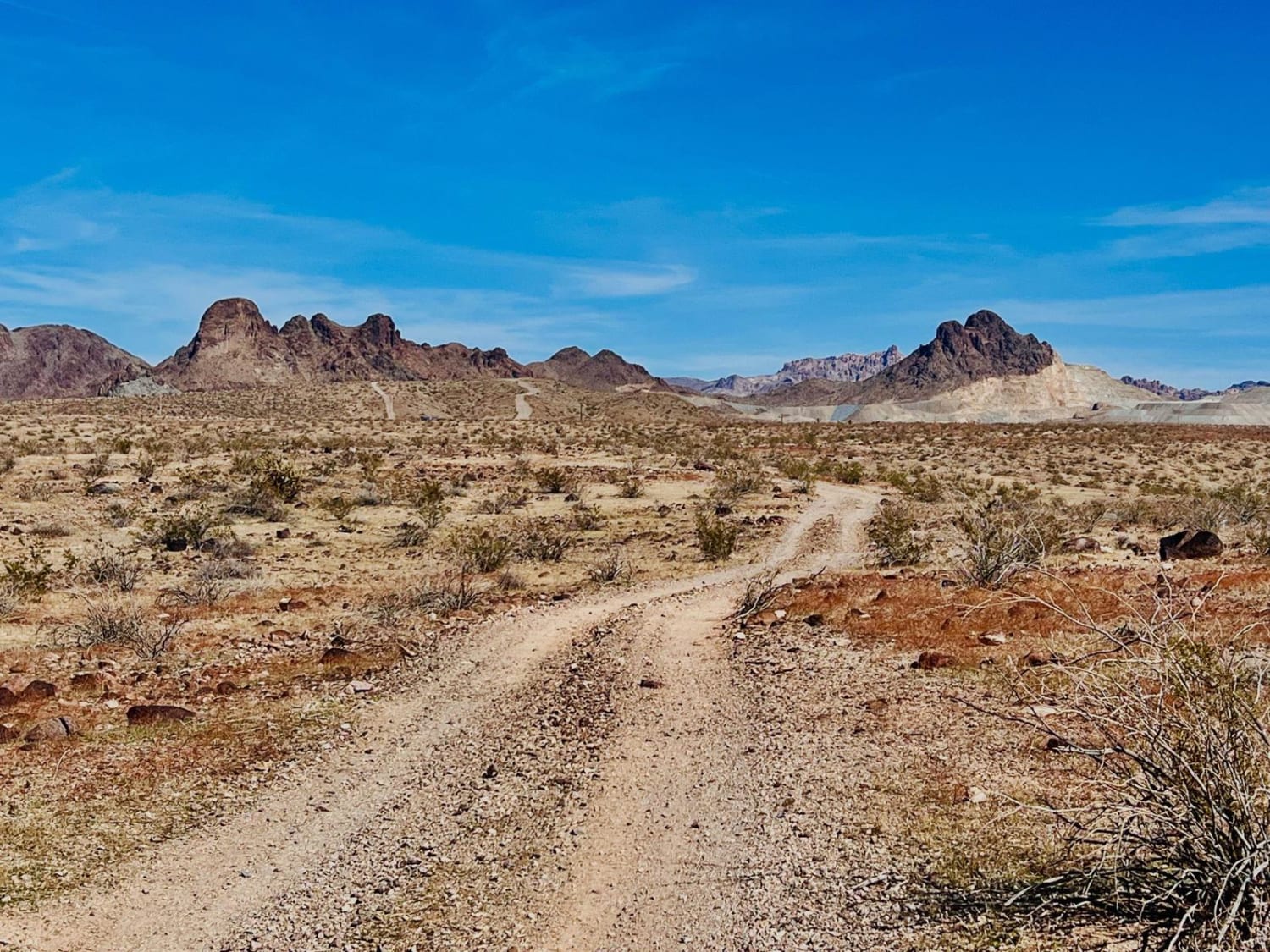
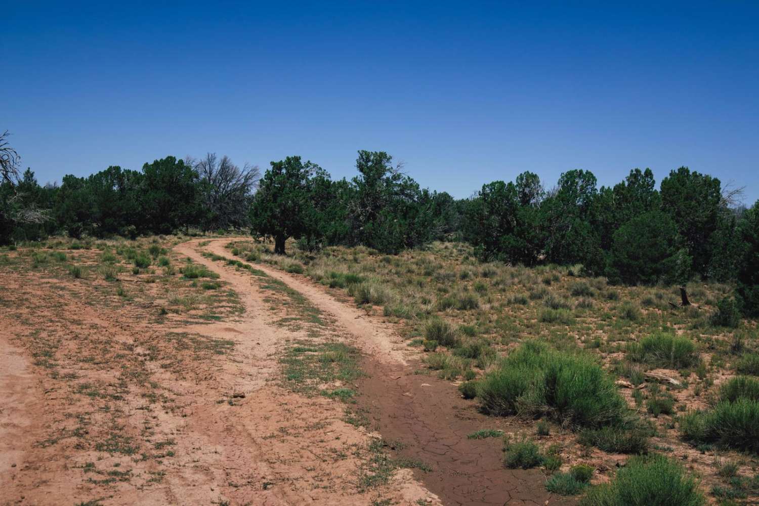
Trail Overview
Once you get through the lowland section of the trail, it climbs quickly up into the forest. If you want to see the fall colors, they peak in November. Views are impressive along the mountainside. You'll eventually pass Copper Chief Mine. Please obey all signs, as this mine is closed to the public. Camping is available, and the roads are open to unlicensed vehicles. This trail is not recommended in winter.
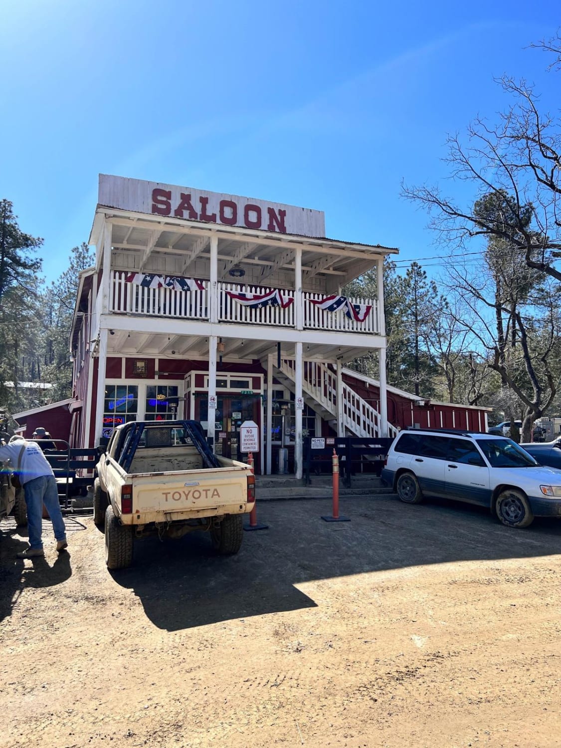
Photos of Mingus Mountain
Difficulty
Moderate: Much of the road is easy, but there are several spots that are steep, narrow and rocky. Suitable for most stock high-clearance SUVs with 4-wheel drive.
History
We found a 1926 government report stating a cynanide mill was in operation at the Copper Chief mine between 1916 and 1918, during which time the mine returned $875,800. The mine operated profitably for many more years. The mine is owned by Freeport-McMoRan Copper & Gold, Inc., based in Phoenix. Recent activity at the mine involved installation of a passive water collection system to control seepage still coming from old mine shafts.
Status Reports
Popular Trails
Upstream Access to China Dam
Wheeler Wagon Ridge Dispersed Camps
Backway to Crown King
The onX Offroad Difference
onX Offroad combines trail photos, descriptions, difficulty ratings, width restrictions, seasonality, and more in a user-friendly interface. Available on all devices, with offline access and full compatibility with CarPlay and Android Auto. Discover what you’re missing today!