Montana Mountain

Total Miles
28.9

Elevation

1,658.97 ft

Duration

4 Hours

Technical Rating

4

Moderate

Best Time

Spring, Summer, Fall
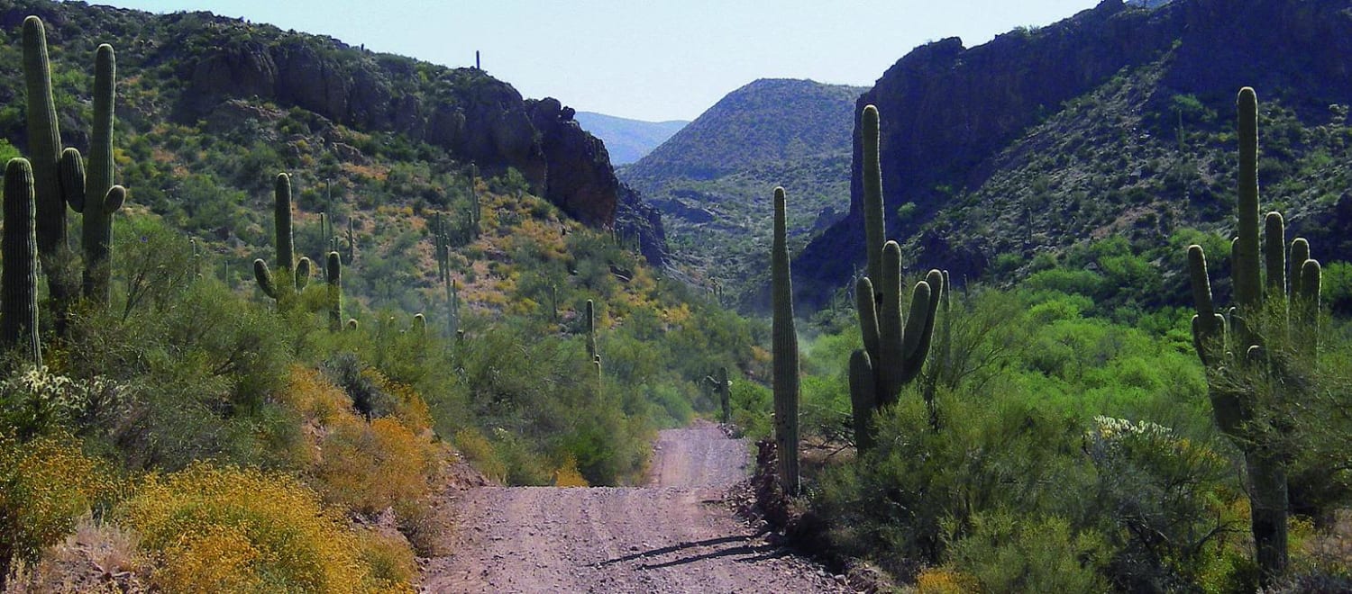
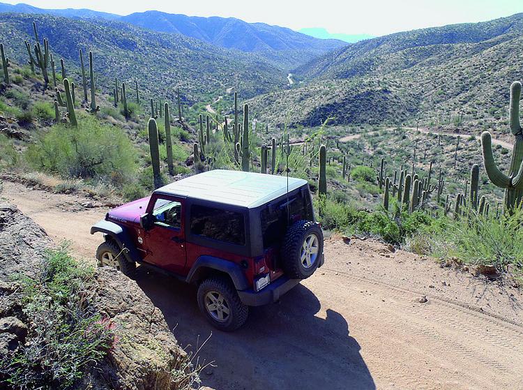
Trail Overview

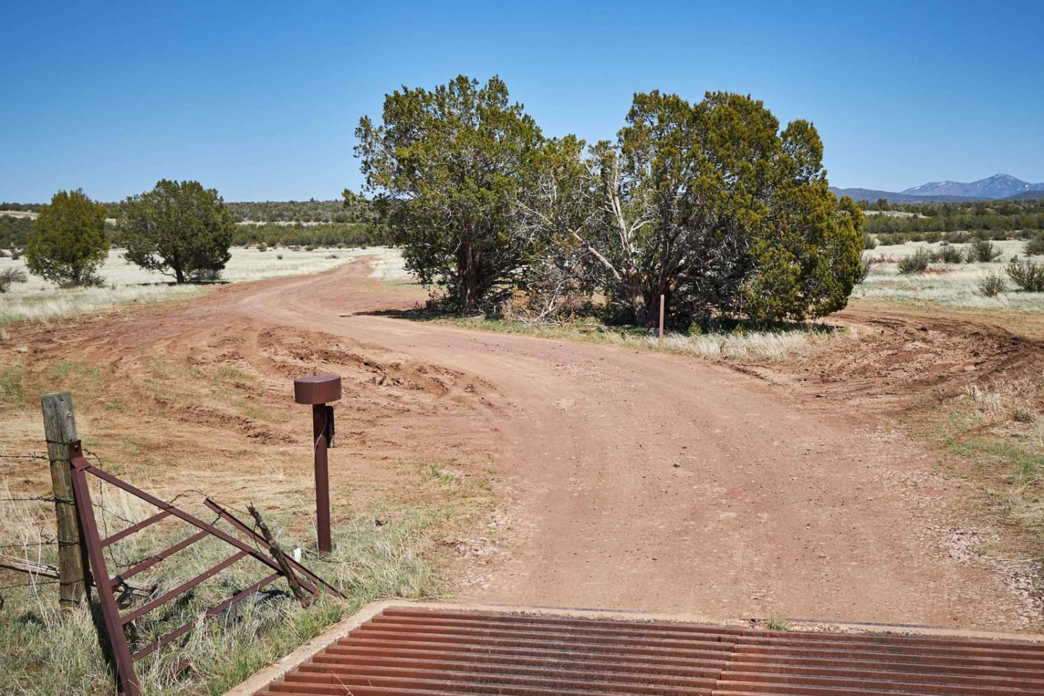
This is a beautiful trail in close proximity to Phoenix. It starts in an amazing canyon and eventually climbs up to 5,000 feet where you'll get breathtaking desert and mountain views. ATVs and UTVs can use Hewitt Station Road to complete a loop. There are some great camping spots along the way.

Photos of Montana Mountain

Montana Mountain
Montana Mountain

Difficulty

Mostly well-graded road with some embedded rock. F.S. 650 is narrow, steep and sometimes rutted. Stock vehicles with high ground clearance can make it with an experienced driver. Do not attempt if snow or ice are present.

Technical Rating

4

Status Reports

Shannon Oleary
Aug 25, 2024
2022 Toyota Sequoia
Open
Rough/Deteriorated
If you’re going clockwise the Trail is fine up to JF Ranch, after that you need high clearance, good all terrain tires. I was in my lifted sequoia and ended up having to turn around. The switchbacks right before the cabin had a good wash out during a monsoon. If you don’t want to die I wouldn’t risk it. Sxs could probably make it and maybe a small jeep.
Mike H
Jun 11, 2024
2022 Jeep Wrangler
Open
Dusty
Rough/Deteriorated
Had the entire road to ourselves. Agree with previous recent comments. There are a number of side roads that look worthy of exploration. Used lockers a couple times but likely could have done without, albeit with more slipping and sliding. A couple deep mines near the stone house. Take a flashlight if you want to explore these.
R Black
May 18, 2024
4x4
Open
Rough/Deteriorated
West side approach was closer to a 5 with exception of one spot. East side is very eroded and a 6 rating. Possible to roll vehicle if operator becomes complacent on a couple of the “s” turns. Would not take a Subaru around this loop.
Benny Zr2 Driver
May 08, 2024
2017 Chevrolet Colorado
Open
Rough/Deteriorated
Just us, started near queen valley and rode clockwise. The first half was occasionally washed/eroded out. Only needed the rear locker twice. Backside third of the trail with the switchbacks was pretty rough. Lots of drop offs and eroded inner corners of switchbacks. Most of the trail was a 5, but the switchback section was a 6. Driven in a Colorado ZR2.

Access Description

From Phoenix, head east on Hwy. 60 past Apache Junction. Turn left at Queen Valley Rd. 0.2 miles past mile marker 214. After 1.6 miles, turn right on Hewitt Station Rd., F.S. 357. Continue another 3.1 miles to F.S 172, start of the trail.

Popular Trails

Go Farther

Try onX Offroad Elite for free for a week — no strings attached. Get access to thousands of off-road dirt trails and snowmobile trails across the nation. View your favorite zones in 3D. Send trails to friends. Start planning the trip of a lifetime now.