Back Way to Black Canyon City
Total Miles
10.3
Elevation
951.63 ft
Duration
2 Hours
Technical Rating
Best Time
Fall, Summer
Trail Overview
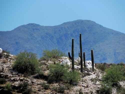
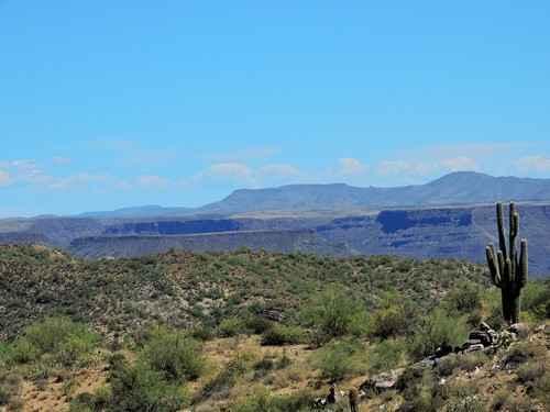
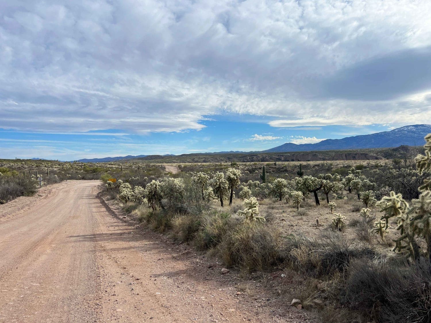
An off-highway route that winds through the mountains between Black Canyon City and the Table Mesa Recreation Area. Nice scenery and a few eroded, rocky hills add a bit of a challenge. The southern part of the trail is fairly easy 4WD but is slow going due to significant cross erosion. There are a few (quartz?) outcrops visible in the area. There are several hills like the one pictured below to spice up an otherwise easy trail. The road between Black Canyon City and the northernmost point of the trail is a wide graded road.
Photos of Back Way to Black Canyon City
Difficulty
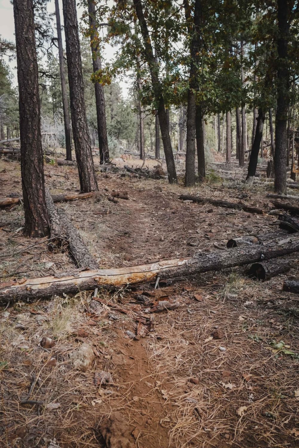
Very rocky, rutted and off-camber trail with erosion, loose rocks, sand, washes and obstacles up to 3 feet tall, including ledges and short, steep grades. Potential for deep water crossings with strong currents.
Status Reports
Popular Trails

North Mine Road to Historic Anderson Mill
Tres Amigos Waterfall/Spring
North Cascabel Road
The onX Offroad Difference
onX Offroad combines trail photos, descriptions, difficulty ratings, width restrictions, seasonality, and more in a user-friendly interface. Available on all devices, with offline access and full compatibility with CarPlay and Android Auto. Discover what you’re missing today!
