Diagonal Powerline
Total Miles
1.8
Technical Rating
Best Time
Winter, Fall, Spring
Trail Type
Full-Width Road
Accessible By
Trail Overview
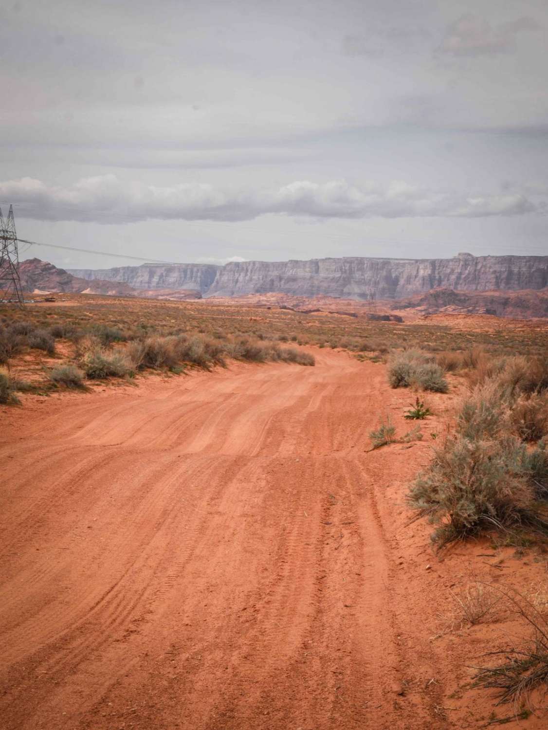
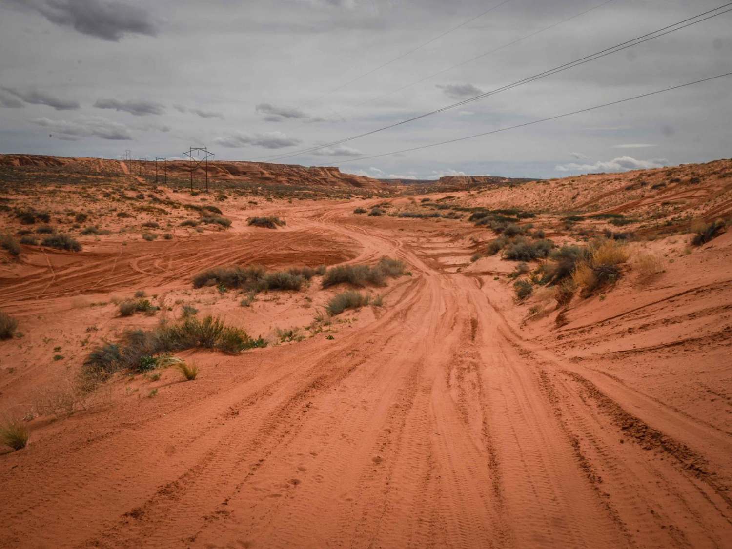
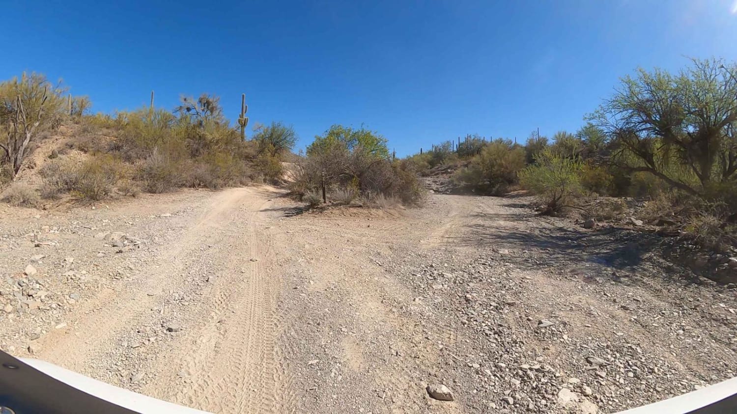
This is a 1.8-mile-long powerline road that diagonals through this red sandy desert and OHV area. The northwest end starts off of the perimeter powerline road and ends at the border of City of Page land, although the track keeps going into the Navajo Reservation. It's made of a mix of dirt and sand, and it has a lot of whoops. It also has sections of rock slab and small hills and crosses long, wide, sandy washes. You can see the beautiful red sandstone mesas in the distance. There are lots of unmarked intersections that come up quickly, so watch out for oncoming traffic.
Photos of Diagonal Powerline
Difficulty
This trail is a 2 difficulty for sections of sand and whoops.
Status Reports
Diagonal Powerline can be accessed by the following ride types:
- High-Clearance 4x4
- SUV
- SxS (60")
- ATV (50")
- Dirt Bike
Diagonal Powerline Map
Popular Trails
31 Far South

Thomas Point Connector
Vaseys Hiking Trailhead
Walker Gulch to Senator Highway and Crown King
The onX Offroad Difference
onX Offroad combines trail photos, descriptions, difficulty ratings, width restrictions, seasonality, and more in a user-friendly interface. Available on all devices, with offline access and full compatibility with CarPlay and Android Auto. Discover what you’re missing today!