Ferry Swale
Total Miles
2.2
Technical Rating
Best Time
Spring, Winter, Fall
Trail Type
Full-Width Road
Accessible By
Trail Overview
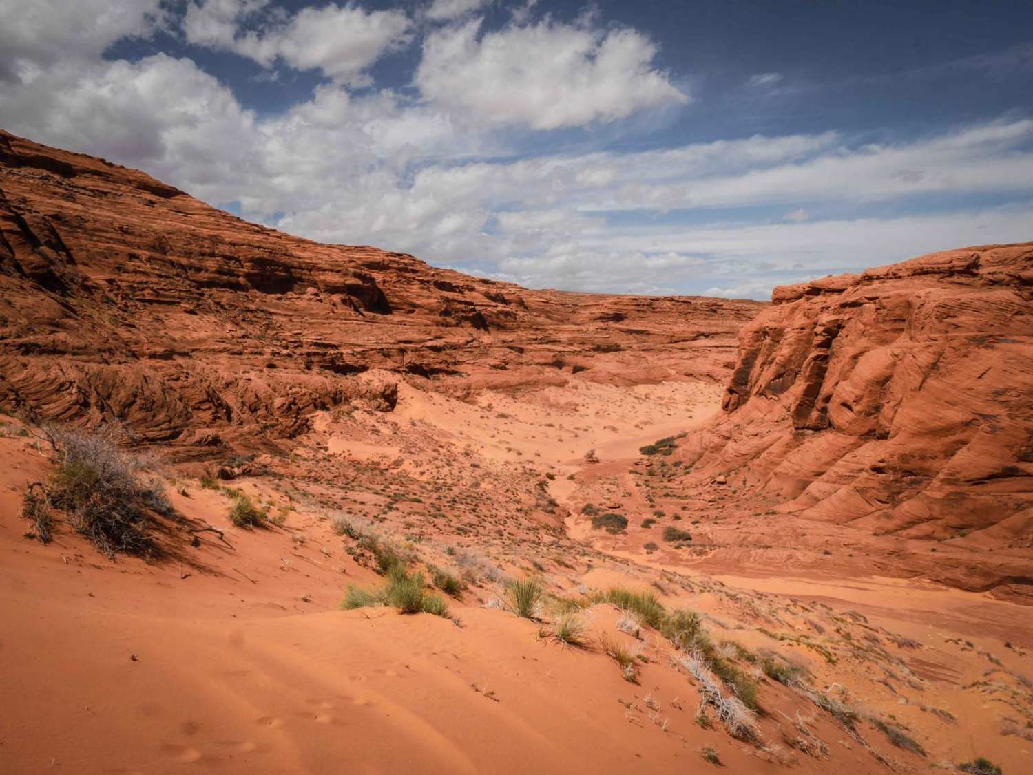
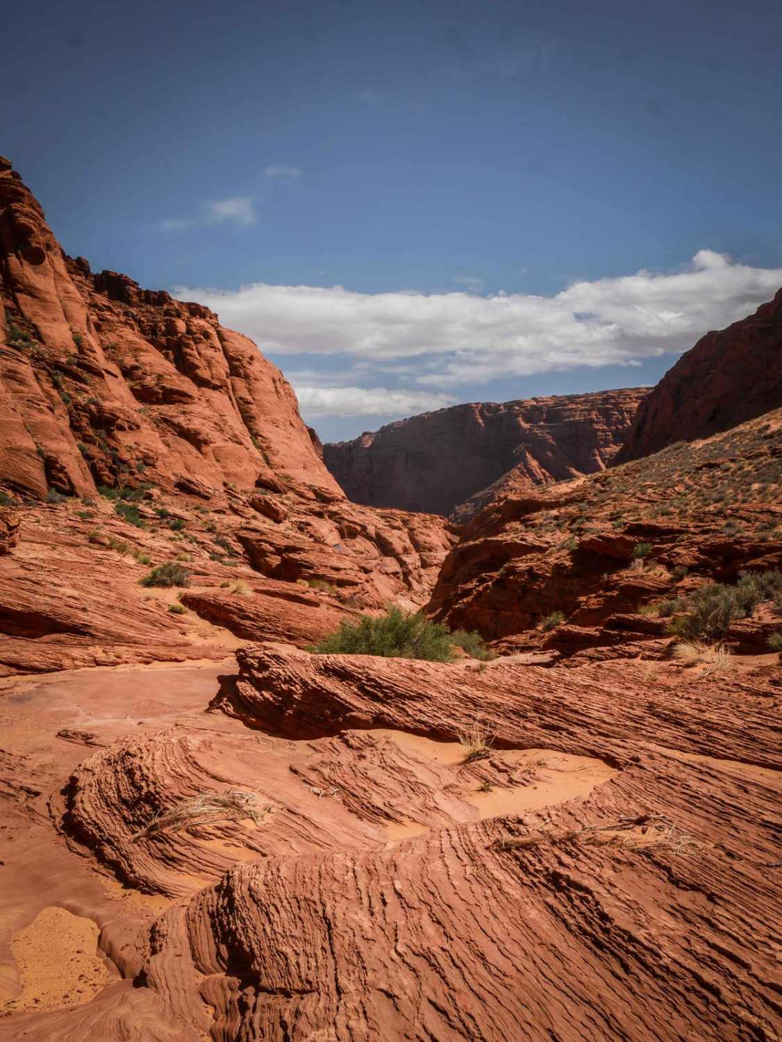
This is a really scenic out-and-back 2.2-mile road through the Vermilion Cliffs National Monument and the Ferry Swale area of Glen Canyon National Recreation Area. It's a sandy narrower trail through red desert, with layers of rock formations in the distance. It drops into a wide sandy wash that is deeper sand in sections, making it more difficult. It's really scenic as it goes right under tall red rock walls and underneath huge canyon walls. It turns into a rock slab in the wash sometimes, then goes elevated above the wash on harder-packed sand before dropping back into the sand. Where the sand ends is where it pinches out into an unpassable canyon of sandstone, and you can't go any further. This trail doesn't end close enough to the canyon rim to see the Colorado River, but it is an incredible view the whole way, so it's definitely worth exploring. Note that after 1.1 miles, the trail enters the Ferry Swale area of the Glen Canyon National Recreation Area. As of April 2024, a permit system for ORV routes within Glen Canyon National Recreation Area is being developed, and ORV permits will be required in the future. Since this trail is in the Glen Canyon National Recreation Area, it's designated as open to conventional vehicles, OHVs, and street-legal ATVs/dirt bikes.
Photos of Ferry Swale
Difficulty
This is an easier trail that is mostly sand but also has slab rock sections.
Status Reports
Ferry Swale can be accessed by the following ride types:
- High-Clearance 4x4
- SUV
- SxS (60")
- ATV (50")
- Dirt Bike
Ferry Swale Map
Popular Trails

Blue Ridge Campground

Yellow Route Connection

Powerline Road
The onX Offroad Difference
onX Offroad combines trail photos, descriptions, difficulty ratings, width restrictions, seasonality, and more in a user-friendly interface. Available on all devices, with offline access and full compatibility with CarPlay and Android Auto. Discover what you’re missing today!


