Mineral Mine Trail
Total Miles
3.1
Technical Rating
Best Time
Spring, Fall
Trail Type
High-Clearance 4x4 Trail
Accessible By
Trail Overview
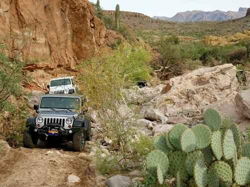
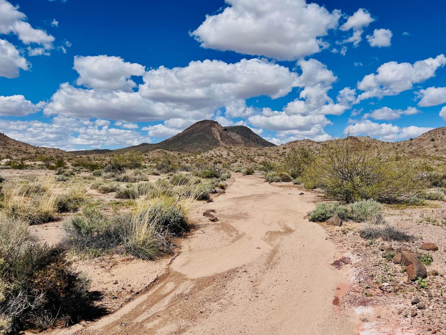
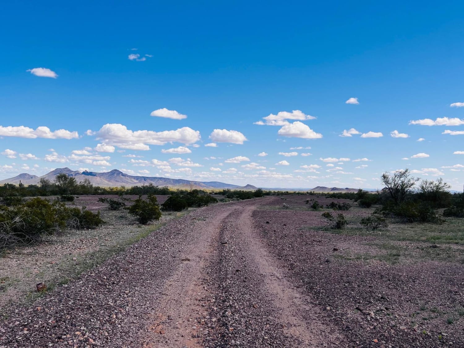
This trail begins off of the main Agua Caliente Trail. There are some nice dispersed campsites within the first half mile that most sun's and vehicles with adventure trailers can access. Most of the campsites have excellent views of the Mountains. Beyond the first half mile or so, the trail gets more adventurous with washed-out sections and bits of sand. The middle portion of the trail is the most exciting, with small ledges in or out of washes and a decent rock section in a dry river bed to cross. Generally, the trail is mostly soil and small rocks. Some sections turn into lava rocks. This area has evidence of several old mines, and mine holes can even be found along the route. Quartz was seen in the lava rocks. 4x4 high clearance for getting into and out of the washes. Pretty red dirt and mineral sections. This trail is excellent for exploring in the spring due to the lovely wildflowers. This is a remote area with little or no cell service. Download offline maps before heading out to explore, and bring extra water.
Photos of Mineral Mine Trail
Difficulty
This is a sandy section intermixed with erosion and washouts. The middle portion of the trail has some adventurous washes to get in and out of, with some boulder sections in the middle of the washes.
Status Reports
Popular Trails

Putz Wood Canyon

Turkey Creek Springs FR 4408

Rampleys Trail
The onX Offroad Difference
onX Offroad combines trail photos, descriptions, difficulty ratings, width restrictions, seasonality, and more in a user-friendly interface. Available on all devices, with offline access and full compatibility with CarPlay and Android Auto. Discover what you’re missing today!


