Muggins Mountain East Red Bluff
Total Miles
4.9
Elevation
172.05 ft
Duration
2 Hours
Technical Rating
Best Time
Spring, Summer, Fall, Winter
Trail Overview
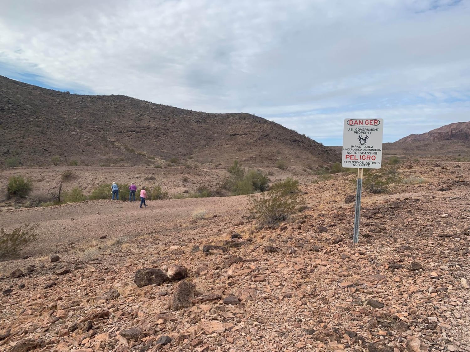
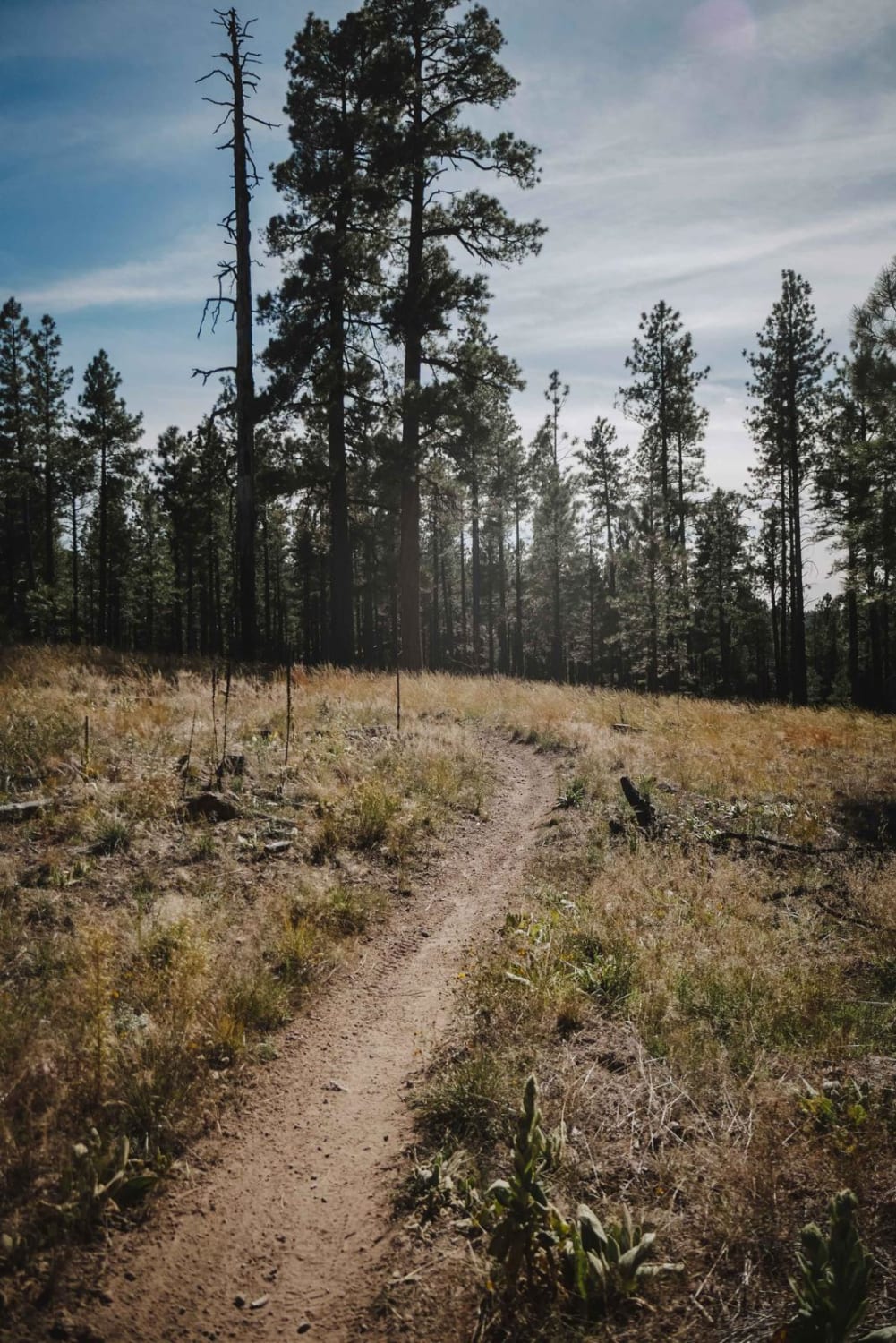
This is a short, scenic, out-and-back spur that leads to a rock-collecting spot that is popular with locals. On the way out and back, there is scenic terrain composed of sandy washes, dry creekbeds, and some short, steep uphill climbs and downhill grades. Typical fauna include lizards, snakes, horned toads, and colorful desert birds. Flora includes many species of cacti and desert plants. Side note: the northernmost point of this trail, also the turnaround point, is adjacent to the southern border of the Yuma Proving Ground. It is closed to public travel, mainly because of unexploded ordinance. Venturing into this area without permission will set off remote alarms which could result in a visit by range authorities via helicopter and fines for unauthorized entry.
Photos of Muggins Mountain East Red Bluff
Difficulty
This is an uneven, rutted dirt trail with potential for loose rocks and sandy washes. There's potential for mud holes and trail obstacles up to 12 inches, including ledges and steep grades. Roads are typically one vehicle wide with places to pass.
History
Most of these trails were blazed in the late 1800s to early 1900s by prospectors seeking gold and silver. Many old abandoned mining sites can be seen along the way.
Status Reports
Popular Trails

Robsons Mining World
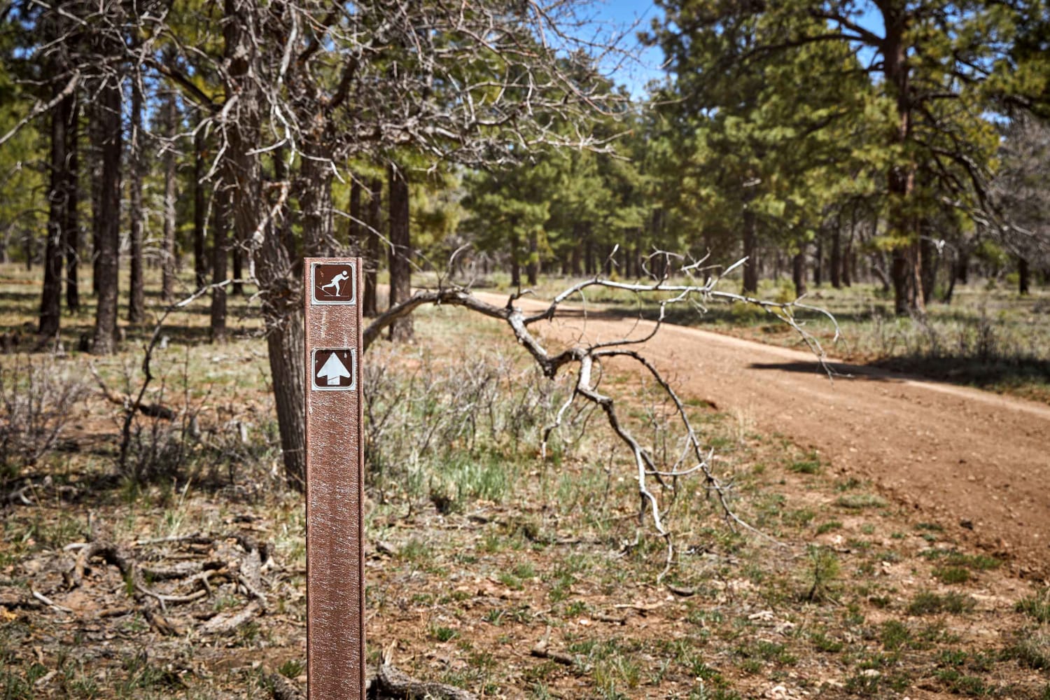
Ski Trail Connector 1
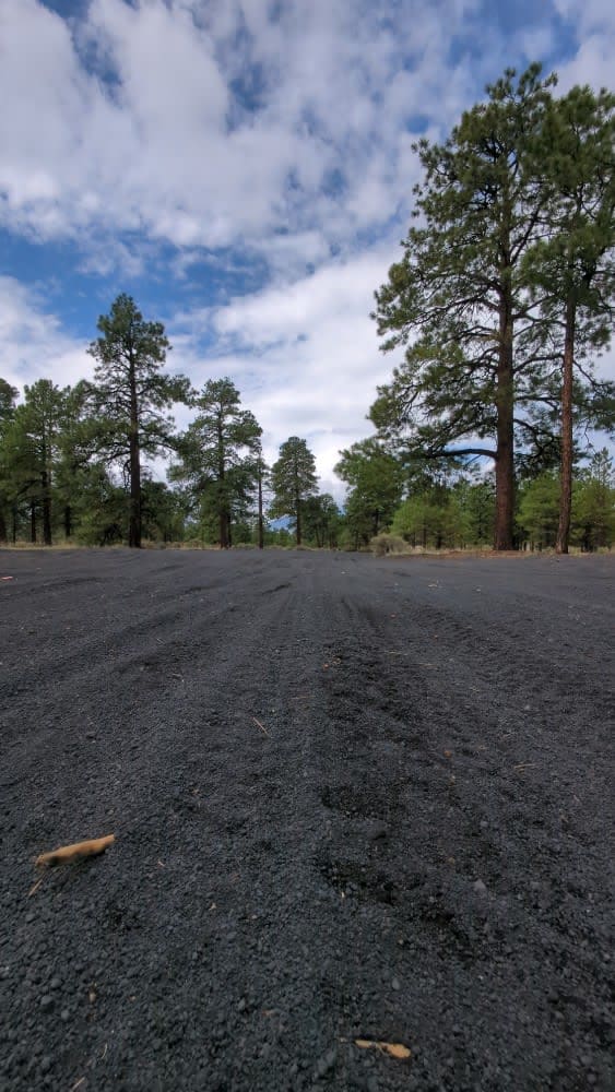
Cinder Hills OHV Area 777
The onX Offroad Difference
onX Offroad combines trail photos, descriptions, difficulty ratings, width restrictions, seasonality, and more in a user-friendly interface. Available on all devices, with offline access and full compatibility with CarPlay and Android Auto. Discover what you’re missing today!
