Noble Mountain
Total Miles
13.3
Technical Rating
Best Time
Spring, Summer, Fall
Trail Type
Full-Width Road
Accessible By
Trail Overview
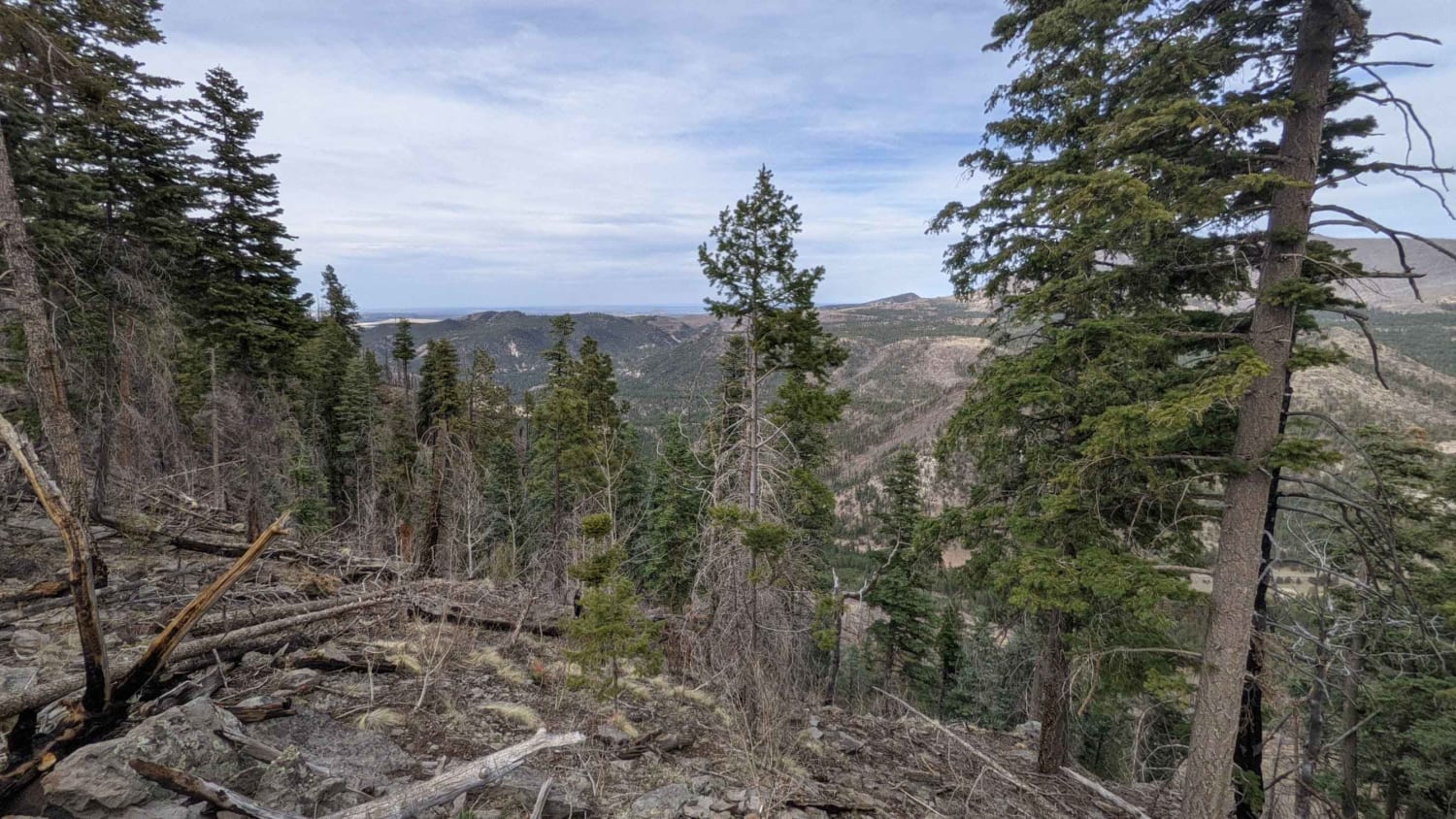
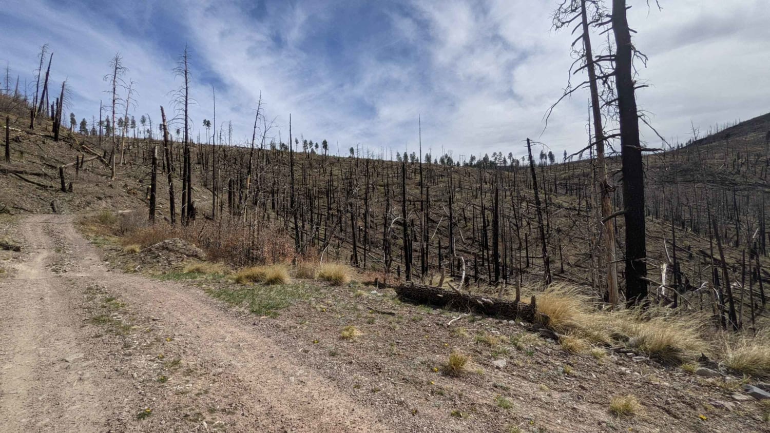
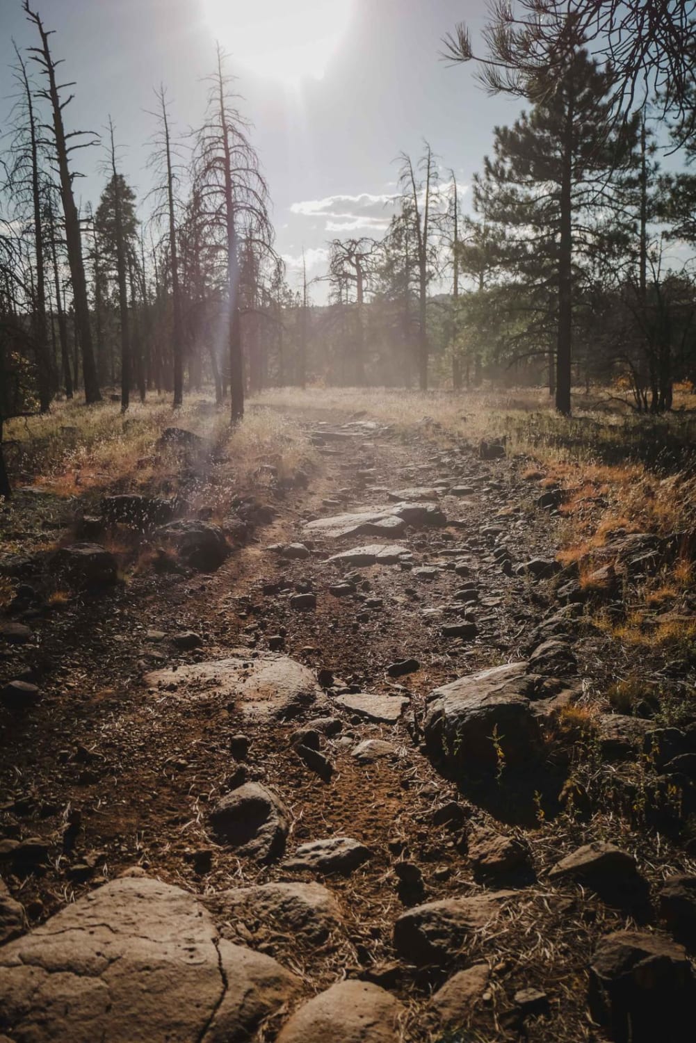
This trail travels above the Alpine Divide and along a head of the San Francisco River. Much of this area was burned out in the Bear Wallow fire of 2011. Although the scarred area itself is not visually appealing, the lack of trees in areas provides for stunning unobstructed views of the many mountains and valleys in the area. The trail can be started from the Alpine Divide or from the intersection with Big Lake Road. The trail is a Forest Service roadway easily passable by most vehicles without trouble. Some portions are rocky and rutted but not difficult. Elevation will reach 9500' with excellent views of the Escudilla Mountain, Mount Baldy, and the surrounding valleys. The North East loop is not far from the Nutrioso valley with an excellent view of Highway 180 down below. There is also a trailhead that requires a hike to a unique and outstanding view of Alpine and the surrounding valley.
Photos of Noble Mountain
Difficulty
This is between a 2 and 3 on the technical rating. There can be some standing water or mud after inclement weather but in good weather the trail is a solid 2.
Status Reports
Noble Mountain can be accessed by the following ride types:
- High-Clearance 4x4
- SUV
- SxS (60")
- ATV (50")
- Dirt Bike
Noble Mountain Map
Popular Trails
Frog Tank Loop
BLM 1395 " The Cutover"
The onX Offroad Difference
onX Offroad combines trail photos, descriptions, difficulty ratings, width restrictions, seasonality, and more in a user-friendly interface. Available on all devices, with offline access and full compatibility with CarPlay and Android Auto. Discover what you’re missing today!
