North Powerline
Total Miles
1.8
Technical Rating
Best Time
Winter, Fall, Spring
Trail Type
Full-Width Road
Accessible By
Trail Overview
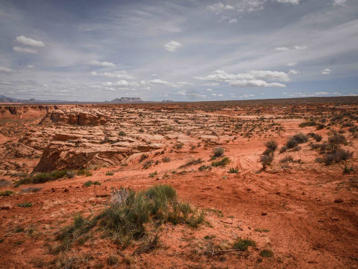
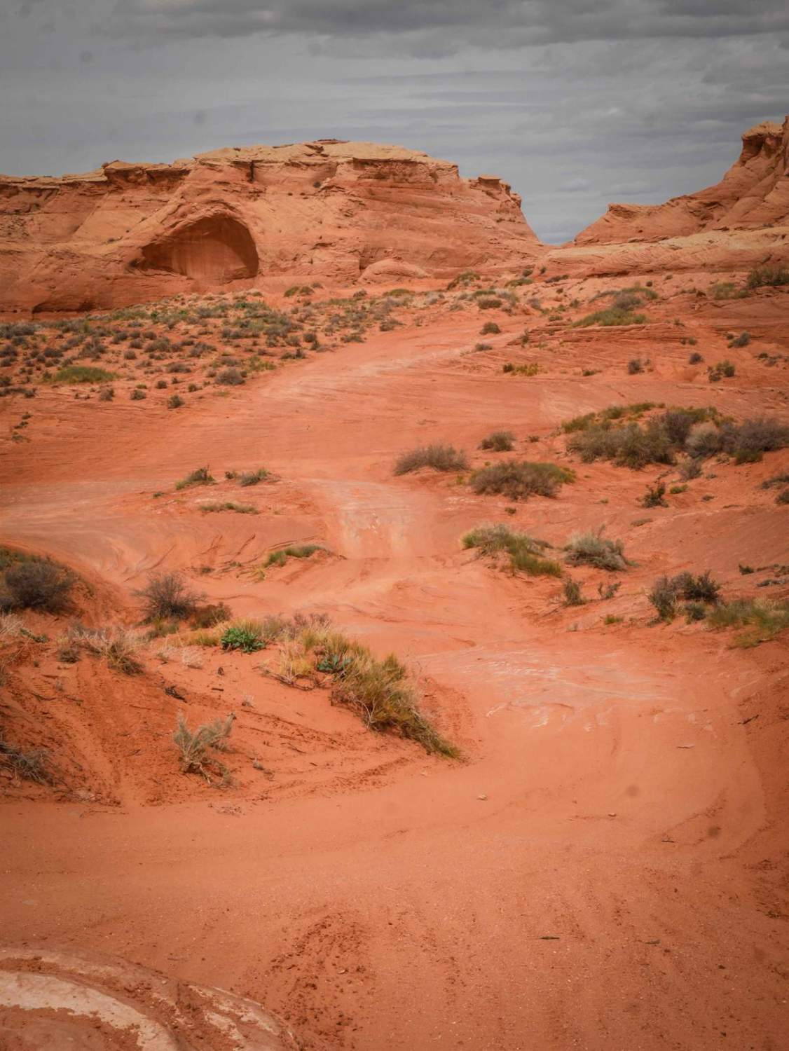
This is a 2-mile powerline trail in the desert south of the City of Page. The south end starts on top of one of the red sandstone mesas, at the intersection with Red Rim. On top of the mesa, it has a pretty cool view out over the whole valley. It has a slightly harder downhill to get off the mesa, with a few small rock ledges that are below a foot tall. It's a bit steep, but not difficult for a capable high-clearance vehicle. It takes you down to a powerline road that is full of sand and whoops. The north end parallels the highway until it ends on Highway 98. It's a quick ride through the desert and one of many trails you can explore in this area.
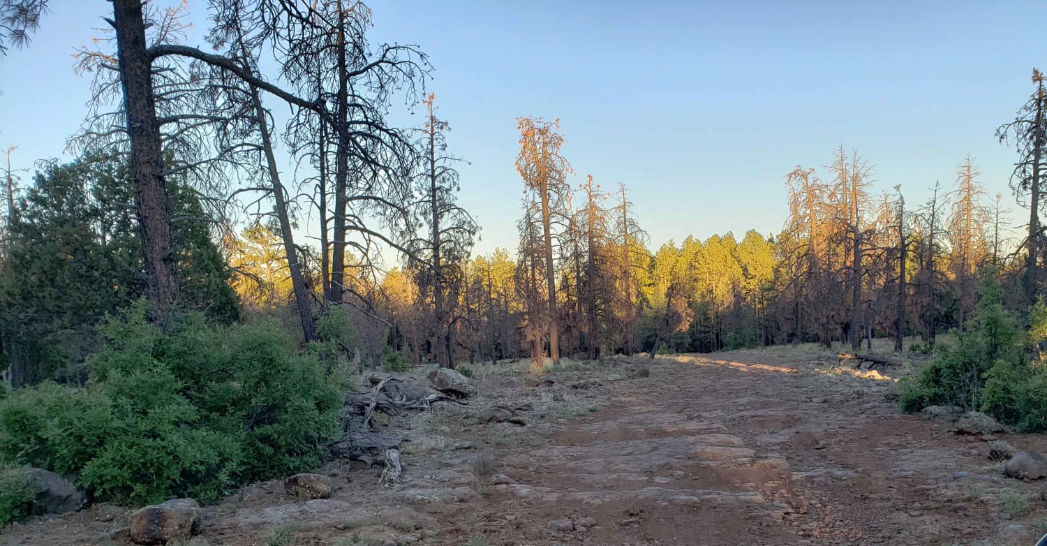
Photos of North Powerline
Difficulty
This trail is a 2 difficulty for lots of sand and small rock ledges that are up to a foot tall.
North Powerline can be accessed by the following ride types:
- High-Clearance 4x4
- SUV
- SxS (60")
- ATV (50")
- Dirt Bike
North Powerline Map
Popular Trails

Windmills Reach

Milltown Old Rail Line Trail
The onX Offroad Difference
onX Offroad combines trail photos, descriptions, difficulty ratings, width restrictions, seasonality, and more in a user-friendly interface. Available on all devices, with offline access and full compatibility with CarPlay and Android Auto. Discover what you’re missing today!


