Oatman Bypass
Total Miles
3.0
Technical Rating
Best Time
Spring, Summer, Fall, Winter
Trail Type
High-Clearance 4x4 Trail
Accessible By
Trail Overview
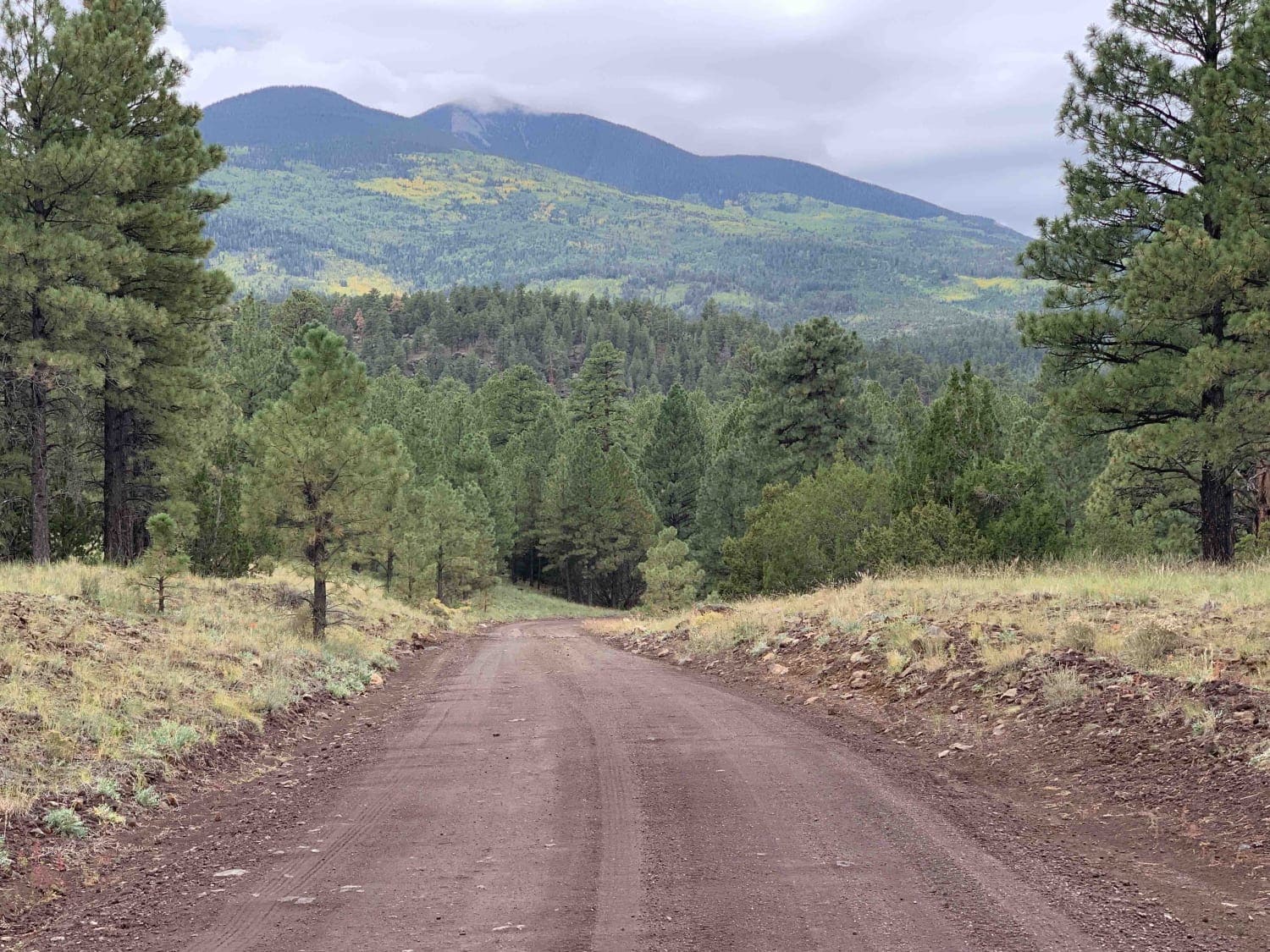
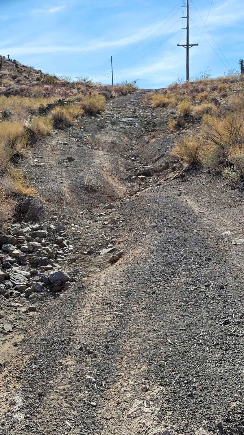
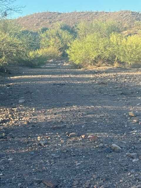
Oatman Bypass is a 3-mile point-to-point, two-track trail that traverses the hill-drenched landscape, beginning/ending at Silver Creek Road (155) and Oatman Road (Highway 153). Throughout the trail, there are several hill climbs/descents of varying lengths and grades. Some are easy-going while a few of them feature loose terrain, steeper grades, rocky patches, small ledges, and erosion ruts/damage. There are a handful of offshoot trails for continued exploration. Enjoy the views of the dramatic landscape from the hilltops. Be sure to keep an eye out for the wild burrows that roam freely out here. The trail is most commonly driven with SXS but a high-clearance 4x4 in 4Lo could likely have some fun.
Photos of Oatman Bypass
Difficulty
Throughout the trail, there are several hill climbs/descents of varying lengths and grades. Some are easy-going while a few of them feature loose terrain, steeper grades, rocky patches, small ledges, and erosion ruts/damage.
Status Reports
Oatman Bypass can be accessed by the following ride types:
- High-Clearance 4x4
- SxS (60")
- ATV (50")
- Dirt Bike
Oatman Bypass Map
Popular Trails

Vekol Wash I-8 Bridge Crossing

White Horse Trail

Old Camp Wood Road
The onX Offroad Difference
onX Offroad combines trail photos, descriptions, difficulty ratings, width restrictions, seasonality, and more in a user-friendly interface. Available on all devices, with offline access and full compatibility with CarPlay and Android Auto. Discover what you’re missing today!


