Page Trail
Total Miles
1.2
Technical Rating
Best Time
Winter, Fall, Spring
Trail Type
Full-Width Road
Accessible By
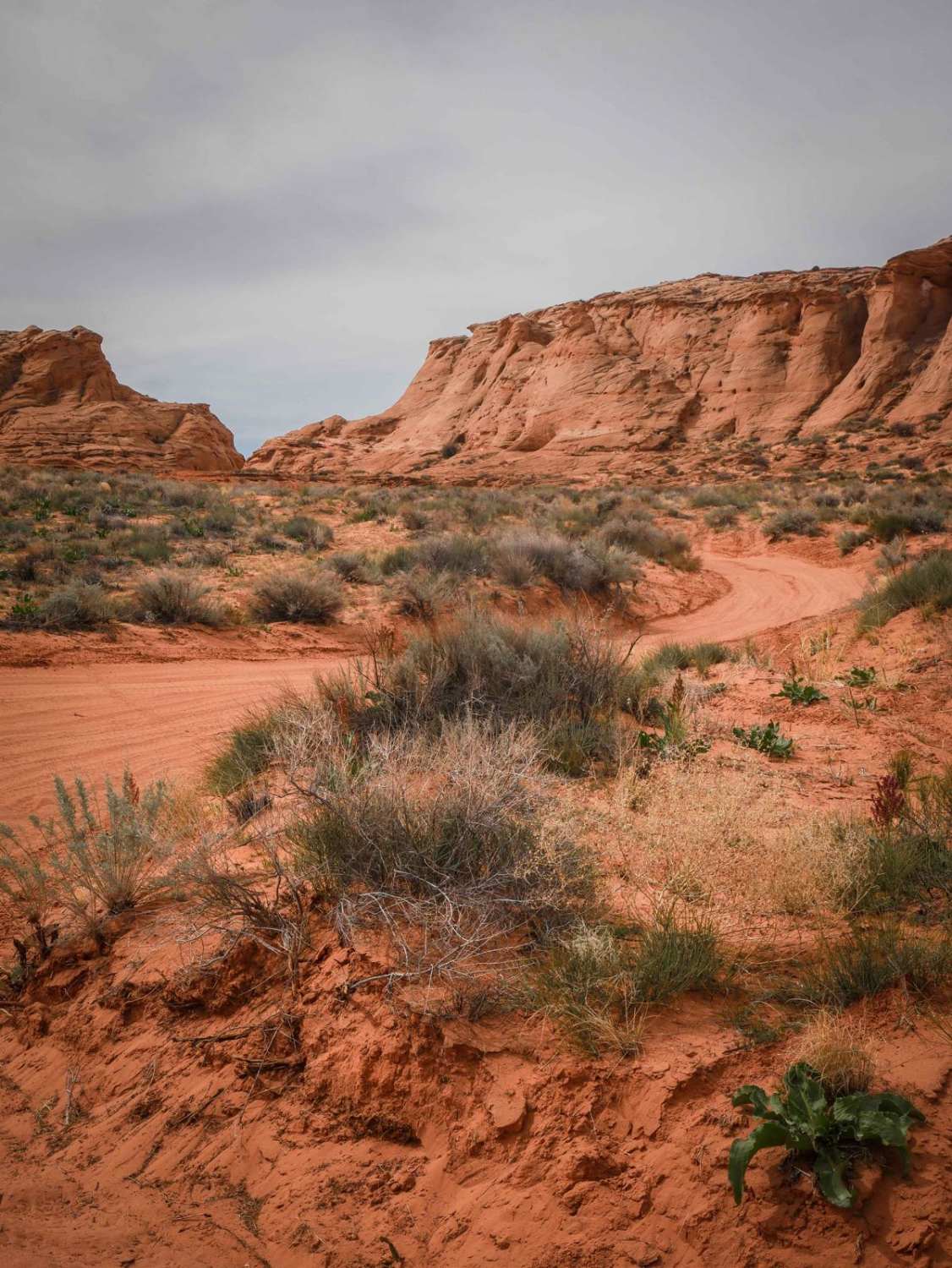
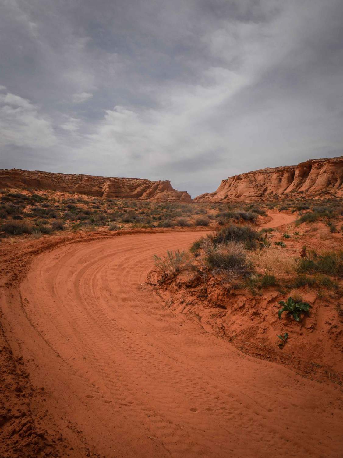
Trail Overview
This 1.3-mile-long sand trail goes through City of Page land south of the town of Page, Arizona. It starts and ends off of the powerline road that starts at the entrance to the OHV area, at the end of the industrial complex. It goes through a red sandy desert with red cliffs in the distance. Most of the trail is fast sandy sections with some red slab rock embedded in the surface and mostly flat. There are lots of unmarked intersections you'll go through. It would be fun to explore in a UTV out here but be prepared for lots of whoops. It goes along the base of one of the sandstone mesas, so the views are awesome. You'll come to a fence halfway through that is against the boundary of the shooting range. It goes along the fenceline back east past the staging area. Overall it's really easy but mostly sand, which can be deep in spots.
Photos of Page Trail
Difficulty
The difficulty is a 2 for sections of deep sand.
Status Reports
Page Trail can be accessed by the following ride types:
- High-Clearance 4x4
- SUV
- SxS (60")
- ATV (50")
- Dirt Bike
Page Trail Map
Popular Trails
Old Car Wash Ajo

Switchback Canyon - Single Track
The onX Offroad Difference
onX Offroad combines trail photos, descriptions, difficulty ratings, width restrictions, seasonality, and more in a user-friendly interface. Available on all devices, with offline access and full compatibility with CarPlay and Android Auto. Discover what you’re missing today!